Bolivia Map with Departments
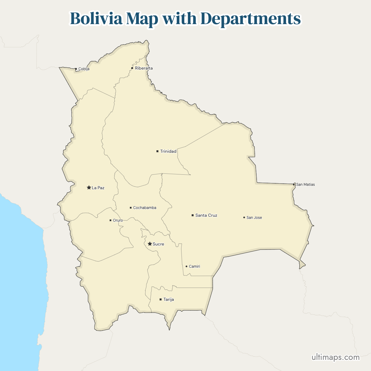
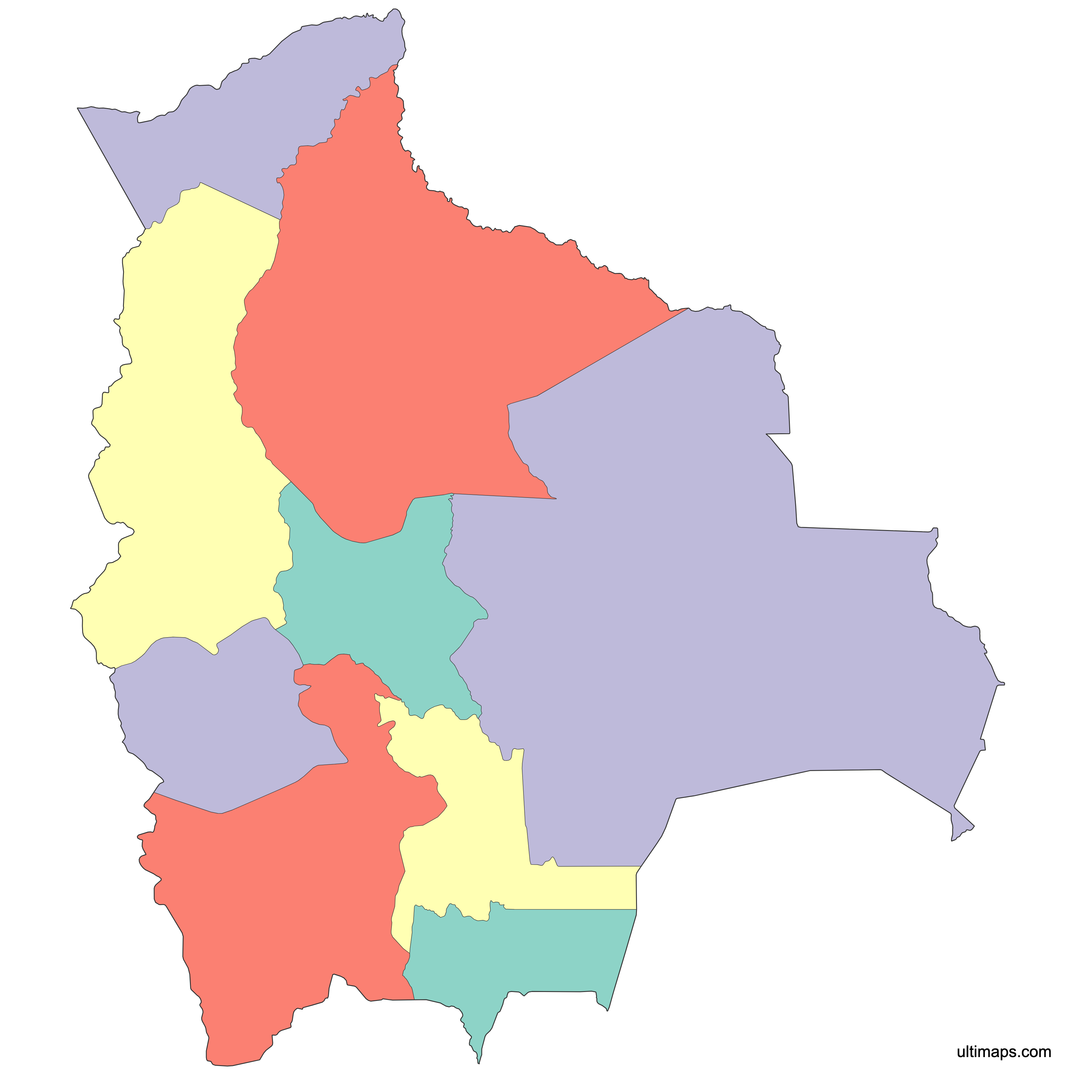
Nine departments form the top tier of Bolivia's administrative structure, stretching from Amazonian Pando in the far north to Tarija on the Argentine frontier. This map draws all 9 of them: Beni, Chuquisaca, Cochabamba, La Paz, Oruro, Pando, Potosí, Santa Cruz and Tarija. Santa Cruz is the largest department at 370,621 km² (143,098 sq mi) and the most populous, with 3,115,386 residents (2024 census). The country's two capitals sit in different departments: Sucre in Chuquisaca is the constitutional capital, while La Paz holds the seat of government. Open the interactive version below to inspect any boundary at close range. The outline is free to download, and you can load departmental statistics to shade the nine units by value.
Interactive Bolivia Map with Departments
List of Departments (9)
| # | Department |
|---|---|
| 1 | Beni |
| 2 | Chuquisaca |
| 3 | Cochabamba |
| 4 | La Paz |
| 5 | Oruro |
| 6 | Pando |
| 7 | Potosí |
| 8 | Santa Cruz |
| 9 | Tarija |
Bolivia Departments: Key Facts
- Total number of departments: 9, Bolivia's first-level administrative division; below them sit 112 provinces and more than 335 municipalities (administrative counts as reported for 2024)
- Most populous department: Santa Cruz - 3,115,386 (2024 census figures), just ahead of La Paz at 3,022,566
- Least populous department: Pando - 130,761 (2024 figures), about 4% of Santa Cruz's population
- Largest department by area: Santa Cruz - 370,621 km² (143,098 sq mi) (2024 reference data)
- Smallest department by area: Tarija - 37,623 km² (14,526 sq mi) (2024 reference data)
- Departments with major urban centers: Santa Cruz (Santa Cruz de la Sierra), La Paz (La Paz and El Alto), Cochabamba (Cochabamba), Chuquisaca (Sucre), Potosí (Potosí), Oruro (Oruro)
- Capital / administrative center: La Paz hosts the executive and legislature as the seat of government; Sucre, in Chuquisaca, is the constitutional capital and home of the judiciary
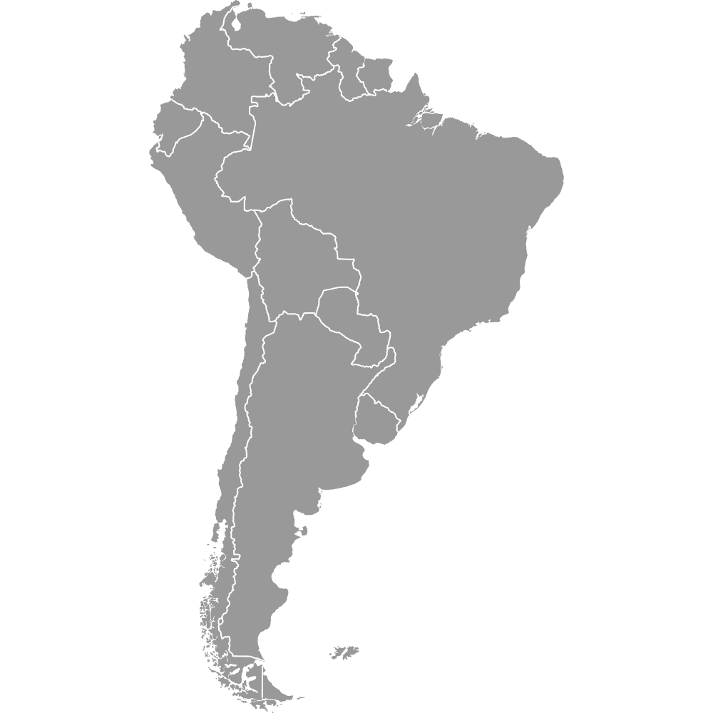
- Borders: Brazil to the north and east, Paraguay to the southeast, Argentina to the south, Chile to the southwest and Peru to the west. Bolivia is landlocked, with Lake Titicaca forming part of the La Paz department boundary with Peru. See also South America - Countries.
- Time zone: Bolivia Time (BOT), UTC−4, applied nationwide with no daylight saving
- Boundary history: the nine-unit framework has held since Pando was carved out of northern territory in 1938; the 2009 Constitution kept departments as the top-level division and granted them autonomous status, while abolishing cantons (1,374 of them historically) as an official administrative level
Interesting Facts
- Santa Cruz leads on both counts at once: 370,621 km² (143,098 sq mi) of territory and 3,115,386 residents (2024 figures), and its area is close to ten times that of Tarija.
- In eight of the nine departments the capital is also the biggest city. The exception is La Paz, where El Alto (885,035 in the 2024 census) has overtaken the city of La Paz.
- The Salar de Uyuni, the world's largest salt flat, lies in Potosí; the pre-Inca site of Tiwanaku sits in La Paz department near Lake Titicaca.
- The Isiboro Sécure National Park and Indigenous Territory (TIPNIS) straddles the Cochabamba-Beni boundary, which is why the two departments appear in the same conservation and road-building debates.
- Beni covers 213,564 km² (82,458 sq mi) but holds only 477,441 people (2024 figures), giving Bolivia's second-largest department one of the country's lowest population densities.
Free Downloads
Free for personal and commercial use with a credit to Ultimaps. See the license terms for details.
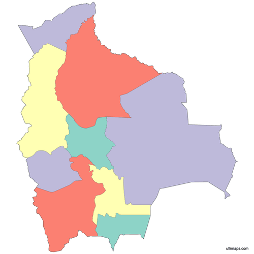 Colored Bolivia Map with Departmentspng356 KB
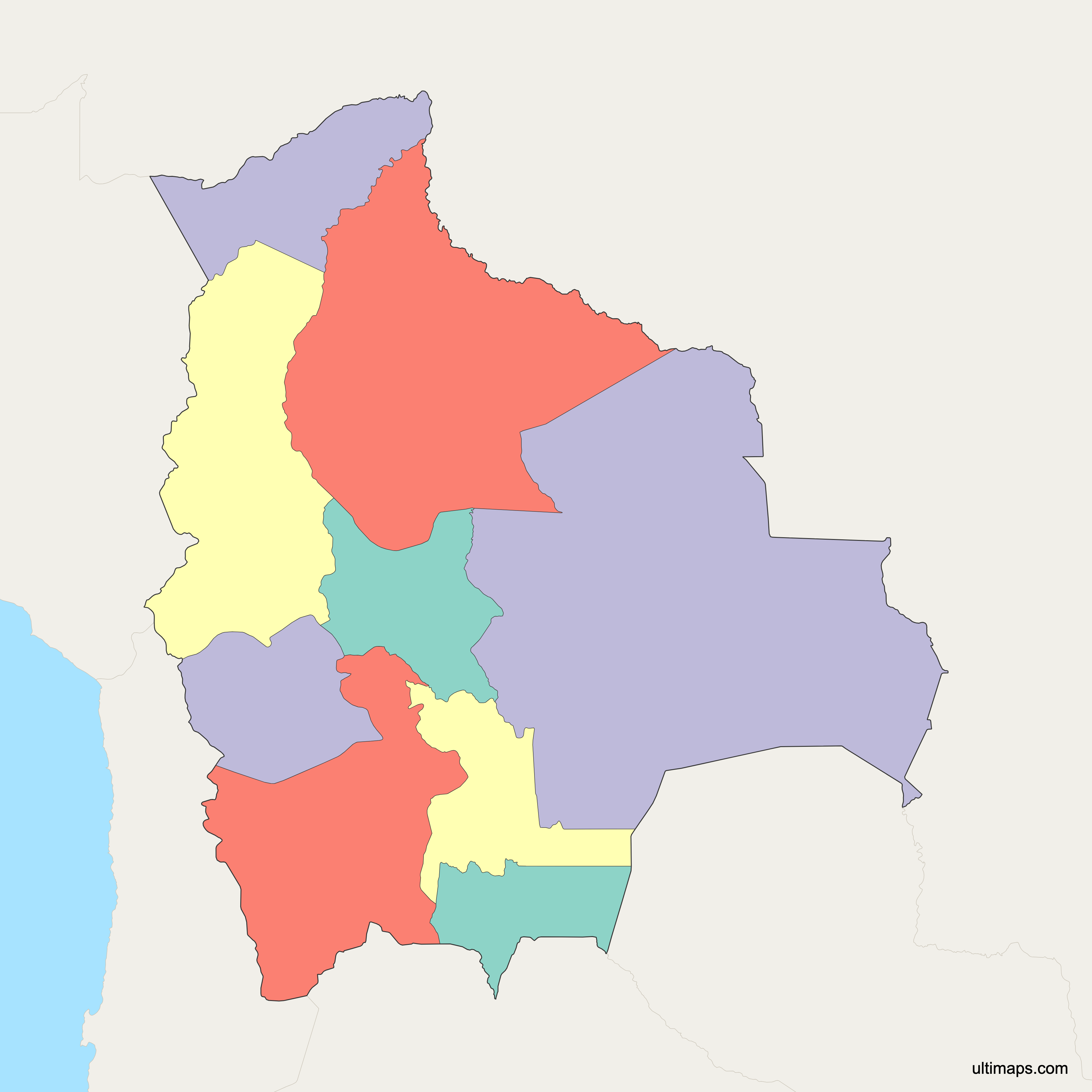
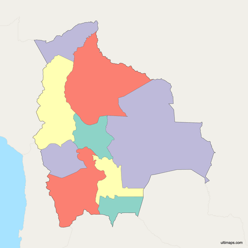 Political Map of Bolivia with Departmentspng391 KB
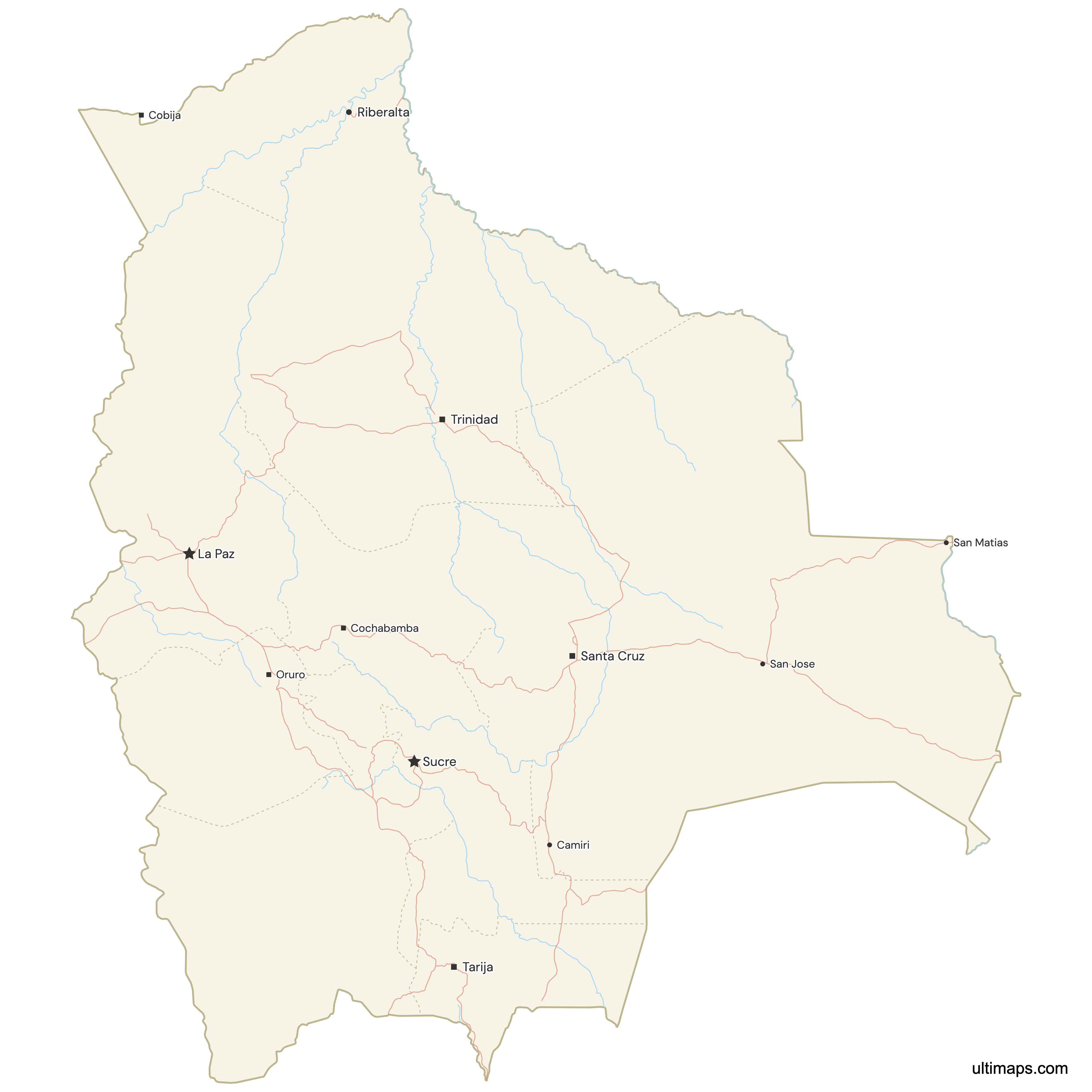
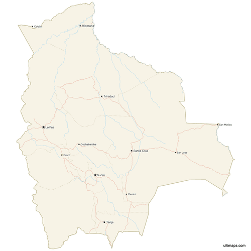 Map of Bolivia with Cities and Roadspng656 KB
Need it without colors? The blank version of this map comes as a print-ready PDF (A4 and US Letter), a PNG and an editable SVG.
Custom Map Features
This map supports surrounding areas, roads, rivers and cities. New
This map is divided into 9 departments.
Updates
May 14, 2026:
- Added map of Bolivia Departments with surrounding countries, cities, roads, rivers and lakes
Frequently Asked Questions
Bolivia has 9 departments, and the map on this page shows all nine: Beni, Chuquisaca, Cochabamba, La Paz, Oruro, Pando, Potosí, Santa Cruz and Tarija. They are the country's first-level administrative division, and the count has stayed at nine since Pando was created in 1938. Beneath the departments are 112 provinces and more than 335 municipalities according to administrative counts reported for 2024. Populations range widely, from 3,115,386 in Santa Cruz down to 130,761 in Pando (2024 figures), and every department elects its own governor and departmental assembly under the 2009 Constitution.
Santa Cruz is the largest Bolivian department by area at 370,621 km² (143,098 sq mi), based on 2024 reference data. It occupies roughly a third of national territory in the eastern lowlands and reaches the borders with Brazil and Paraguay. Beni follows at 213,564 km² (82,458 sq mi) and La Paz at 133,985 km² (51,732 sq mi), so the three biggest departments together account for most of Bolivia's surface. Santa Cruz is also the most populous department, with 3,115,386 residents in 2024 figures, and its capital, Santa Cruz de la Sierra, is the country's largest city.
Tarija is the smallest Bolivian department by area at 37,623 km² (14,526 sq mi) using 2024 reference data, set in the far south against the Argentine border, with a population of 534,348 (2024 figures). By population the smallest is Pando, home to just 130,761 people (2024 figures) spread across 63,827 km² (24,644 sq mi) of Amazonian forest in the north. Pando's capital, Cobija, sits on the Brazilian frontier. The two smallest units contrast sharply with Santa Cruz, which covers nearly ten times Tarija's territory and holds more than 23 times Pando's population.
Santa Cruz is the most populated department in Bolivia with 3,115,386 people according to 2024 figures. Its capital and largest city, Santa Cruz de la Sierra, is the center of the country's fastest-growing economic zone in the eastern lowlands. La Paz department ranks second at 3,022,566, followed by Cochabamba at 2,005,373 and Potosí at 856,419 (all 2024 figures). Those four departments account for the large majority of Bolivians. The least populated is Pando, with 130,761 residents, meaning Santa Cruz alone holds more than twenty times the population of Bolivia's least populated department.
Bolivia has two capitals in practice. Sucre, in Chuquisaca department, is the constitutional and legal capital and hosts the Supreme Tribunal of Justice and the rest of the judiciary. La Paz, in La Paz department, is the seat of government and administrative capital, where the presidency and the Plurinational Legislative Assembly sit. Sucre held the full role until the 1899 Federal War moved the executive and legislature to La Paz, and the split has held ever since. Chuquisaca counts 600,132 residents and La Paz department 3,022,566 (2024 figures), which is why La Paz functions as the day-to-day political center.
El Alto lies in La Paz department, on the altiplano above the city of La Paz at roughly 4,000 meters of elevation. With 885,035 residents in the 2024 census, El Alto is now larger than the city of La Paz itself, making La Paz the only one of Bolivia's nine departments whose capital is not its biggest city. The department as a whole holds 3,022,566 people across 133,985 km² (51,732 sq mi; 2024 figures), second only to Santa Cruz. The La Paz and El Alto conurbation forms the main administrative and transport hub of western Bolivia.
Bolivia borders five countries: Brazil, Peru, Chile, Argentina and Paraguay. Brazil runs along the longest stretch, touching Pando, Beni and Santa Cruz. Peru meets Pando and La Paz in the northwest, with Lake Titicaca shared between the two states. Chile borders La Paz, Oruro and Potosí across the high Andes, Argentina meets Tarija and Potosí in the south, and Paraguay adjoins Santa Cruz, Chuquisaca and Tarija in the Chaco. Bolivia has had no coastline since losing its coastal Litoral department in the War of the Pacific (1879-1884), making it one of South America's two landlocked states.
Below Bolivia's 9 departments come 112 provinces and more than 335 municipalities, according to administrative counts reported for 2024; published municipality totals vary between roughly 337 and 340 because new units are created periodically. Municipalities are the level with elected mayors and councils and handle most local services. Cantons, historically numbering about 1,374, once formed a further tier but were removed as an official administrative level by the 2009 Constitution. That same constitution introduced departmental, municipal, regional and indigenous autonomies, so several departments now contain autonomous indigenous territories alongside standard municipalities.
Ultimaps runs in a browser tab, so no installation and no account are needed. You can set a fill for Beni, Potosí or any single department by clicking it, or load a table with one value per department and apply a graduated scale across all nine. Styling options cover the color ramp, label wording, border weight and the background behind the map. Markers can be placed on Santa Cruz de la Sierra, Sucre, Cobija and Trinidad, or on any coordinate pair you enter, each with an optional caption. Export the finished map as PNG, PDF or SVG.