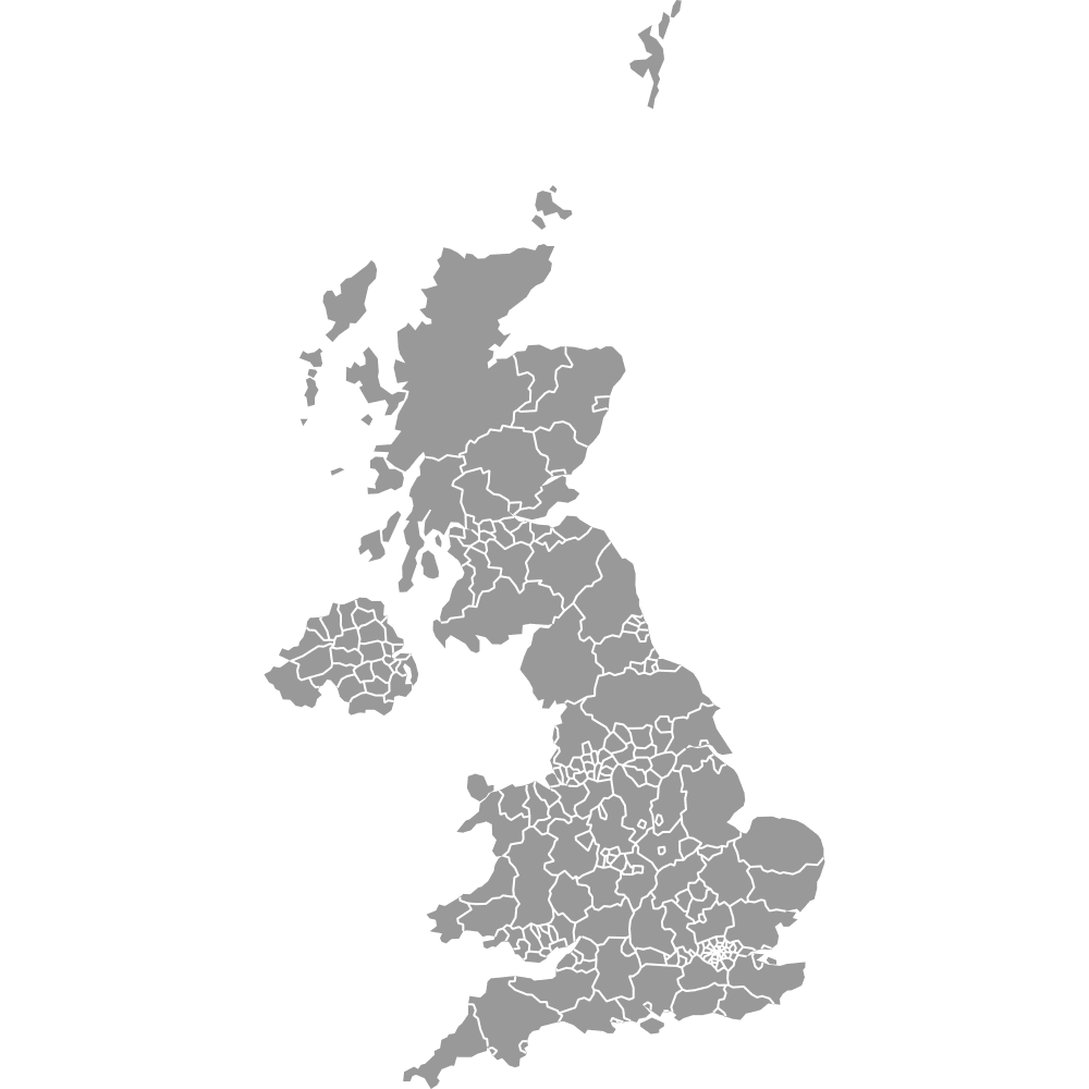
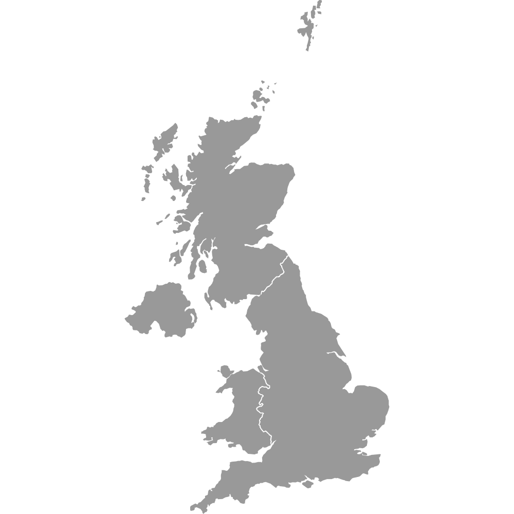
Map of United Kingdom Regions
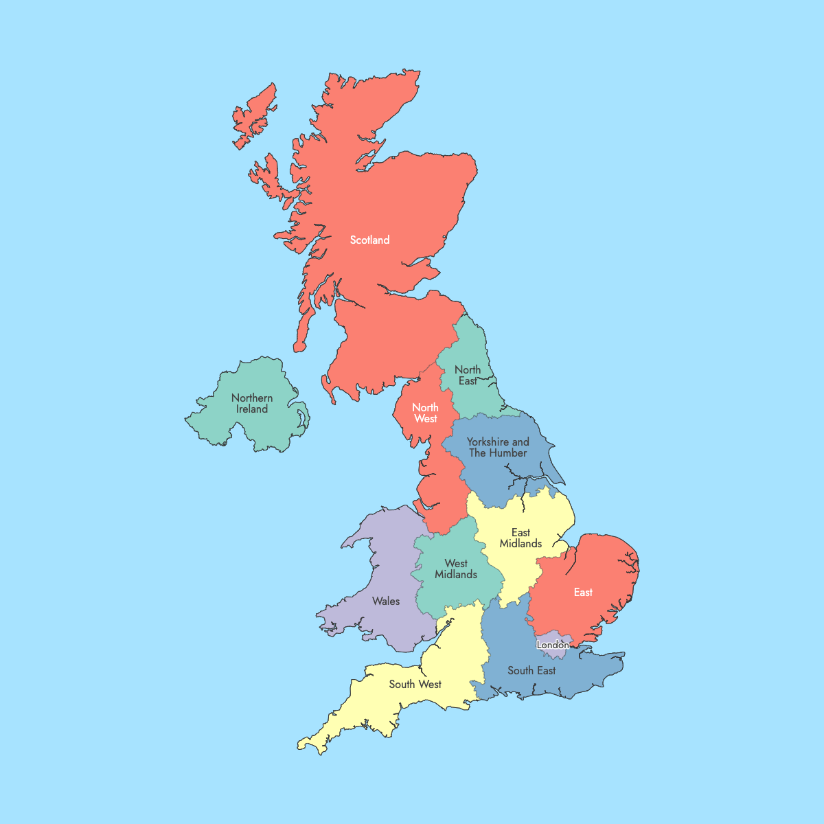
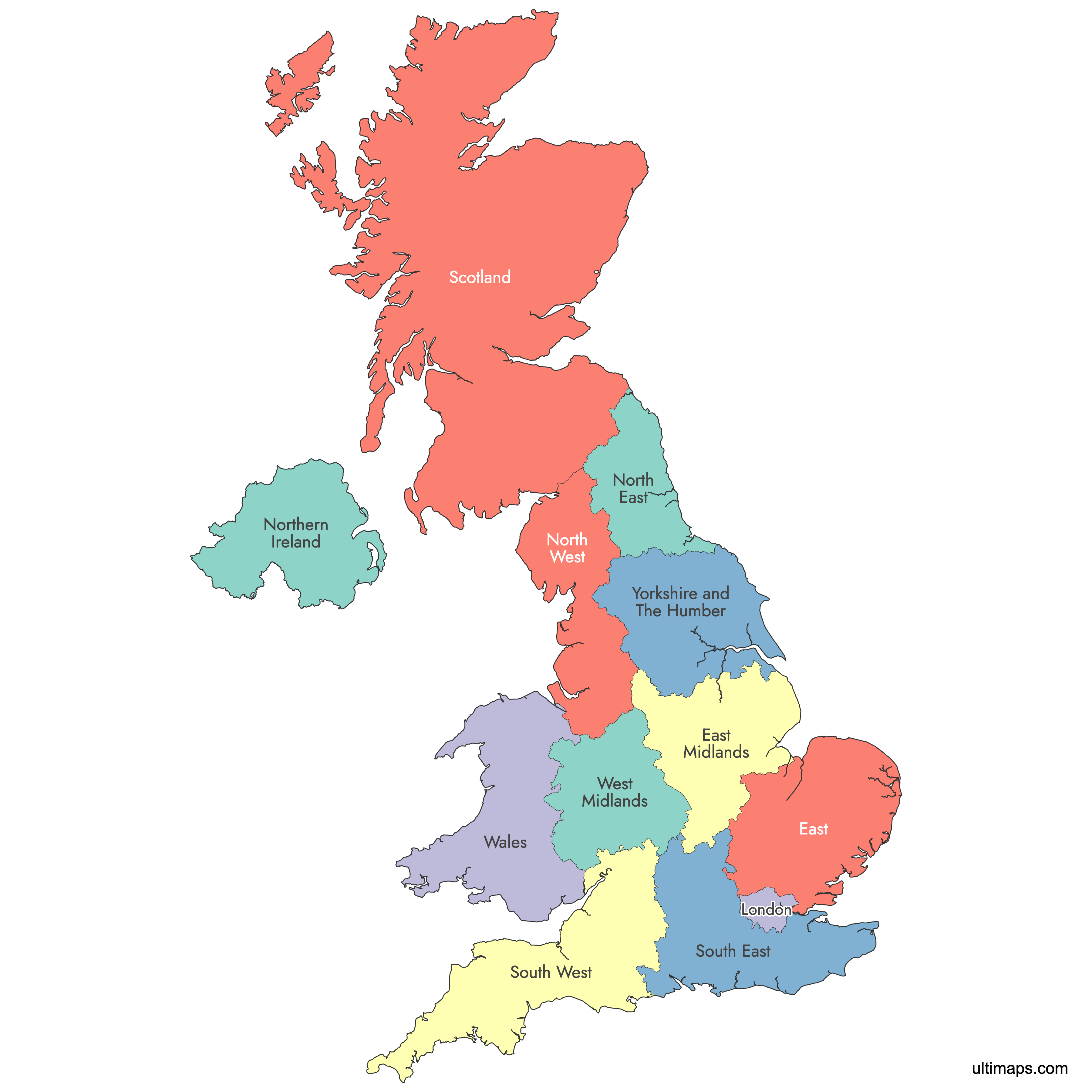
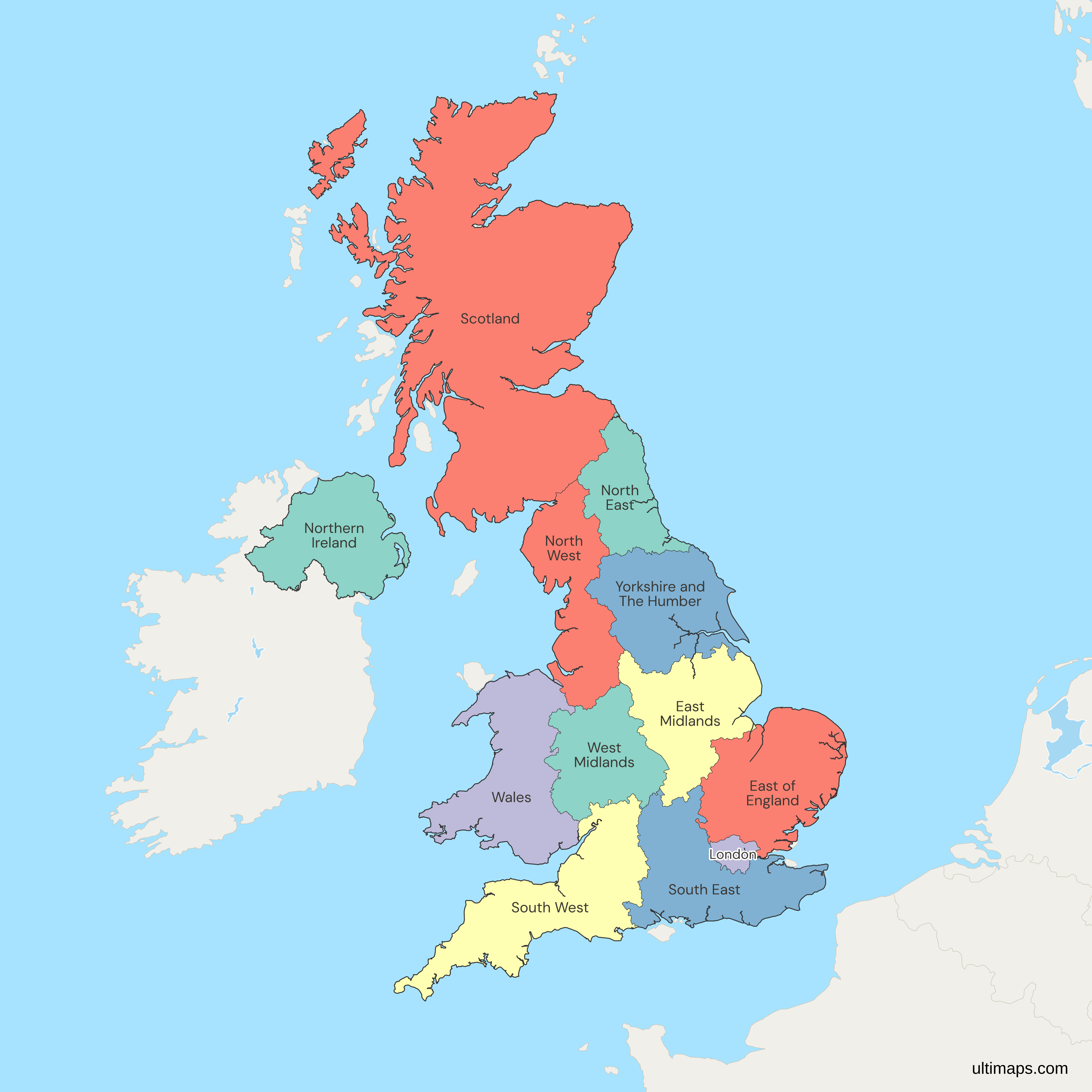
The United Kingdom is divided into 12 first-level statistical regions: Scotland, Wales, Northern Ireland and nine regions of England. These ITL1 areas are used for government statistics, funding and planning. ITL replaced the former NUTS system after Brexit but mirrors it, so the ITL1 regions are the same as the former NUTS1 regions.
Use the interactive maps below to explore these regions and their boundaries. Download free maps or learn more about creating a custom UK regions map to highlight your own data.
Interactive Map of United Kingdom Regions
List of Regions (12)
| # | Region |
|---|---|
| 1 | East Midlands |
| 2 | East of England |
| 3 | London |
| 4 | North East |
| 5 | North West |
| 6 | Northern Ireland |
| 7 | Scotland |
| 8 | South East |
| 9 | South West |
| 10 | Wales |
| 11 | West Midlands |
| 12 | Yorkshire and The Humber |
United Kingdom ITL1 Regions: Key Facts
- Number of regions: 12
- Largest region by area: Scotland - about 77,900 km² (32% of UK land)
- Most populous region: South East England - roughly 9.3 million residents
- Smallest region by area: Greater London - 1,572 km²
- Regions with major urban centres: Greater London (London), West Midlands (Birmingham, Coventry), North West England (Manchester, Liverpool), Yorkshire and the Humber (Leeds, Sheffield)
- Time zone: GMT
Free Downloads
Free for personal and commercial use with a credit to Ultimaps. See the license terms for details.
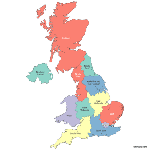 Colored Map of United Kingdom Regionspng643 KB
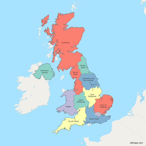 Political Map of the United Kingdom with ITL1 (NUTS1) Regionspng797 KB
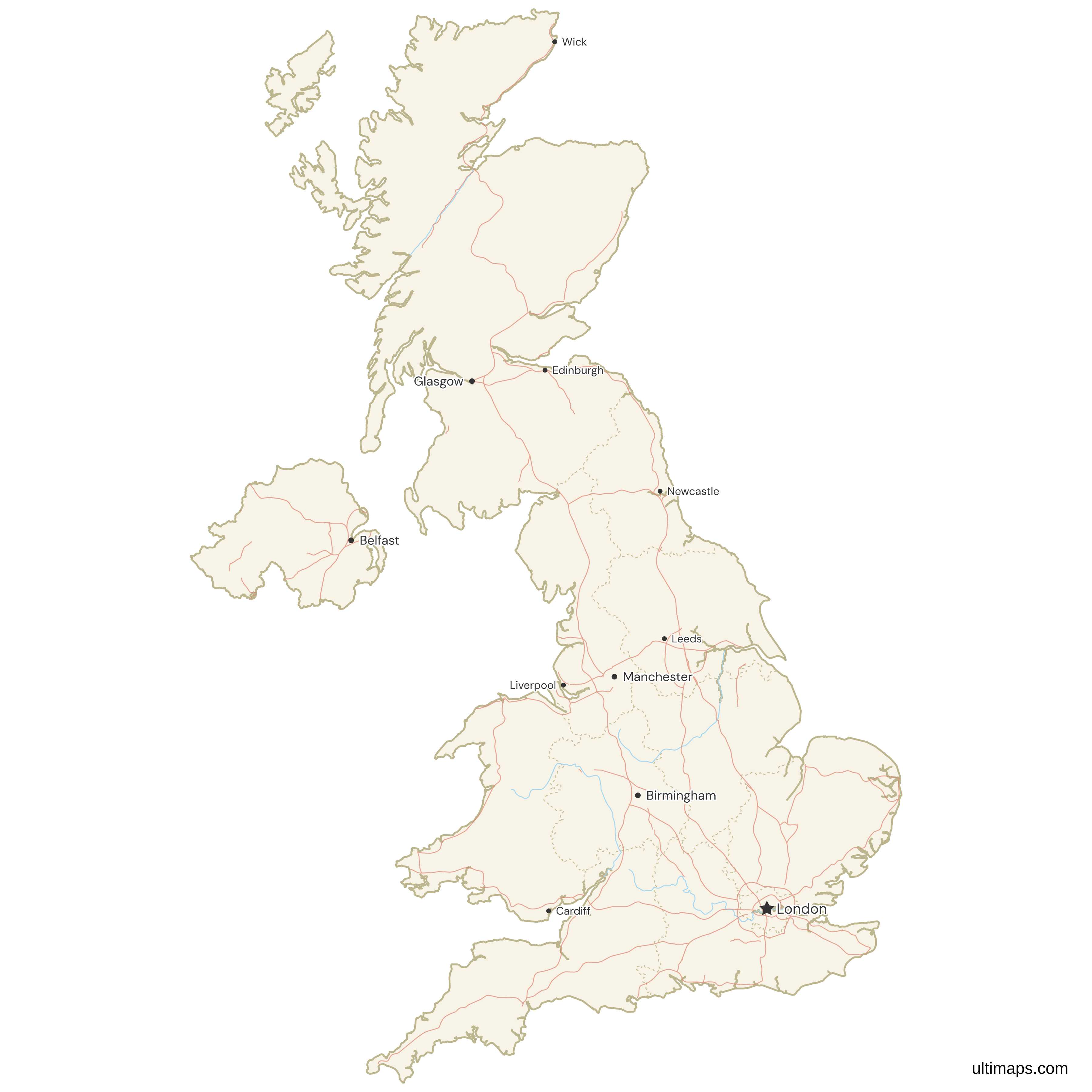
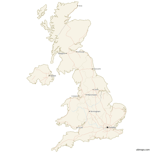 Map of the United Kingdom with Cities and Roadspng786 KB
Need it without colors? The blank version of this map comes as a print-ready PDF (A4 and US Letter), a PNG and an editable SVG.
Custom Map Features
This map supports labels.
This map supports surrounding areas, roads, rivers and cities. New
This map is divided into 12 regions.
Updates
Nov 20, 2025:
- Added map of UK regions with labels