Armenia Map with Provinces
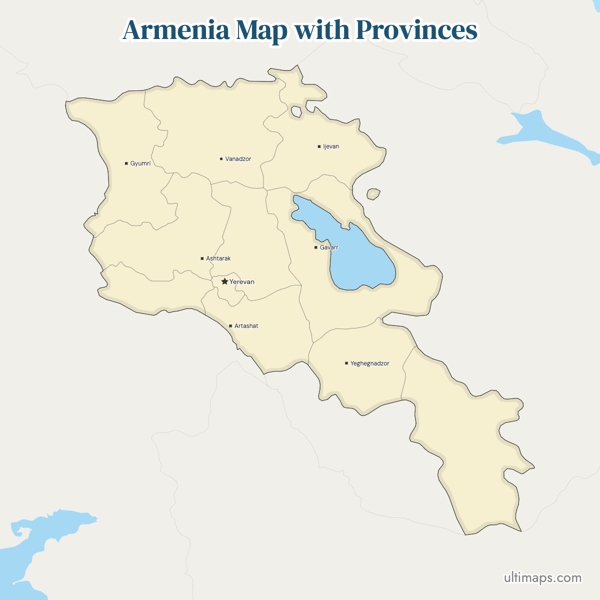
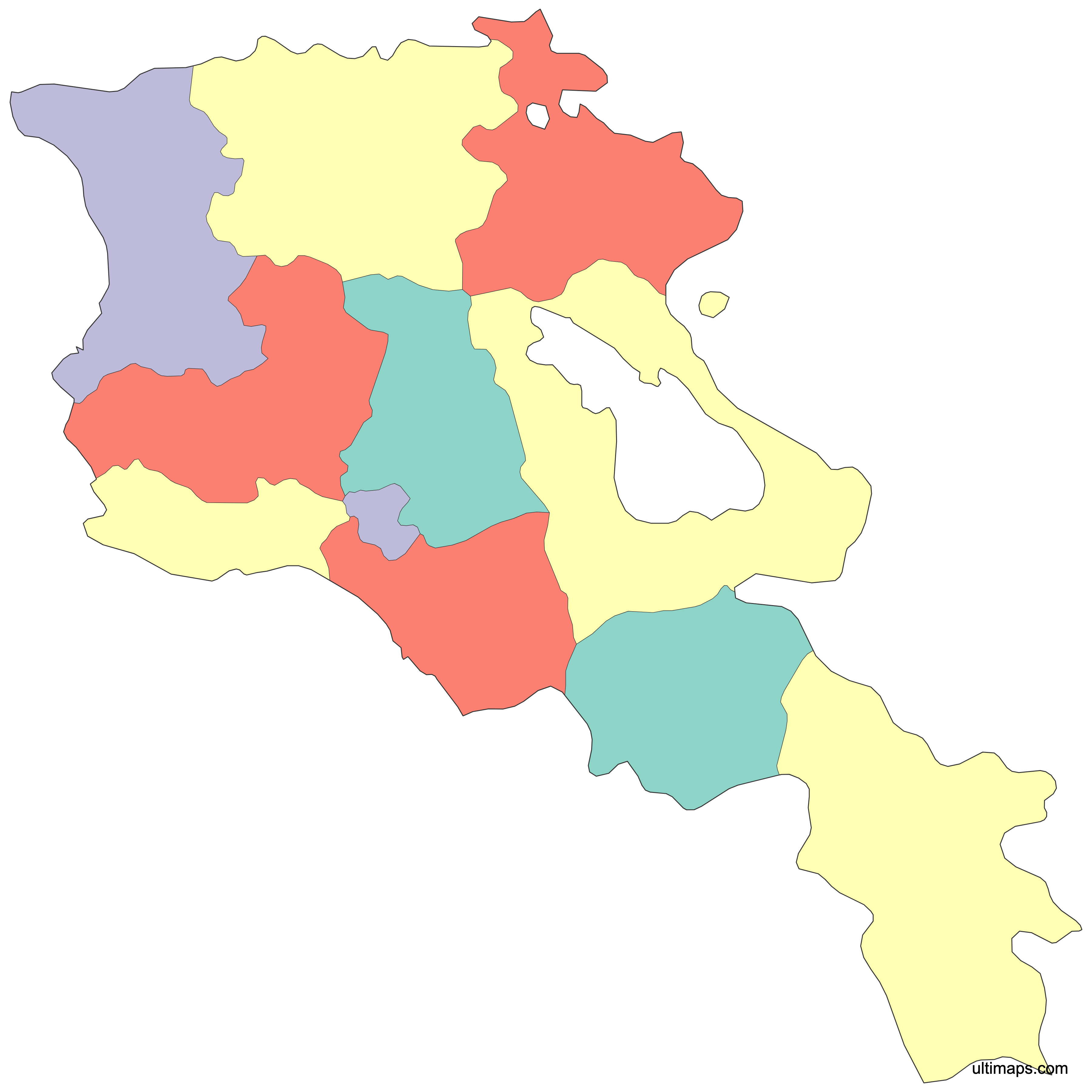
Armenia's first-level administrative map has 11 units: 10 provinces, called marzer (singular marz), and Yerevan, the capital, which is governed as a separate unit with special status. All 11 are drawn here. The arrangement dates to 1995, when the post-Soviet reorganization under the new Constitution replaced the older Soviet-era district system. The units differ sharply in character: Syunik runs down the mountainous south toward the Iranian border, Gegharkunik wraps around Lake Sevan, Shirak holds Gyumri on the northern plateau, and Yerevan fits 1,086,677 residents (2022 census) into 223 km². Inspect any marz line or provincial seat on the map below. The base file is a free download; with a number recorded against every unit, the fills change to reflect the data.
Interactive Armenia Map with Provinces
List of Provinces (11)
| # | Province |
|---|---|
| 1 | Aragatsotn |
| 2 | Ararat |
| 3 | Armavir |
| 4 | Gegharkunik |
| 5 | Kotayk |
| 6 | Lori |
| 7 | Shirak |
| 8 | Syunik |
| 9 | Tavush |
| 10 | Vayots Dzor |
| 11 | Yerevan |
Armenia Provinces: Key Facts
- Total number of units on this map: 11 (the 10 provinces, or marzer, plus the capital Yerevan). Official Armenian usage counts 10 provinces and lists Yerevan separately because of its special status, so both 10 and 11 appear in reference sources.
- Most populous unit: Yerevan, 1,086,677 (2022 census)
- Least populous province: Vayots Dzor, 47,369 (2022 census)
- Largest by area: Gegharkunik, 5,351 km² (2,066 sq mi), of which Lake Sevan makes up 1,278 km²; Syunik, at 4,506 km² (1,740 sq mi), is the largest by land area
- Smallest by area: Yerevan, 223 km² (86 sq mi)
- Provinces with major urban centers: Shirak (Gyumri, the country's second city), Lori (Vanadzor), Armavir (Vagharshapat, also called Etchmiadzin), Ararat (Artashat), Gegharkunik (Gavar), Syunik (Kapan and Goris)
- Capital: Yerevan, which serves as the national capital and as its own administrative unit
- Borders: Georgia to the north, Azerbaijan to the east, Iran to the south, Turkey to the west. Armenia is landlocked; Lake Sevan, inside Gegharkunik, is the dominant water body.
- Time zone: Armenia Time (AMT), UTC+4, with no daylight saving
- Boundaries established: 1995, under the post-Soviet Constitution
Interesting Facts
- Yerevan is both the smallest unit by area, at 223 km² (86 sq mi), and by far the most populous, with 1,086,677 residents in the 2022 census.
- Syunik covers 4,506 km² of land, more than 20 times Yerevan's 223 km², yet holds a small fraction of its population.
- Yerevan counts roughly 23 times as many residents as Vayots Dzor (47,369 in the 2022 census).
- The Armenian term is marz in the singular and marzer in the plural, which is why English sources sometimes write "marzes".
- Historical atlases of the region often show a completely different scheme, such as the 15 provinces (ashkharhs) of Greater Armenia, which have no relation to the 1995 units.
Free Downloads
Free for personal and commercial use with a credit to Ultimaps. See the license terms for details.
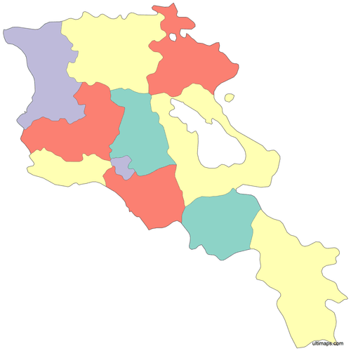 Colored Armenia Map with Provincespng464 KB
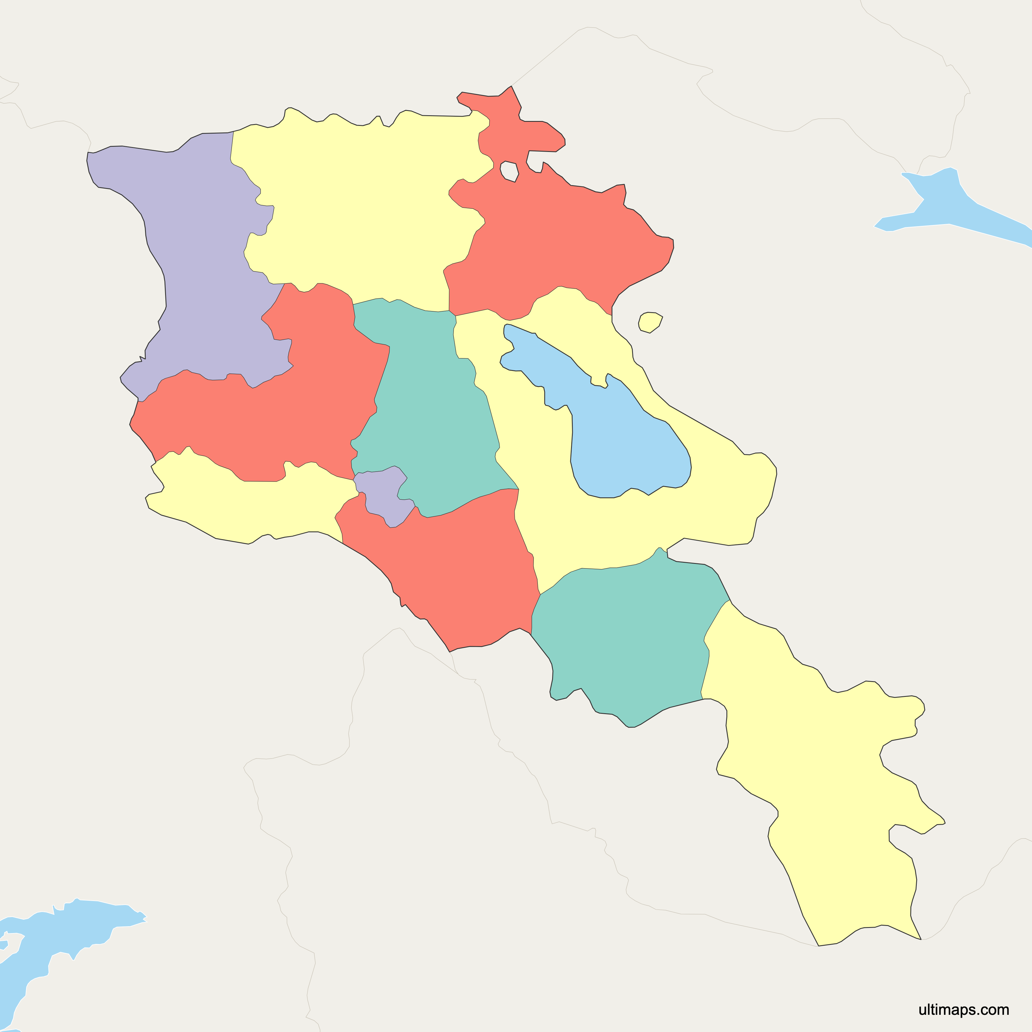
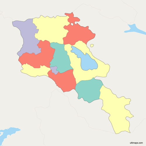 Political Map of Armenia with Provincespng538 KB
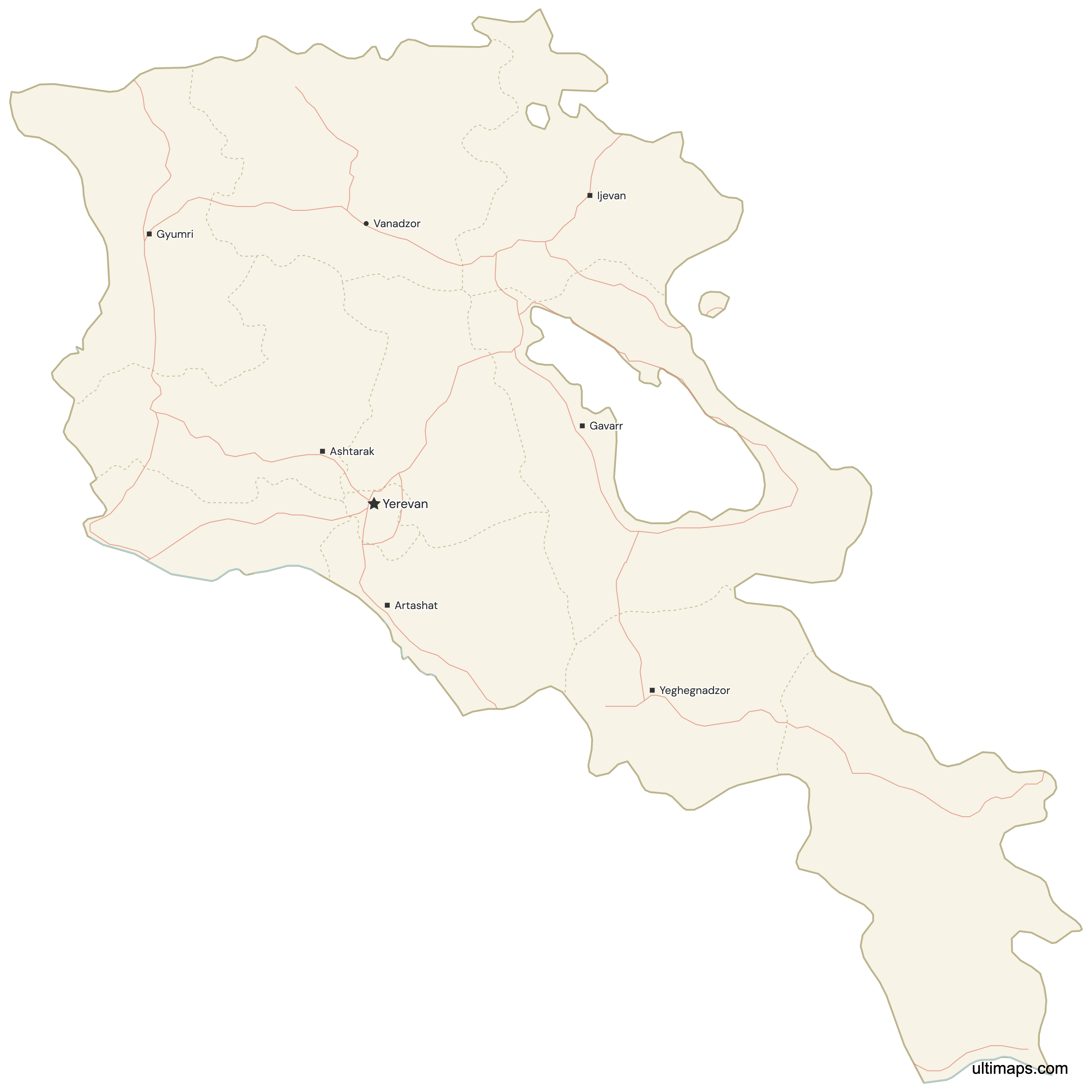
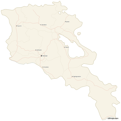 Map of Armenia with Cities and Roadspng647 KB
Need it without colors? The blank version of this map comes as a print-ready PDF (A4 and US Letter), a PNG and an editable SVG.
Custom Map Features
This map supports surrounding areas, roads, rivers and cities. New
This map is divided into 11 provinces.
Updates
May 14, 2026:
- Added map of Armenia Provinces with surrounding countries, cities, roads, rivers and lakes
Frequently Asked Questions
Armenia has 10 provinces, called marzer in Armenian, plus Yerevan, the capital, which is administered as a separate unit with special status. That gives 11 first-level divisions, and this map draws all 11. The ten marzer are Aragatsotn, Ararat, Armavir, Gegharkunik, Kotayk, Lori, Shirak, Syunik, Tavush and Vayots Dzor. Because Armenian government listings usually place Yerevan on its own line, you will see the count reported as 10 in some sources and 11 in others, depending on whether the capital is included. The current structure took effect in 1995.
Yerevan is not one of Armenia's 10 provinces. It is a community with special administrative status, treated as a first-level unit alongside the marzer for statistical and mapping purposes, which is why this map shows 11 shapes instead of 10. Yerevan covers 223 km² (86 sq mi), the smallest area of any unit, and recorded 1,086,677 residents in the 2022 census, more than any province. It houses the national government, Republic Square, the Cascade and the Matenadaran manuscript repository, and it is surrounded by Ararat, Armavir, Kotayk and Aragatsotn provinces.
Syunik is Armenia's largest province by land area at 4,506 km² (1,740 sq mi); Gegharkunik's total of 5,351 km² (2,066 sq mi) is bigger on paper, but 1,278 km² of it is the surface of Lake Sevan. It occupies the mountainous far south, reaching the border with Iran, and its provincial capital is Kapan. Goris is the other well-known town, and the southern highway corridor toward the Iranian frontier crosses the province. For scale, Syunik's land area is more than 20 times that of Yerevan, which covers 223 km² (86 sq mi) and is the smallest of the 11 first-level units. Syunik's population is modest relative to its size, since much of the territory is high mountain terrain.
Yerevan is the most populated region of Armenia, with 1,086,677 residents recorded in the 2022 census. It is a first-level unit in its own right rather than a province, and that population lives within 223 km² (86 sq mi), a density of about 4,870 people per km² on 2022 census figures. No marz comes close. Outside the capital, the largest urban centers are Gyumri in Shirak province, Armenia's second city, and Vanadzor in Lori province in the north. Vagharshapat, also known as Etchmiadzin, in Armavir province is the country's main religious center.
Vayots Dzor is Armenia's least populated province, with 47,369 residents in the 2022 census. Its administrative center is Yeghegnadzor, and the province is known for the Noravank monastery and its wine-growing valleys in the southeast of the country. The gap with the capital is large: Yerevan's 1,086,677 residents outnumber Vayots Dzor's population by roughly 23 to 1. Vayots Dzor sits between Ararat, Gegharkunik and Syunik provinces, with Azerbaijan's Nakhchivan exclave along its western edge, and much of its territory is mountainous, which keeps settlement concentrated in a handful of valley towns and villages.
Each of Armenia's 10 provinces has its own administrative center: Ashtarak for Aragatsotn, Artashat for Ararat, Armavir for Armavir, Gavar for Gegharkunik, Hrazdan for Kotayk, Vanadzor for Lori, Gyumri for Shirak, Kapan for Syunik, Ijevan for Tavush and Yeghegnadzor for Vayots Dzor. Yerevan is the national capital and is not the seat of any province, since it forms a separate unit. Gyumri and Vanadzor are the two largest provincial seats. Gavar sits close to Lake Sevan, and Artashat lies a short distance south of Yerevan on the Ararat plain.
Lake Sevan lies in Gegharkunik province, in eastern Armenia. It is the country's largest lake and one of its best-known landmarks, and it appears on most maps of Armenia as the dominant blue area. Gegharkunik's administrative center is Gavar, and the Sevanavank monastery stands on a peninsula on the lake's northwestern shore. The province borders Tavush, Kotayk, Ararat and Vayots Dzor, and its eastern edge follows the frontier with Azerbaijan. Much of Gegharkunik's settlement pattern follows the lake shore and the roads that circle it.
Armenia's current provincial boundaries were established in 1995, under the post-Soviet Constitution, as part of the reorganization that grouped the earlier Soviet-era districts into 10 marzer plus the special-status capital. That system has stayed in place since, so a map from 1995 and one drawn today show the same 11 first-level units. Older historical maps of the region use unrelated schemes, such as the 15 provinces of Greater Armenia found in pre-modern cartography, which should not be confused with the modern marzer. Names are romanized in several ways, so spellings like Syunik, Syunik' and Siunik all refer to the same province.
Ultimaps runs the Armenia map editor in the browser, and no account is needed on the free tier. A spreadsheet is the usual starting point: eleven rows, a marz name and a figure on each, and the 11 fills are scaled to those numbers. Individual units — Syunik, Tavush or Yerevan among them — can instead be given a fill by clicking them. Other controls let you exchange one palette for another, edit any label, set the typeface, and widen or narrow the marz borders. To mark Gyumri, Kapan or any exact coordinate, place a pin there; captions are optional. The final artwork saves in your choice of PNG, PDF or SVG.