Russia Map with Federal Subjects
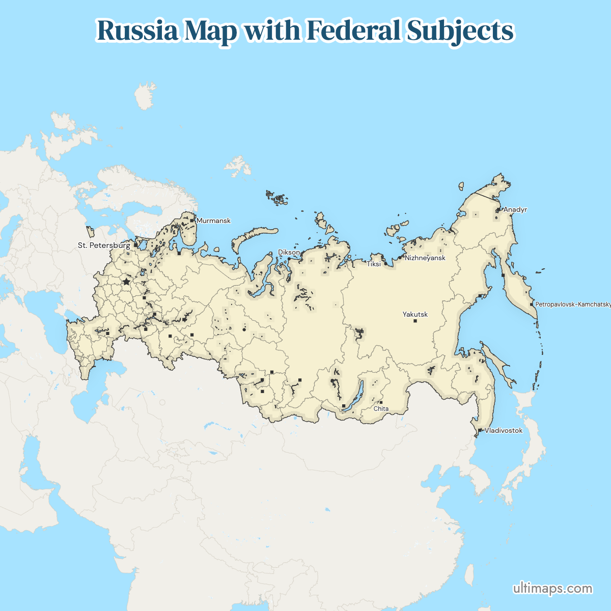
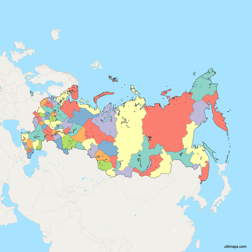
Federal subjects are Russia's top-level administrative units: oblasts, republics, krais, autonomous okrugs, one autonomous oblast and the federal cities. They cover 11 time zones, from the Kaliningrad exclave on the Baltic to Chukotka on the Bering Strait. The map on this page shows the 83 internationally recognized federal subjects. Russia's own constitutional list has counted 89 since 30 September 2022: it adds Crimea and Sevastopol, annexed in 2014, and four Ukrainian territories claimed in 2022. None of those six are drawn here. Use the interactive map to see the subjects and their boundaries. You can download a free reference copy, or add your own figures to turn the same base map into a data visualization.
Interactive Russia Map with Federal Subjects
List of Federal Subjects (83)
Russia Federal Subjects: Key Facts
- Regions shown on this map: 83, the internationally recognized set of federal subjects
- Official count: 89 federal subjects in Russia's constitutional list since 30 September 2022; 83 are internationally recognized, the set that predates the 2014 annexation of Crimea and Sevastopol
- Types of subject: oblasts, republics, krais, autonomous okrugs, one autonomous oblast and federal cities. The recognized 83 break down as 46 oblasts, 21 republics, 9 krais, 4 autonomous okrugs, 2 federal cities and 1 autonomous oblast
- Most populous subject: Moscow, 13,010,112 residents (2021 census data)
- Least populous subject: Nenets Autonomous Okrug, 41,434 residents (2021 federal-subject table)
- Largest by area: Sakha (Yakutia), 3,083,523 km² (1,190,555 sq mi) (2021 dataset), with Yakutsk as its administrative center
- Smallest by area: the federal city of Saint Petersburg, about 1,439 km² (556 sq mi) (2021 area figures); outside the federal cities, Ingushetia is smallest at 3,628 km² (1,401 sq mi). Sevastopol, 864 km² (333 sq mi), is smaller but internationally disputed and not shown on this map
- Subjects with major urban centers: Moscow, Saint Petersburg, Moscow Oblast, Krasnodar Krai, Sverdlovsk Oblast (Yekaterinburg), Tatarstan (Kazan), Bashkortostan (Ufa) and Rostov Oblast
- National capital: Moscow, which is itself a federal subject as a federal city
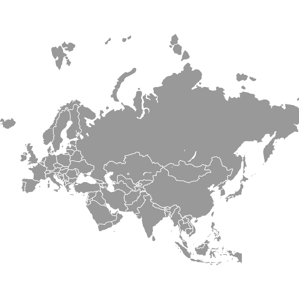
- Borders: Norway, Finland, Estonia, Latvia, Belarus, Ukraine, Georgia, Azerbaijan, Kazakhstan, China, Mongolia and North Korea, plus Poland and Lithuania along the Kaliningrad exclave. Coastlines reach the Arctic and Pacific Oceans and the Baltic, Black, Caspian and Japan seas
- Time zones: 11, running from UTC+2 in Kaliningrad Oblast to UTC+12 in Chukotka and Kamchatka, more than any other contiguous country
- Boundary history: the modern framework dates from the post-Soviet constitution of 1993; Crimea and Sevastopol were added to Russia's list in 2014, and the constitutional total was raised to 89 on 30 September 2022
Interesting Facts
- Sakha (Yakutia) alone covers 3,083,523 km² (1,190,555 sq mi) (2021 dataset), slightly smaller than India at 3,287,263 km² but larger than Argentina.
- Kaliningrad Oblast is the only federal subject with no land link to the rest of the country, located between Poland and Lithuania on the Baltic coast.
- Several autonomous okrugs sit inside another subject: Nenets AO lies within Arkhangelsk Oblast, while Khanty-Mansi and Yamalo-Nenets are administratively tied to Tyumen Oblast.
- Lake Baikal is split between two subjects, Irkutsk Oblast and the Republic of Buryatia. Mount Elbrus, Europe's highest peak, sits in Kabardino-Balkaria, and the Kuril Islands belong to Sakhalin Oblast.
- Atlases of Russia differ for two reasons: some color subjects by type (oblast, republic, krai), and some draw Russia's de facto boundaries rather than the internationally recognized ones.
Free Downloads
Free for personal and commercial use with a credit to Ultimaps. See the license terms for details.
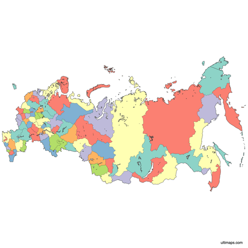 Colored Russia Map with Federal Subjectspng1038 KB
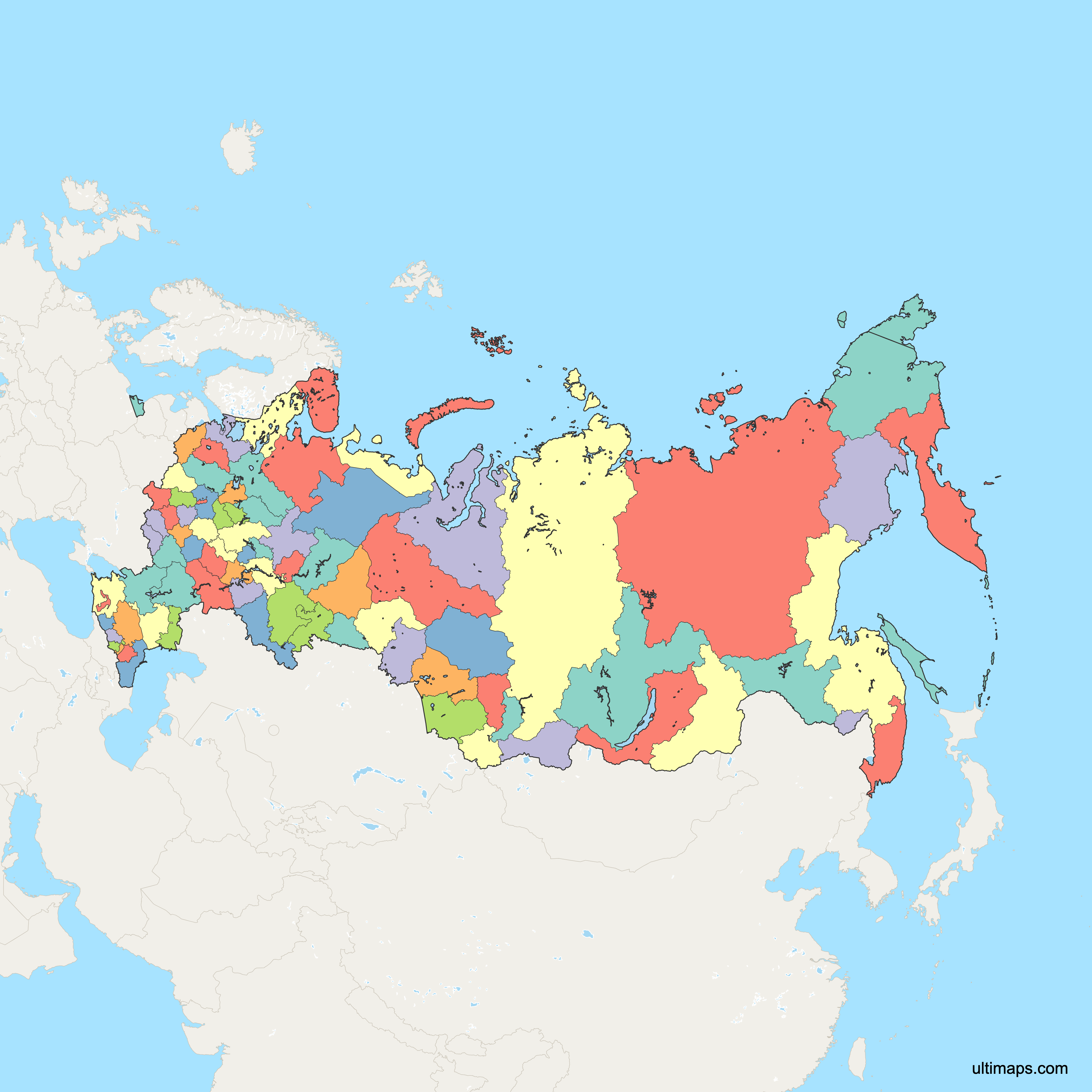
 Political Map of Russia with Federal Subjectspng1613 KB
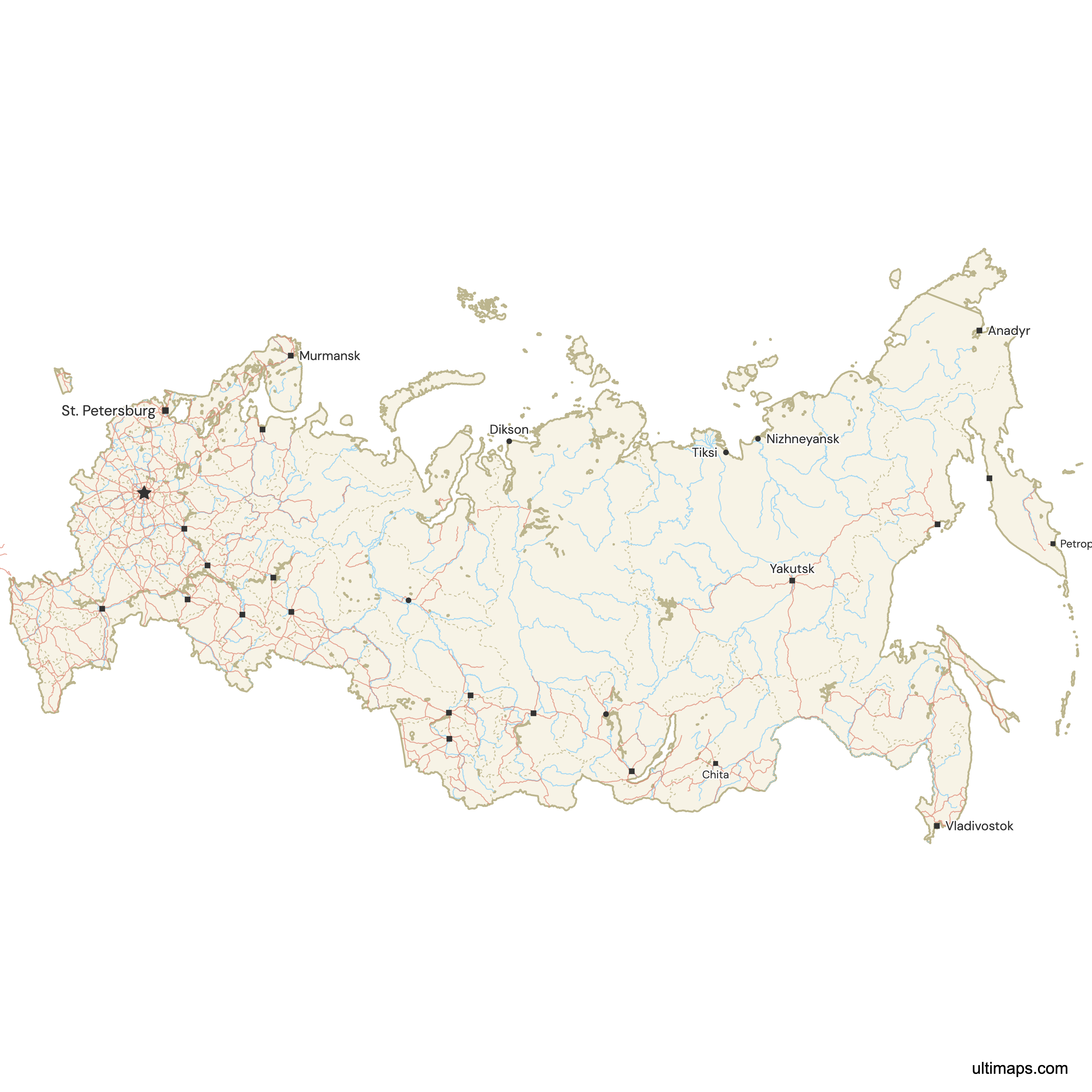
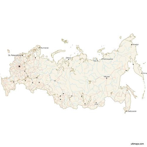 Map of Russia with Cities and Roadspng1706 KB
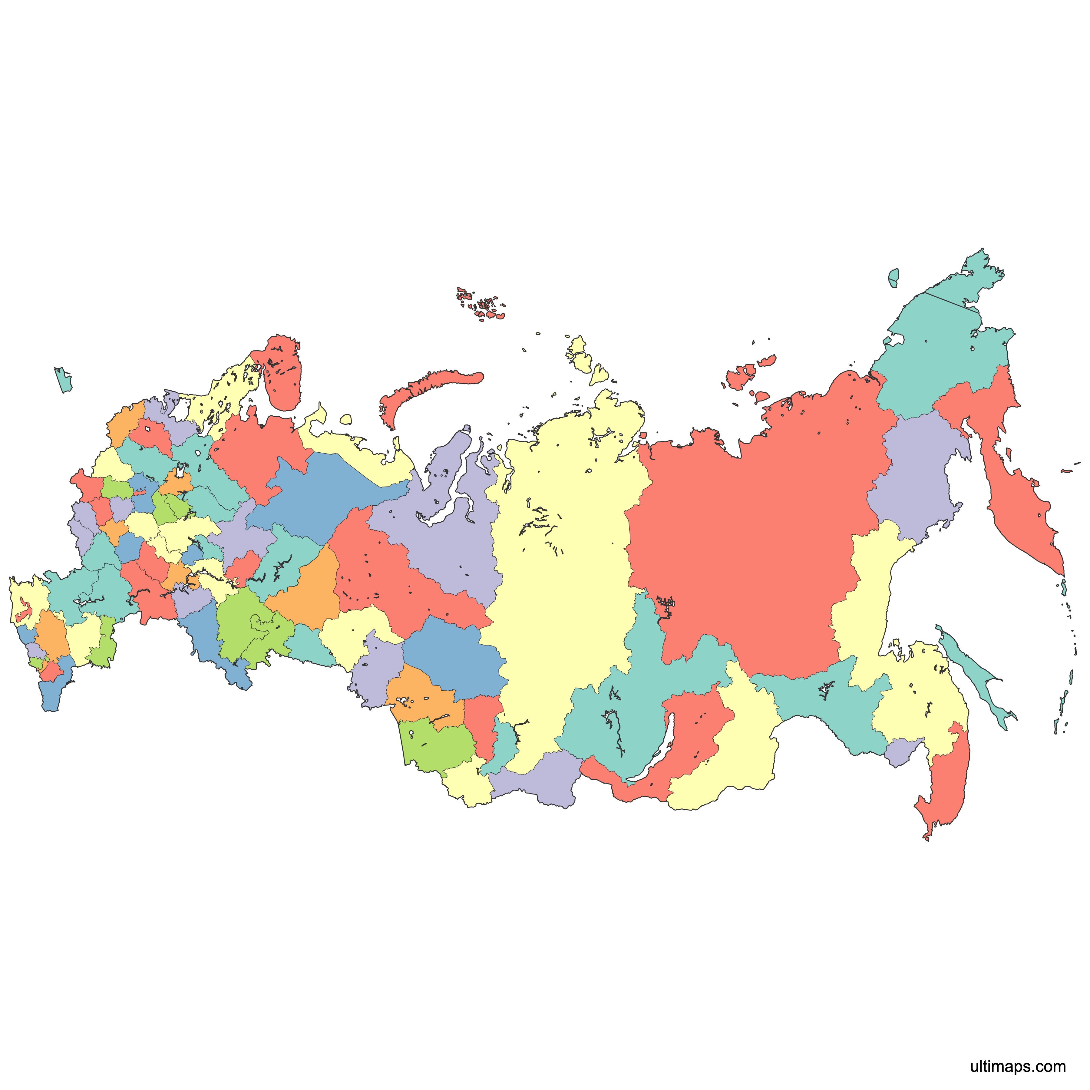
Need it without colors? The blank version of this map comes as a print-ready PDF (A4 and US Letter), a PNG and an editable SVG.
Custom Map Features
This map supports surrounding areas, roads, rivers and cities. New
This map is divided into 83 federal subjects.
Updates
May 14, 2026:
- Added map of Russia Federal Subjects with surrounding countries, cities, roads, rivers and lakes
Frequently Asked Questions
Russia lists 89 federal subjects in its own constitutional framework, a total in force since 30 September 2022 when four Ukrainian territories were added. The internationally recognized figure is 83, the set that existed before Crimea and Sevastopol were annexed in 2014. The map on this page shows the 83 internationally recognized subjects; Crimea, Sevastopol and the 2022 additions are not drawn. The recognized 83 consist of 46 oblasts, 21 republics, 9 krais, 4 autonomous okrugs, 2 federal cities and 1 autonomous oblast, all of which are formally equal under the constitution.
Sakha (Yakutia) is the largest federal subject in Russia at 3,083,523 km² (1,190,555 sq mi) according to the 2021 federal-subject dataset. That makes this single republic slightly smaller than India, which covers 3,287,263 km², and larger than Argentina. Its administrative center is Yakutsk, and most of the territory lies over permafrost in the Russian Far East, giving it one of the lowest population densities in the country. Krasnoyarsk Krai, which covers much of the Yenisei river basin, is the next of the very large subjects shown on the map.
Moscow is the most populated federal subject in Russia with 13,010,112 residents recorded in the 2021 census data. Moscow is unusual in that the city itself is a federal subject, a federal city, rather than a district of a surrounding province. The separate Moscow Oblast surrounds it and adds several million more people. At the other extreme, Nenets Autonomous Okrug counted just 41,434 residents in 2021, more than 300 times fewer than Moscow. Saint Petersburg, the second federal city, follows with 5,601,911 residents in the 2021 census.
Among the 83 internationally recognized federal subjects shown on this map, the smallest is the federal city of Saint Petersburg at roughly 1,439 km² (556 sq mi) in 2021 area figures. Sevastopol, listed by Russia at 864 km² (333 sq mi) since the 2014 annexation, would rank smaller, but its status is disputed internationally and it is not drawn on this map. Outside the federal cities, the Republic of Ingushetia is the smallest subject at 3,628 km² (1,401 sq mi), also from 2021 figures, making it the smallest of Russia's republics.
Maps of Russia disagree because publishers pick different legal baselines. The internationally recognized structure has 83 federal subjects. Adding Crimea and Sevastopol, claimed by Russia in 2014, produces the widely circulated 85, and the four territories claimed on 30 September 2022 raise Russia's own constitutional count to 89. Some datasets use pre-2022 boundaries that include Crimea and Sevastopol but omit the 2022 additions; this page uses the internationally recognized set of 83. When you publish a Russia map, state which baseline you used so readers know which boundaries they are looking at.
Oblasts, krais and republics are all federal subjects of Russia and hold equal constitutional status, but the labels carry different history. Oblasts are the standard provinces and are the most numerous type, with 46 in the internationally recognized set of 83. Krais, of which there are 9, were historically frontier or borderland territories such as Krasnodar Krai and Krasnoyarsk Krai. The 21 republics, including Tatarstan and Bashkortostan, are associated with titular ethnic groups and may adopt their own constitutions and additional official languages. Autonomous okrugs and the single autonomous oblast are also ethnically defined units.
Russia's federal cities are subjects in their own right rather than parts of a surrounding province. Moscow and Saint Petersburg are the two undisputed federal cities: Moscow is the national capital and the most populous subject with 13,010,112 residents in 2021 census data, while Saint Petersburg is the country's main Baltic port and home to the State Hermitage Museum. Sevastopol is treated as a third federal city under Russia's own count from 2014, but its status is disputed internationally, so many reference sources list it separately or leave it out entirely.
Russia spans 11 time zones, running from UTC+2 in Kaliningrad Oblast on the Baltic to UTC+12 in Chukotka Autonomous Okrug and Kamchatka Krai on the Pacific. That is more than any other contiguous country. When it is 9 a.m. in Moscow, it is already 4 p.m. in Vladivostok. Because most federal subjects sit entirely inside one zone, the time-zone bands follow subject boundaries closely, which makes the federal-subject map a practical base layer for scheduling, logistics and broadcast planning across the country.
Ultimaps runs in your browser, so there is nothing to install. Upload a spreadsheet with one value per federal subject and the names are matched to the shapes, then a color scale is applied across the regions. You can also select any subject and set its fill by hand. Palette, border weight, labels and background are all adjustable, and you can place pins on Moscow, Yekaterinburg, Kazan or any other point. Export the finished map to PNG for slides, PDF for print or SVG for editing in a design tool. No account or sign-up is required.