San Marino Map with Castelli
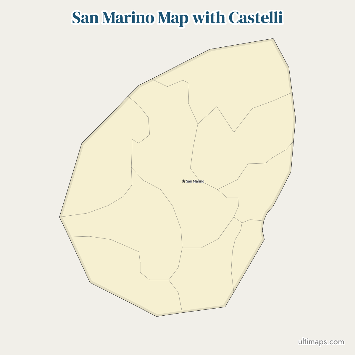
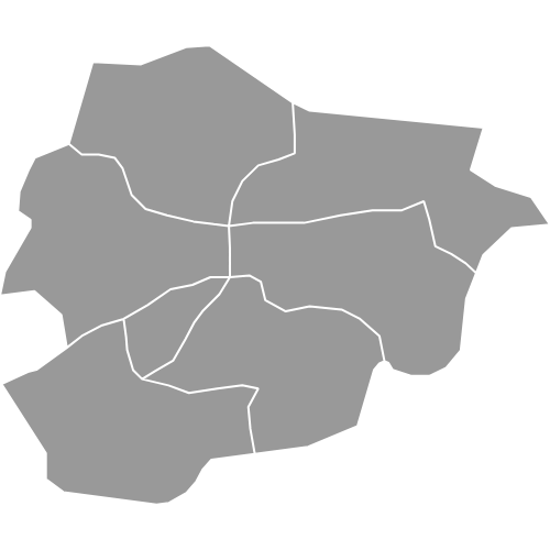
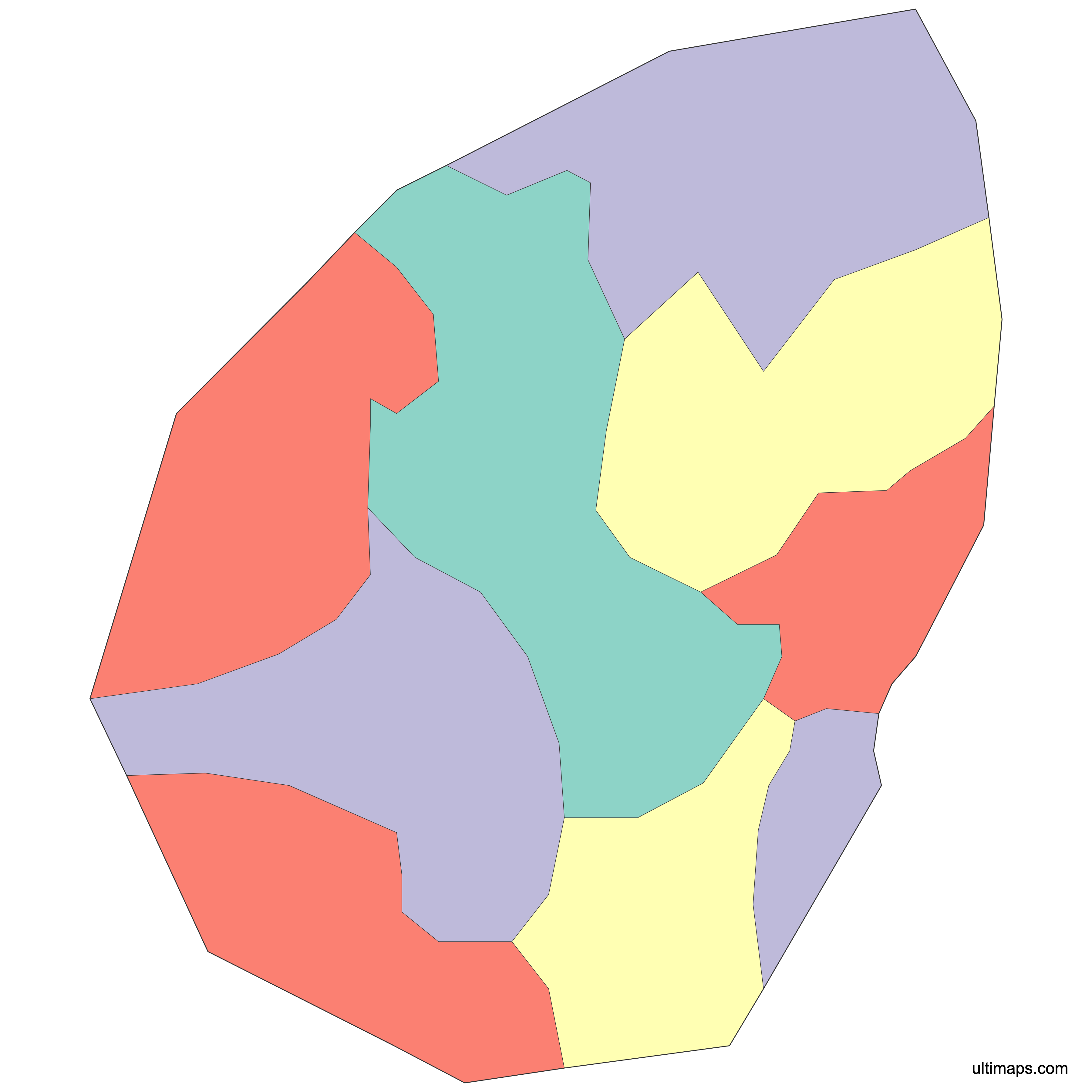
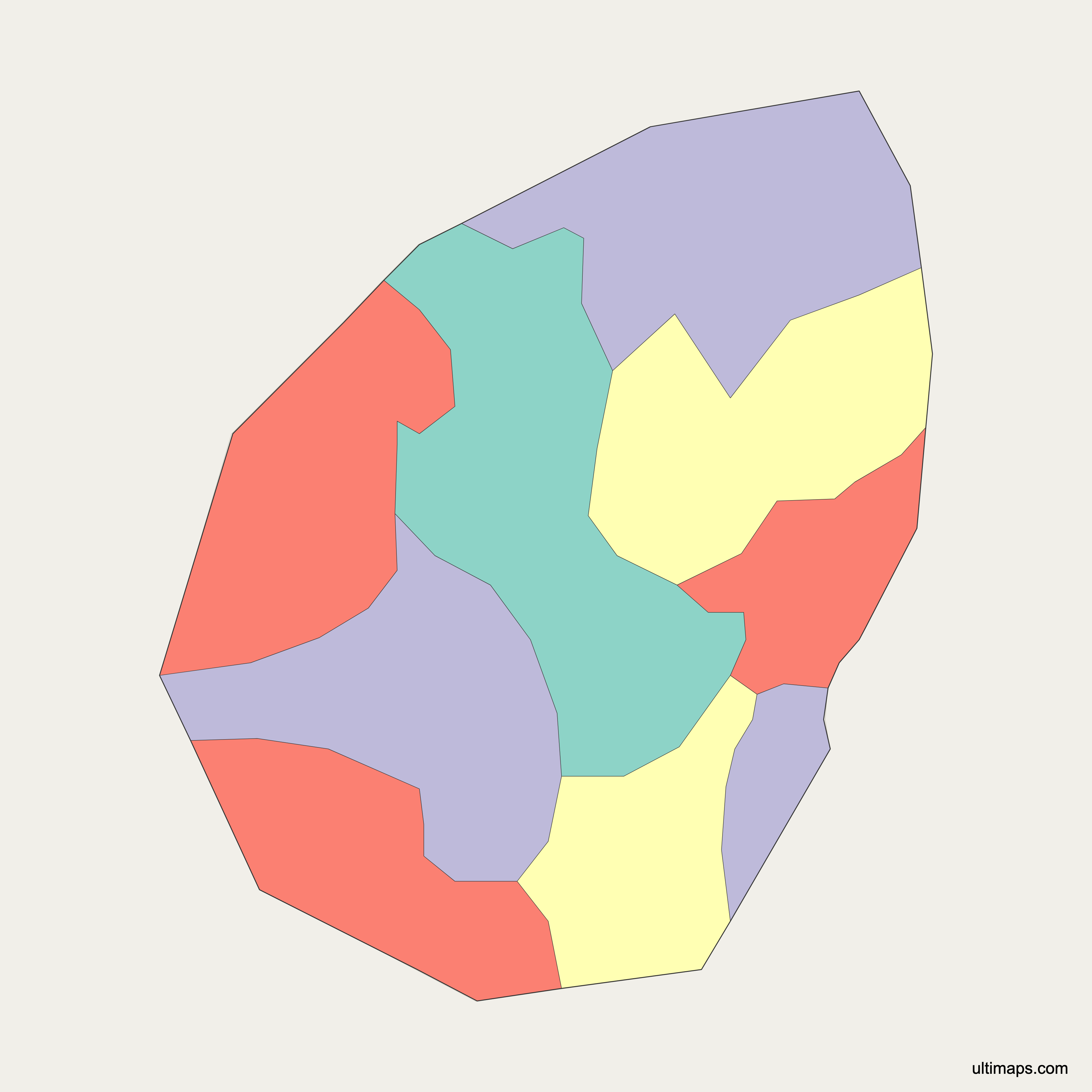
San Marino splits its 61.19 km² (23.63 sq mi) into 9 castelli, the Sammarinese term for a municipality. The boundaries settled in 1463, when the republic reached its final extent; a 1925 law formalized the castelli as administrative units, and each one now elects its own Giunta di Castello for a five-year term. Geography here runs outward from Monte Titano: the City of San Marino holds the summit with the Three Towers and the UNESCO-listed old town, Borgo Maggiore sits at the foot of the mountain, and Serravalle, Acquaviva, Chiesanuova, Domagnano, Faetano, Fiorentino and Montegiardino occupy the hills and lower ground toward the Italian border. This map shows all 9 units. Zoom in to see where one castello ends and the next begins. The reference version is free, and a nine-value dataset upgrades the same outline into a statistics-driven color map.
Interactive San Marino Map with Castelli
List of Castelli (9)
| # | Castello |
|---|---|
| 1 | Acquaviva |
| 2 | Borgo Maggiore |
| 3 | Chiesanuova |
| 4 | Domagnano |
| 5 | Faetano |
| 6 | Fiorentino |
| 7 | Montegiardino |
| 8 | San Marino |
| 9 | Serravalle |
San Marino Castelli: Key Facts
- Total number of castelli: 9, covering the entire republic (61.19 km² / 23.63 sq mi in total)
- Most populous castello: Serravalle, 11,226 residents (January 2025)
- Least populous castello: Montegiardino, 1,004 residents (January 2025)
- Largest castello by area: Serravalle, 10.53 km² (4.07 sq mi), January 2025
- Smallest castello by area: Montegiardino, 3.31 km² (1.28 sq mi), January 2025
- Main urban centers: Serravalle (the productive hub and largest population concentration), Borgo Maggiore (Piazza Grande and the lower cableway station) and the City of San Marino (historic center on Monte Titano)
- Capital: City of San Marino, seat of the republic's institutions
- Borders: San Marino is a landlocked enclave surrounded on every side by Italy, with the Italian regions of Emilia-Romagna and Marche meeting at its frontier. There is no coastline and no other neighbor. See also Italy — Provinces.
- Time zone: Central European Time (UTC+1), moving to Central European Summer Time (UTC+2) from late March to late October, the same schedule Italy follows
- Historical note: the boundaries date to 1463; the castelli were formalized as administrative units by a 1925 law and remain the country's only tier of local government
Interesting Facts
- Serravalle holds more than 11 times the population of Montegiardino (11,226 against 1,004 in January 2025) inside a country you can cross on foot in a morning.
- The castelli roughly follow the republic's old parish boundaries, while the name castello recalls the fortified medieval castles around which each district grew.
- Domagnano, on the main Rimini–San Marino highway in the north, gave its name to the Ostrogothic Treasure of Domagnano, a set of gold ornaments unearthed in 1892–93.
- Acquaviva in the western hills contains the Baldasserona Cliff and is tied to the earliest accounts of the republic's founding.
- The capital is not the biggest place: the City of San Marino holds the Three Towers and the government, while Serravalle holds the people and the factories.
- Faetano, on the eastern edge near the border, is known for artisan ceramics and its ancient clock.
Free Downloads
Free for personal and commercial use with a credit to Ultimaps. See the license terms for details.
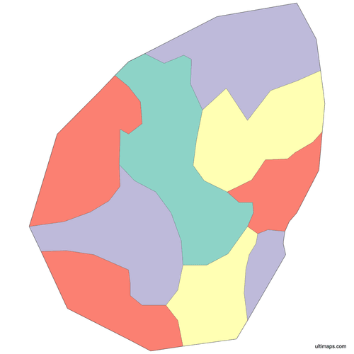 Colored San Marino Map with Castellipng374 KB
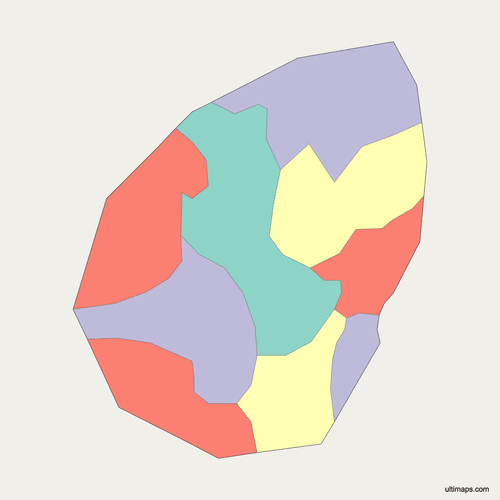 Political Map of San Marino with Castellipng337 KB
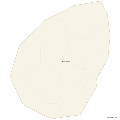 Map of San Marino with Citiespng341 KB
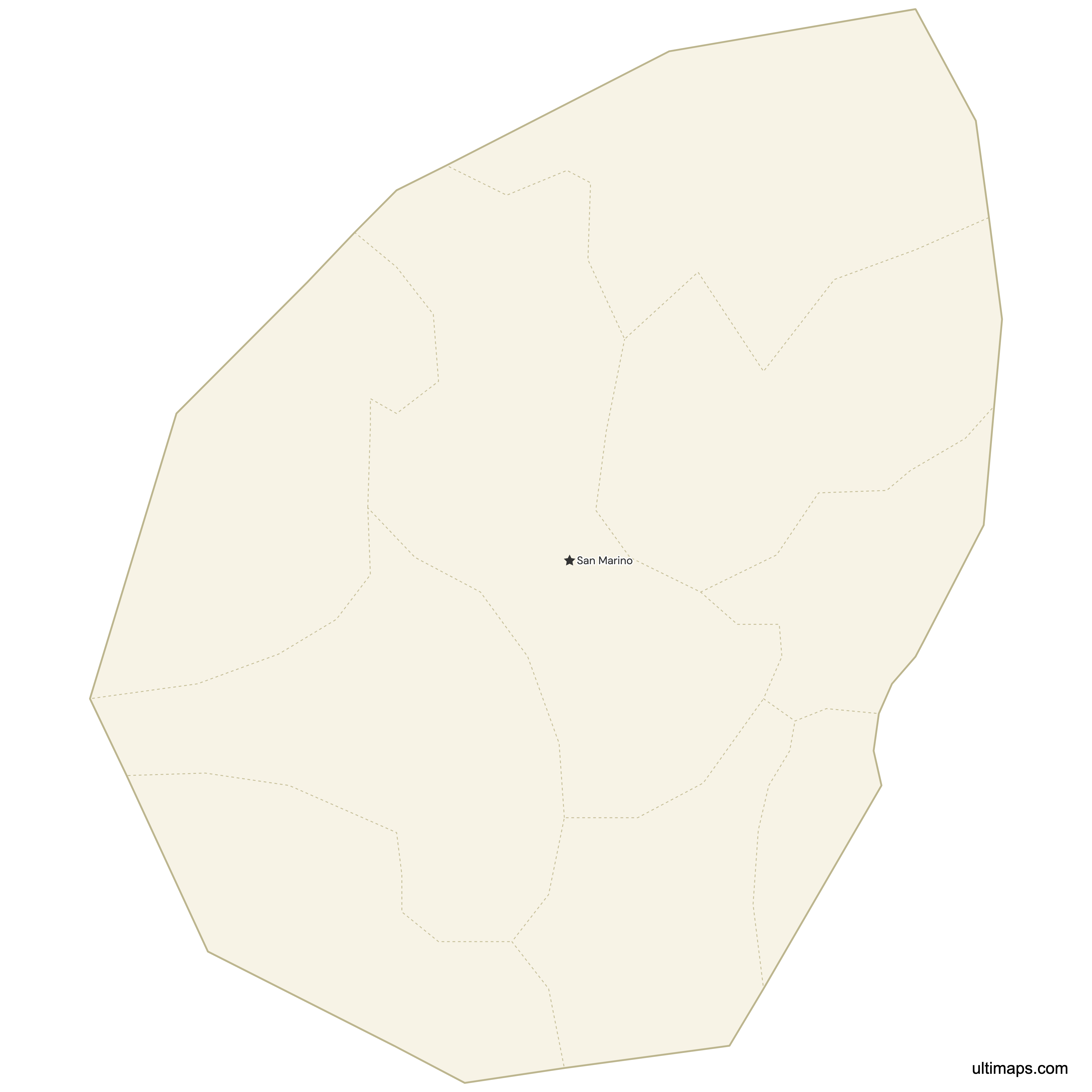
Need it without colors? The blank version of this map comes as a print-ready PDF (A4 and US Letter), a PNG and an editable SVG.
Custom Map Features
This map supports surrounding areas and cities. New
This map is divided into 9 castelli.
Updates
May 14, 2026:
- Added map of San Marino Castelli with surrounding countries and cities
Frequently Asked Questions
San Marino has 9 castelli, and all 9 are drawn on this map. Castello is the Sammarinese word for a municipality, and the nine cover the whole republic: the City of San Marino, Borgo Maggiore, Serravalle, Acquaviva, Chiesanuova, Domagnano, Faetano, Fiorentino and Montegiardino. Their combined area is 61.19 km² (23.63 sq mi). Each one is run by a Giunta di Castello elected every five years, the internal boundaries have been stable since 1463, and a 1925 law gave the castelli their modern administrative form.
Serravalle is the largest castello in San Marino at 10.53 km² (4.07 sq mi), based on January 2025 figures. That is about a sixth of the republic's total 61.19 km² (23.63 sq mi). Serravalle lies north of Monte Titano on flatter ground, which is where most of the country's industry and commerce sits. It is also first by population, with 11,226 residents in January 2025. For comparison, the smallest castello, Montegiardino, measures 3.31 km² (1.28 sq mi), so Serravalle is roughly three times larger.
Serravalle is the most populous castello in San Marino, with 11,226 residents recorded in January 2025. It is the republic's main productive hub and holds the largest concentration of population and workplaces, sitting on the lower, flatter northern ground rather than on Monte Titano. The capital, the City of San Marino, is smaller in population despite housing the government, the UNESCO-listed old town and the Three Towers. At the other end of the scale, Montegiardino counted 1,004 residents in January 2025, fewer than a tenth of Serravalle's total.
Montegiardino is the smallest castello in San Marino on both measures. It covers 3.31 km² (1.28 sq mi) and had 1,004 residents in January 2025, making it the least populous of the nine as well as the smallest by area. It sits in the southeast of the republic, in the rural belt that also includes Fiorentino with its medieval fortress. Even so, Montegiardino has the same institutional standing as Serravalle: it elects a Giunta di Castello for a five-year term, exactly like every other castello.
The capital of San Marino is the City of San Marino, which is both a castello in its own right and the seat of the republic's institutions. It occupies the summit of Monte Titano and contains the Three Towers, Guaita, Cesta and Montale, along with the historic center listed by UNESCO. Below it, Borgo Maggiore holds Piazza Grande and the lower station of the cableway that links the two. The capital is not the largest castello by population: that is Serravalle, with 11,226 residents in January 2025.
In San Marino, castello is the official name for a first-level administrative division, and it works the same way a municipality does elsewhere. English sources usually translate it as "municipality" or "township", but the Sammarinese term is distinctive: it recalls the fortified medieval castles around which the districts grew, while the boundaries roughly follow the republic's old parishes. The word does not mean each one is a castle, although fortifications do stand in several, including the Three Towers in the City of San Marino and the medieval fortress at Fiorentino. Every castello elects a Giunta di Castello every five years.
San Marino's internal boundaries date to 1463, the year of the republic's last territorial expansion, after which the lines settled into their current form. As administrative units the castelli are younger: a 1925 law formalized the nine districts, councils were added in 1945, and direct election of the Giunte di Castello followed in 1979. Unlike most European countries, San Marino has never gone through a modern municipal merger reform, so the count has stayed at 9 across the whole 61.19 km² (23.63 sq mi) national territory.
Ultimaps handles San Marino maps entirely on the site, in a browser tab; using the free tier involves no account at all. Nine shapes means the data route is short: a nine-line table, castello names in one column and figures in the next, is all the input a shaded map needs. Hand-coloring is available as well — clicking Faetano or Domagnano opens a fill picker for that castello only. You choose the color ramp, while background, label wording, typeface and boundary weight are set separately. Point markers accept a place or a coordinate pair, so you can flag the Three Towers or Borgo Maggiore, with a caption if useful. For output, choose between PNG, PDF and SVG.