Nordic Countries Map
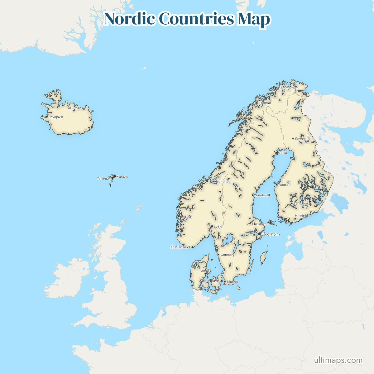
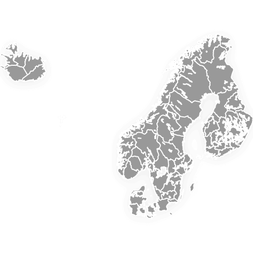
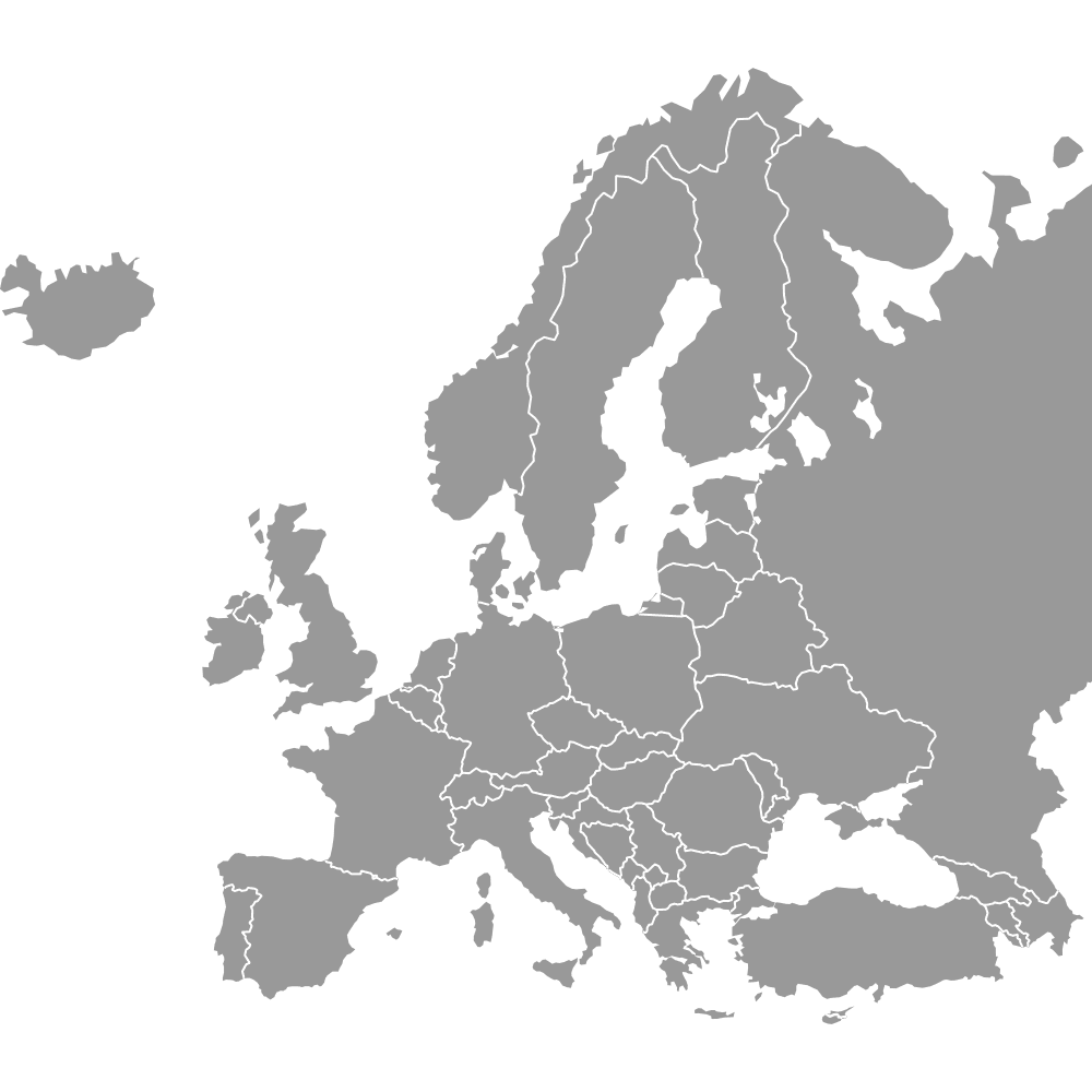
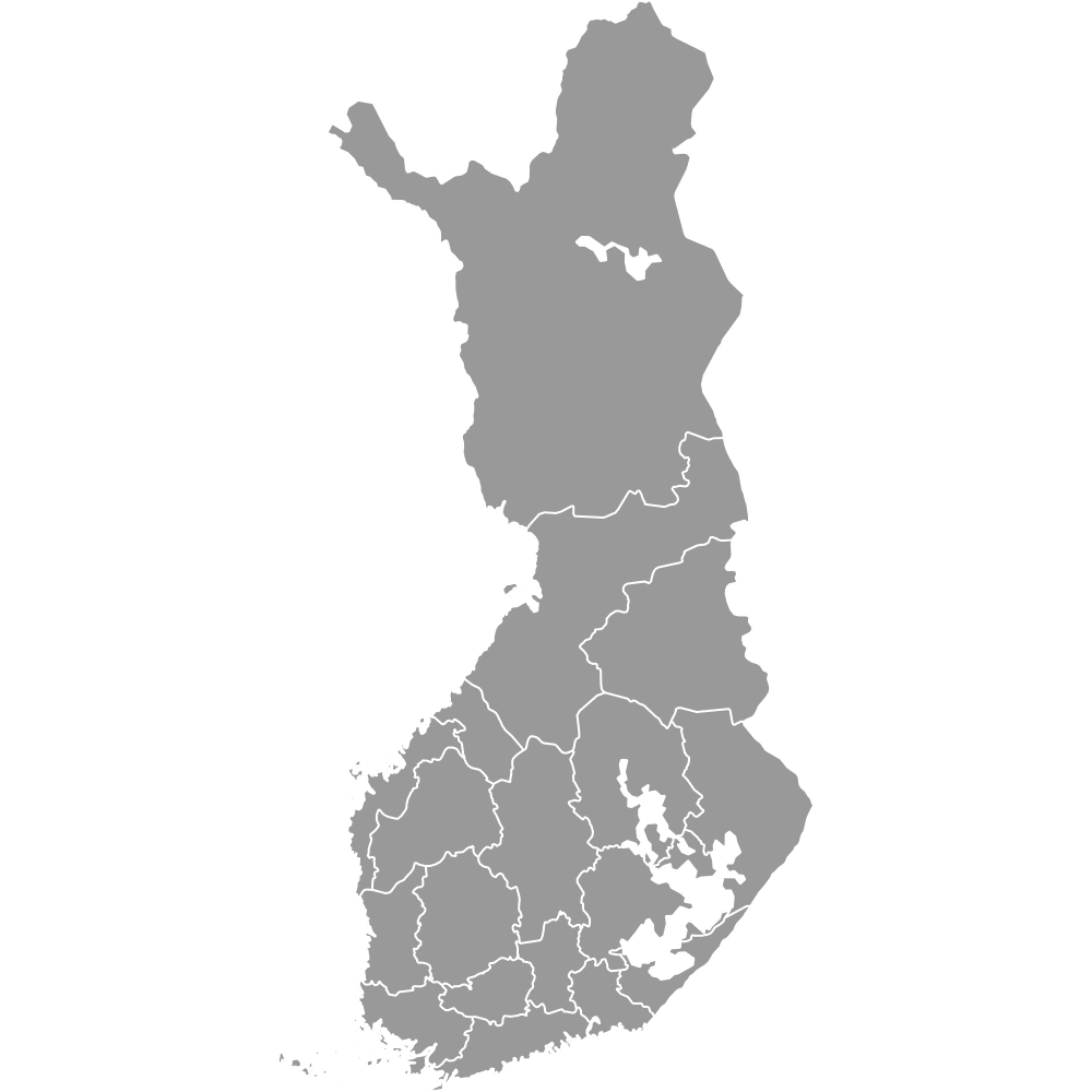
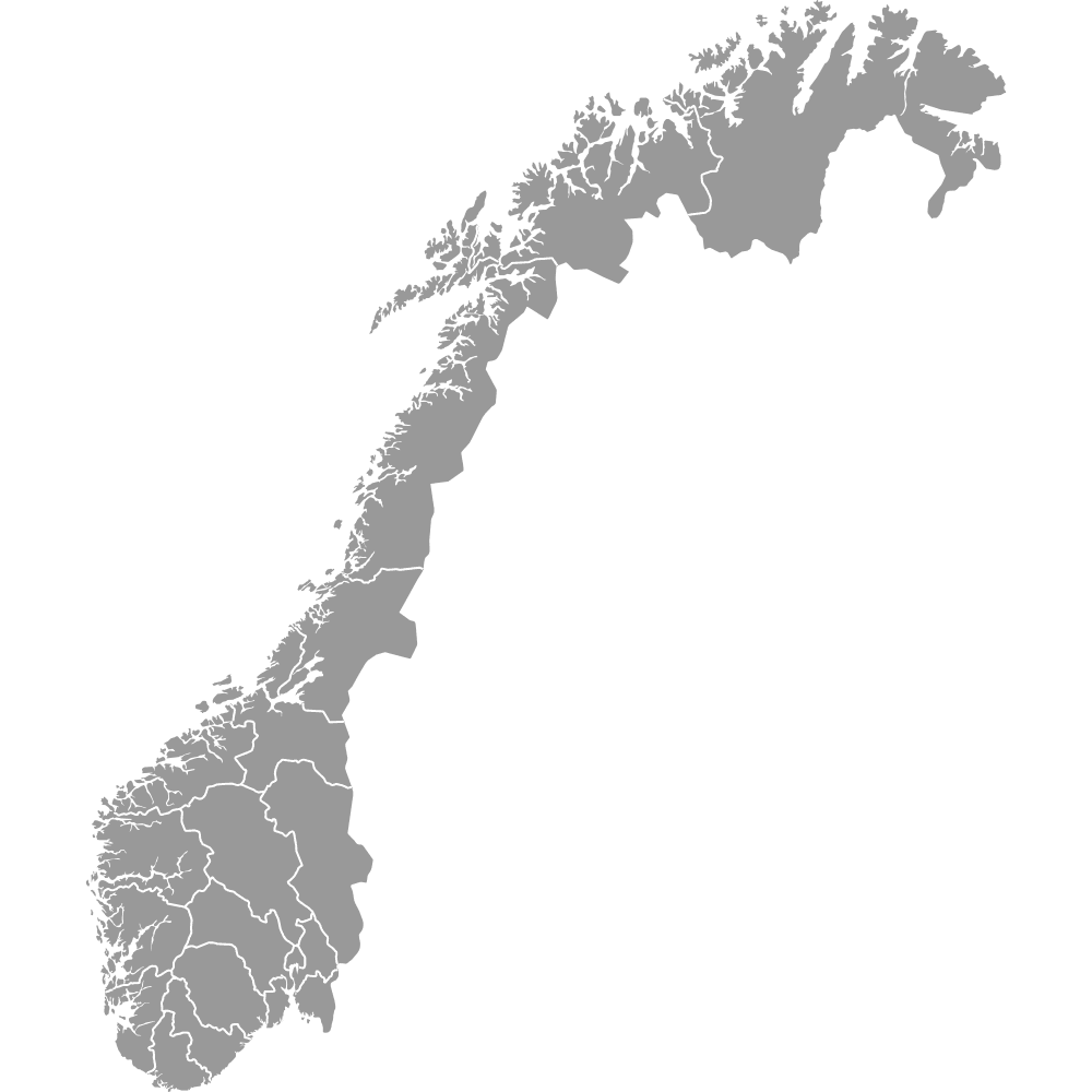
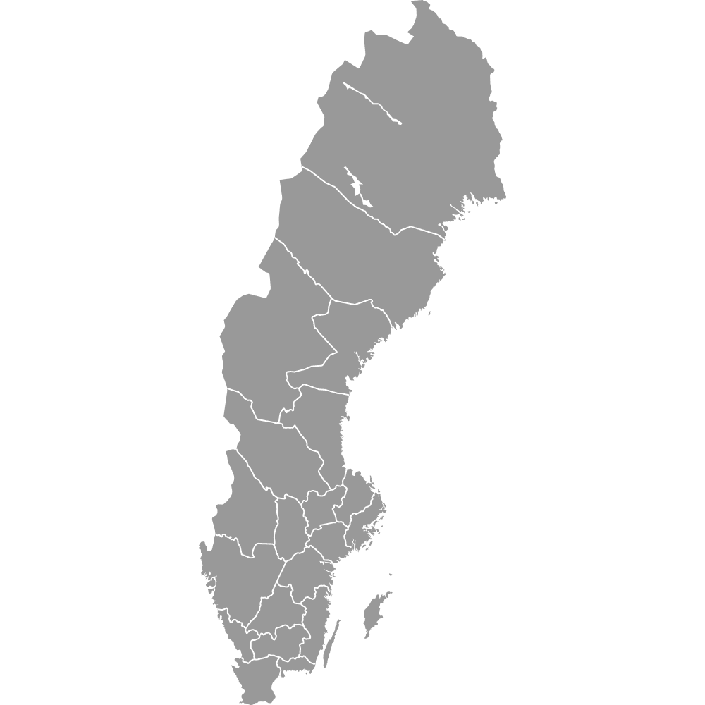
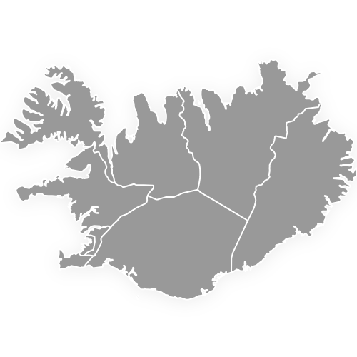
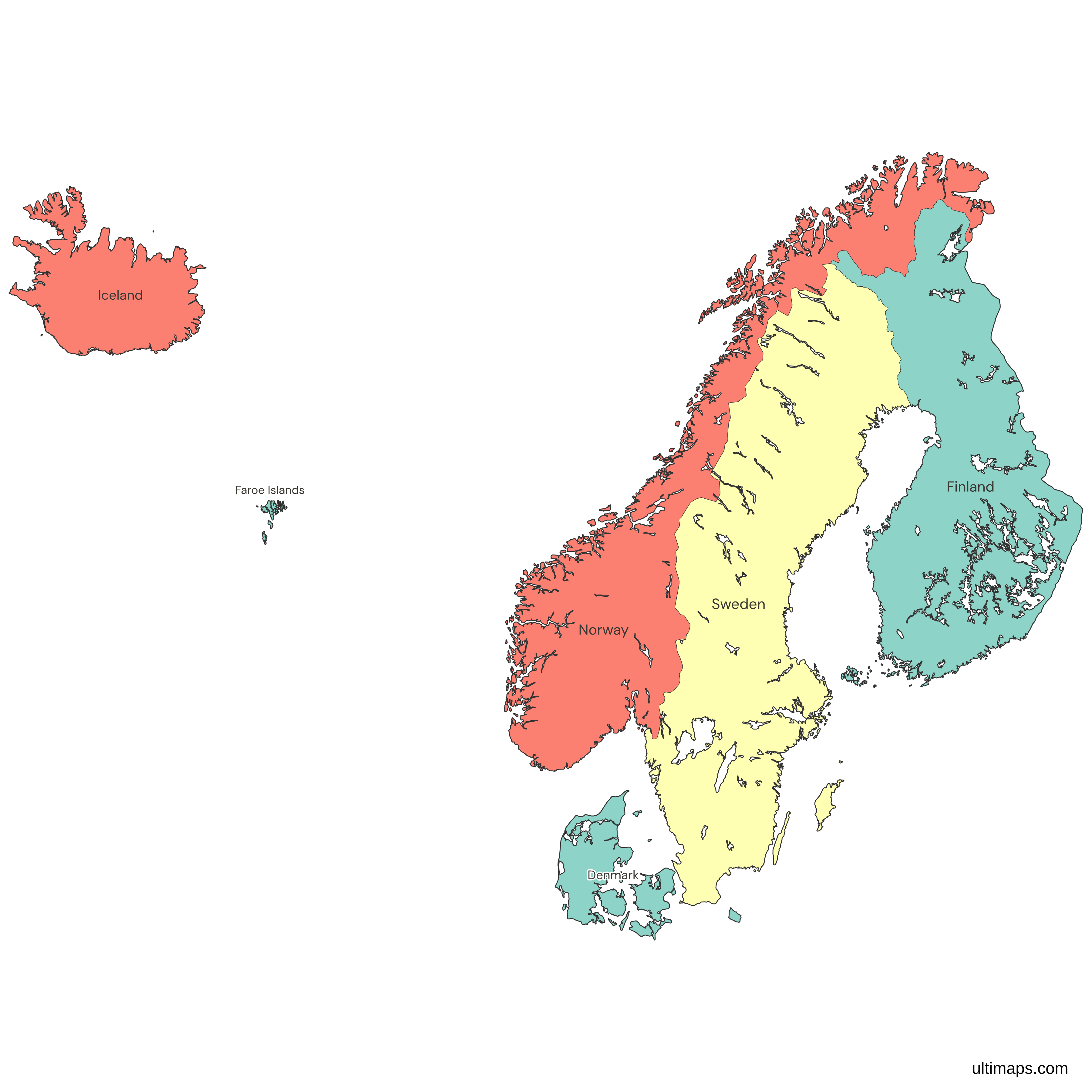
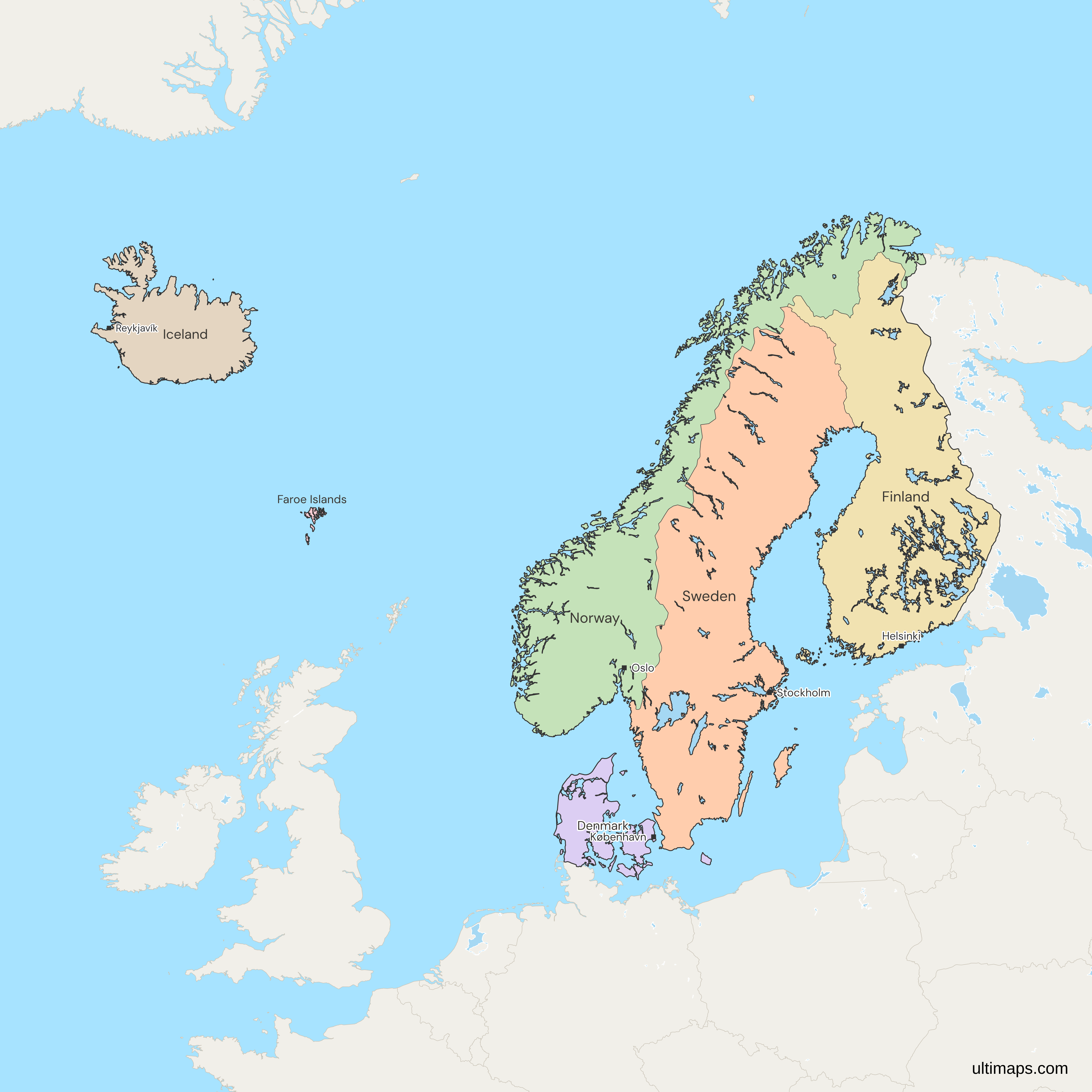
This map of the Nordic countries shows all 6 units, the five countries Denmark, Finland, Iceland, Norway and Sweden, and the Faroe Islands. It follows the Nordic Council, founded in 1952, which also seats Greenland and Åland. Åland is drawn inside Finland, and Greenland is outside the frame. The 6 units have 28.3 million people together (World Bank, 2025). Estonia, Latvia and Lithuania, which are not Nordic, are drawn in gray with the other surrounding countries.
Open the map in the free Ultimaps editor to make your own custom map of the Nordic countries. You can color the countries by your data, add pins and labels, and share or embed the finished map.
Interactive Nordic Countries Map
List of Countries (6)
| # | Country | Capital | Population (2025) | GDP per capita (US$, 2024) | Land area (km², 2024) |
|---|---|---|---|---|---|
| 1 | Denmark | Copenhagen | 6,009,169 | 71,026 | 40,000 |
| 2 | Faroe Islands | Tórshavn | 54,900 | 74,175 | 1370 |
| 3 | Finland | Helsinki | 5,646,436 | 53,156 | 304,000 |
| 4 | Iceland | Reykjavík | 392,404 | 85,863 | 100,830 |
| 5 | Norway | Oslo | 5,610,870 | 89,889 | 364,270 |
| 6 | Sweden | Stockholm | 10,596,620 | 57,223 | 407,270 |
Data sources:
- Capital: Ultimaps, compiled from national constitutions and statutes (cross-checked against Natural Earth). License: facts compiled by Ultimaps, CC BY 4.0.
- Population: World Bank, World Development Indicators (SP.POP.TOTL). License: CC BY 4.0.
- GDP per capita: World Bank, World Development Indicators (NY.GDP.PCAP.CD). License: CC BY 4.0.
- Land area: World Bank, World Development Indicators (AG.LND.TOTL.K2). License: CC BY 4.0.
Nordic Countries: Key Facts
- Members: Denmark, Finland, Iceland, Norway and Sweden, plus the Faroe Islands. The map has 6 regions, and each one takes its own value.
- Definition: The Nordic Council's Nordic Region has 8 members. Six of them are units here, and the other two, Greenland and Åland, have no unit of their own.
- Edges: Estonia, Latvia and Lithuania work with the Nordic countries through Nordic-Baltic cooperation but are not Nordic, so they are drawn in gray. For Denmark, Norway and Sweden alone, use the Scandinavia map.
- Capitals: Stockholm (Sweden), Helsinki (Finland), Copenhagen (Denmark), Oslo (Norway), Reykjavík (Iceland) and Tórshavn (Faroe Islands).
- Largest and smallest by land area: At 407,270 km² (World Bank, 2024), Sweden is the largest, ahead of Norway and Finland. Iceland is fourth at 100,830 km², and the Faroe Islands are the smallest at 1,370 km² (World Bank, 2024).
- Population: Sweden has 10,596,620 people, Denmark 6,009,169, Finland 5,646,436, Norway 5,610,870, Iceland 392,404 and the Faroe Islands 54,900 (World Bank, 2025). The 6 units total 28,310,399.
- Income: Norway has the highest GDP per capita at 89,889 US$, followed by Iceland at 85,863 US$ and the Faroe Islands at 74,175 US$. Finland has the lowest at 53,156 US$ (World Bank, 2024).
- Borders: Germany is the only country that borders Denmark by land. Sweden shares a border with Norway and Finland, and Norway and Finland also border each other. Russia borders Norway and Finland, and no other unit. Iceland and the Faroe Islands have no land border.
- Map decisions: The map draws mainland Norway, since Svalbard and Jan Mayen are outside the frame. Denmark is Denmark proper, without Greenland or the Faroe Islands. Finland includes Åland, and Greenland is outside the frame.
Interesting Facts
- Iceland's population grew from 330,815 in 2015 to 392,404 in 2025 (World Bank), about 19 percent in ten years.
- The Faroe Islands have a GDP per capita above Denmark's (74,175 US$ against 71,026 US$ in 2024, World Bank), though the Faroes are part of the Kingdom of Denmark.
Free Downloads
Free for personal and commercial use with a credit to Ultimaps. See the license terms for details.
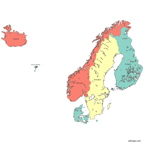 Colored Nordic Countries Mappng816 KB
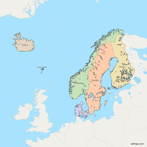 Political Map of the Nordics with Countriespng1273 KB
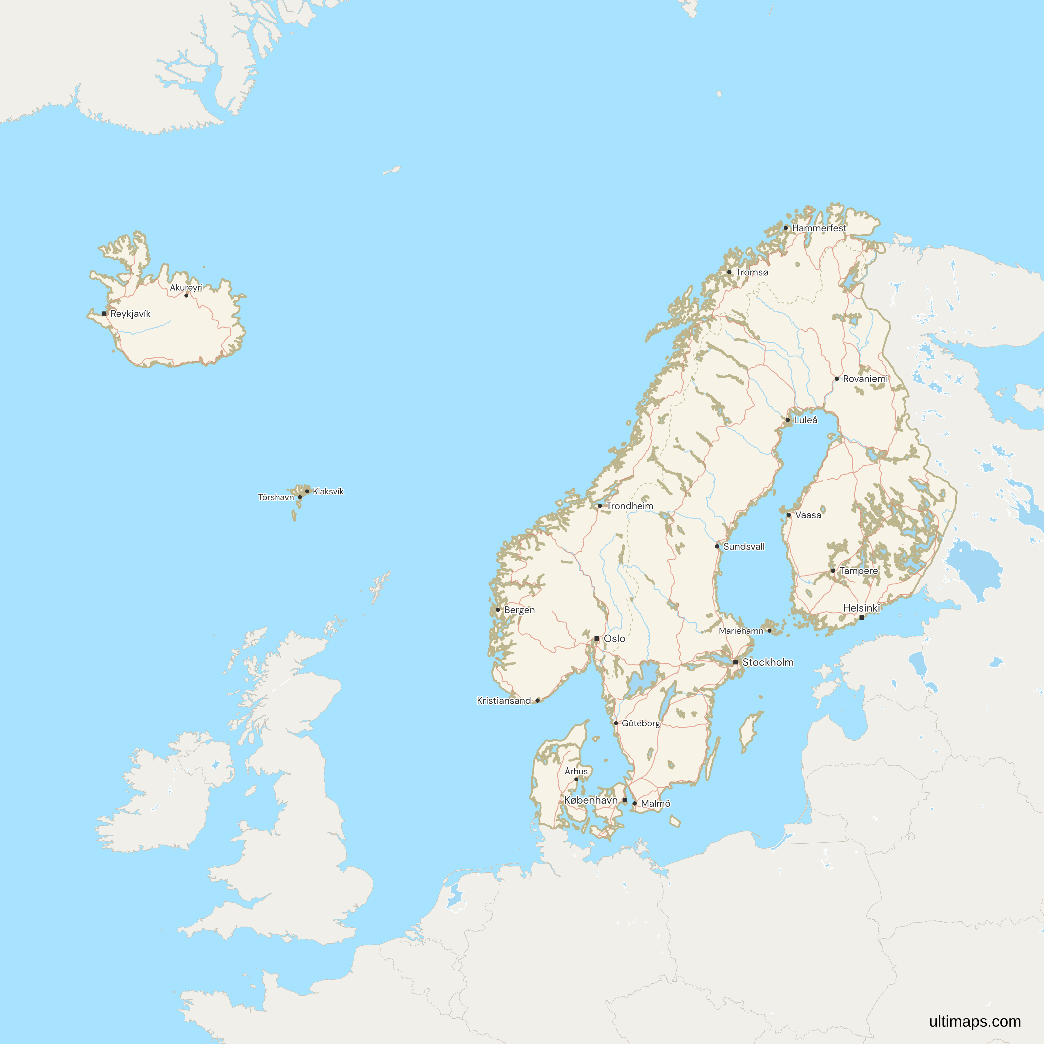
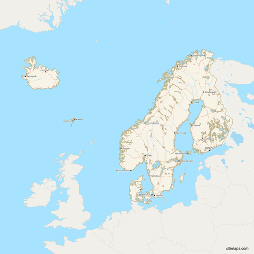 Map of the Nordics with Cities and Roadspng1346 KB
Need it without colors? The blank version of this map comes as a print-ready PDF (A4 and US Letter), a PNG and an editable SVG.
Custom Map Features
This map supports labels.
This map supports surrounding areas, roads, rivers and cities. New
This map is divided into 6 countries.
Updates
Nov 5, 2026:
- Added map of the Nordic countries (Denmark, Finland, Iceland, Norway, Sweden and the Faroe Islands)
Frequently Asked Questions
The Nordic countries are Denmark, Finland, Iceland, Norway and Sweden. The Nordic Council adds the Faroe Islands, Greenland and Åland to form the Nordic Region, and those three govern much of their own affairs. This map draws six units, the five countries and the Faroe Islands. The capitals are Copenhagen, Helsinki, Reykjavík, Oslo and Stockholm, with Tórshavn for the Faroe Islands. Sweden is the most populous at 10,596,620 people (World Bank, 2025), and Iceland is the least populous of the five at 392,404.
Yes. Finland and Iceland are both Nordic countries and full members of the Nordic Council. They are not Scandinavian in the strict sense, which covers only Denmark, Norway and Sweden. Finland has 5,646,436 people and Iceland 392,404 (World Bank, 2025), and each is a unit on this map. All of them lie in northern Europe, which the local languages call Norden. Norway and Finland share a land border with Russia, while Iceland and the Faroe Islands sit out in the North Atlantic with no land border at all.
Greenland is self-governing within the Kingdom of Denmark under the Self-Government Act of 21 June 2009, and it takes part in the Nordic Council. The island is outside this map's frame and has no value of its own. For Greenland itself, use the Greenland municipalities map, which draws its municipalities. The Faroe Islands are handled differently, because they are a unit of their own here, so Denmark and the Faroe Islands each take a separate value when you color the countries by data.
This map draws Finland and Iceland as units of their own beside Denmark, Norway and Sweden, because it follows the Nordic list. Scandinavian in the strict sense covers only Denmark, Norway and Sweden, so a Finn or an Icelander is Nordic but not Scandinavian. English speakers often stretch Scandinavian over the whole region. When you want the strict three and nothing else, use the Scandinavia map, which colors only those three countries, shows Finland in gray and leaves Iceland outside the frame.
The Faroe Islands are a self-governing country under Danish sovereignty, not a sovereign state. Their own parliament, the Løgting, and their government sit in Tórshavn, while Denmark keeps foreign, security and defense policy. The islands are not a member of the United Nations. This map draws them as a unit of their own, so you can give them a value beside the five states. They have 54,900 people (World Bank, 2025) on 1,370 km² of land (World Bank, 2024), with a GDP per capita of 74,175 US$ (World Bank, 2024).
Estonia is not a Nordic country in the Nordic Council's sense. The Council's members are Denmark, Finland, Iceland, Norway, Sweden, the Faroe Islands, Greenland and Åland. Estonia, Latvia and Lithuania are not among them, so all three are drawn in gray on this map. They work with the five countries through the Nordic-Baltic Eight (NB8) format. Estonia lies across the Gulf of Finland from Finland, and Estonian and Finnish are related Finnic languages, but a shared sea and related languages do not make Estonia a Council member.
There are 5 Nordic countries: Denmark, Finland, Iceland, Norway and Sweden. This map has 6 units because it adds the Faroe Islands, which have their own government and parliament in Tórshavn. The Nordic Region of the Nordic Council has 8 members, since Greenland and Åland join the six, but neither is a separate unit here, so the colored units stay at 6. For the 69 regions and counties of the five countries and the Faroe Islands, use the Nordic regions map.
The 6 units on this map have 28,310,399 people together (World Bank, 2025). Sweden alone has about 37 percent of them, and the four largest countries, Sweden, Denmark, Finland and Norway, make up about 98 percent. The Nordic Region figure published by Nordic co-operation (norden.org), which also counts Greenland, is 27.8 million for an earlier year, so the two totals use different bases and years. Iceland and the Faroe Islands together add under 450,000 people to the total, a small share beside the four largest countries.
Open the map in the free Ultimaps editor, which needs no account. To color the countries by hand, click each one. To color them by data, upload a table with one row per unit and its value, and give the Faroe Islands their own row. Add pins and labels, then share the finished map by link or embed it on a website. A free export is a standard PNG with a small Ultimaps credit. High-resolution PNG, SVG and PDF export are Pro features.