Nordic Countries Map with Regions and Counties
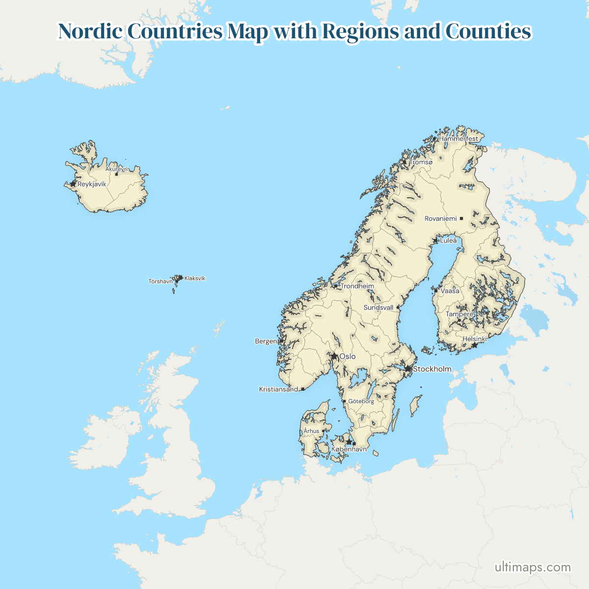
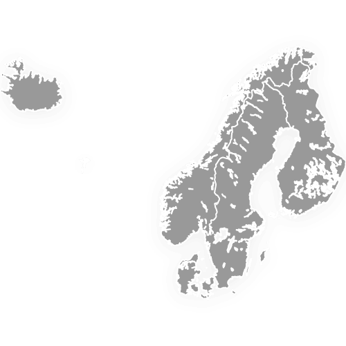
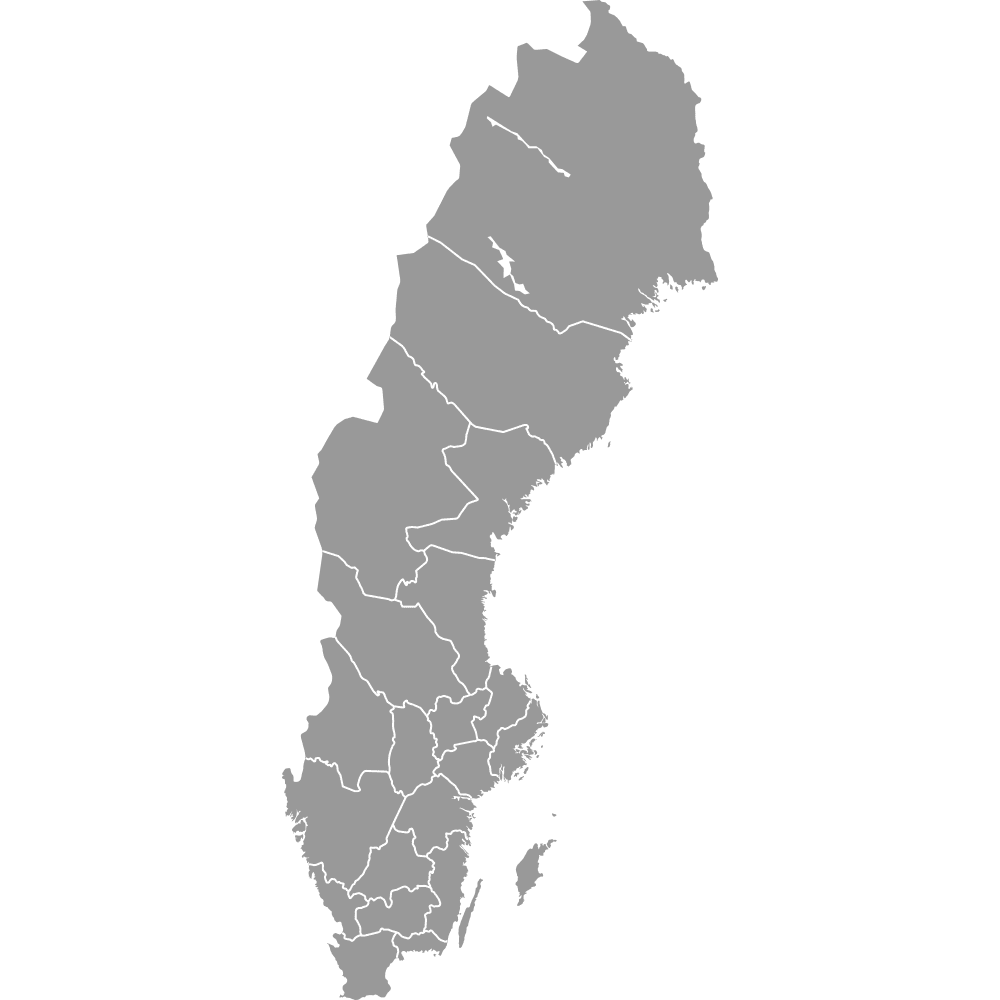
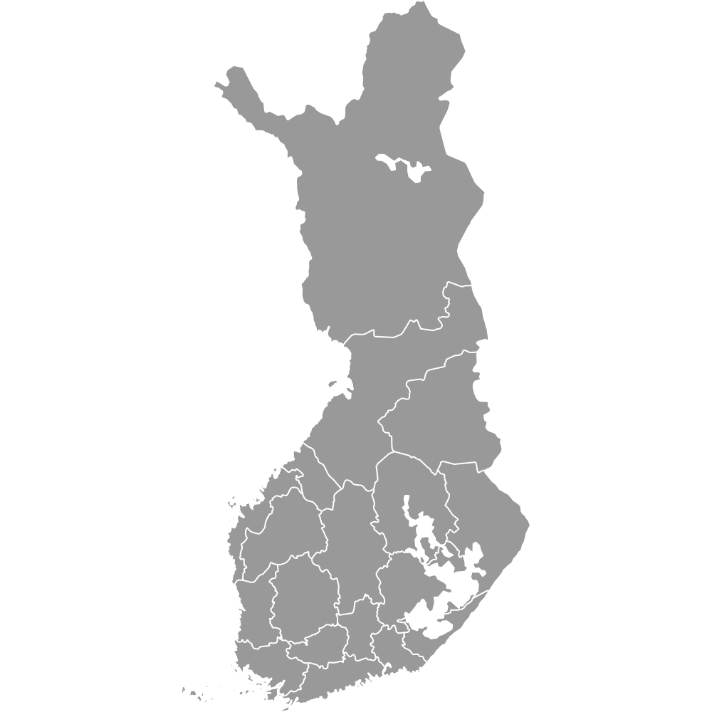
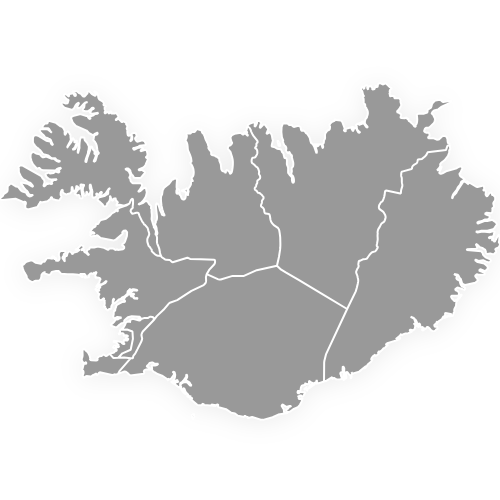
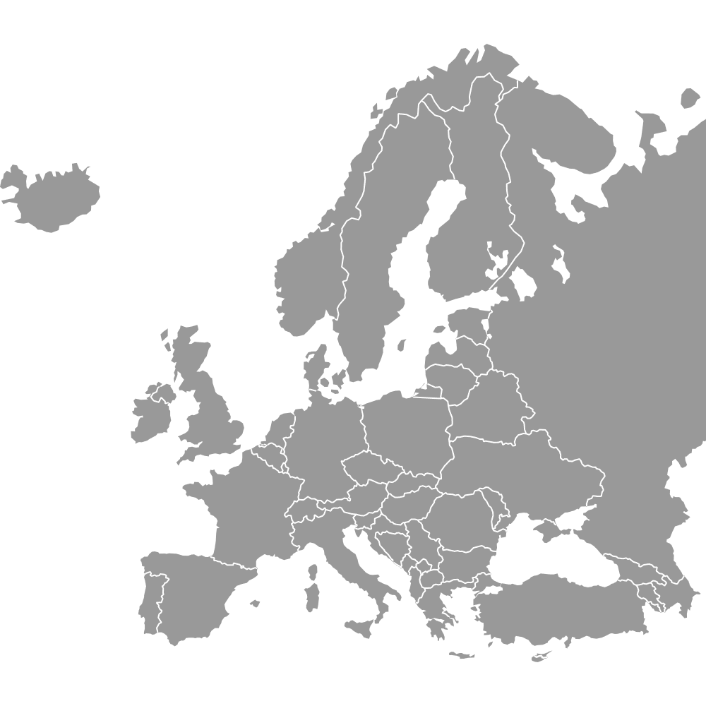
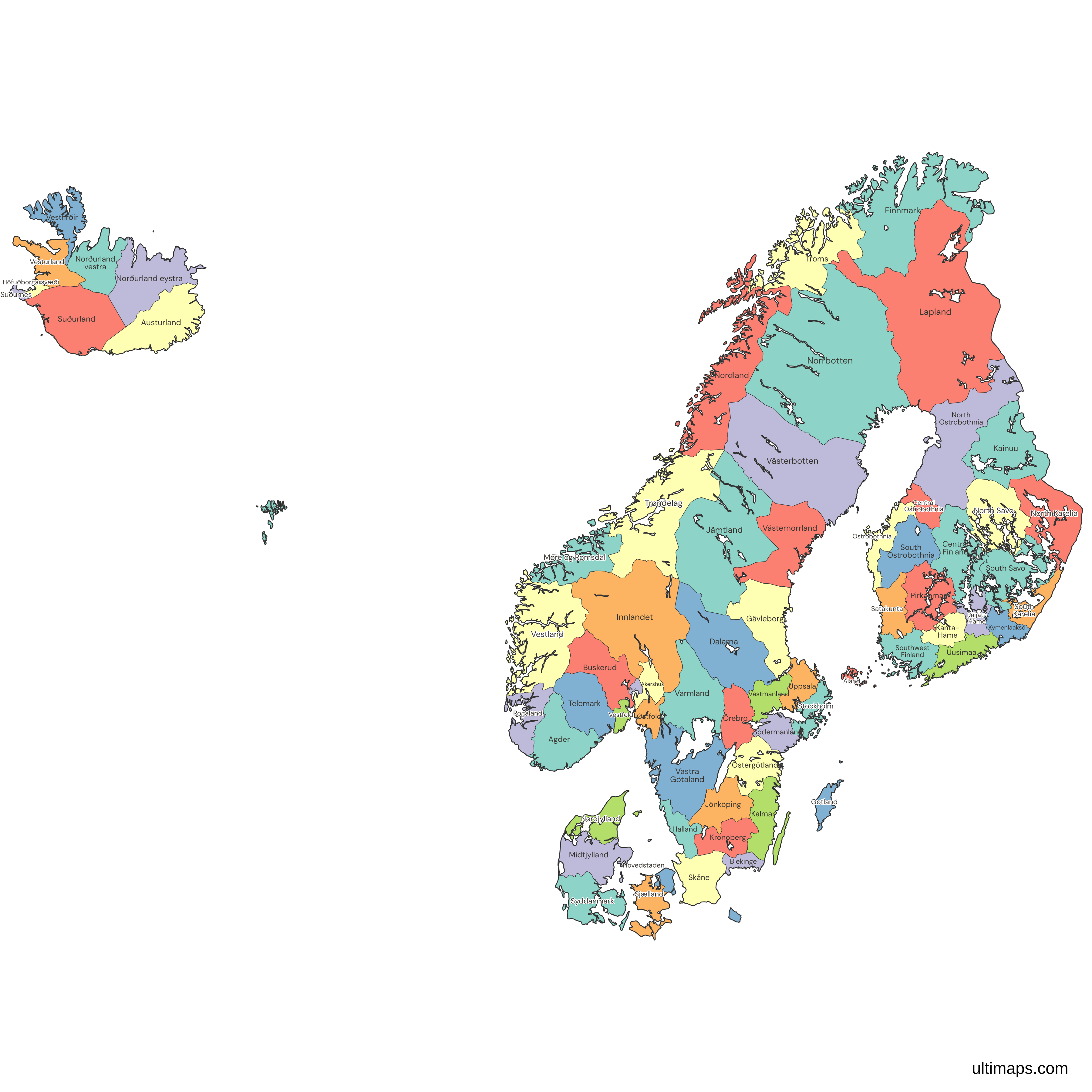
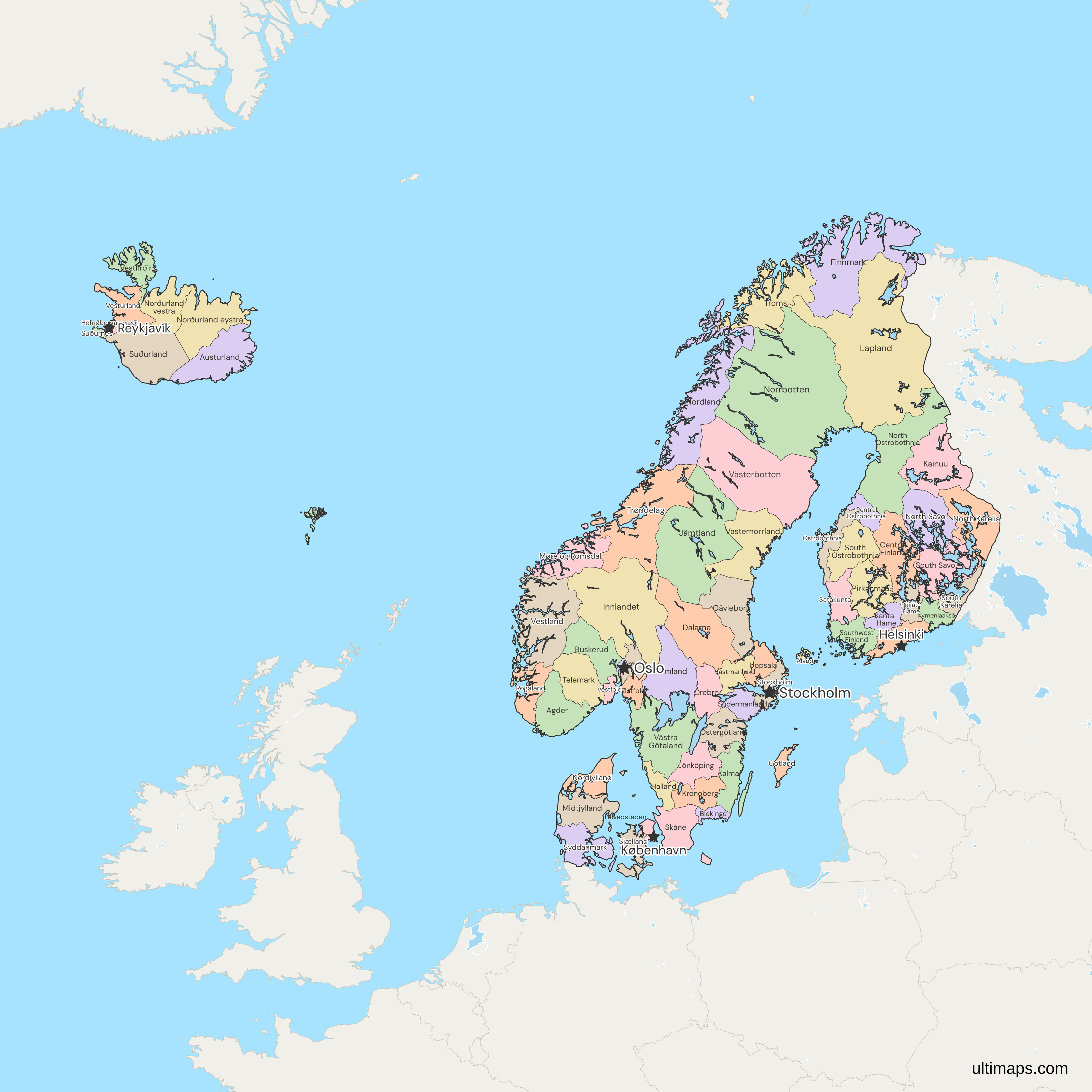
This map of the Nordic countries shows all 69 regions and counties: Denmark's 5 regions, Norway's 15 counties, Sweden's 21 counties, Finland's 19 regions, Iceland's 8 regions and the Faroe Islands as one unit. The 69 hold 28.4 million people (national statistics offices, 31 December 2025 to 1 January 2026), and Stockholm alone has 2.5 million (Statistics Sweden, 31 December 2025). The local names are regioner, fylker, län, maakunnat and landshlutar. Denmark's regions are much larger than the Swedish, Finnish and Norwegian units, so compare by rates, and Iceland's 8 regions are not NUTS units. For the six countries as whole units, use the Nordic countries map.
Color the 69 units by your own figures in the free Ultimaps editor, then share by link or embed.
Interactive Nordic Countries Map with Regions and Counties
List of Regions/Counties (69)
| # | Region/County | Capital | Population (2026) | Land area (km²) |
|---|---|---|---|---|
| 1 | Agder | Kristiansand | 323,930 | 14,980.36 |
| 2 | Akershus | Oslo | 749,207 | 5,472.96 |
| 3 | Åland | Mariehamn | 30,836 | 1,555.76 |
| 4 | Austurland | — | 11,211 | — |
| 5 | Blekinge | Karlskrona | 156,616 | 2,942.90 |
| 6 | Buskerud | Drammen | 272,981 | 13,566.60 |
| 7 | Central Finland | Jyväskylä | 273,731 | 16,042.74 |
| 8 | Central Ostrobothnia | Kokkola | 67,498 | 5,021.38 |
| 9 | Dalarna | Falun | 286,043 | 28,172.33 |
| 10 | Faroe Islands | Tórshavn | 54,880 | — |
| 11 | Finnmark | Vadsø | 75,288 | 45,756.62 |
| 12 | Gävleborg | Gävle | 283,452 | 18,207.77 |
| 13 | Gotland | Visby | 60,852 | 3,150.20 |
| 14 | Halland | Halmstad | 346,090 | 5,450.85 |
| 15 | Höfuðborgarsvæði | — | 251,912 | — |
| 16 | Hovedstaden | Hillerød | 1,947,212 | 2,435 |
| 17 | Innlandet | Hamar | 379,488 | 49,386.23 |
| 18 | Jämtland | Östersund | 132,736 | 49,205.47 |
| 19 | Jönköping | Jönköping | 369,722 | 10,480.23 |
| 20 | Kainuu | Kajaani | 69,193 | 20,199.65 |
| 21 | Kalmar | Kalmar | 245,477 | 11,206 |
| 22 | Kanta-Häme | Hämeenlinna | 168,957 | 5,200.11 |
| 23 | Kronoberg | Växjö | 203,121 | 8,457.96 |
| 24 | Kymenlaakso | Kouvola | 156,198 | 4,561.27 |
| 25 | Lapland | Rovaniemi | 176,215 | 92,753.76 |
| 26 | Midtjylland | Viborg | 1,383,261 | 12,767 |
| 27 | Møre og Romsdal | Molde | 273,169 | 13,837.26 |
| 28 | Nordjylland | Aalborg | 593,114 | 7,718 |
| 29 | Nordland | Bodø | 243,272 | 35,757.06 |
| 30 | Norðurland eystra | — | 32,296 | — |
| 31 | Norðurland vestra | — | 7,353 | — |
| 32 | Norrbotten | Luleå | 248,927 | 97,972.73 |
| 33 | North Karelia | Joensuu | 161,418 | 18,794.37 |
| 34 | North Ostrobothnia | Oulu | 417,939 | 36,833.65 |
| 35 | North Savo | Kuopio | 248,512 | 17,346.31 |
| 36 | Örebro | Örebro | 308,357 | 8,542.73 |
| 37 | Oslo | Oslo | 728,714 | 426.40 |
| 38 | Östergötland | Linköping | 472,529 | 10,603.05 |
| 39 | Østfold | Sarpsborg | 316,448 | 3,728.22 |
| 40 | Ostrobothnia | Vaasa | 179,555 | 7,403.20 |
| 41 | Päijät-Häme | Lahti | 204,522 | 5,715.65 |
| 42 | Pirkanmaa | Tampere | 548,910 | 13,249.18 |
| 43 | Rogaland | Stavanger | 508,922 | 8,572.19 |
| 44 | Satakunta | Pori | 210,112 | 7,824.19 |
| 45 | Sjælland | Sorø | 858,102 | 7,077 |
| 46 | Skåne | Malmö | 1,433,083 | 11,006.76 |
| 47 | Södermanland | Nyköping | 300,440 | 6,096.70 |
| 48 | South Karelia | Lappeenranta | 124,238 | 5,327.89 |
| 49 | South Ostrobothnia | Seinäjoki | 189,474 | 13,798.35 |
| 50 | South Savo | Mikkeli | 128,144 | 12,652.94 |
| 51 | Southwest Finland | Turku | 497,800 | 10,677.09 |
| 52 | Stockholm | Stockholm | 2,486,251 | 6,547.93 |
| 53 | Suðurland | — | 36,570 | — |
| 54 | Suðurnes | — | 29,644 | — |
| 55 | Syddanmark | Vejle | 1,243,914 | 11,990 |
| 56 | Telemark | Skien | 177,923 | 13,832.32 |
| 57 | Troms | Tromsø | 171,218 | 25,166.37 |
| 58 | Trøndelag | Steinkjer | 489,166 | 39,492.89 |
| 59 | Uppsala | Uppsala | 410,575 | 8,230.52 |
| 60 | Uusimaa | Helsinki | 1,799,629 | 9,110.64 |
| 61 | Värmland | Karlstad | 283,037 | 17,613.35 |
| 62 | Västerbotten | Umeå | 279,028 | 55,012.96 |
| 63 | Västernorrland | Härnösand | 240,640 | 21,673.60 |
| 64 | Västmanland | Västerås | 280,756 | 5,141.05 |
| 65 | Västra Götaland | Göteborg | 1,777,803 | 23,914.09 |
| 66 | Vestfirðir | — | 7,341 | — |
| 67 | Vestfold | Tønsberg | 259,332 | 2,092.36 |
| 68 | Vestland | Bergen | 658,342 | 31,966.53 |
| 69 | Vesturland | — | 17,997 | — |
Data sources:
- Capital: Ultimaps, compiled from Regionsloven (DK), Enhetsregisteret (NO), the Swedish county boards and the Finnish regional councils. License: facts compiled by Ultimaps, CC BY 4.0.
- Population: Statistics Denmark, Norway, Sweden, Finland and Iceland (regions summed from municipalities by Ultimaps) and Hagstova Føroya, population at 1 January 2026. License: CC BY 4.0.
- Land area: Statistics Norway (09280), Statistics Sweden (MI0802), Statistics Finland (StatFin 11ra) and Eurostat (reg_area3, Denmark's regions), land area. License: CC BY 4.0.
Nordic Countries Regions and Counties: Key Facts
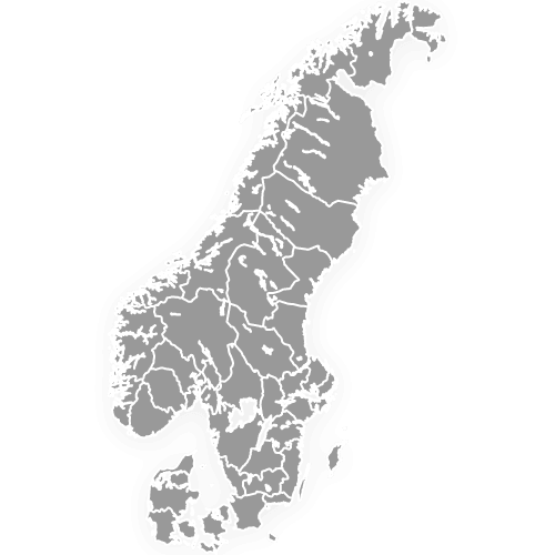
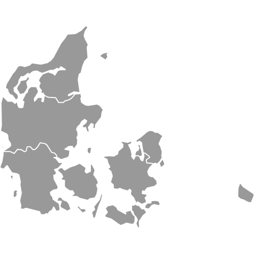
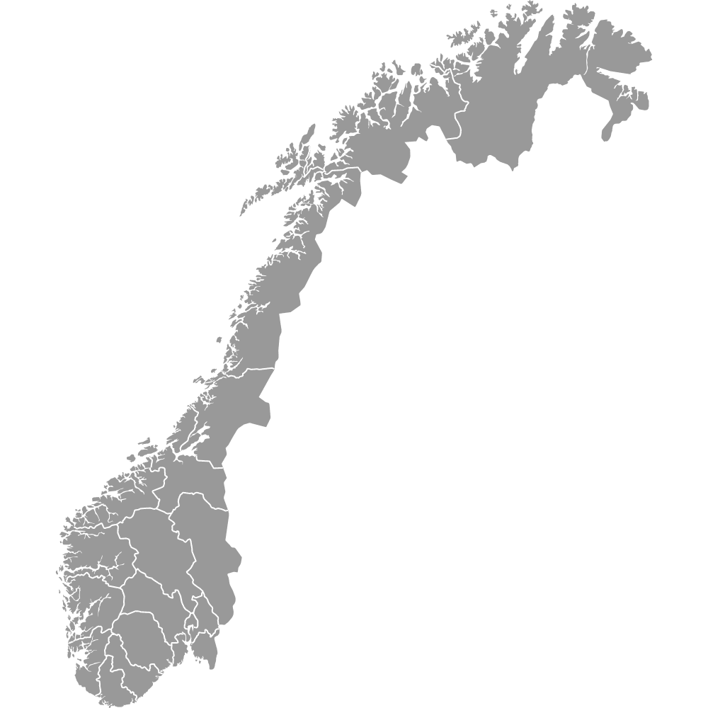
- Member split: Sweden's 21 län (Sweden counties map) and Finland's 19 maakunnat (Finland regions map) supply 40 of the 69 units. Norway adds 15 fylker (Norway counties map), Iceland 8 landshlutar (Iceland regions map), Denmark 5 regioner (Denmark regions map) and the Faroe Islands a single unit.
- Largest by land area: Norrbotten in Sweden, with 97,973 km² (Statistics Sweden, 2026). Lapland in Finland is second with 92,754 km² (Statistics Finland, 2026).
- Smallest by land area: Oslo in Norway, with 426.4 km² (Statistics Norway, 2026), among the units that have a land-area figure.
- Most and least people: Stockholm in Sweden has 2,486,251 (Statistics Sweden, 31 December 2025). Vestfirðir in Iceland has 7,341 (Statistics Iceland, 2026). The Faroe Islands have 54,880 (Hagstova Føroya, 2026).
- Capitals: Stockholm lies in Stockholm, Helsinki in Uusimaa, Copenhagen in Hovedstaden, Oslo in Oslo, which is a county of its own, and Reykjavík in Höfuðborgarsvæði. Tórshavn is the Faroese capital.
- Borders: Russia touches 7 units, Finnmark in Norway and Lapland, North Ostrobothnia, Kainuu, North Karelia, South Karelia and Kymenlaakso in Finland. Germany touches Syddanmark, the only Danish land border.
- Åland: the autonomous islands count as one of Finland's 19 regions and are drawn as their own unit.
- Edges: Greenland, Svalbard and Jan Mayen are not drawn and have no insets, so Norway is the mainland and Denmark excludes Greenland.
- Norway's landsdeler: the 5 landsdeler group Norway's counties into larger areas and are not drawn, only the 15 counties are.
- Pending change: Denmark's Hovedstaden and Sjælland merge on 1 January 2027 under the health reform, which takes the map from 69 to 68 units.
Interesting Facts
- Norway's 15 counties are those of 1 January 2024, when the 2020 counties of Viken, Vestfold og Telemark and Troms og Finnmark were split again. The map keeps the older county lines, so Jevnaker and Lunner, in Akershus since 2024, still draw in Innlandet.
- The Faroe Islands have no ISO 3166-2 code, so their key on the map is their name.
- Sweden has 25 historical landskap, but the map draws its 21 län, the administrative level.
Free Downloads
Free for personal and commercial use with a credit to Ultimaps. See the license terms for details.
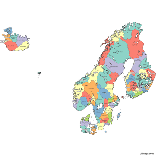 Colored Nordic Countries Map with Regions and Countiespng1125 KB
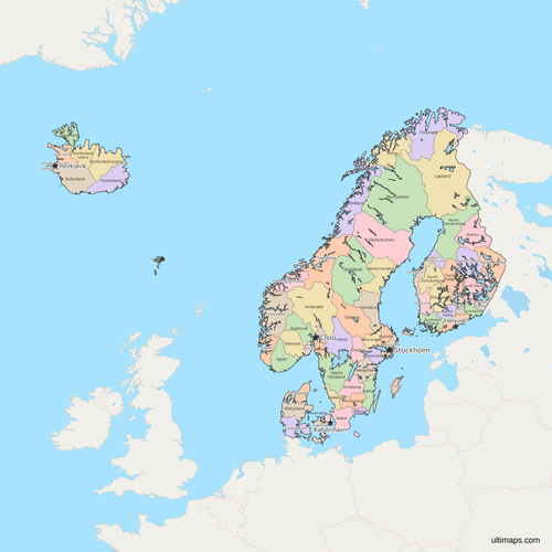 Political Map of the Nordic Countries with Regions and Countiespng1536 KB
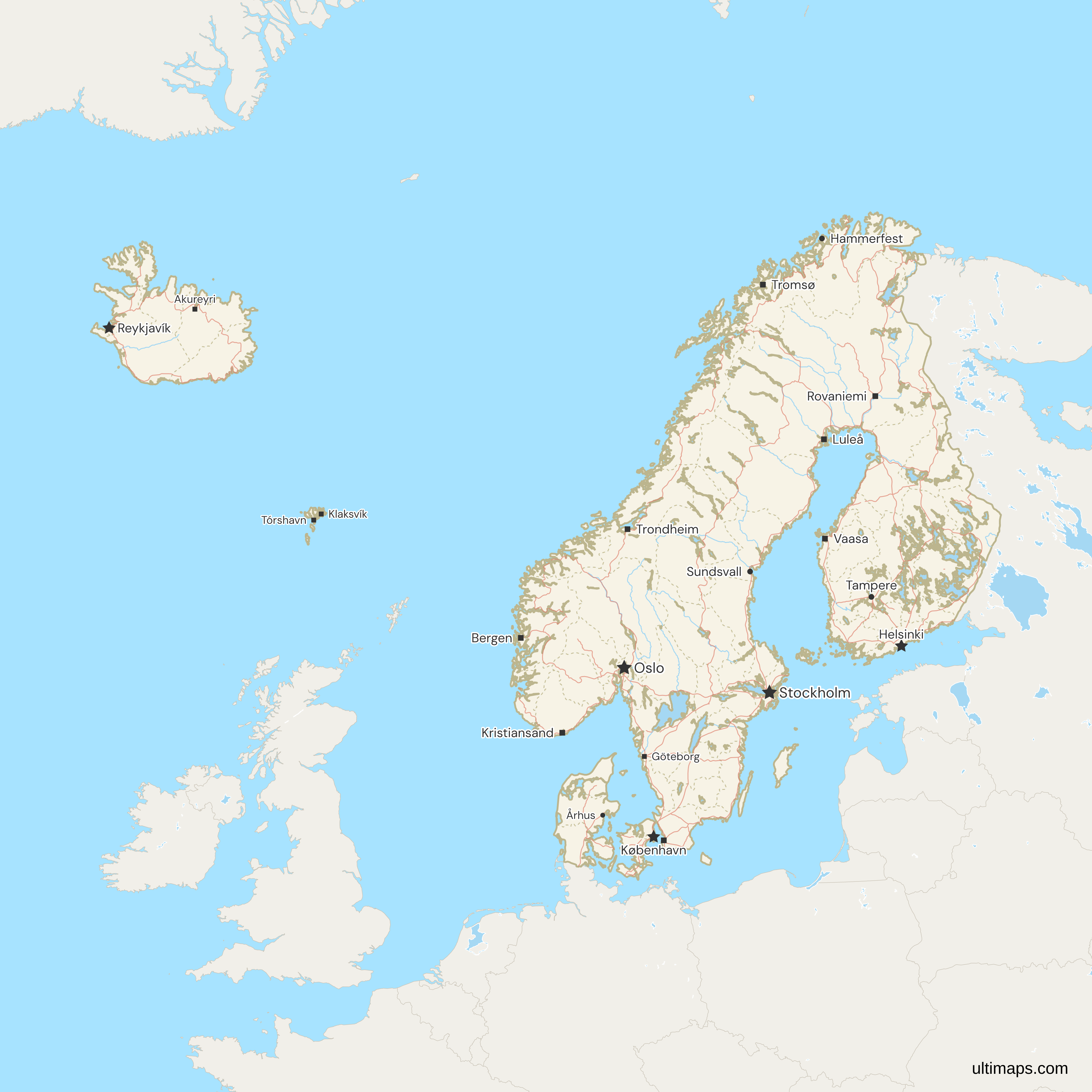
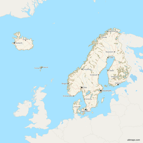 Map of the Nordic Countries with Cities and Roadspng1454 KB
Need it without colors? The blank version of this map comes as a print-ready PDF (A4 and US Letter), a PNG and an editable SVG.
Custom Map Features
This map supports labels.
This map supports surrounding areas, roads, rivers and cities. New
This map is divided into 69 regions/counties.
Updates
Nov 5, 2026:
- Added map of the Nordic countries with regions and counties
Frequently Asked Questions
Both, because the countries name their first-level divisions differently. Denmark, Finland and Iceland use regions, 5, 19 and 8 of them, while Norway has 15 counties and Sweden 21. The Faroe Islands, a self-governing territory within the Kingdom of Denmark, add one unit, which makes 69. Greenland, Svalbard and Jan Mayen are outside the frame. The total holds until Denmark's regions merge on 1 January 2027. For Denmark, Norway and Sweden only, the 41 units of Scandinavia in the strict sense, use the Scandinavia map with regions and counties.
The two rankings sit at opposite ends of the map. Norrbotten in Sweden is the largest unit by land area with 97,973 km² (Statistics Sweden, 2026), yet it has 248,927 people. Stockholm is compact at about 6,548 km² of land and holds 2,486,251 people (Statistics Sweden, 31 December 2025), the most of any unit. The smallest by land area is Oslo in Norway with 426.4 km² (Statistics Norway, 2026), among the units with a published figure, and the smallest by population is Vestfirðir in Iceland with 7,341 (Statistics Iceland, 2026). Land area here means land only, without inland water.
Population per unit runs from 7,341 in Vestfirðir (Statistics Iceland, 2026) to 2.5 million in Stockholm (Statistics Sweden, 31 December 2025), because each country draws its first level at a different scale. Raw totals mostly track the country, so rates or shares per unit compare better. In the European statistical system, Denmark's 5 regions are NUTS 2, while Sweden's 21 counties, Finland's 19 regions and Norway's 15 counties are NUTS 3, and Åland is also a NUTS 2 region of its own. Iceland's 8 regions are not a NUTS level: Iceland's level 3 splits only the capital region from the rest of the country.
The six provinces of Finland, the läänit, were abolished at the end of 2009, and the first-level units that remain are 19 regions, called maakunnat in Finnish and landskap in Swedish. These are the Finnish units on the Nordic map. Åland, an autonomous region of Finland, is one of the 19. Uusimaa, which holds Helsinki, is the most populous with 1,799,629 people (Statistics Finland, 31 December 2025). For a map of Finland alone with the same 19 units, see the Finland regions map.
Iceland has 8 regions, called landshlutar: Höfuðborgarsvæði, Suðurnes, Vesturland, Vestfirðir, Norðurland vestra, Norðurland eystra, Austurland and Suðurland. They are statistical areas, which follow the parliamentary constituencies of 1959 to 2003. Iceland has elected its parliament from six other constituencies since 2003, and local government rests with its 62 municipalities, so the regions have no governing body of their own. Höfuðborgarsvæði, the capital region around Reykjavík and the only one of the 8 that is a NUTS 3 unit, has 251,912 people (Statistics Iceland, 2026), more than the other seven combined.
Sweden has 25 provinces, the landskap, and 21 counties, called län, and the Nordic map draws the counties. The counties are the administrative level, and each has a county administrative board. The provinces are historical regions with no administrative role, so they are not drawn, and several counties cover parts of more than one province: Stockholm County, for example, is divided between Uppland and Södermanland. Västra Götaland, the second most populous county, has 1,777,803 people (Statistics Sweden, 31 December 2025).
Yes, by one unit. Denmark's Hovedstaden and Sjælland regions merge on 1 January 2027 under the health reform, which reduces Denmark from 5 regions to 4 and the map from 69 units to 68. Until then the map draws the five regions in force. Norway's 15 counties of 1 January 2024 are already drawn, and the municipal changes of 2019 and 2020 that moved land between counties are not. For the Nordic countries as six whole units instead, use the Nordic countries map.
Start in the free Ultimaps editor, which needs no account. Color the 69 units one click at a time, or upload a table with one row per unit and its value. Give Åland a row of its own, apart from Finland's other 18 regions, and give the Faroe Islands a single row for the whole territory. Add pins and labels, then share the finished map by link or embed it on a website. Free exports are a standard PNG with a small Ultimaps credit, and high-resolution PNG, SVG and PDF exports come with Pro.