Scandinavia Map
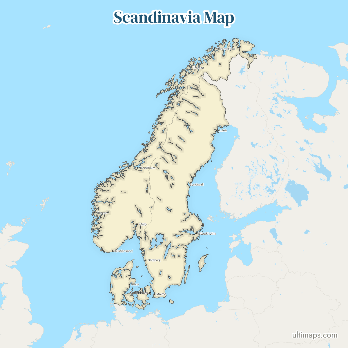
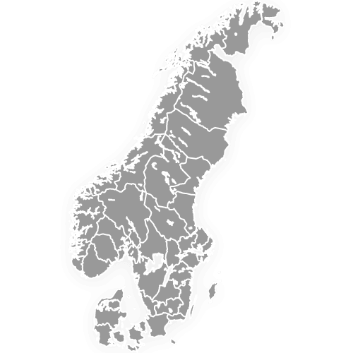
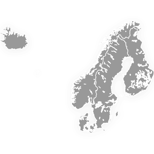
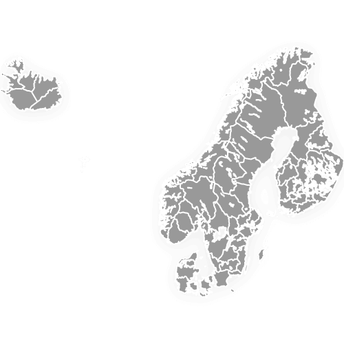
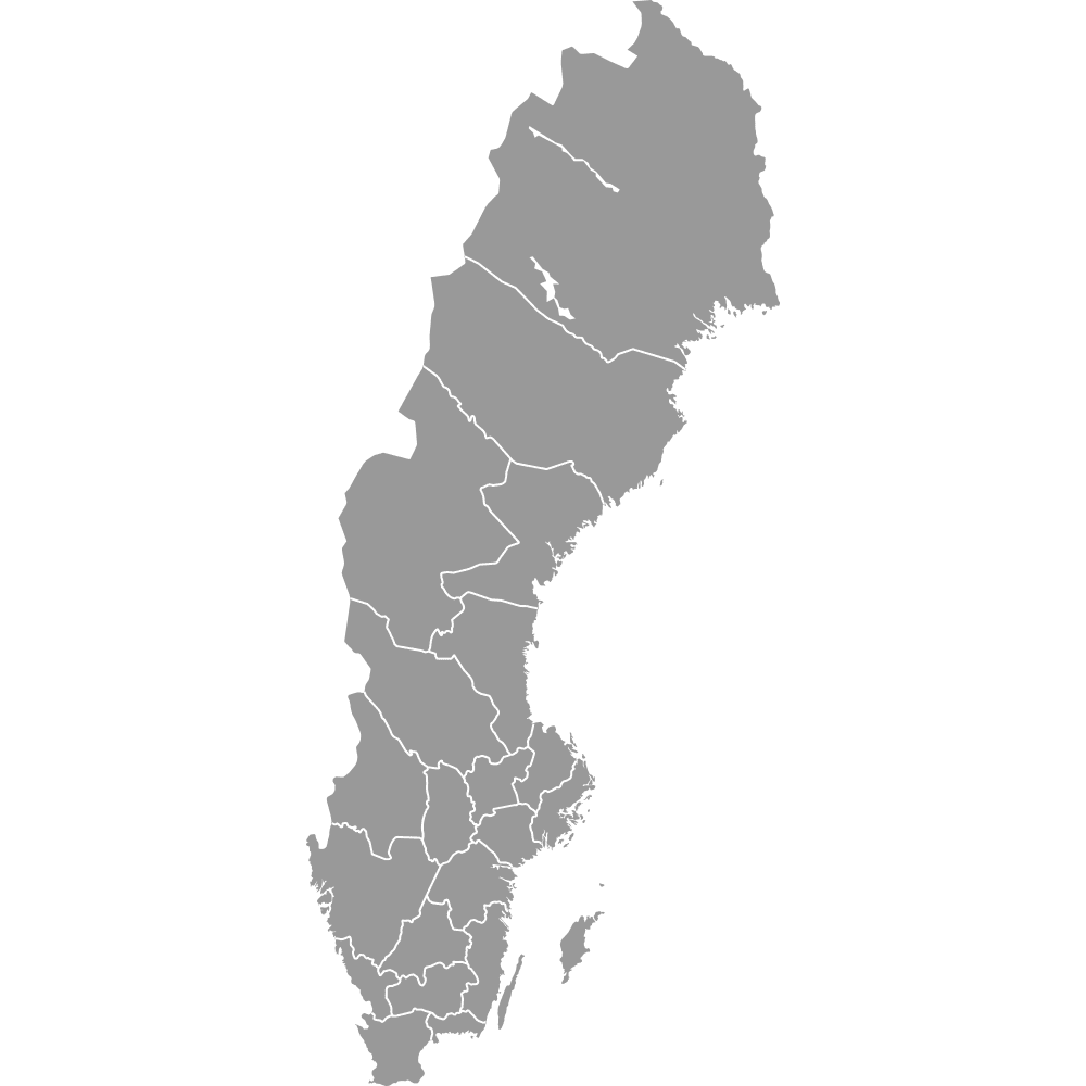
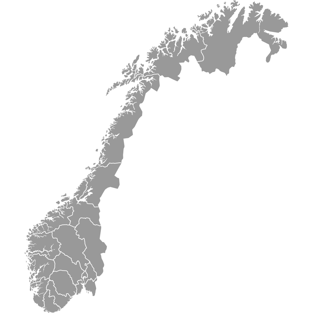
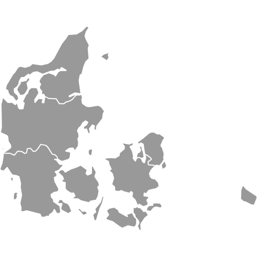
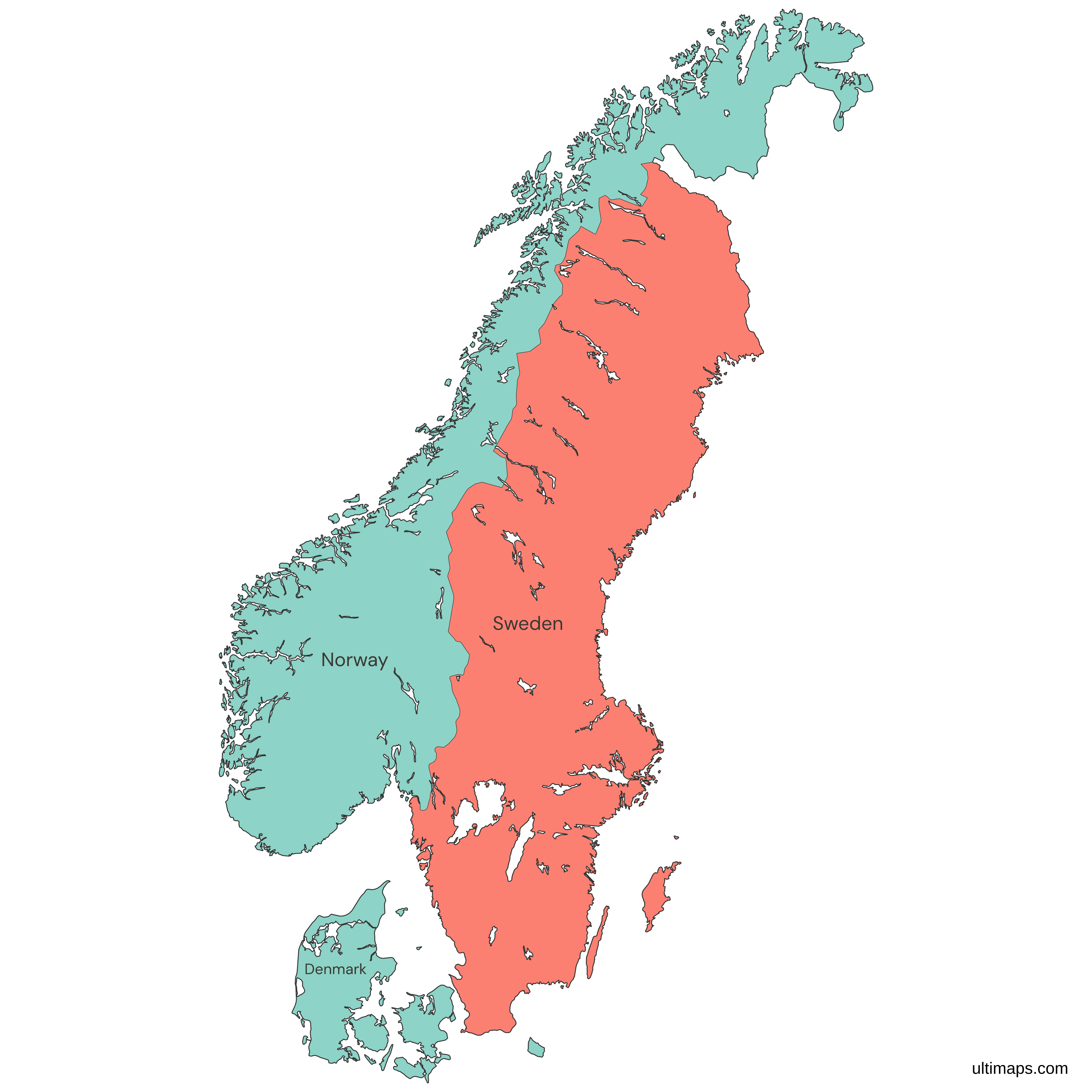
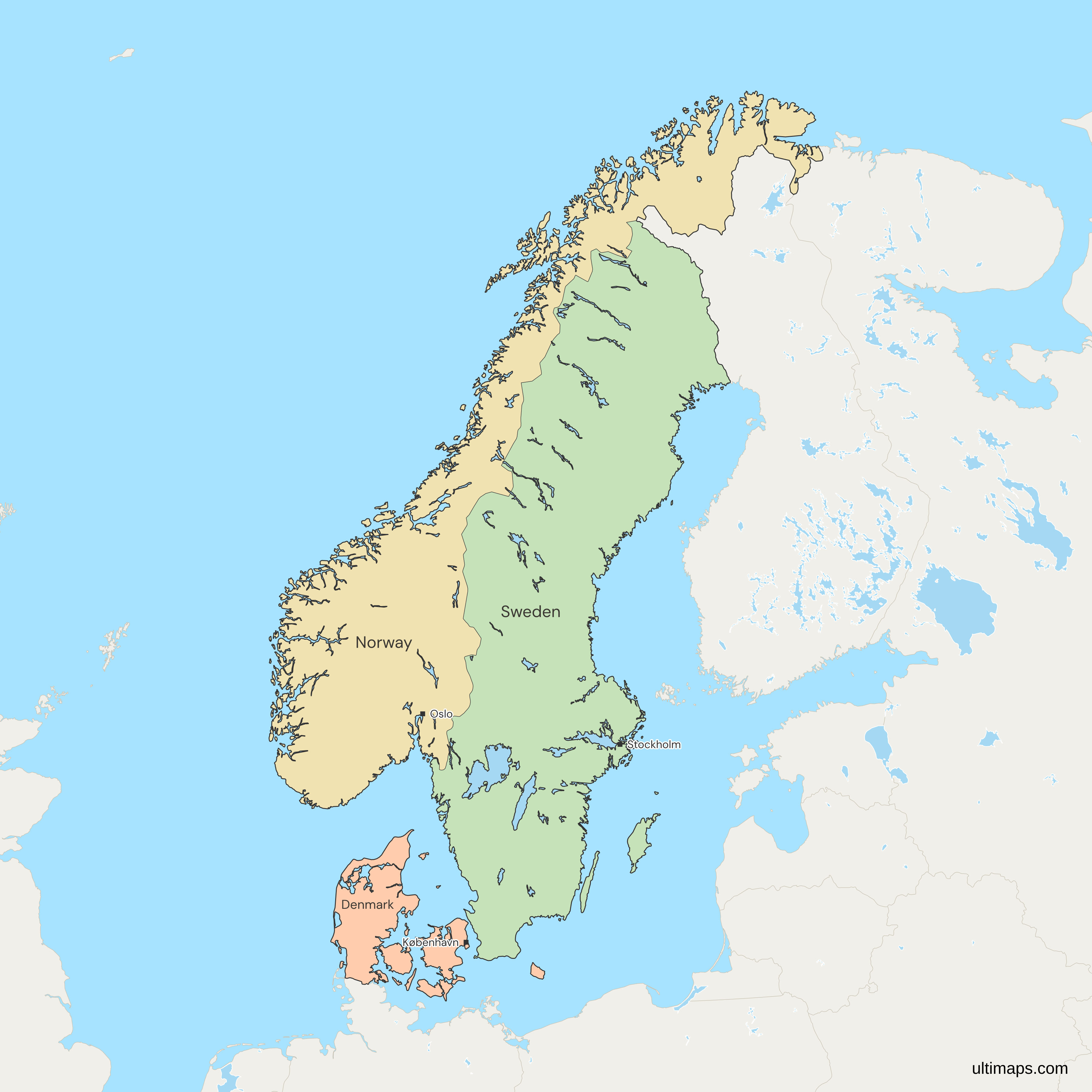
This map of Scandinavia shows all 3 countries, Denmark, Norway and Sweden. In the strict sense, Scandinavia is only these three kingdoms of northern Europe, whose languages are closely related. Finland and Iceland, the other two Nordic countries, are not colored. Finland shows in gray to the east, and Iceland lies out of view to the west. Sweden is the largest, with 407,270 km² of land (World Bank, 2024). The three had 22.2 million people in 2025, almost half of them in Sweden (World Bank). Norway is drawn as its mainland, without Svalbard and Jan Mayen, and Denmark without the Faroe Islands and Greenland.
Open the map in the free Ultimaps editor to make your own custom map of Scandinavia. You can color the countries by your data, add pins and labels, and share or embed the finished map.
Interactive Scandinavia Map
List of Countries (3)
Data sources:
- Capital: Ultimaps, compiled from national constitutions and statutes (cross-checked against Natural Earth). License: facts compiled by Ultimaps, CC BY 4.0.
- Population: World Bank, World Development Indicators (SP.POP.TOTL). License: CC BY 4.0.
- GDP per capita: World Bank, World Development Indicators (NY.GDP.PCAP.CD). License: CC BY 4.0.
- Land area: World Bank, World Development Indicators (AG.LND.TOTL.K2). License: CC BY 4.0.
Scandinavian Countries: Key Facts
- Members: Denmark, Norway and Sweden, all of them kingdoms. For the 41 regions and counties of the three countries on one map, use the Scandinavia map with regions and counties.
- Definition: Scandinavia in its strict sense, the two countries of the Scandinavian Peninsula plus Denmark. Danish, Norwegian and Swedish are North Germanic languages whose speakers can largely follow one another, and the three crowns were joined in the Kalmar Union from 1397 to 1523.
- Finland and Iceland: Some authors add Finland on geological and economic grounds, and Iceland and the Faroe Islands because their languages are related to Norwegian and Swedish.
- Largest and smallest by land: Sweden has the most land, 407,270 km² (World Bank, 2024), and Denmark the least, about a tenth of Sweden's.
- Most and least populous: Sweden had the most people in 2025, 10,596,620, nearly twice as many as Norway, which had the fewest at 5,610,870. Denmark had 6,009,169 (World Bank).
- Combined population: 22,216,659 in 2025, the sum of the three members' World Bank estimates.
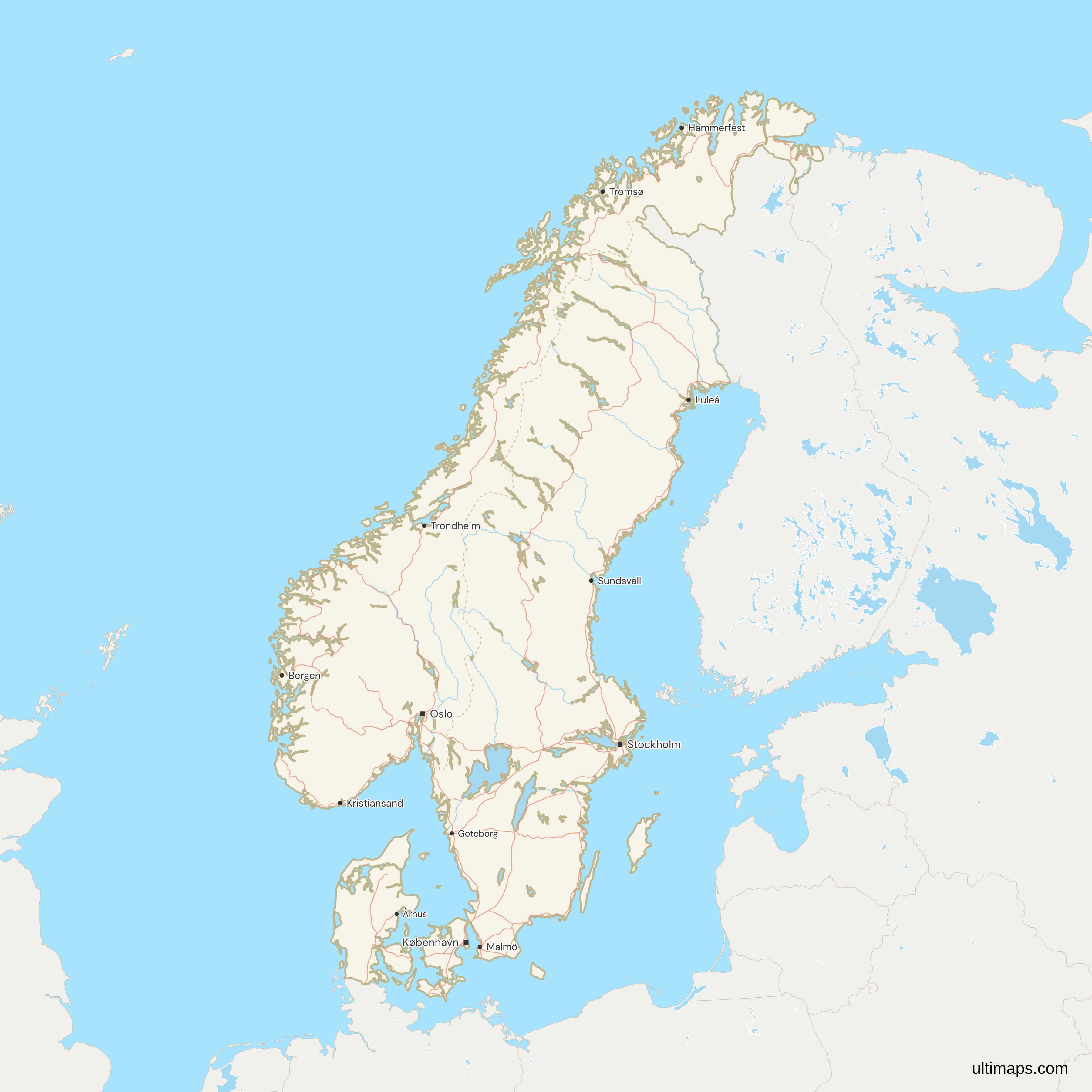
- Capitals: Copenhagen (Denmark), Oslo (Norway) and Stockholm (Sweden), marked with squares. The cities layer has 13 places in all, among them Gothenburg, Malmö, Bergen, Trondheim, Tromsø and Aarhus. Labels use Danish, Norwegian and Swedish spellings, such as København and Göteborg, and Aarhus is labeled Århus, the city's official spelling until 2011.
- Borders: Outside the group, Norway borders Finland and Russia in the far north, Sweden shares a border with Finland, and Denmark's only land border is with Germany, across the Jutland peninsula. The Norway-Sweden border is the longest land border of each country and runs north to the tripoint with Finland. You can also use this map as a map of Norway and Sweden, with Denmark to the south.
- Norway: The colored shape is the mainland with its coastal islands. Svalbard and Jan Mayen are left out, as on the Norway counties map.
- Denmark: Bornholm, Anholt and Læsø are among the islands drawn as part of Denmark proper. The Faroe Islands and Greenland, self-governing parts of the Kingdom of Denmark, are not colored as Denmark. The Faroes lie west of the default frame, level with Trondheim, and show in gray on a landscape canvas such as 16:9. Greenland is not on the map.
- Islands and lakes: Islands under 10 km² are not drawn. Sweden's Vänern, Vättern and Mälaren, Norway's Mjøsa and more than 20 other lakes are drawn as water.
Interesting Facts
- Border with Germany: Denmark's southern border dates from 1920. North Schleswig passed to Denmark on 15 June 1920, after the Schleswig plebiscites.
- Separate kings since 1905: Norway and Sweden shared one king from 1814 until their union was dissolved in 1905.
- Bornholm: Denmark's island in the Baltic Sea lies closer to the coast of Sweden than to Copenhagen.
Free Downloads
Free for personal and commercial use with a credit to Ultimaps. See the license terms for details.
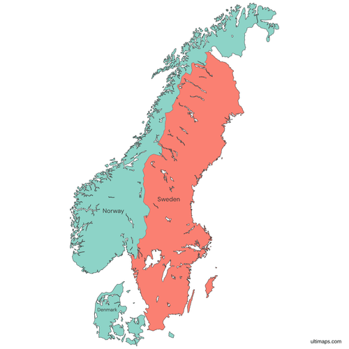 Colored Scandinavia Mappng806 KB
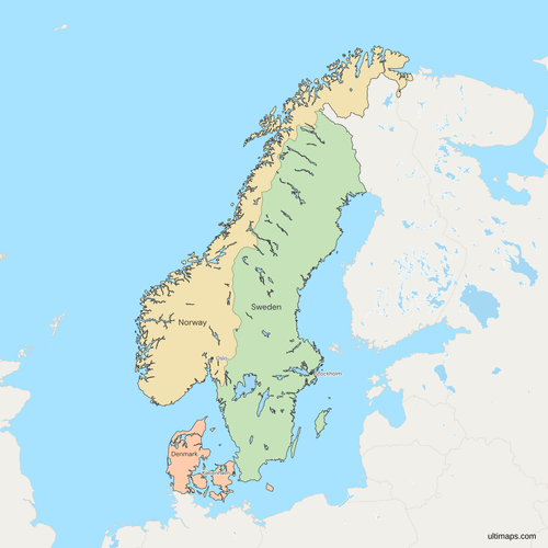 Political Map of Scandinavia with Countriespng1328 KB
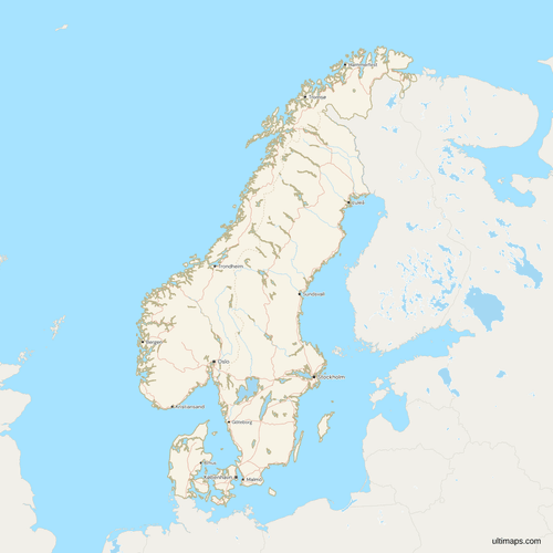 Map of Scandinavia with Cities and Roadspng1402 KB
Need it without colors? The blank version of this map comes as a print-ready PDF (A4 and US Letter), a PNG and an editable SVG.
Custom Map Features
This map supports labels.
This map supports surrounding areas, roads, rivers and cities. New
This map is divided into 3 countries.
Updates
Nov 5, 2026:
- Added map of Scandinavian countries
Frequently Asked Questions
Denmark, Norway and Sweden make up Scandinavia in the strict sense, and they are the three countries colored on this map. Norway and Sweden share the Scandinavian Peninsula, and Denmark belongs to the group by history and language, since Danish, Norwegian and Swedish are closely related. Finland and Iceland are Nordic countries, and English usage sometimes counts them as Scandinavian too. On this map Finland is gray and Iceland is outside the frame. Both are colored on the Nordic countries map. Denmark here means Denmark proper, so the colored shape leaves out its two self-governing territories, the Faroe Islands and Greenland. Scandinavia does not include Greenland, a Nordic territory.
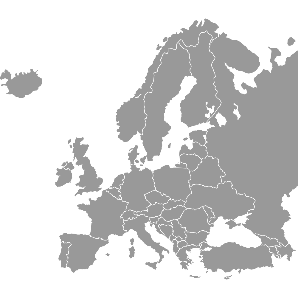
Scandinavia is in northern Europe. Denmark lies farthest south, on the Jutland peninsula and its islands between the North Sea and the Baltic Sea. To its north, Norway and Sweden take up most of the Scandinavian Peninsula, which reaches north of the Arctic Circle. The Skagerrak strait lies between Denmark and Norway, and the Øresund strait separates Denmark's Zealand, with Copenhagen, from Sweden's Scania, with Malmö. The Øresund narrows to 4 km between Helsingør and Helsingborg. On land, Scandinavia's only outside neighbors are Finland and Russia in the north and Germany in the south. The Europe map shows the three with those neighbors and the rest of the continent.
Not in the narrow, three-country sense: Finland is a Nordic country but not a Scandinavian one, and this map draws it in gray to the east of Sweden and Norway. Finland was part of the Swedish realm until 1809, and Swedish is one of its two national languages. Its northwest lies on the Scandinavian Peninsula too. Finnish, though, is a Uralic language, unrelated to Danish, Norwegian and Swedish. Finland does belong to Fennoscandia, a geographic term for the Scandinavian Peninsula, Finland, Karelia and the Kola Peninsula.
Nordic is the wider term and Scandinavian the narrower one. In the strict sense this map uses, the Scandinavian countries are Denmark, Norway and Sweden. The Nordic countries are those three plus Finland and Iceland, and the Nordic region also takes in the Faroe Islands and Greenland, which belong to the Kingdom of Denmark, and Åland, which belongs to Finland. All of them work together in the Nordic Council, founded in 1952. Estonia, across the Baltic Sea, is neither Scandinavian nor a member of the Nordic Council. For all five countries, use the Nordic countries map.
Iceland is not part of Scandinavia proper, which is Denmark, Norway and Sweden, though it is one of the five Nordic countries. Its ties to Scandinavia include language and settlement: Icelandic is a North Germanic language like Danish, Norwegian and Swedish, and Iceland was settled mainly from Norway. The island came under the Norwegian crown between 1262 and 1264 and later under the Danish crown, and it became a republic on 17 June 1944. It lies in the North Atlantic west of Norway, outside this map's frame.
Yes, Denmark is one of the three Scandinavian countries, colored here with Norway and Sweden, although none of it lies on the Scandinavian Peninsula. The peninsula holds Norway, Sweden and part of northwestern Finland. Denmark consists of the northern part of the Jutland peninsula, which it shares with Germany, and islands such as Zealand, Funen and Bornholm. Norway was ruled from Copenhagen until 1814, when Denmark gave it up under the Treaty of Kiel. The purely geographic grouping, Fennoscandia, takes in Finland but leaves Denmark out.
Scandinavia had 22,216,659 people in 2025, by the World Bank's estimates for Denmark, Norway and Sweden added together. Sweden alone had 10,596,620, close to half of the total. Denmark, the smallest of the three countries by land, had 6,009,169 people, more than Norway's 5,610,870. The three together gained about 1.5 million people from 20,671,276 in 2015, and Sweden accounted for 797,434 of that growth. The World Bank counts the Faroe Islands and Greenland separately, so Denmark's figure does not include them.
Three rows of data are enough for a custom map of Scandinavia in the free Ultimaps editor, and you can start without an account. List the three countries by English name or ISO code, such as SWE, beside your figures, then paste or import the table. To color by hand, click each country with the Paint tool. Places outside the 13 marked cities, such as Uppsala or Stavanger, go in as pins, and any other text as labels. A free account lets you save, publish, share and embed the map. Downloading without Pro gives you a standard PNG with a small Ultimaps credit. With Ultimaps Pro, the same map is also available as high-resolution PNG, SVG and PDF.