British Isles Map
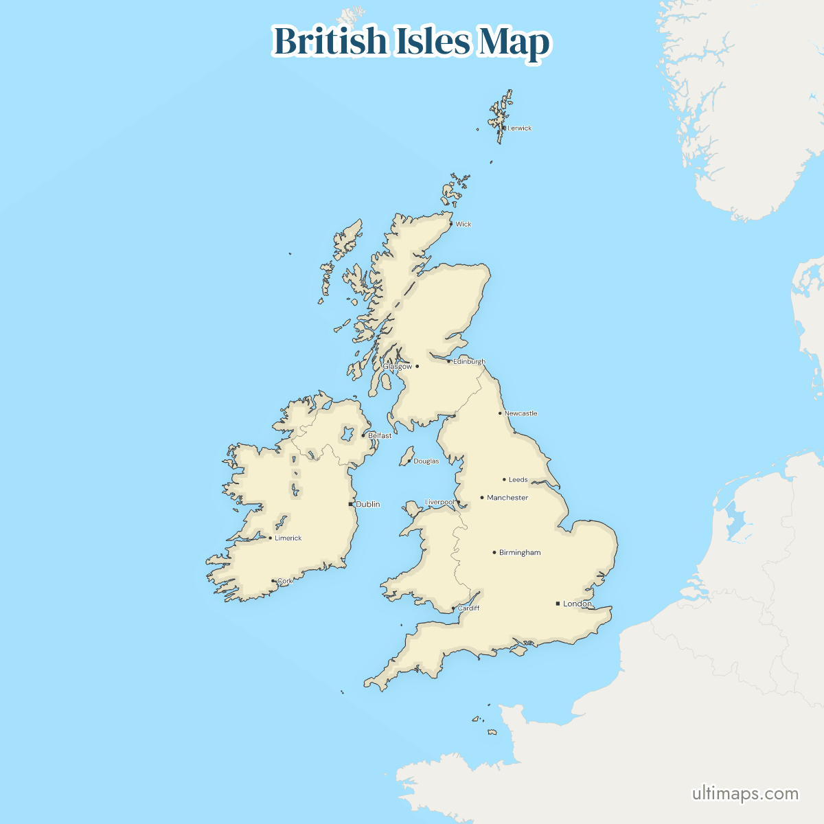
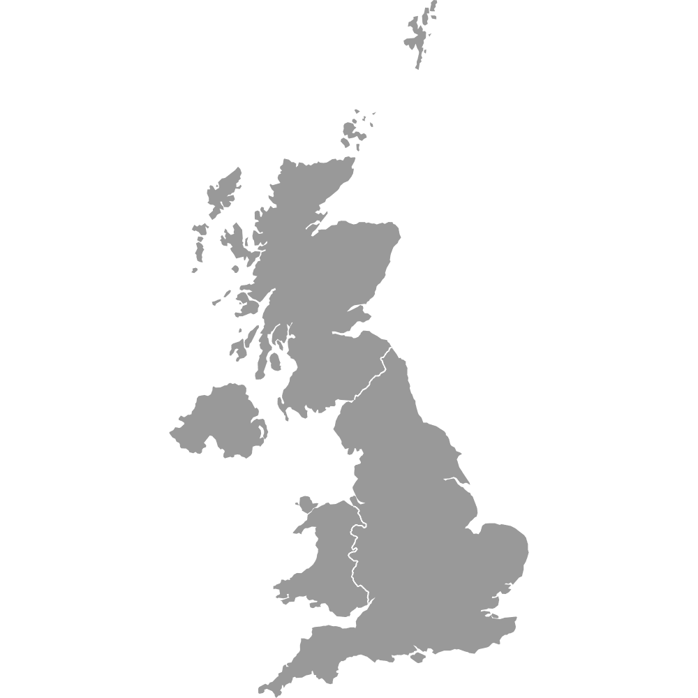
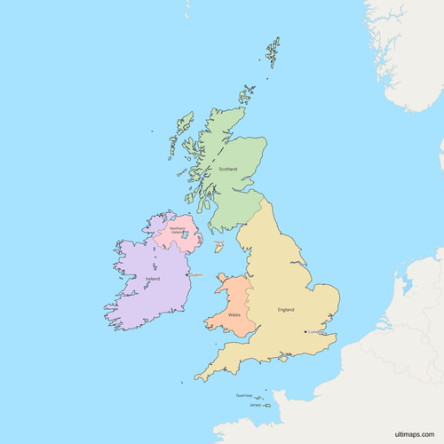
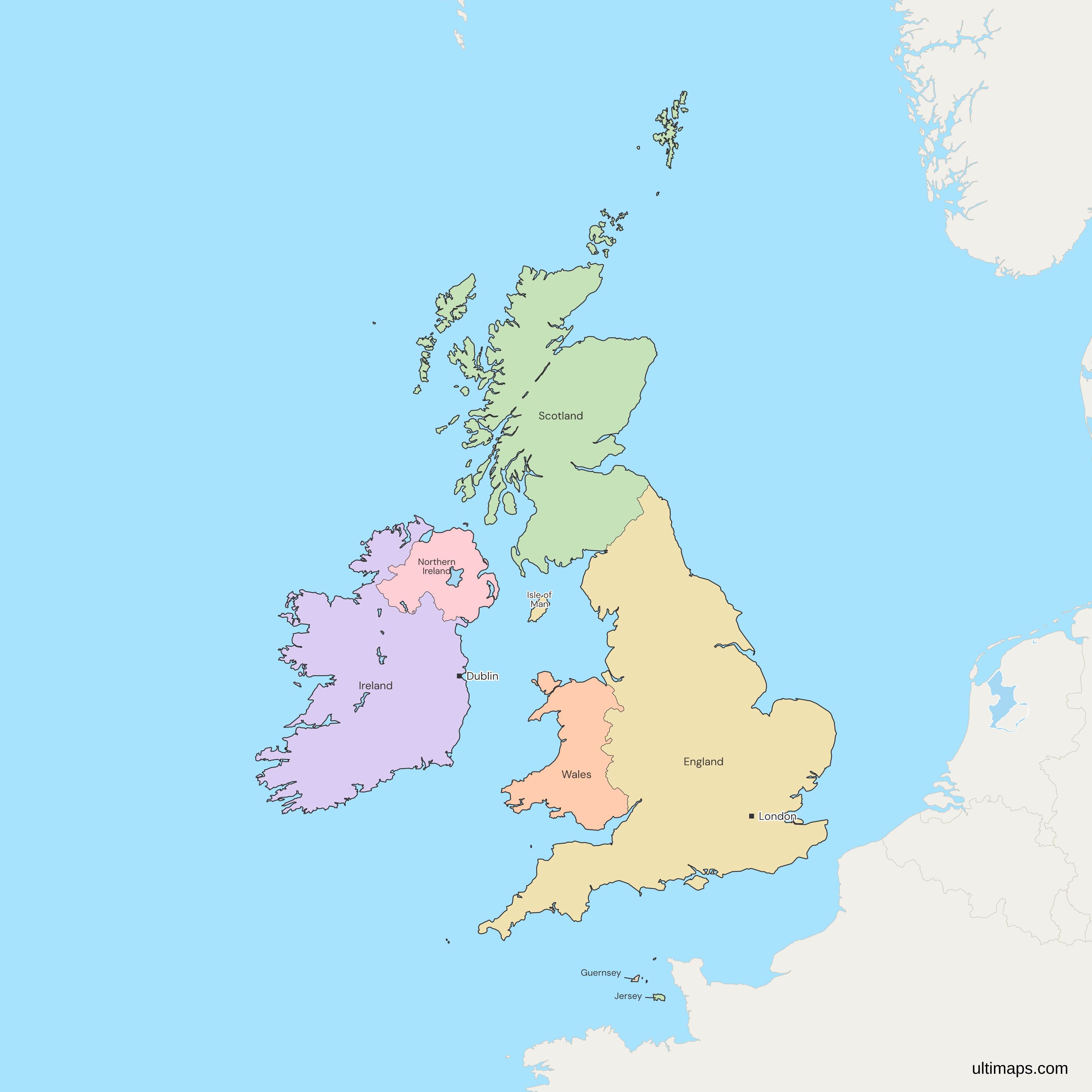
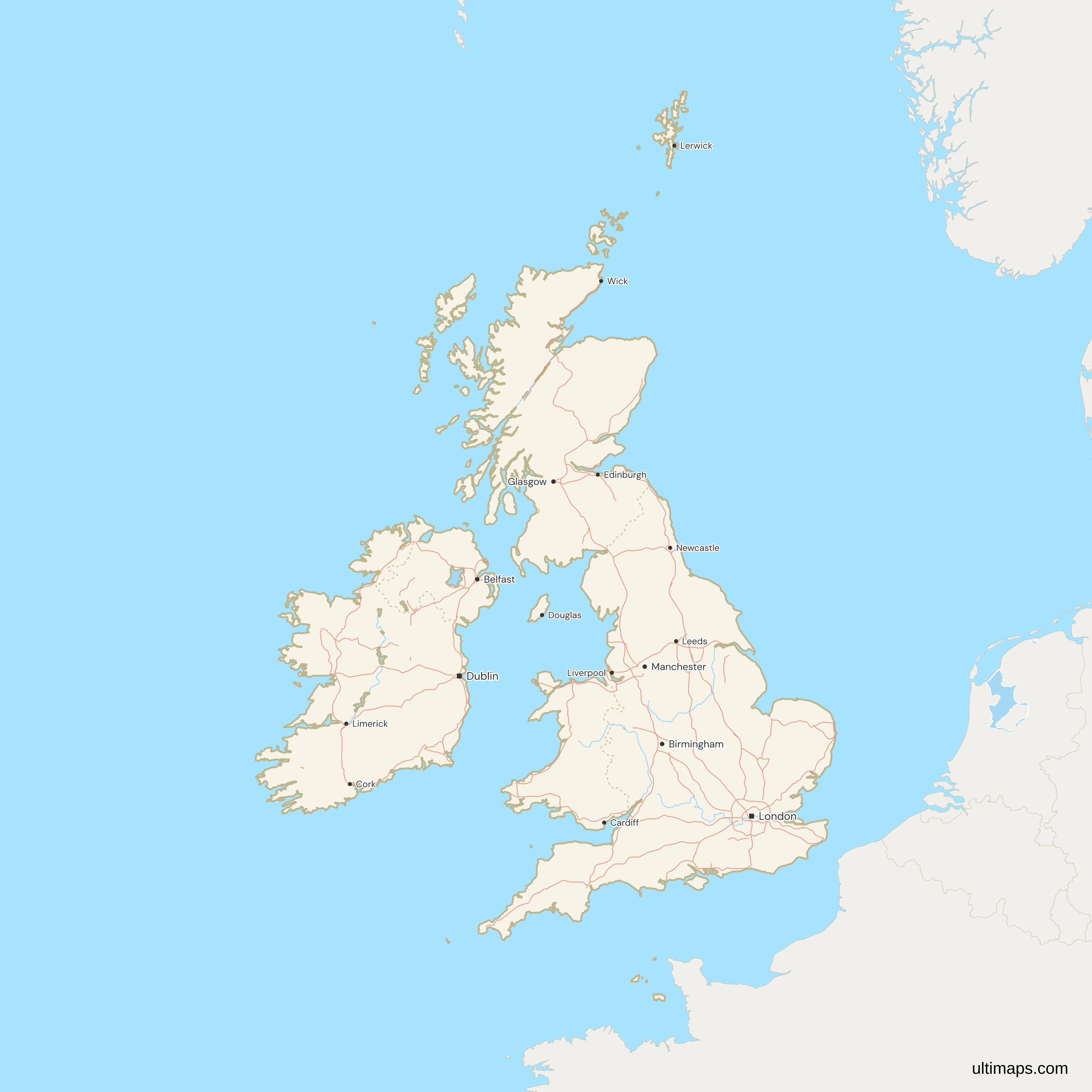
This map of the British Isles shows all 8 nations, England, Scotland, Wales, Northern Ireland, Ireland, Jersey, Guernsey and the Isle of Man. The British Isles is a geographic name for Great Britain, the whole island of Ireland and the islands around them, so Ireland is included though it is not in the United Kingdom. The map uses the usual reading, which includes the Channel Islands. Four of the 8 are UK nations, one is a sovereign state and three are self-governing Crown Dependencies. England has 58.8 million people (ONS, 2025) and Ireland 5.5 million (CSO, 2025). France and the other nearby countries of mainland Europe are drawn in gray.
Open the map in the free Ultimaps editor to make your own custom map of the British Isles. You can color the nations by your data, add pins and labels, and share or embed the finished map.
Interactive British Isles Map
List of Nations (8)
| # | Nation | Capital | Population (2025) | Area (km²) |
|---|---|---|---|---|
| 1 | England | London | 58,834,812 | 130,464.44 |
| 2 | Guernsey | St Peter Port | — | — |
| 3 | Ireland | Dublin | 5,458,600 | 70,265 |
| 4 | Isle of Man | Douglas | 84,975 | 572 |
| 5 | Jersey | St Helier | 104,489 | — |
| 6 | Northern Ireland | Belfast | 1,928,446 | 14,329.77 |
| 7 | Scotland | Edinburgh | 5,545,500 | 78,800.57 |
| 8 | Wales | Cardiff | 3,175,181 | 20,782.83 |
Data sources:
- Capital: Ultimaps, compiled from the seats of each legislature and government (Constitution of Ireland, Hansard, States of Guernsey). License: facts compiled by Ultimaps, CC BY 4.0.
- Population: ONS (MYE4, with NRS and NISRA), CSO (PEA01), Statistics Isle of Man and Statistics Jersey, 2025. License: each office's open terms, credit required. Contains public sector information licensed under the Open Government Licence v3.0 and the Isle of Man Open Government Licence.
- Area: ONS Standard Area Measurements (December 2024; contains OS data © Crown copyright and database right 2025), CSO (F1011) and Statistics Isle of Man. License: each office's open terms, credit required. Contains public sector information licensed under the Open Government Licence v3.0 and the Isle of Man Open Government Licence.
British Isles Nations: Key Facts
- Members: England, Scotland, Wales and Northern Ireland, which make up the United Kingdom, plus Ireland, Jersey, Guernsey and the Isle of Man.
- Definition (UK and Ireland): The map covers the UK and Ireland together with the islands around them. It also includes the Channel Islands, which lie off France and which some definitions leave out. The Isle of Man is part of the group on every definition.
- Crown Dependencies: Jersey, Guernsey and the Isle of Man are self-governing, with their own parliaments. They belong to the Crown and not to the UK, which handles their defense and international relations.
- Edges: The legal term British Islands covers the UK, the Channel Islands and the Isle of Man but not Ireland. Among the 23 gray countries in the frame are France, Belgium, the Netherlands, Germany and Iceland.
- Capitals: London (England), Edinburgh (Scotland), Cardiff (Wales), Belfast (Northern Ireland), Dublin (Ireland), Douglas (Isle of Man), St Helier (Jersey) and St Peter Port (Guernsey).
- Largest and smallest by area: England is the largest unit and Scotland is second, ahead of Ireland. Guernsey is the smallest, below Jersey.
- Population: England has 58,834,812 people (ONS, 2025), Scotland 5,545,500 (National Records of Scotland, 2025) and Ireland 5,458,600 (CSO, 2025). Wales has 3,175,181 (ONS, 2025), Northern Ireland 1,928,446 (NISRA, 2025) and Jersey 104,489 (Statistics Jersey, 2025). The Isle of Man has 84,975 (Statistics Isle of Man, 2025, provisional), and Guernsey has no 2025 figure.
- Borders: The only land border between two states among the 8 nations runs between Northern Ireland, in the UK, and Ireland. On Great Britain, England borders Wales and Scotland. Jersey, Guernsey and the Isle of Man are surrounded by sea.
- Map decisions: Guernsey is the Bailiwick of Guernsey, with Alderney, Sark and Herm. The Isle of Wight, the Scillies, the Hebrides, Orkney and Shetland sit inside England or Scotland. Jersey and Guernsey show no capital dot, because the source data has no populated place in either island.
- Not drawn: Rockall, a tiny rock claimed by the United Kingdom and not recognized by Ireland, falls outside the frame and is not drawn. The UK-Ireland boundary in Lough Foyle and Carlingford Lough is not agreed, so both loughs are drawn as sea with no boundary line.
Interesting Facts
- England has 58,834,812 people, more than three times the six other units with a 2025 figure combined.
- The Northern Ireland and Ireland border was drawn under the Government of Ireland Act 1920 and became the border with the Irish Free State in December 1922. A 1925 agreement then kept the line where it was.
Free Downloads
Free for personal and commercial use with a credit to Ultimaps. See the license terms for details.
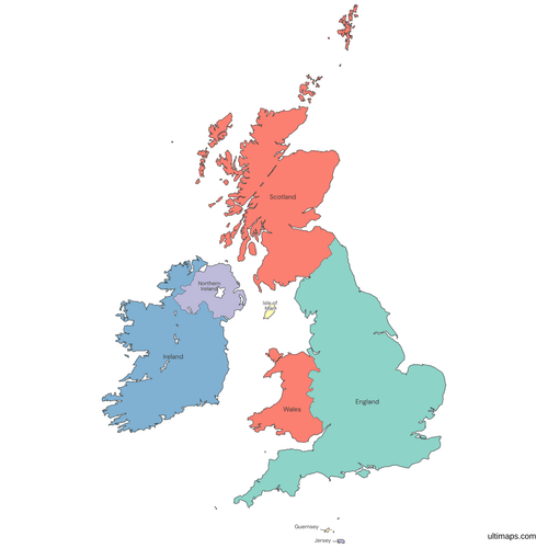 Colored British Isles Mappng541 KB
 Political Map of the British Isles with Nationspng692 KB
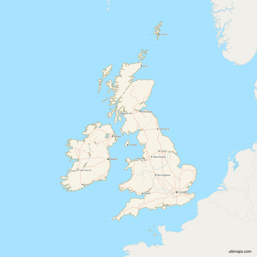 Map of the British Isles with Cities and Roadspng824 KB
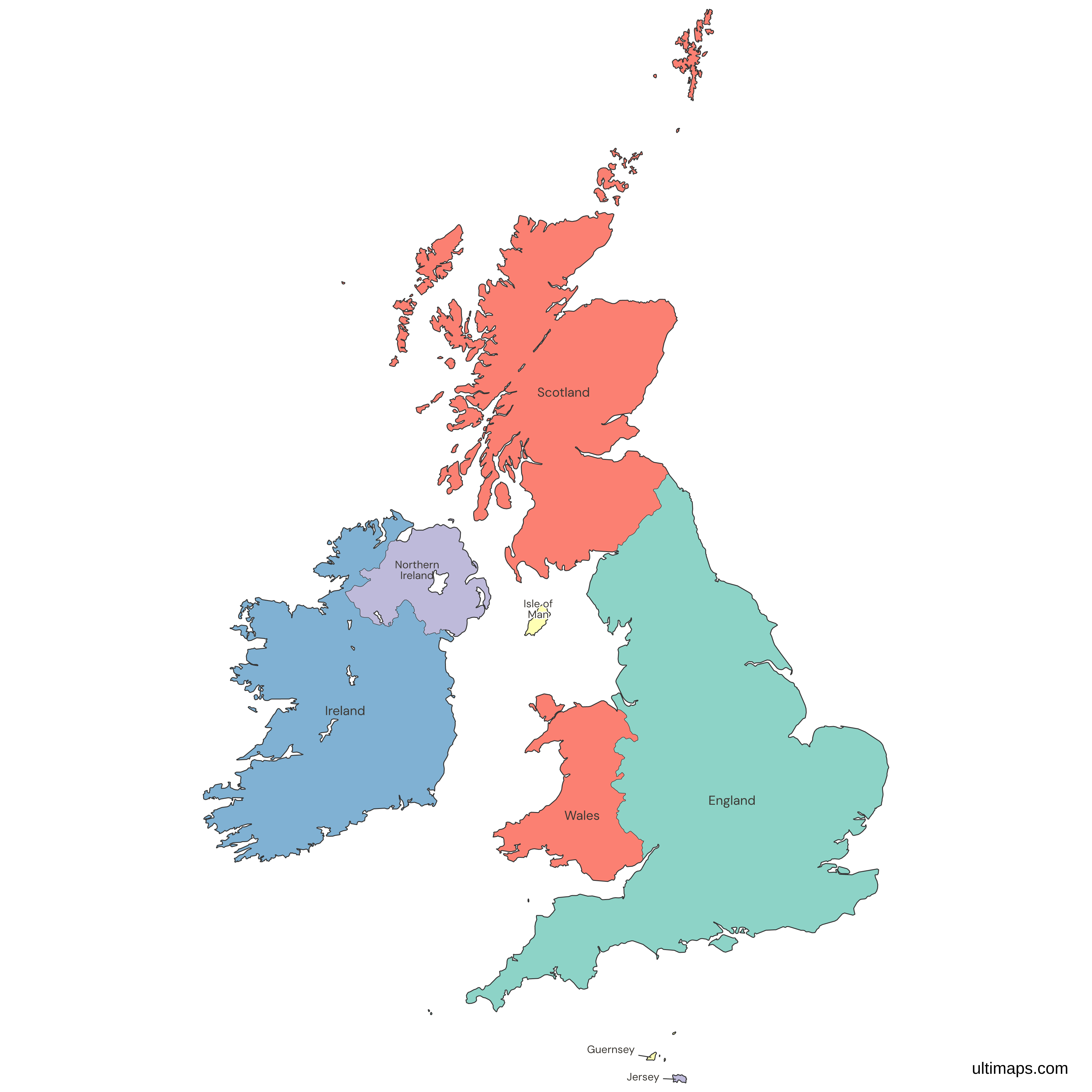
Need it without colors? The blank version of this map comes as a print-ready PDF (A4 and US Letter), a PNG and an editable SVG.
Custom Map Features
This map supports labels.
This map supports surrounding areas, roads, rivers and cities. New
This map is divided into 8 nations.
Updates
Nov 5, 2026:
- Added map of the British Isles (England, Scotland, Wales, Northern Ireland, Ireland, Jersey, Guernsey and the Isle of Man)
Frequently Asked Questions
The British Isles include England, Scotland, Wales, Northern Ireland, Ireland, the Isle of Man, Jersey and Guernsey, which are the 8 nations this map draws. Four of them form the United Kingdom, Ireland is a separate sovereign state, and the Isle of Man, Jersey and Guernsey are Crown Dependencies. Most definitions include the Channel Islands, and this map does. The name is geographic, so it ignores political status. Counted by state, the group holds only the UK and Ireland, and the three Crown Dependencies sit alongside them.
Northern Ireland is part of the United Kingdom, as one of its four nations with England, Scotland and Wales. It shares the island of Ireland with Ireland, a separate sovereign state, and the two meet along the only land border between states on this map. Belfast is the capital, and 1,928,446 people lived in Northern Ireland in mid-2025 (NISRA). The Government of Ireland Act 1920 drew that border, and a 1925 agreement between the governments kept it in place after Northern Ireland chose to stay out of the Irish Free State.
The Crown Dependencies are Jersey, the Bailiwick of Guernsey and the Isle of Man, three self-governing territories that belong to the British Crown. They are not part of the United Kingdom. Each has its own directly elected parliament and its own laws, and the UK is responsible for their defense and international relations. Jersey has 104,489 people (Statistics Jersey, 2025) and the Isle of Man has 84,975 (Statistics Isle of Man, 2025), while Guernsey has no 2025 figure. This map draws each of the three as its own unit, so none is shown as a part of England.
Ireland is part of the British Isles in the geographic sense, because the name covers the whole island of Ireland as well as Great Britain. Ireland is a sovereign state with its capital in Dublin, and 5,458,600 people lived there in April 2025 (CSO). The Government of Ireland does not officially recognize the term British Isles, which is one reason many people in Ireland search for a map of the UK and Ireland instead. Only Northern Ireland, a UK nation, shares the island with it.
The UK, Great Britain and the British Isles name three different sets of places. The United Kingdom is the state made up of England, Scotland, Wales and Northern Ireland. Great Britain is the island that holds England, Scotland and Wales, so it leaves out Northern Ireland, which lies on the island of Ireland. The British Isles are the wider geographic group, adding Ireland, the Isle of Man and the Channel Islands. A legal term, the British Islands, covers the UK, the Channel Islands and the Isle of Man but not Ireland, which sits outside the British Islands.
The Channel Islands are part of the British Isles on the definition this map follows, though some definitions leave them out because they lie off the coast of Normandy and not in the main archipelago. They are the Bailiwick of Jersey and the Bailiwick of Guernsey, and both are Crown Dependencies. The Isle of Man is not a Channel Island, since it lies in the Irish Sea, but it is a Crown Dependency and belongs to the British Isles on every definition. Jersey has 104,489 people (Statistics Jersey, 2025), and the Isle of Man is drawn as a unit on the map like the two bailiwicks.
The British Isles map has 8 units, and only 2 of them are sovereign states. The first answer above shows which unit belongs to which group. Counted as units the total is 8, and counted as states it is 2, because the UK nations share a single state and the Crown Dependencies are not states at all. Anyone quoting a figure should say which count they mean, since both "8 countries" and "2 countries" can be defended for this group. The map itself draws the 8 units, one region each.
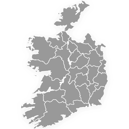
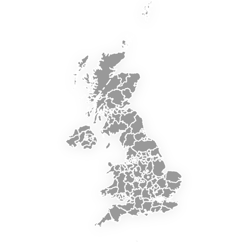
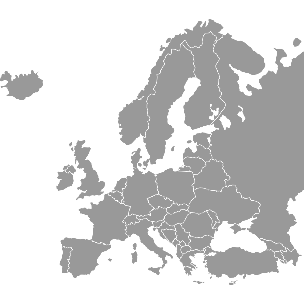
Three other Ultimaps maps go deeper than this one on parts of the British Isles. The UK countries map draws the four UK nations alone. The Ireland counties map splits Ireland into its 26 counties. The UK counties and Crown Dependencies map adds Jersey, Guernsey and the Isle of Man to the UK's counties. To see the whole group beside its neighbors, such as France, open the Europe map. Each map has its own regions, so pick the one whose units match the rows of your data.
Ultimaps is free to start and needs no account. In the editor, click a nation to color it by hand, or upload a table with one row per nation and its value. A table for this map has 8 rows, and Jersey, Guernsey and the Isle of Man each need a row of their own, since none of them is counted inside England. Ireland and Northern Ireland are separate rows too, so an all-island figure has to be split before it goes in. Every value then sets the color of its unit.