United Kingdom Map with Counties and Crown Dependencies
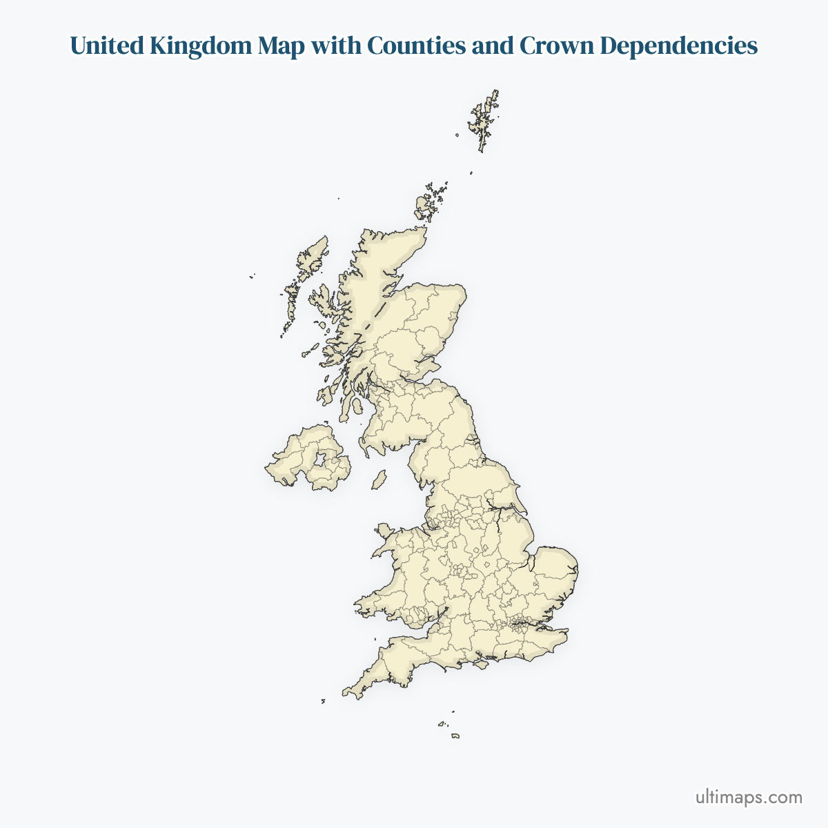
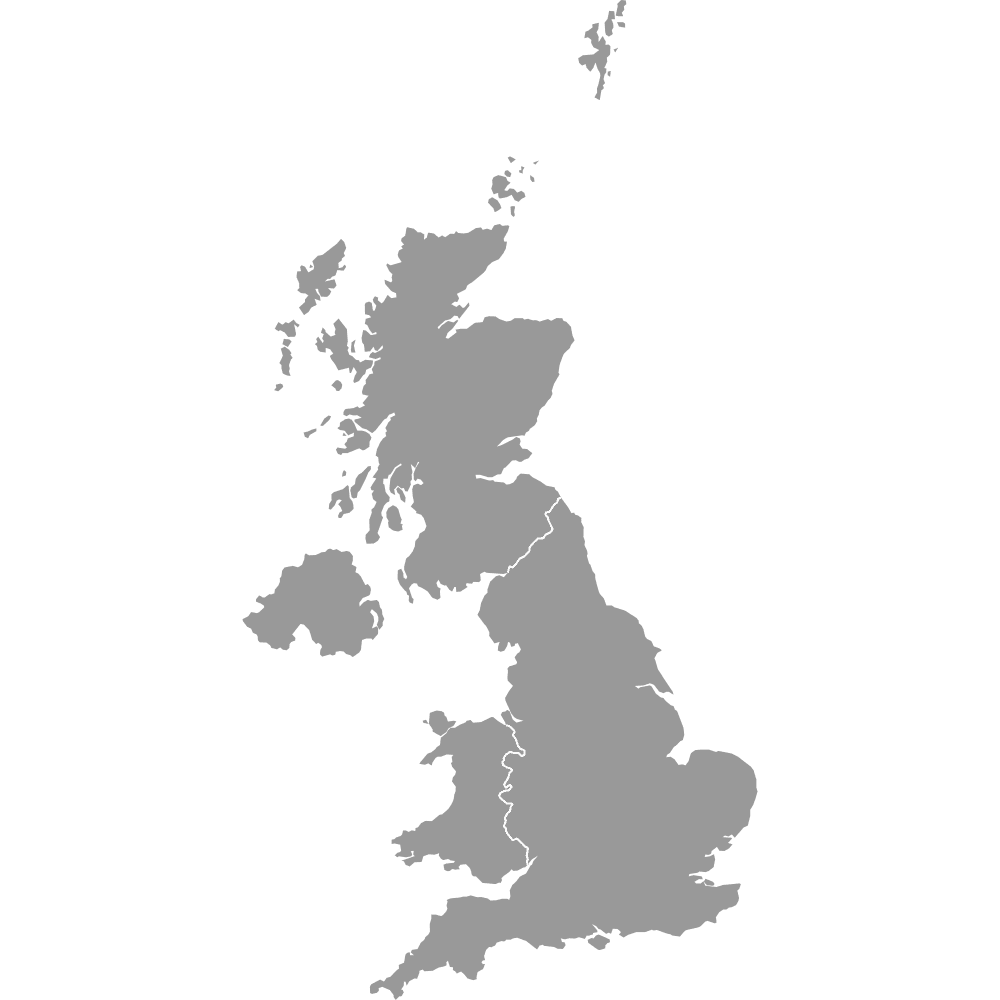
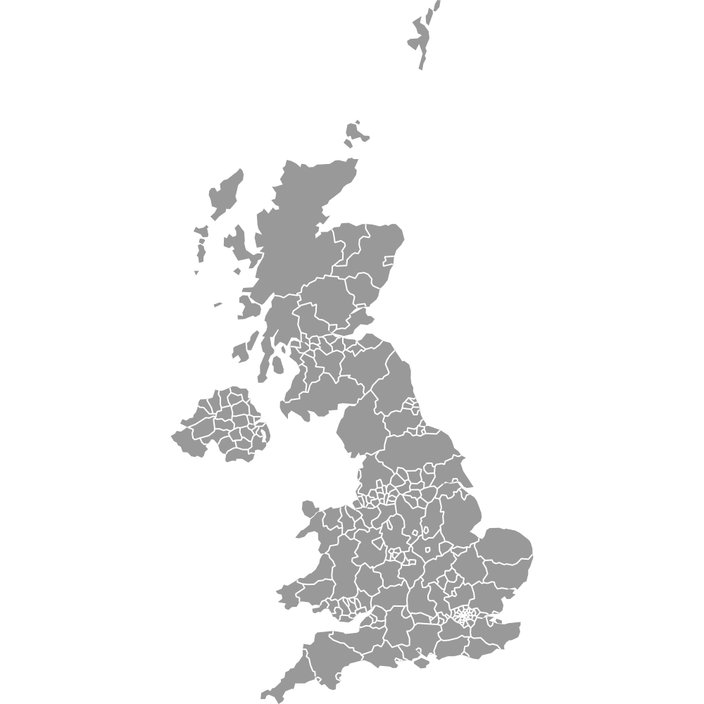
This map covers 221 regions: the 218 counties and unitary authorities of the United Kingdom plus the three Crown Dependencies, the Isle of Man, Jersey, and Guernsey. Most UK county maps stop at the UK border, which leaves out the dependencies even though coverage areas, distribution networks, and legal definitions of the British Islands often include them. If you only need the UK itself, use the standard United Kingdom counties map instead. Click any region on the interactive map to see its name and boundary. To put your own data on the map, open the editor and color the 221 regions by hand or from a spreadsheet, then export or embed the result. Free blank maps are also available to download.
Interactive United Kingdom Map with Counties and Crown Dependencies
List of Counties (221)
UK Counties and Crown Dependencies: Key Facts
- Total number of regions: 221, made up of 218 UK counties and unitary authorities (153 in England, 32 in Scotland, 22 in Wales, 11 in Northern Ireland, ONS December 2024 boundaries) plus 3 Crown Dependencies
- Crown Dependencies: the Isle of Man (84,069, 2021 census), Jersey (103,267, 2021 census), and Guernsey (63,463, 2021 electronic census)
- Most populous region: Birmingham, 1,144,900 (2021 census), the largest single local authority in the UK
- Least populous region: the Isles of Scilly, about 2,100 (2021 census)
- Largest region by area: Highland, Scotland, 9,907 square miles (25,657 km², ONS Standard Area Measurements)
- Smallest region by area: the City of London, 1.12 square miles (2.9 km², ONS Standard Area Measurements)
- Major urban centers: Birmingham, Leeds, Manchester, and Glasgow City each form a single region on the map, while London appears as 33 separate regions: the 32 London boroughs plus the City of London
- Capitals: London (UK), Douglas (Isle of Man), St Helier (Jersey), St Peter Port (Guernsey)
- Borders: one land border with the Republic of Ireland along Northern Ireland. The Channel Islands lie off the Normandy coast of France, and the map area is bounded by the Atlantic Ocean, the North Sea, the Irish Sea, and the English Channel
- Time zone: GMT (UTC+0), switching to BST (UTC+1) in summer, in the UK and all three Crown Dependencies
- Historical note: county and unitary authority boundaries follow the ONS December 2024 set. The most recent major change came in April 2023, when Cumberland, Westmorland and Furness, North Yorkshire, and Somerset became unitary authorities
Interesting Facts
- The Crown Dependencies have never been part of the United Kingdom. They are self-governing possessions of the Crown, and the UK is responsible only for their defense and international representation.
- Tynwald, the Isle of Man's parliament, has met continuously since around 979 AD and is one of the oldest continuous parliaments in the world.
- The entire Isle of Man was designated a UNESCO Biosphere region in 2016, the first time a whole nation received the status.
- Jersey and Guernsey issue their own pound notes, which circulate at par with the British pound.
- Guernsey on this map represents the Bailiwick of Guernsey, which also includes the smaller islands of Alderney, Sark, and Herm.
Free Downloads
Free for personal and commercial use with a credit to Ultimaps. See the license terms for details.
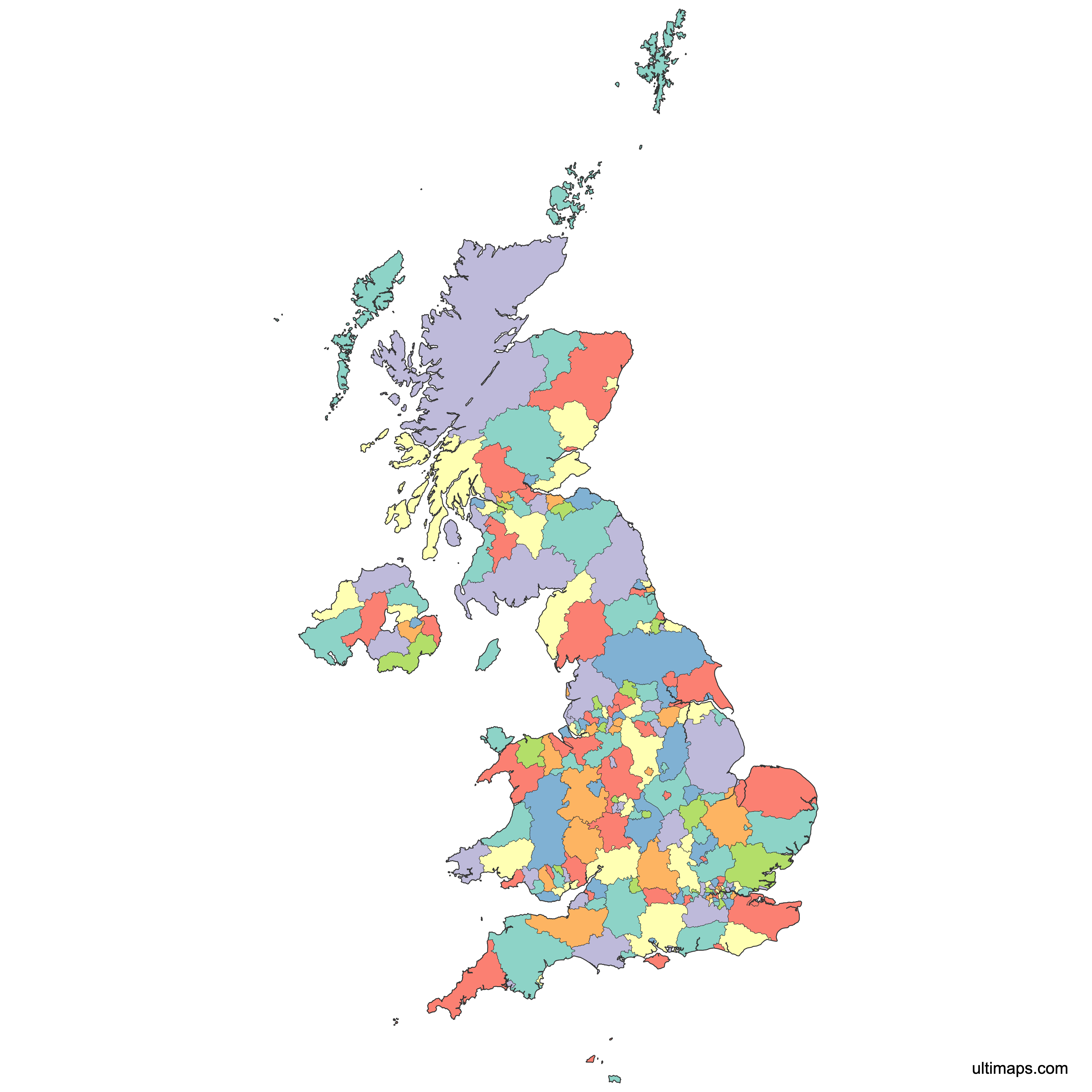
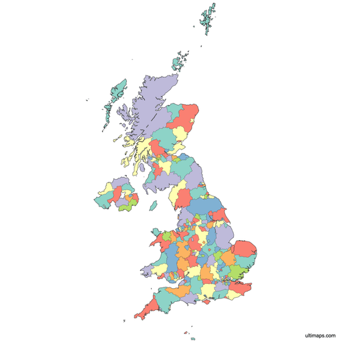 Colored United Kingdom Map with Counties and Crown Dependenciespng814 KB
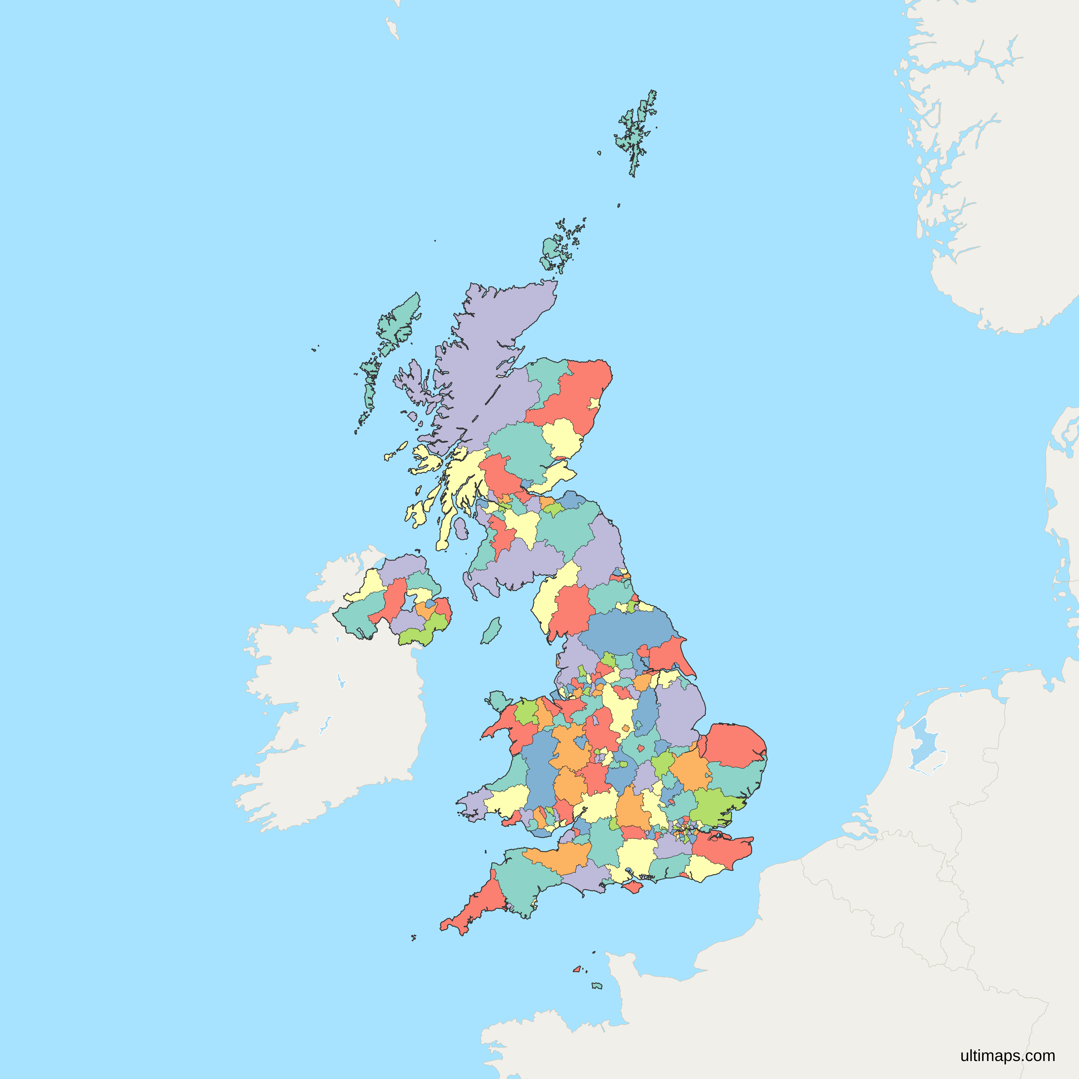
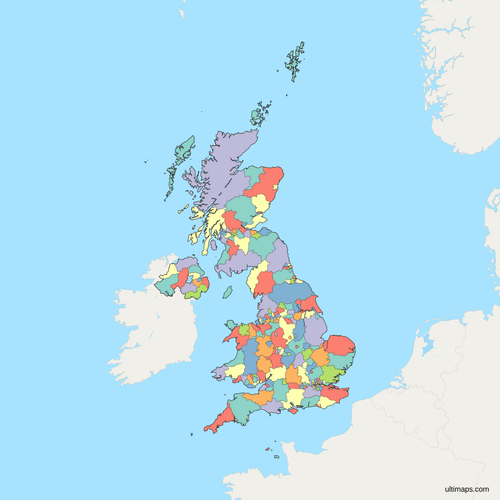 Political Map of the United Kingdom with Counties and Crown Dependenciespng961 KB
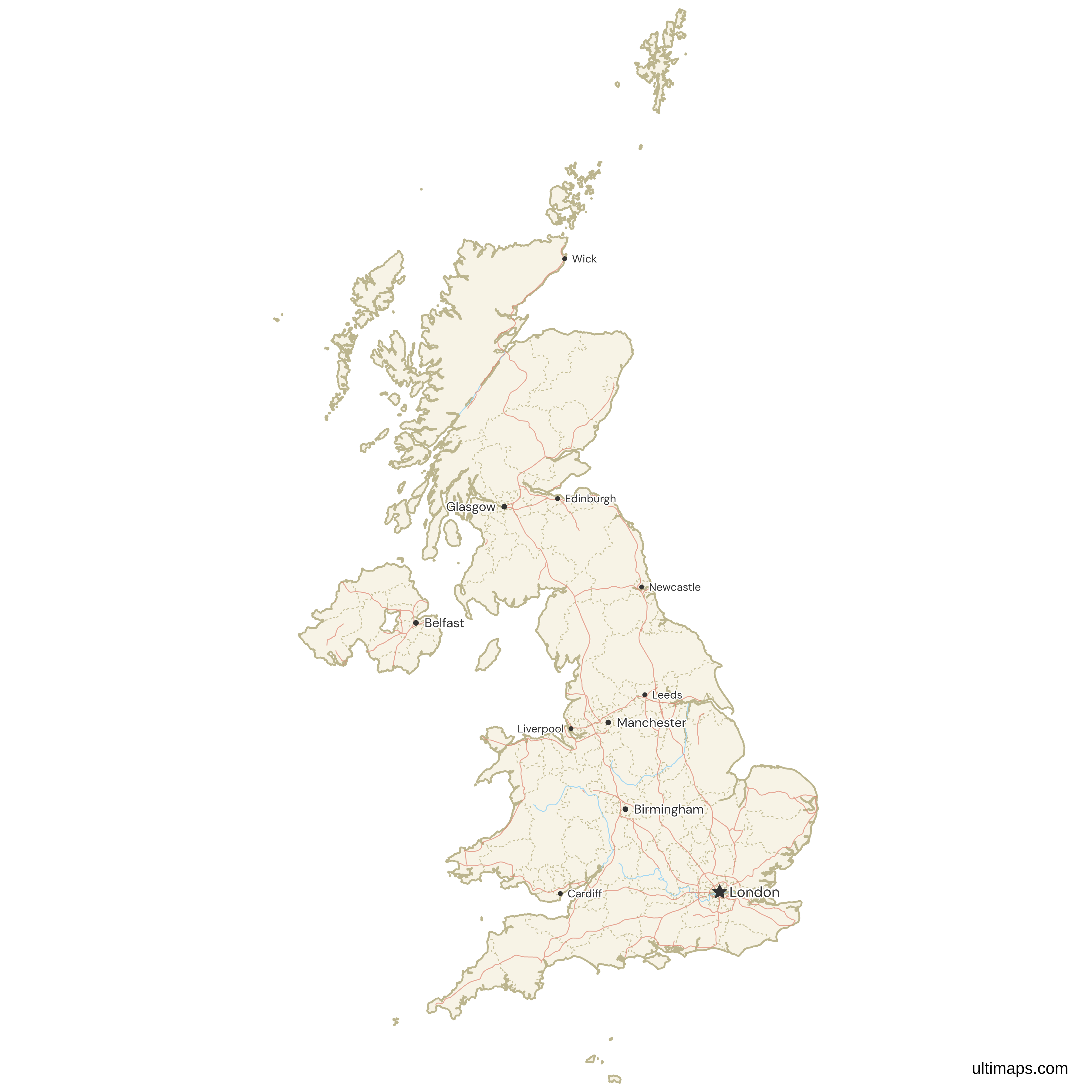
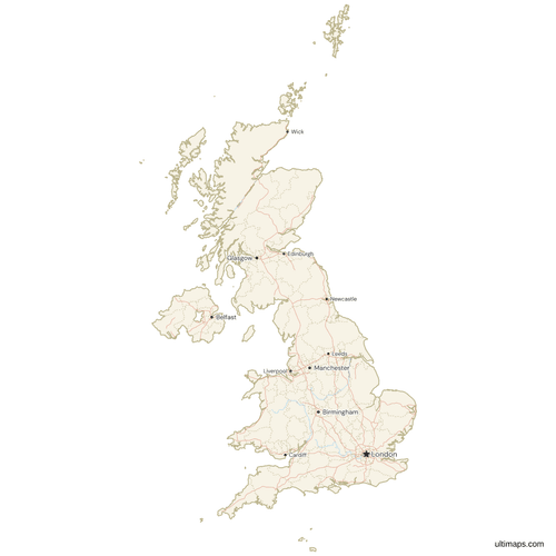 Map of the United Kingdom with Cities and Roadspng853 KB
Need it without colors? The blank version of this map comes as a print-ready PDF (A4 and US Letter), a PNG and an editable SVG.
Custom Map Features
This map supports surrounding areas, roads, rivers and cities. New
This map is divided into 221 counties.
Updates
August 21, 2026:
- Added map of United Kingdom counties and Crown Dependencies
Frequently Asked Questions
The map includes 221 regions in total. 218 of them are the counties and unitary authorities of the United Kingdom: 153 in England, 32 in Scotland, 22 in Wales, and 11 in Northern Ireland, following the ONS December 2024 boundary set. The remaining 3 are the Crown Dependencies: the Isle of Man in the Irish Sea, and Jersey and Guernsey in the English Channel. Each of the 221 regions can be selected, colored, and labeled individually, so a dataset scoped to the UK and Crown Dependencies maps onto it without any gaps.
No. The Isle of Man, Jersey, and Guernsey are Crown Dependencies: self-governing possessions of the British Crown that have never been part of the United Kingdom. Each has its own parliament, government, courts, and tax system, and the UK is responsible only for their defense and international representation. They are also not members of the Commonwealth in their own right and were never part of the European Union. Most UK county maps leave them out for exactly this reason, which is why this map exists as a separate variant that includes all three alongside the 218 UK counties and unitary authorities.
The standard United Kingdom counties map shows the 218 counties and unitary authorities of the UK and nothing else. This variant adds the Isle of Man, Jersey, and Guernsey as three extra colorable regions, for 221 in total. Choose this version when your data covers the UK and Crown Dependencies together, which is common for insurance, broadcasting, distribution, and regulatory coverage maps. Choose the standard version when your data is scoped strictly to the United Kingdom, since the extra islands would otherwise sit empty on the map.
Highland is the largest region on the map at 9,907 square miles (25,657 km², ONS Standard Area Measurements). It covers the north of Scotland, including Inverness, Loch Ness, and Ben Nevis, and is larger than Wales by land area. Highland alone accounts for roughly a tenth of the map's total land. The smallest region is the City of London at 1.12 square miles (2.9 km²). Among the Crown Dependencies, the Isle of Man is the largest at 221 square miles (572 km², Isle of Man Government), followed by Jersey at 46.2 square miles (119.6 km², Statistics Jersey).
Birmingham is the most populated region on the map with 1,144,900 residents (2021 census), which makes it the largest single local authority in the United Kingdom. Leeds follows with about 812,000 (2021 census). London as a whole is far bigger, at around 8.8 million (2021 census), but it appears on this map as 33 separate regions, the 32 boroughs plus the City of London, rather than one region, so no single London unit outranks Birmingham. Among the Crown Dependencies, Jersey has the largest population at 103,267 (2021 census), ahead of the Isle of Man at 84,069.
Open the map in the Ultimaps editor and start assigning colors. You can color each of the 221 regions by hand, or paste a spreadsheet of values and let the editor shade every county and dependency from your data. Pins mark offices, sites, or any point locations, and labels, tooltips, and legend entries are editable. The style controls cover fills, borders, backgrounds, and fonts. When the map is ready, export it as a PNG, PDF, or SVG file, embed it on a website, or share it as an interactive link. No sign-up is required to build and export a map.
Gibraltar, Bermuda, the Falkland Islands, and the other British Overseas Territories are a different category from the Crown Dependencies and sit far outside the map frame. The 14 Overseas Territories are scattered across the globe, from the Caribbean to the South Atlantic and the Pacific, so no single map of the British Isles region can show them at a usable scale. The Crown Dependencies, by contrast, lie within sight of the UK coastline: the Isle of Man between Great Britain and Ireland, and the Channel Islands just off Normandy. This map therefore covers the UK plus the three Crown Dependencies only.
The Isle of Man, Jersey, and Guernsey each issue their own version of the pound: the Manx pound, the Jersey pound, and the Guernsey pound. All three circulate at par with the British pound sterling, and UK banknotes are accepted throughout the islands. The local notes, however, are not legal tender in the United Kingdom itself. The islands also set their own income and corporate tax rates, which is a large part of why finance is the dominant industry in Jersey, Guernsey, and the Isle of Man, and why datasets about them often need a map that shows them explicitly.