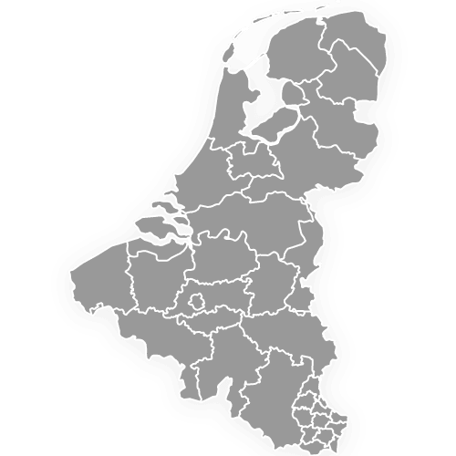
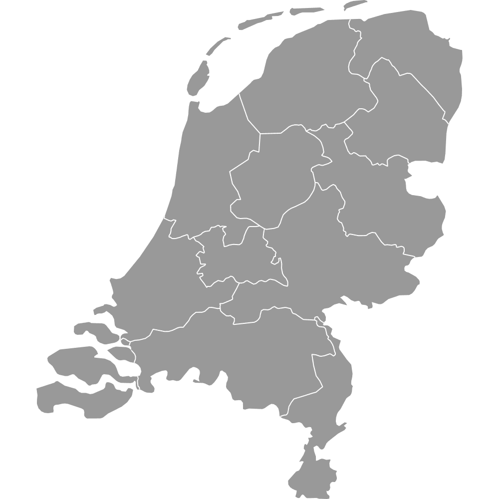
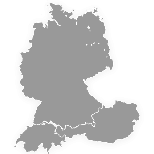
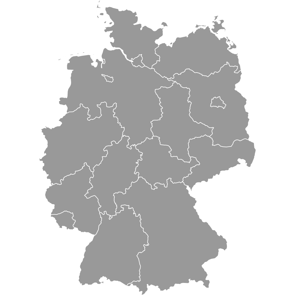
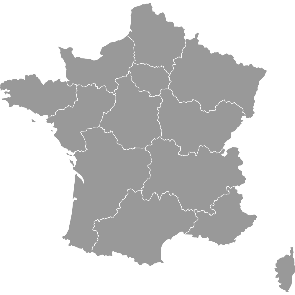
Benelux Map
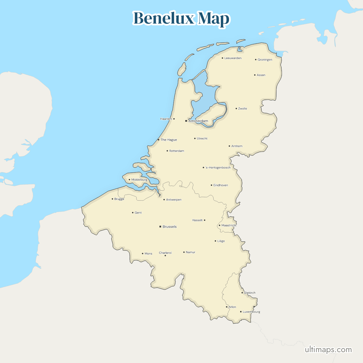
This map of the Benelux shows all 3 countries, Belgium, the Netherlands and Luxembourg, which signed their customs convention in London in September 1944. France and Germany are drawn in gray, and the Caribbean islands of the Kingdom of the Netherlands are not shown. The three cover 66,738 km² of land in all (World Bank, 2024). The Netherlands has 18.1 million residents and Luxembourg 0.7 million (World Bank, 2025).
Open the map in the free Ultimaps editor to make your own custom map of the Benelux. You can color the countries by your data, add pins and labels, and share or embed the finished map.
Interactive Benelux Map
List of Countries (3)
| # | Country | Capital | Population (2025) | GDP per capita (US$, 2024) | Land area (km², 2024) |
|---|---|---|---|---|---|
| 1 | Belgium | Brussels | 11,941,781 | 56,582 | 30,494.22 |
| 2 | Luxembourg | Luxembourg | 686,970 | 137,782 | 2,574.46 |
| 3 | Netherlands | Amsterdam | 18,087,633 | 67,465 | 33,670 |
Data sources:
- Capital: Ultimaps, compiled from national constitutions and statutes (cross-checked against Natural Earth). License: facts compiled by Ultimaps, CC BY 4.0.
- Population: World Bank, World Development Indicators (SP.POP.TOTL). License: CC BY 4.0.
- GDP per capita: World Bank, World Development Indicators (NY.GDP.PCAP.CD). License: CC BY 4.0.
- Land area: World Bank, World Development Indicators (AG.LND.TOTL.K2). License: CC BY 4.0.
Benelux Countries: Key Facts
- Members: Belgium, the Netherlands and Luxembourg, 3 countries in all.
- Definition: the three parties to the 1944 customs convention, the 1958 Benelux Economic Union treaty and the 2008 treaty that renamed it the Benelux Union.
- Combined population: 30,716,384 people (World Bank, 2025).
- Population range: Belgium, with 11,941,781 people, sits between Luxembourg at 686,970 and the Netherlands at 18,087,633 (World Bank, 2025).
- Land area: the Netherlands is the largest at 33,670 km² and Belgium follows at 30,494 km², while Luxembourg is the smallest by a wide margin at 2,574 km² (World Bank, 2024).
- GDP per capita: Luxembourg leads at 137,782 US$, ahead of the Netherlands at 67,465 US$ and Belgium at 56,582 US$ (World Bank, 2024).
- Capitals: Brussels is the capital of Belgium. Amsterdam is the capital of the Netherlands, and its government sits in The Hague. The city of Luxembourg is the capital of Luxembourg.
- Land borders: Germany borders all three members and France borders Belgium and Luxembourg. Belgium and the Netherlands share a border, and Luxembourg lies between Belgium, France and Germany. The larger neighbors have their own pages, the Germany map and the France map.
- Coast: the Netherlands and Belgium face the North Sea. Luxembourg is landlocked.
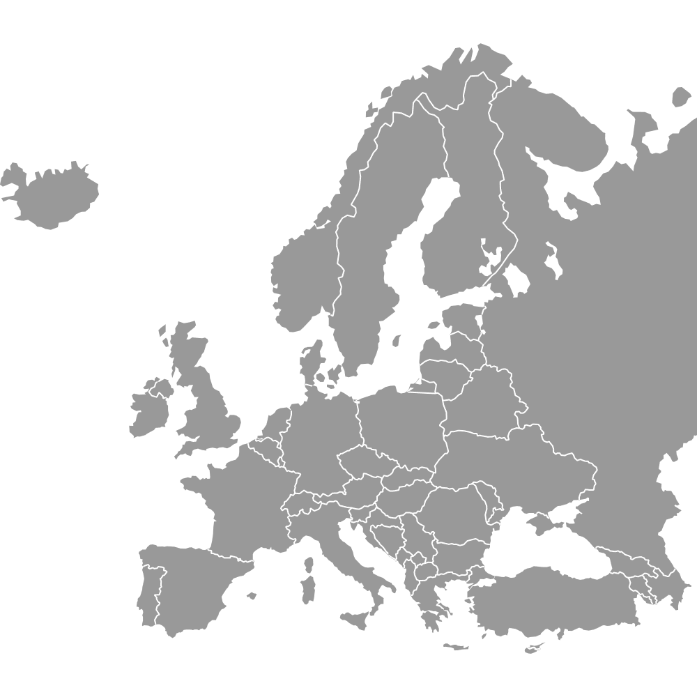
- Gray surroundings: France, Germany, the United Kingdom and the rest of Europe in the frame are drawn in gray, and all of them appear on the Europe map.
Interesting Facts
- The IJsselmeer with the Markermeer is drawn as water, so the Flevopolder, the reclaimed southern part of Flevoland province, appears as a separate piece of land.
- The Baarle enclaves on the Belgian-Dutch border are too small for the map's source and are not drawn.
- Luxembourg's 686,970 people are about 2 percent of the Benelux total of 30,716,384, roughly 1 in 45 (World Bank, 2025).
Free Downloads
Free for personal and commercial use with a credit to Ultimaps. See the license terms for details.
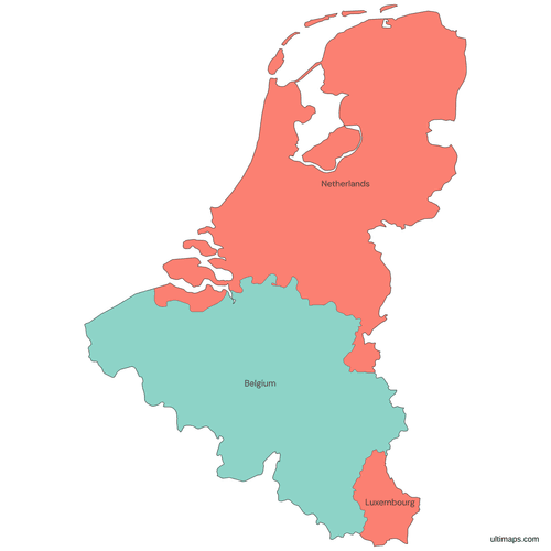 Colored Benelux Mappng352 KB
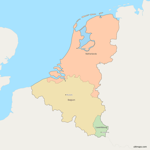 Political Map of the Benelux with Countriespng417 KB
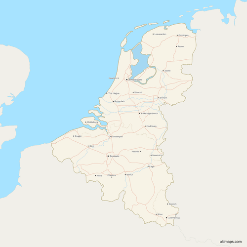 Map of the Benelux with Cities and Roadspng699 KB
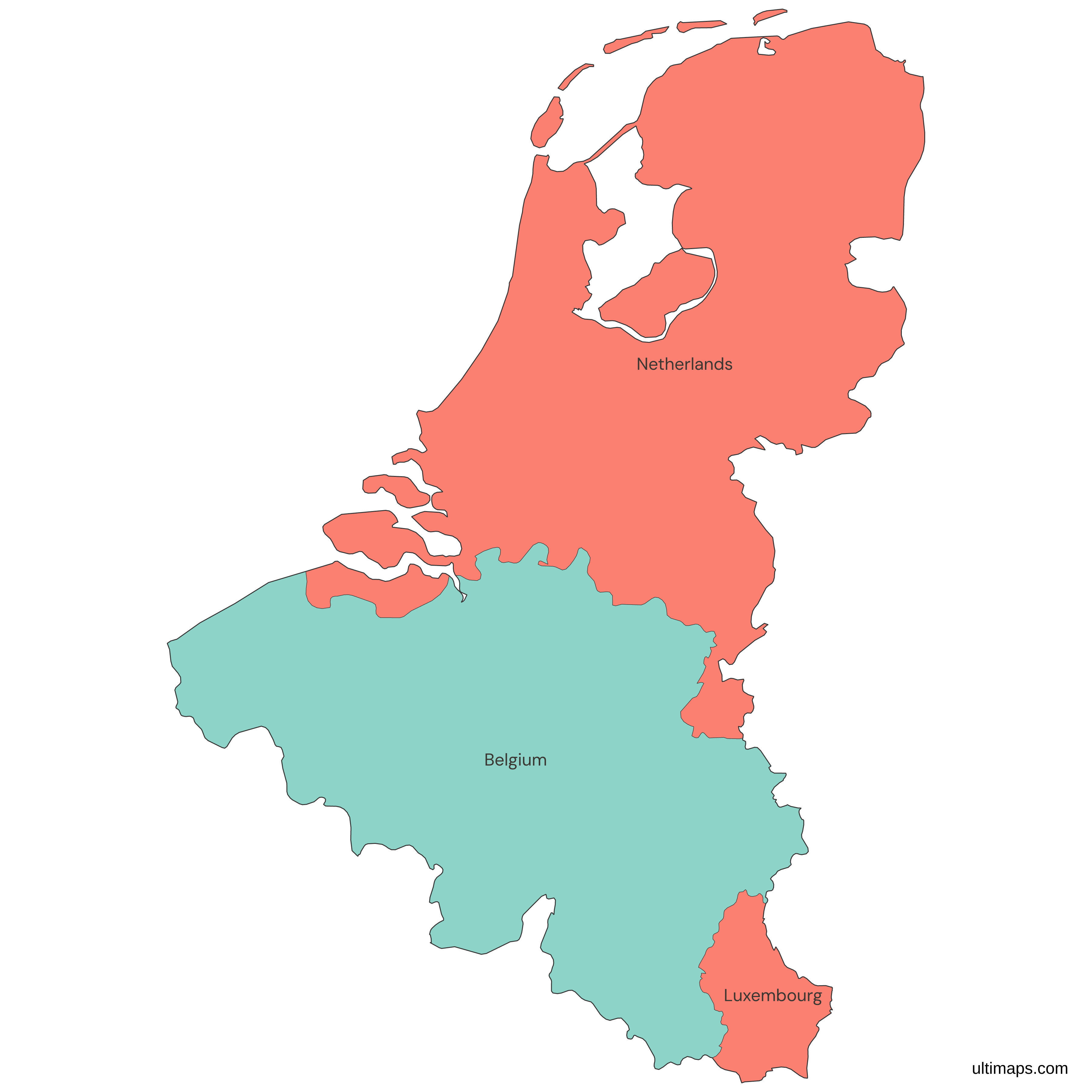
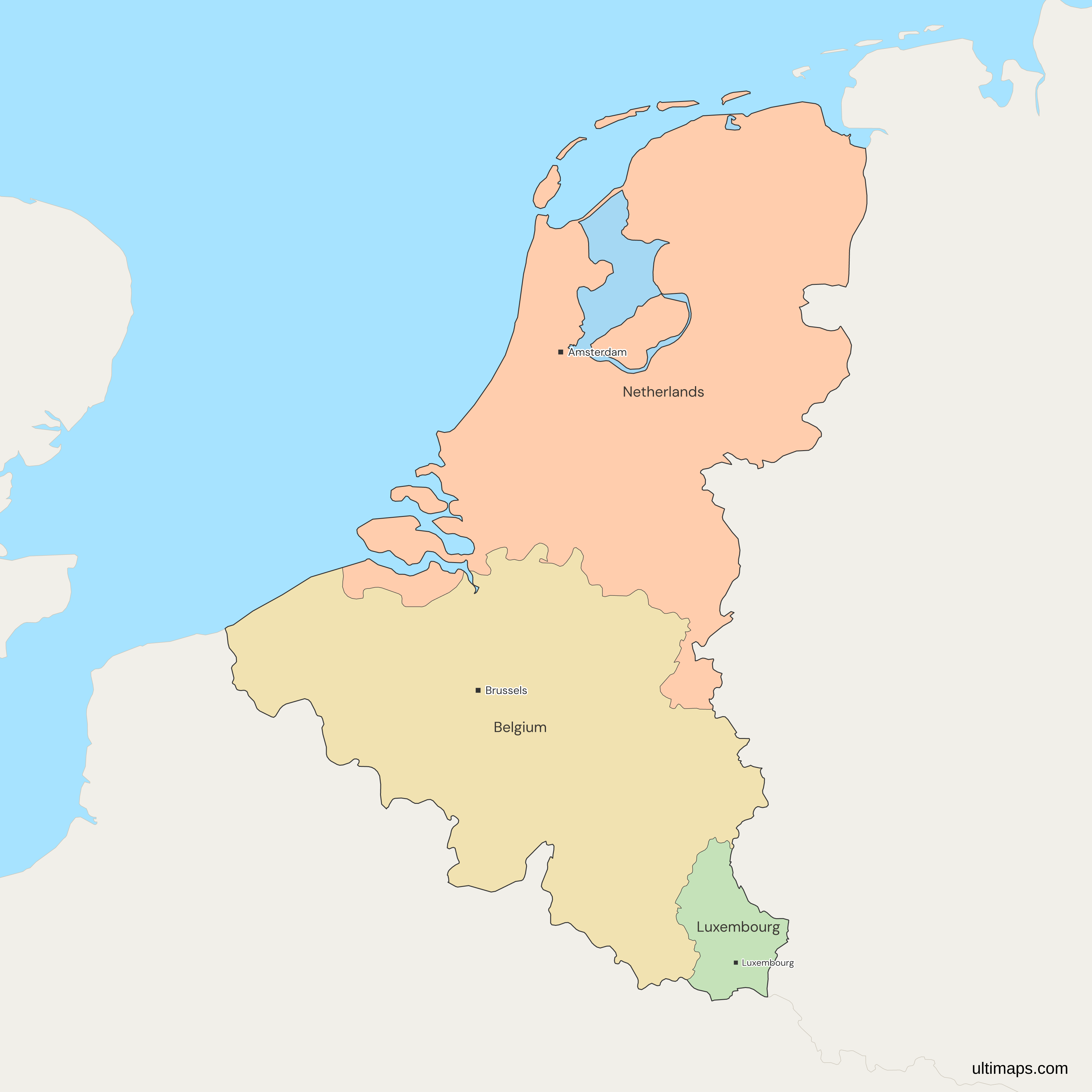
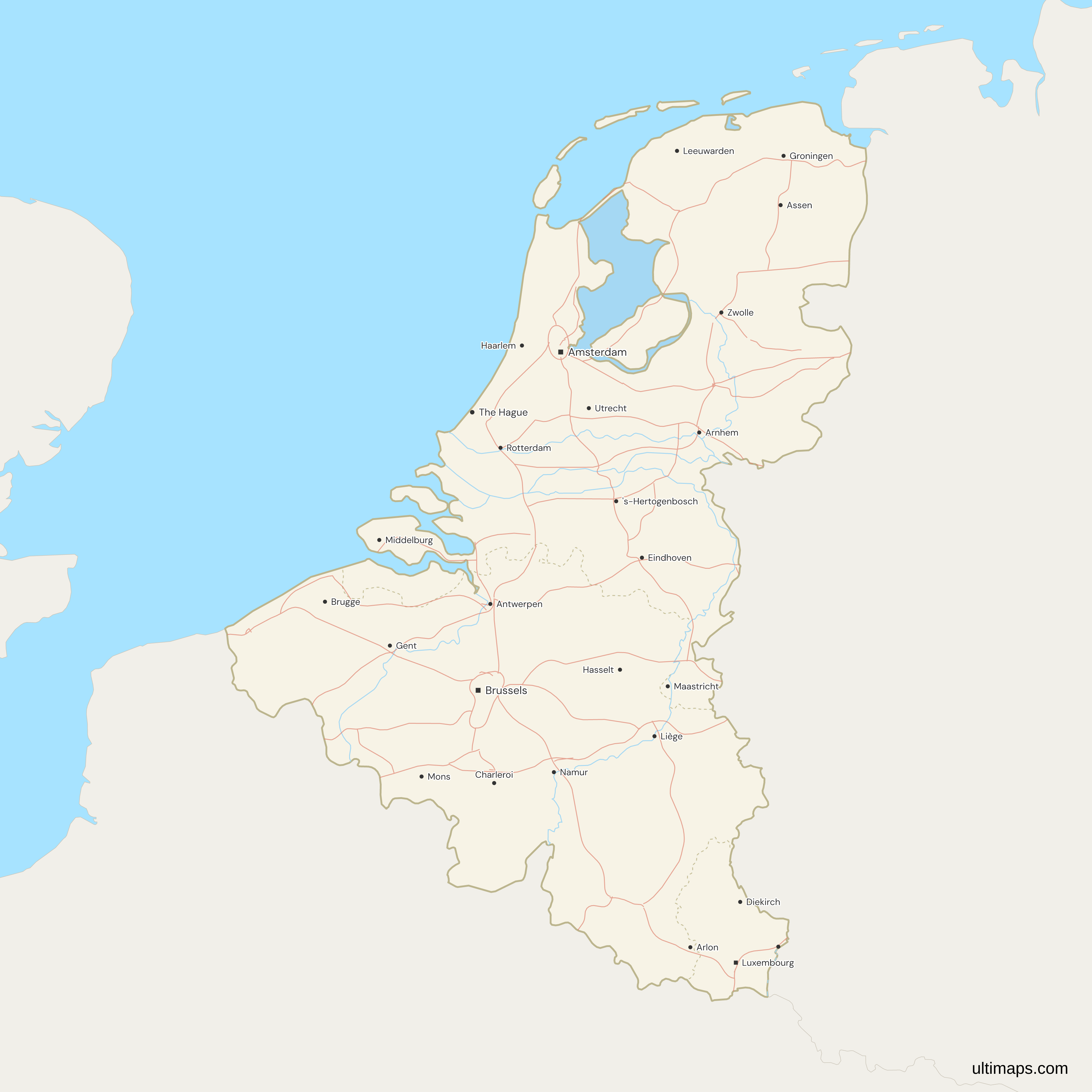
Need it without colors? The blank version of this map comes as a print-ready PDF (A4 and US Letter), a PNG and an editable SVG.
Custom Map Features
This map supports labels.
This map supports surrounding areas, roads, rivers and cities. New
This map is divided into 3 countries.
Updates
Nov 5, 2026:
- Added map of Benelux countries
Frequently Asked Questions
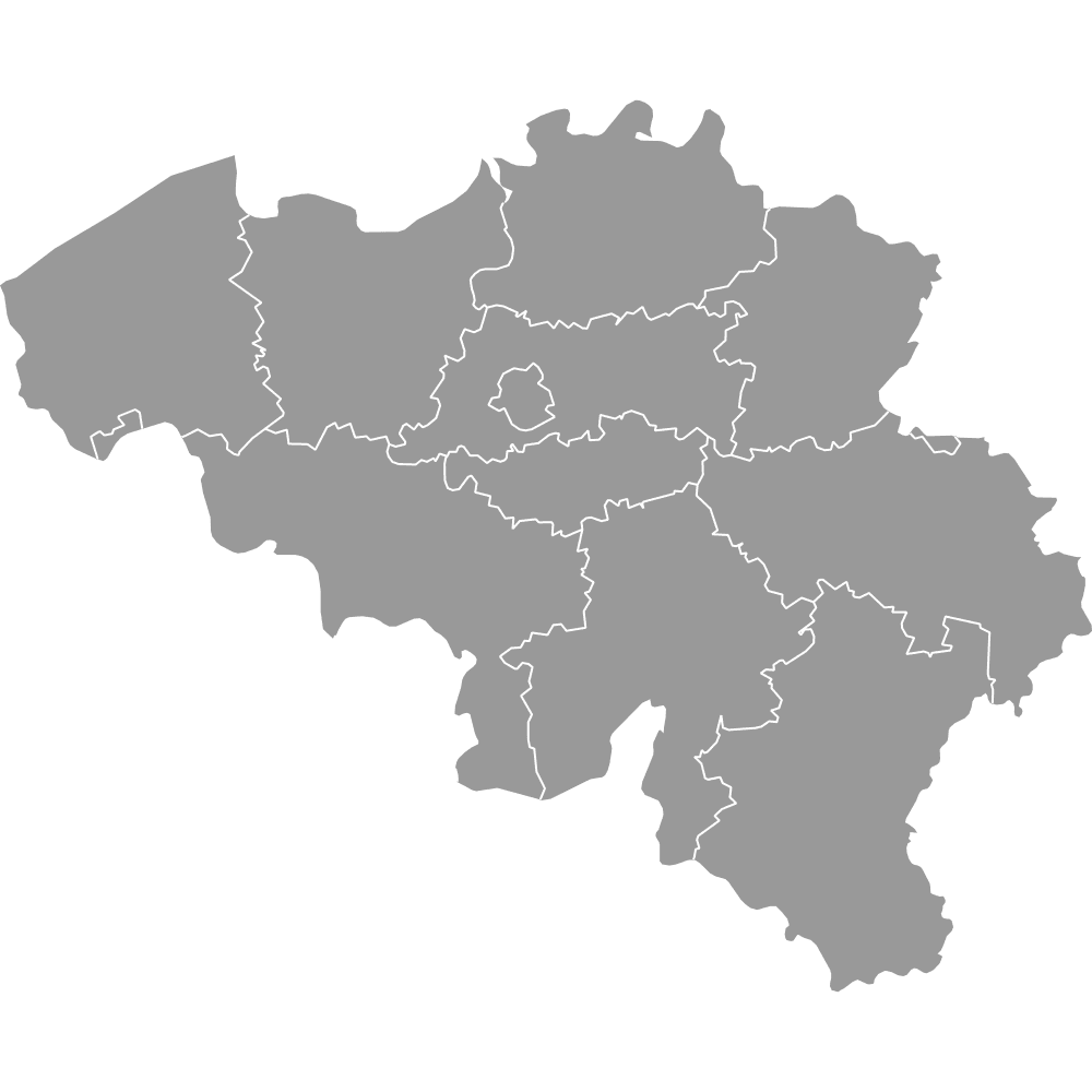
The Benelux is made up of Belgium, the Netherlands and Luxembourg, the 3 countries on this map. The Benelux lies in northwestern Europe, between France, Germany and the North Sea: Belgium sits in the middle, the Netherlands lies to its north and Luxembourg to its southeast. Belgium, the Netherlands and Luxembourg are neighbors, and Belgium is the only one that borders both of the others. Germany lies along the eastern side of all three. The Benelux provinces and cantons map draws the regions inside them.
The Benelux Union is the intergovernmental union of Belgium, the Netherlands and Luxembourg. It grew out of the customs convention signed in London on 5 September 1944. The Benelux Economic Union treaty was signed on 3 February 1958, and a new treaty signed on 17 June 2008 renamed it the Benelux Union and entered into force on 1 January 2012. The name joins the first syllables of the three countries' names: BElgium, NEtherlands and LUXembourg. Besides the internal market and economic union, the treaty covers sustainable development and justice and home affairs.
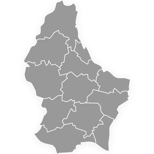
Luxembourg is a sovereign country, a grand duchy in western Europe. It borders Belgium to the west and north, France to the south and Germany to the east, and it has no coast. Belgium also has a province named Luxembourg, which borders the country, but this map draws only the Grand Duchy. Luxembourg is the only landlocked Benelux member, and with 686,970 people it is also the least populous (World Bank, 2025). The city of Luxembourg is its capital, and the country's 12 cantons appear on the Luxembourg map with cantons.
The Benelux and the Low Countries overlap, but they are not the same thing. The Benelux is a treaty grouping of three states, Belgium, the Netherlands and Luxembourg. The Low Countries is the older geographic and historical name for the region, and historically it also took in parts of northern France and western Germany. This map follows the treaty grouping, so France and Germany are drawn in gray. Holland is a separate matter: it names two of the Netherlands' 12 provinces, North Holland and South Holland, not the country.
No. The map draws the European Netherlands. Bonaire, Sint Eustatius and Saba, which are special municipalities of the Netherlands, are cropped out. Aruba, Curaçao and Sint Maarten are separate countries within the Kingdom of the Netherlands, and none of these six islands belongs to the Benelux. Two small uninhabited Wadden islands, Rottumerplaat and Rottumeroog, are below the map's size floor or missing from its source and are not drawn. The five inhabited Wadden islands, Texel, Vlieland, Terschelling, Ameland and Schiermonnikoog, are drawn.
The Benelux Union is a separate treaty organization, but Belgium, the Netherlands and Luxembourg are all members of the European Union. The three were among its six founding states, together with France, Germany and Italy. The Benelux customs convention of 1944 is older than the European Coal and Steel Community of 1951, the first of the European communities, so the smaller union came first. France and Germany, drawn in gray on this map, are also EU members, as are most of the countries around the frame. For the whole union, use the Europe map.
Start from this map in the free Ultimaps editor, which needs no account. Color each country by hand with a click, or upload a table with one row per country and its value. Luxembourg is small on the map, so check that its row matches by name. Add pins and labels, then share the finished map by link or embed it on a website. A free export is a standard PNG with a small Ultimaps credit. High-resolution PNG, SVG and PDF export are Pro features.