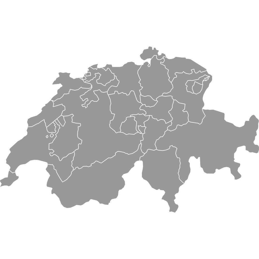
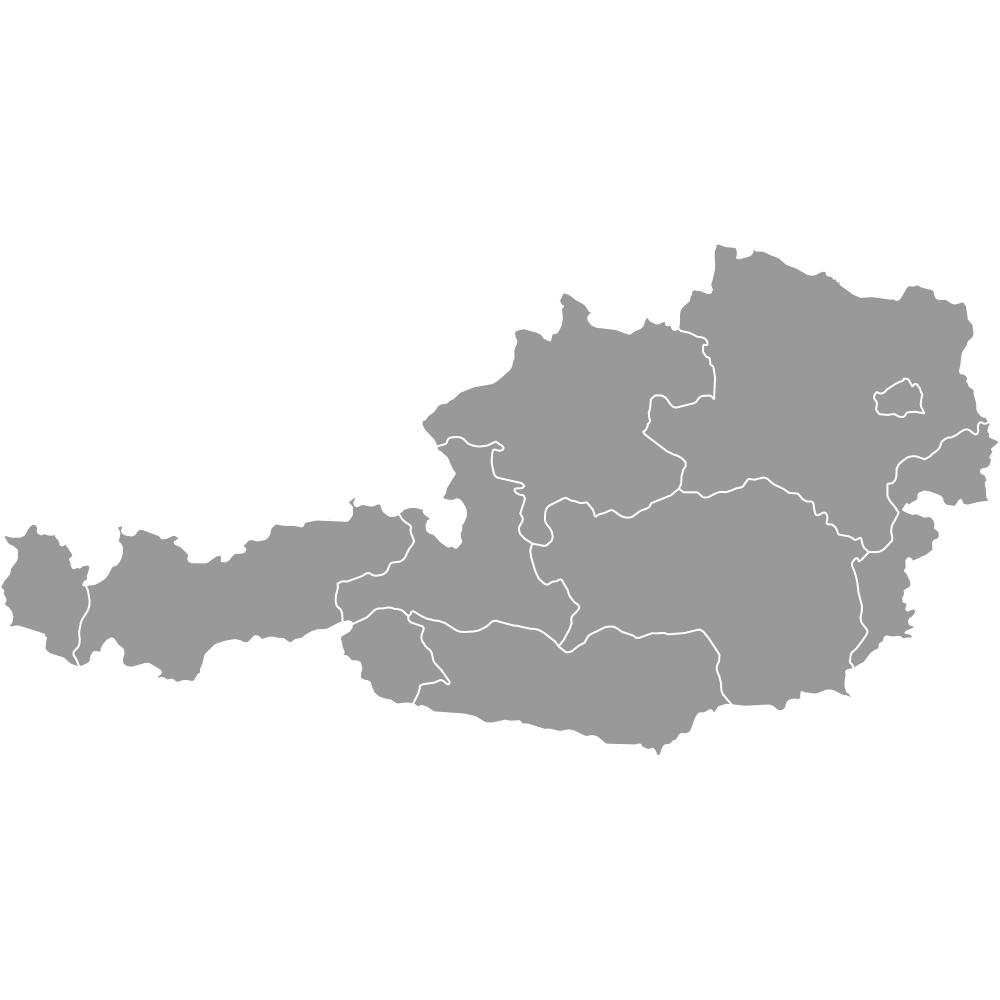
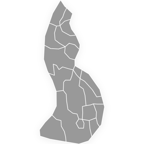
DACH Region Map
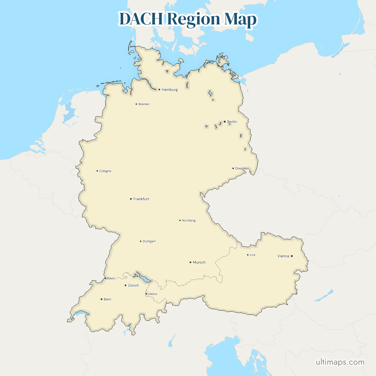
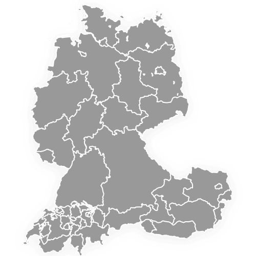
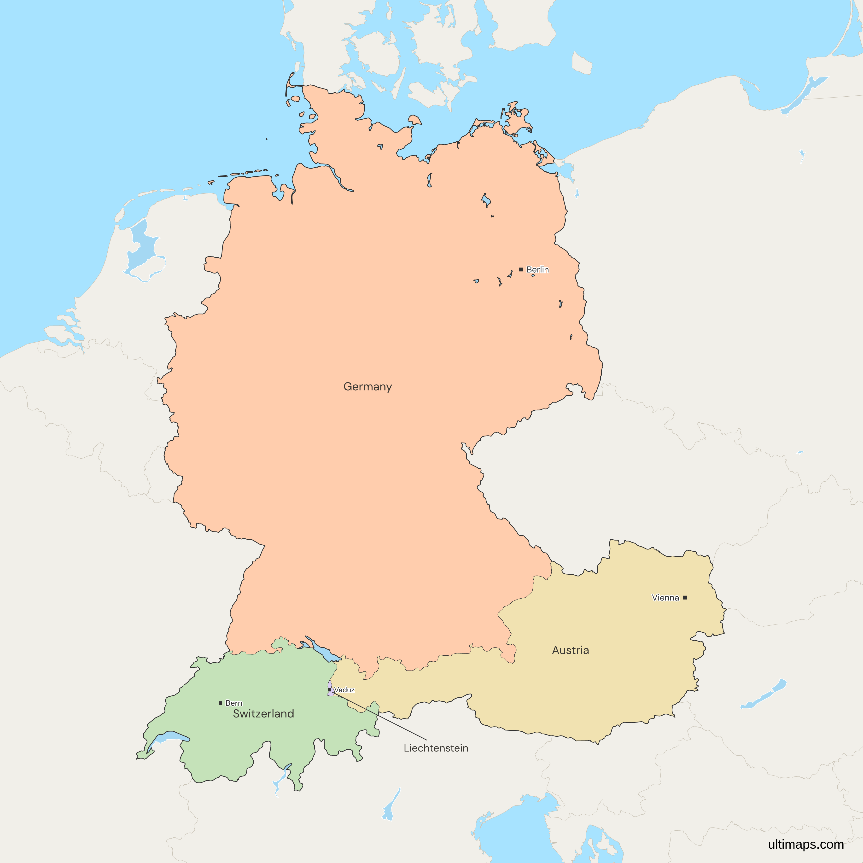
This map of the DACH region shows all 4 countries, Germany, Austria, Switzerland and Liechtenstein. The name D-A-CH comes from the international vehicle codes D, A and CH, and Liechtenstein, whose code is FL, is the one country here that the acronym leaves out. Belgium and Luxembourg, where German is also official, and the other neighbors are drawn in gray, so this is not a map of all German-speaking countries. The four countries have 101.8 million people together (World Bank, 2025).
Open the map in the free Ultimaps editor to make your own custom map of the DACH region. You can color the countries by your data, add pins and labels, and share or embed the finished map.
Interactive DACH Region Map
List of Countries (4)
| # | Country | Capital | Population (2025) | GDP per capita (US$, 2024) | Land area (km², 2024) |
|---|---|---|---|---|---|
| 1 | Austria | Vienna | 9,208,163 | 58,269 | 82,520 |
| 2 | Germany | Berlin | 83,491,249 | 56,104 | 349,430 |
| 3 | Liechtenstein | Vaduz | 41,024 | 220,167 | 160 |
| 4 | Switzerland | Bern | 9,092,436 | 107,702 | 39,509.63 |
Data sources:
- Capital: Ultimaps, compiled from national constitutions and statutes (cross-checked against Natural Earth). License: facts compiled by Ultimaps, CC BY 4.0.
- Population: World Bank, World Development Indicators (SP.POP.TOTL). License: CC BY 4.0.
- GDP per capita: World Bank, World Development Indicators (NY.GDP.PCAP.CD). License: CC BY 4.0.
- Land area: World Bank, World Development Indicators (AG.LND.TOTL.K2). License: CC BY 4.0.
DACH Region Countries: Key Facts
- Members: Germany, Austria, Switzerland and Liechtenstein. The first three are the D, A and CH of the name.
- Definition: DACH is a grouping of the vehicle codes, with no treaty body behind it, so it has no founding date. Companies use it for a sales market, and it names joint conferences and projects of the three states.
- Liechtenstein: Its vehicle code is FL. It is not in the European Union but belongs to the European Economic Area, and it shares a customs union with Switzerland. Its 11 municipalities are on the Liechtenstein map.
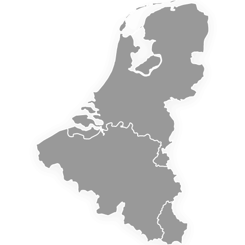
- German-speaking edges: German is also an official language in Belgium and Luxembourg, which are gray here, and in South Tyrol in Italy. See the Benelux map for the other two.
- Largest and smallest by land area: Germany has 349,430 km² (World Bank, 2024) and Liechtenstein has 160 km² (World Bank, 2024).
- Population: Germany 83.5 million, Austria 9.2 million, Switzerland 9.1 million and Liechtenstein 41,024, which makes 101.8 million together (World Bank, 2025).
- Income: GDP per capita in 2024 was 220,167 US$ in Liechtenstein, 107,702 US$ in Switzerland, 58,269 US$ in Austria and 56,104 US$ in Germany (World Bank).
- Seats of government: Berlin for Germany, Vienna for Austria and Vaduz for Liechtenstein. Switzerland names no capital in its constitution, and its parliament and government sit in Bern, the federal city.
- Borders: Outside the four, Germany borders Denmark, Poland, the Czech Republic, France, Luxembourg, Belgium and the Netherlands, Austria borders the Czech Republic, Slovakia, Hungary, Slovenia and Italy, and Switzerland borders France and Italy. Inside the group, Germany borders Austria and Switzerland, Austria and Switzerland border each other, and Liechtenstein borders only Austria and Switzerland.
- Coast: Germany is the only member with a sea coast, on the North Sea and the Baltic Sea. Besides the mainland, the map draws 20 German coastal parts, from Rügen to Heligoland: 18 islands and the Nordstrand and Wustrow peninsulas, which its source draws as islands.
- Lakes: Lake Constance, Lake Geneva and Lago Maggiore on the borders, and the Müritz and the Schweriner See inside Germany, stay outside every country's outline on this map.
Interesting Facts
- Germany has more than four times the people of Austria, Switzerland and Liechtenstein together (World Bank, 2025).
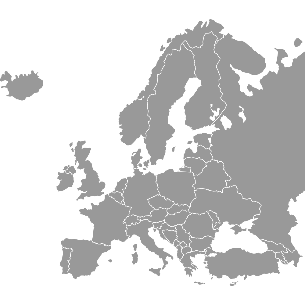
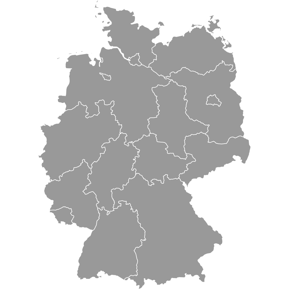
- For the 16 German states, 9 Austrian states and 26 Swiss cantons on one map, use the DACH map with states and cantons. For all of Europe, use the Europe map.
Free Downloads
Free for personal and commercial use with a credit to Ultimaps. See the license terms for details.
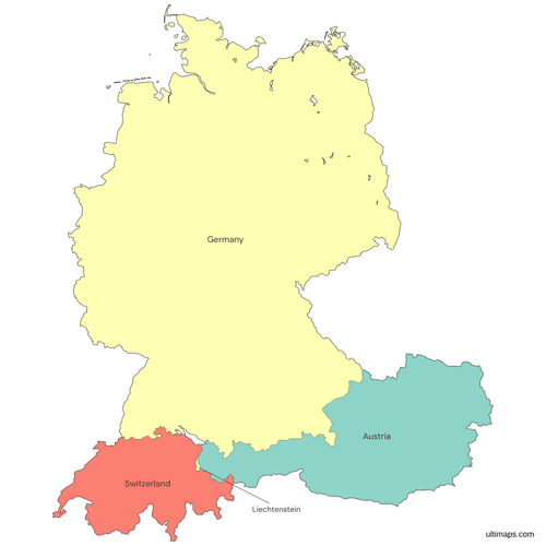 Colored DACH Region Mappng390 KB
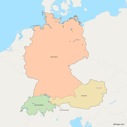 Political Map of the DACH region with Countriespng659 KB
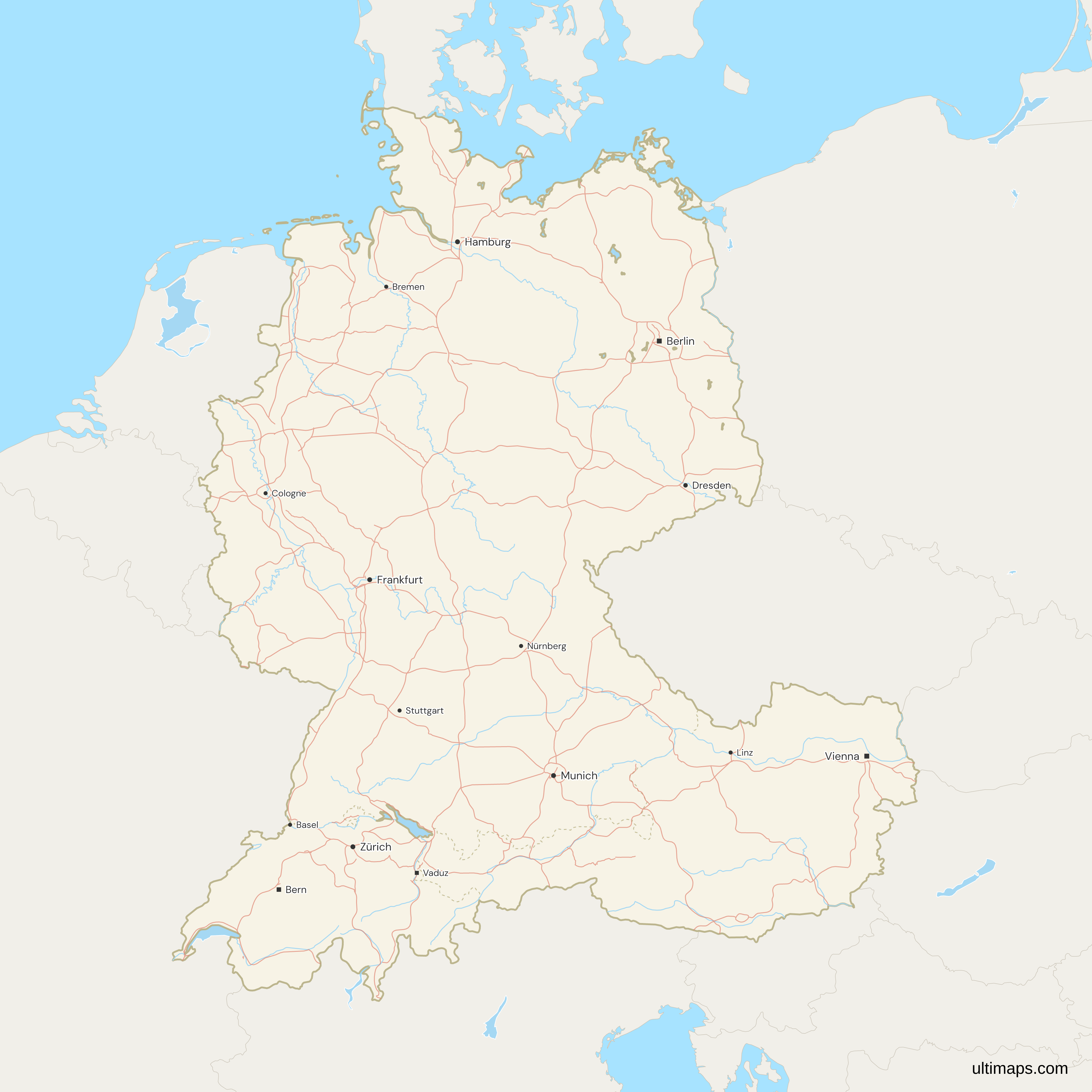
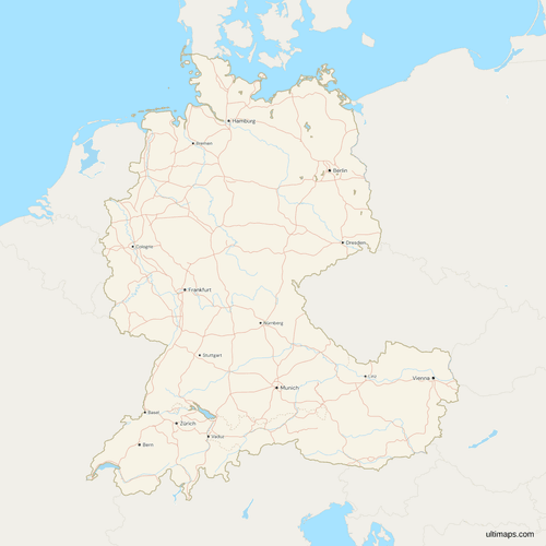 Map of the DACH region with Cities and Roadspng1103 KB
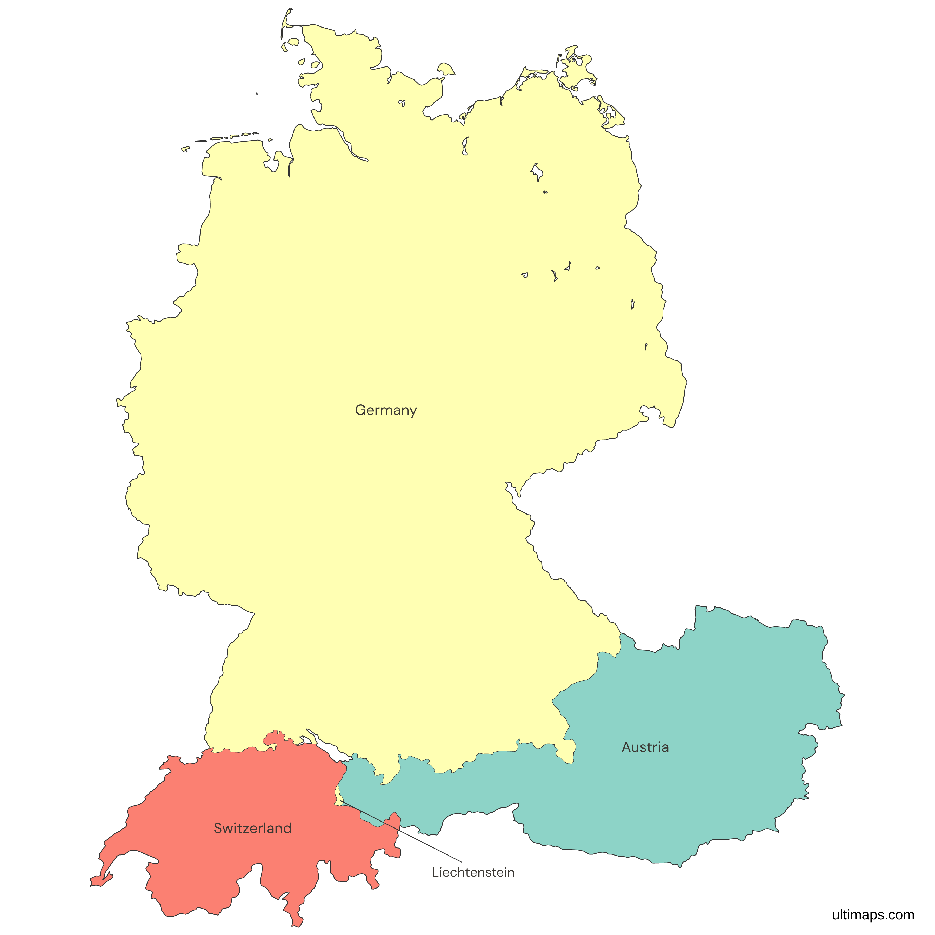
Need it without colors? The blank version of this map comes as a print-ready PDF (A4 and US Letter), a PNG and an editable SVG.
Custom Map Features
This map supports labels.
This map supports surrounding areas, roads, rivers and cities. New
This map is divided into 4 countries.
Updates
Nov 5, 2026:
- Added map of the DACH region countries
Frequently Asked Questions
The DACH region covers Germany, Austria and Switzerland, in that order, and the name takes its letters from their international vehicle codes. Liechtenstein, which lies between Switzerland and Austria, is drawn too. The seats of government of the four are Berlin, Vienna, Bern and Vaduz. Germany is the largest, with 349,430 km² of land (World Bank, 2024), and Liechtenstein is the smallest, with 160 km² (World Bank, 2024). For the states and cantons inside them, use the DACH map with states and cantons.
DACH stands for Germany, Austria and Switzerland, built from the international vehicle registration codes D for Deutschland, A for Austria and CH for Confoederatio Helvetica. Companies use it for a sales market, and it names joint conferences and projects of the three states. It is not a treaty, a union or an official body, so no date marks its founding, and nobody is formally a member or can join. Liechtenstein uses the code FL and is not in the acronym.
No. German is an official language in six countries: Germany, Austria, Switzerland, Liechtenstein, Belgium and Luxembourg. The DACH region covers only the first three. Belgium and Luxembourg are drawn in gray here. German is also official in South Tyrol, an Italian province, which lies inside gray Italy on this map and has no outline of its own. Switzerland is not German-speaking throughout either, because it has four national languages, German, French, Italian and Romansh, so French-speaking Geneva and Vaud and Italian-speaking Ticino lie inside the DACH region.
Liechtenstein is a sovereign principality of about 160 km² (World Bank, 2024), between Switzerland and Austria. It is not in the European Union but belongs to the European Economic Area, and it shares a customs union and the Swiss franc with Switzerland. Its language is German, and about 41,000 people live there (World Bank, 2025). The strict DACH name leaves it out, but this map draws it as a fourth country, between Switzerland and Austria. For its 11 municipalities, use the Liechtenstein map.
No. Austria and Germany are separate sovereign states, as are Switzerland and Liechtenstein. Austria is a republic with its own government, and its nine states are on the Austria map with states. Germany has 16 states, shown on the Germany map with states. The confusion comes from the shared language and from history, since Austria was part of Germany from 1938 to 1945. Austria regained its independence in 1945, and the State Treaty of 1955 restored its full sovereignty. Liechtenstein is likewise independent.
The DACH region has three countries by its usual definition: Germany, Austria and Switzerland. This map draws four, because it adds Liechtenstein, a small principality between Switzerland and Austria. The map shows no other country in color. Belgium, Luxembourg, France, Italy and the rest of the neighbors are drawn in gray, so a table you upload needs rows for the four countries only. Rows for countries outside the four have nothing to color, so leave them out of the table.
The free Ultimaps editor opens this map with no account needed. Click a country to color it by hand, or upload a table with one row per country and its value. Keep a row for Liechtenstein, even though it is a thin sliver between Austria and Switzerland. Add pins and labels, then share the finished map by link or embed it on a website. A free export is a standard PNG with a small Ultimaps credit. High-resolution PNG, SVG and PDF export are Pro features.