Spain and Portugal Map
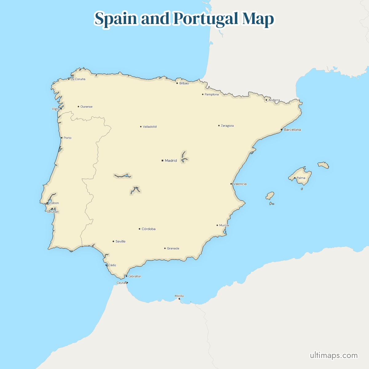
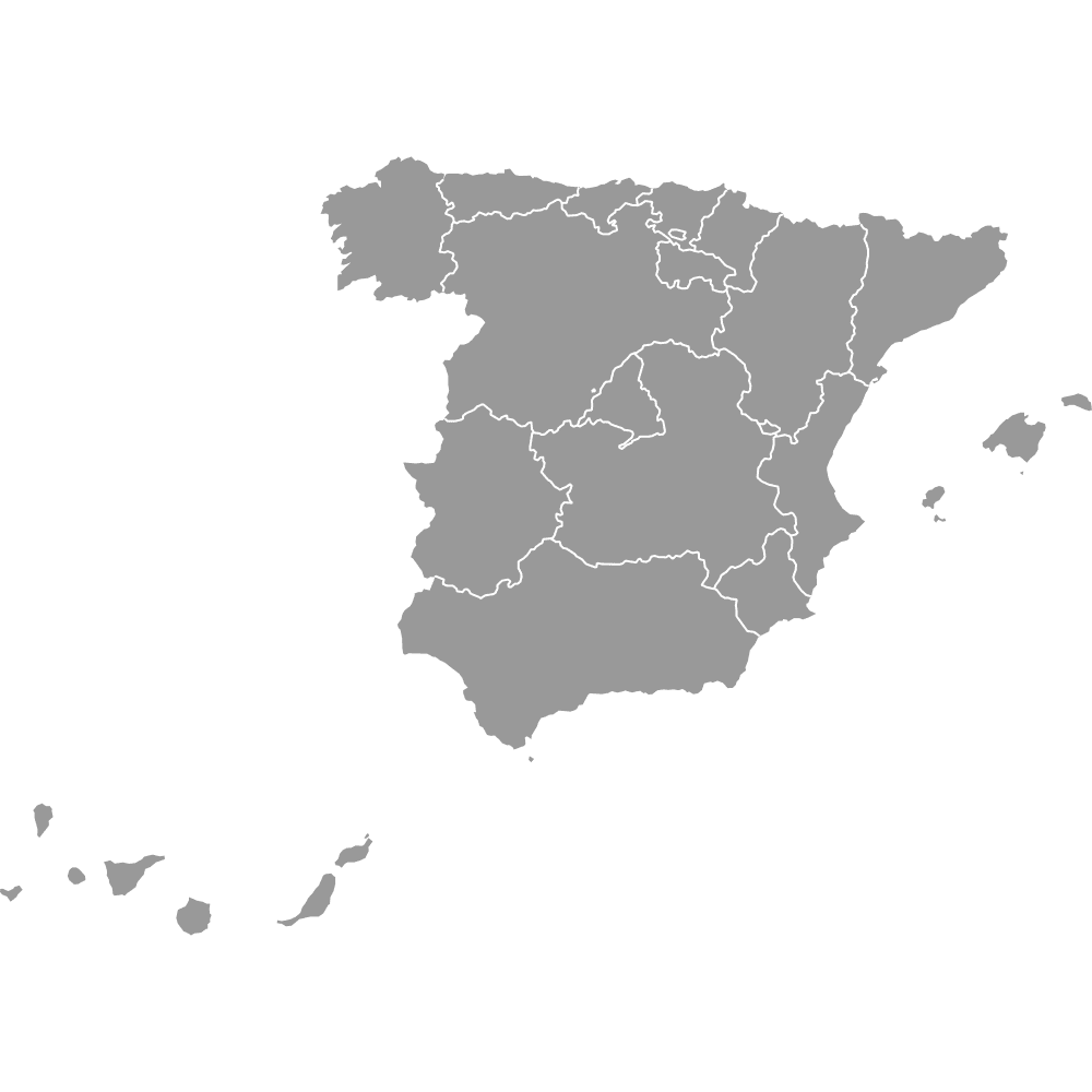
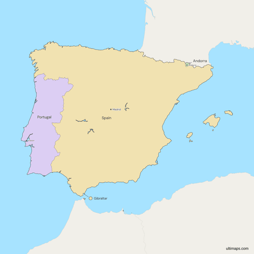
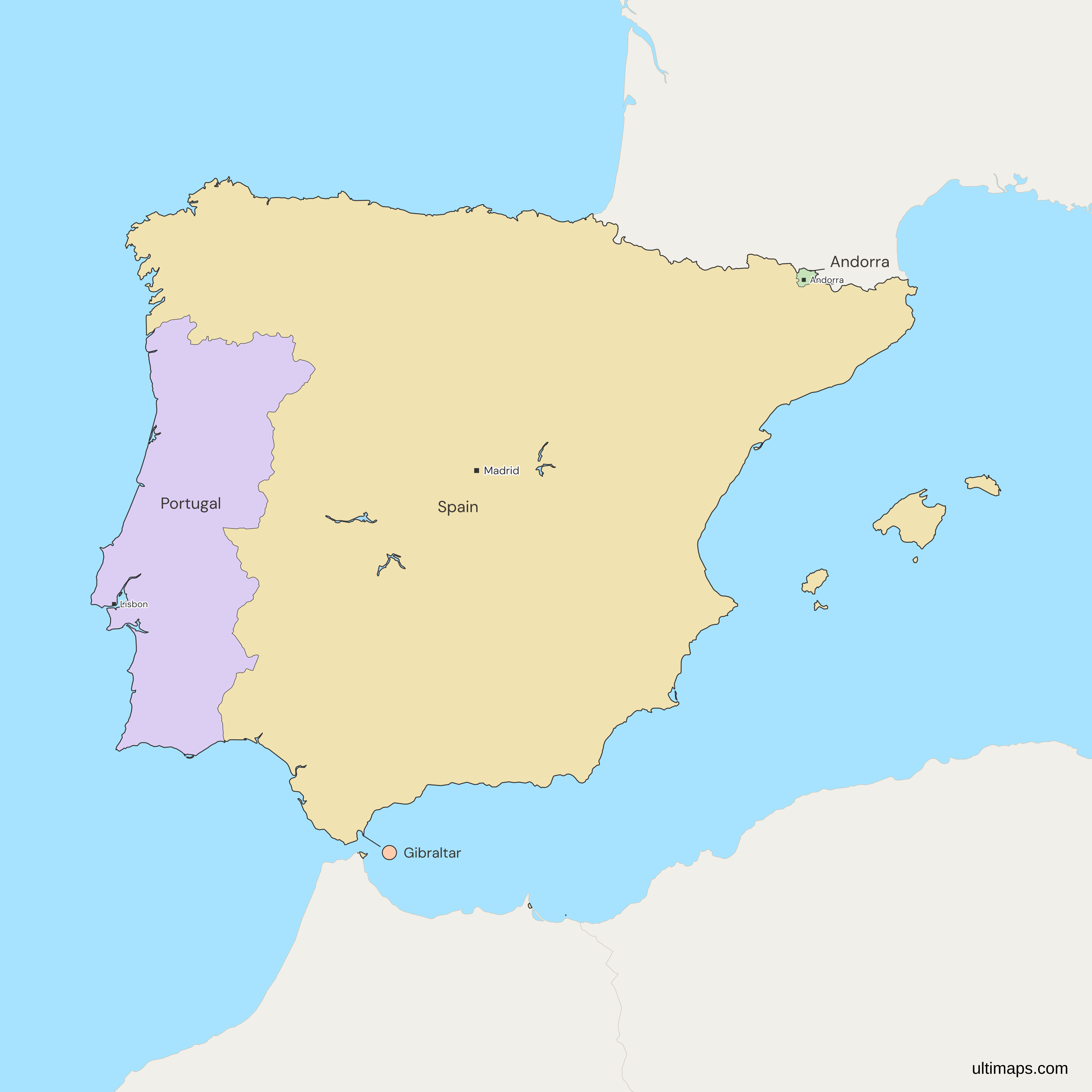
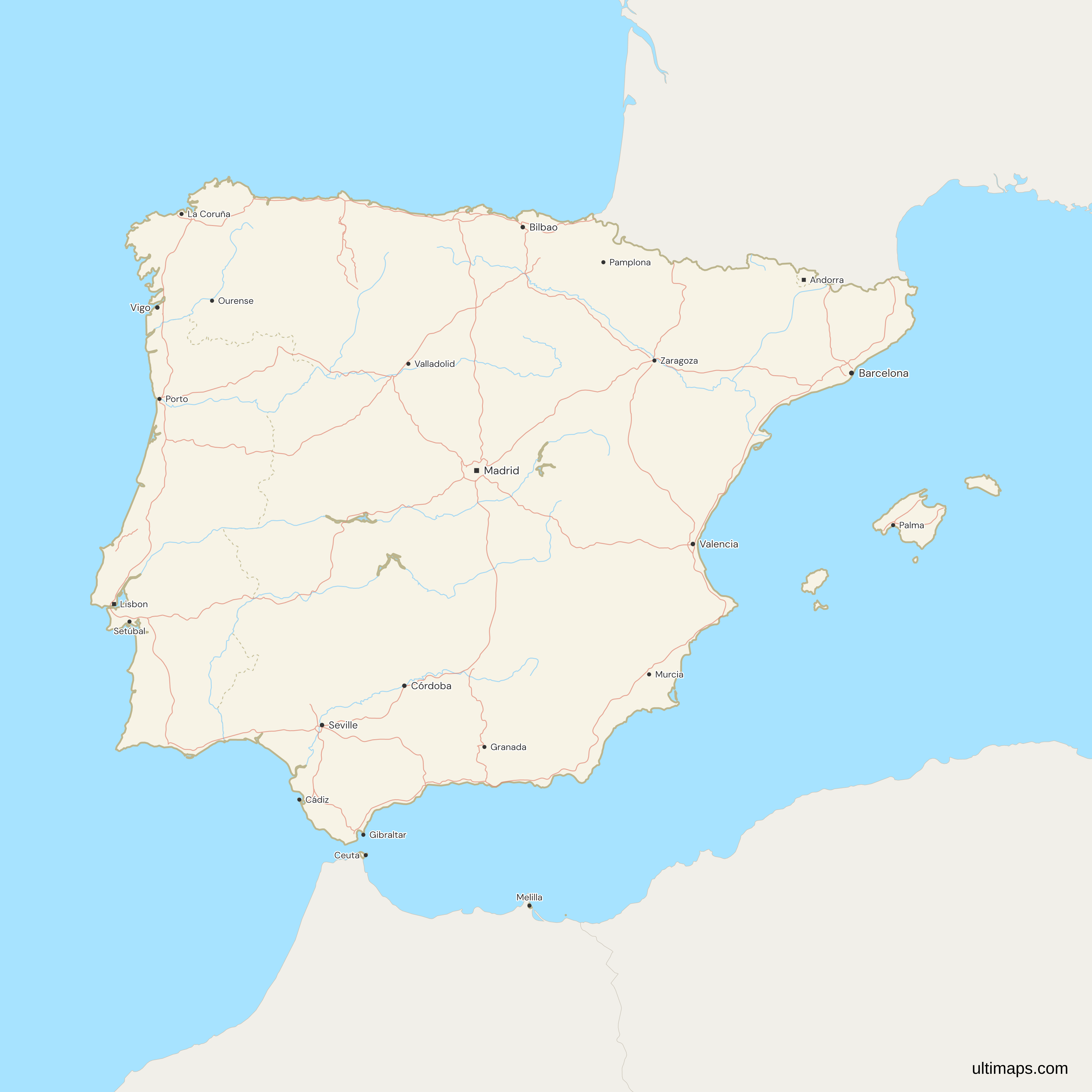
This map of Spain and Portugal shows Spain, Portugal and Andorra, and Gibraltar, a British Overseas Territory that Spain claims. The frame is the Iberian Peninsula plus the Balearic Islands, and the Canary Islands, Madeira and the Azores are outside it. The four have 60.3 million people (World Bank, 2025), 49.4 million of them in Spain. A small part of France also lies on the peninsula, but France is drawn in gray with Morocco and the other neighbors.
Open the map in the free Ultimaps editor to make your own custom map of Spain and Portugal. You can color the countries by your data, add pins and labels, and share or embed the finished map.
Interactive Spain and Portugal Map
List of Countries (4)
Data sources:
- Capital: Ultimaps, compiled from national constitutions and statutes (cross-checked against Natural Earth). License: facts compiled by Ultimaps, CC BY 4.0.
- Population: World Bank, World Development Indicators (SP.POP.TOTL). License: CC BY 4.0.
- GDP per capita: World Bank, World Development Indicators (NY.GDP.PCAP.CD). License: CC BY 4.0.
- Land area: World Bank, World Development Indicators (AG.LND.TOTL.K2). License: CC BY 4.0.
Spain and Portugal Countries: Key Facts
- Members: Spain, Portugal, Andorra and Gibraltar. The map has 4 regions, and each takes its own value. Gibraltar is a British Overseas Territory, not a country.
- Definition: The map follows the Iberian Peninsula and adds the Balearic Islands. The group has no legal status, so it carries no founding date.
- Edges: Some sources count a strip of southern France as Iberian, and the map draws all of France in gray. Morocco, Algeria and the rest of the frame are gray too. For all of Europe's countries on one map, use the Europe map.
- Capitals: Madrid (Spain), Lisbon (Portugal) and Andorra la Vella (Andorra). Gibraltar has no separate capital city and is listed under its own name.
- Largest and smallest by land area: Spain is the largest by land area, about 499,700 km² (World Bank, 2024, including the Atlantic islands the map crops), and Andorra the smallest, 468 km². By population Spain is largest and Gibraltar smallest, with 40,126 (World Bank, 2025).
- Population: The four have 60,283,044 people (World Bank, 2025). Spain has 49,355,143, Portugal 10,804,871, Andorra 82,904 and Gibraltar 40,126 (World Bank, 2025).
- GDP per capita: Andorra has 49,357 US$ (World Bank, 2024), Spain 35,327 US$ and Portugal 29,328 US$ (World Bank, 2024). Gibraltar has no figure in the source.
- Borders: Portugal's only land border is with Spain. Spain also borders Andorra, Gibraltar and France, and Morocco at Ceuta, Melilla and the Peñón de Vélez de la Gomera, a Spanish rock joined to the Moroccan coast that is too small to draw here. Andorra lies between Spain and France and has no coast.
- Map decisions: Gibraltar is drawn as British and claimed by Spain. Olivenza is drawn in Spain, and Portugal does not recognize Spanish sovereignty over it. Ceuta, Melilla, the Chafarinas and Perejil are drawn in Spain, and Morocco claims them.
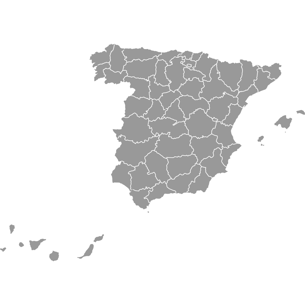
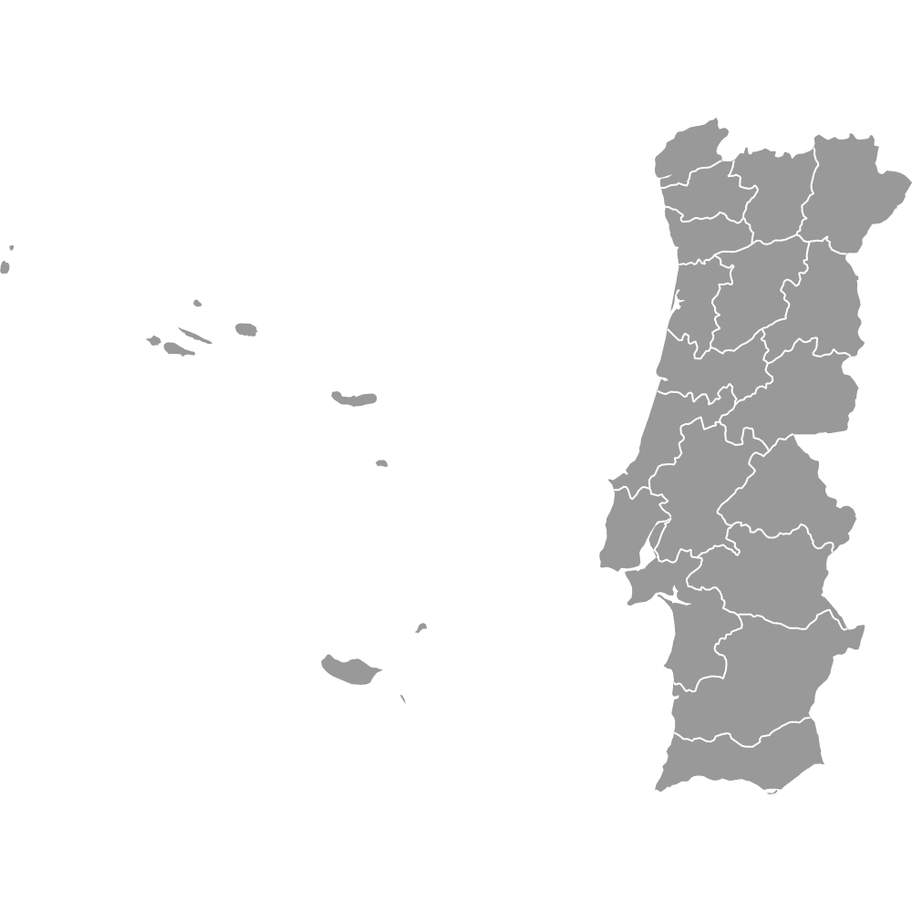
- Frame: The Canary Islands, Madeira and the Azores are cropped, with no insets. Spain's provinces and Portugal's districts are not drawn.
Interesting Facts
- Llívia, Spain's exclave inside France, is drawn on this map and not on the Spain map.
- The France and Andorra border was last changed in 2001, when two equal plots at Pas de la Casa were swapped. No outline on the map has moved since.
- Gibraltar is small on the map, so zoom in to see it. Its label sits in the sea just east of the Rock.
Free Downloads
Free for personal and commercial use with a credit to Ultimaps. See the license terms for details.
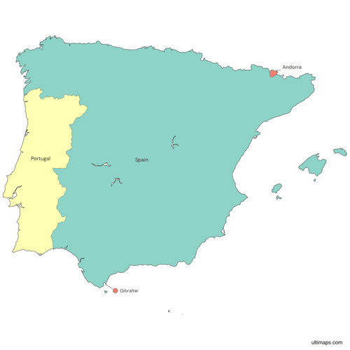 Colored Spain and Portugal Mappng317 KB
 Political Map of Spain and Portugal with Countriespng376 KB
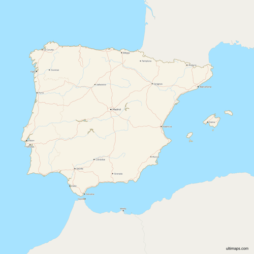 Map of Spain and Portugal with Cities and Roadspng671 KB
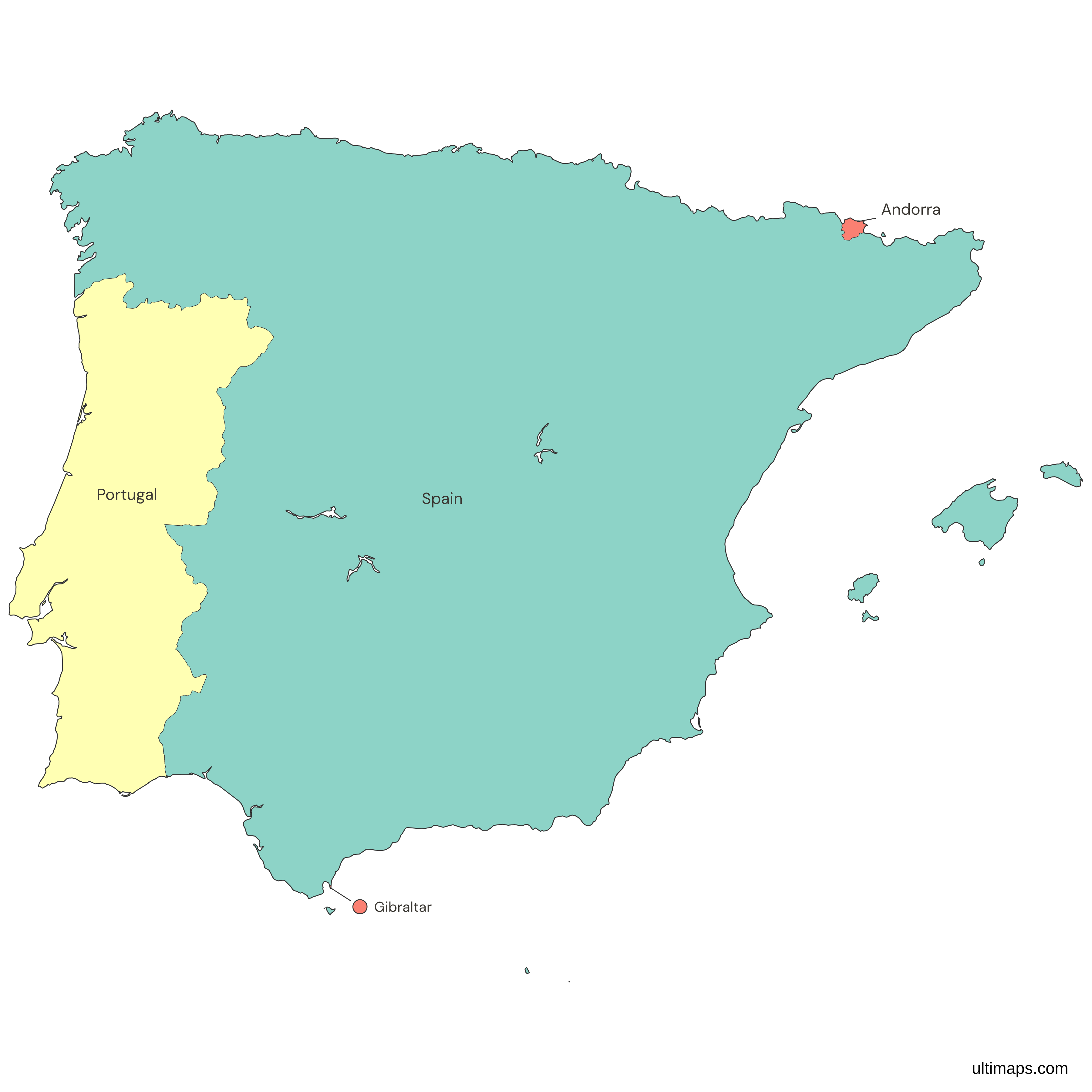
Need it without colors? The blank version of this map comes as a print-ready PDF (A4 and US Letter), a PNG and an editable SVG.
Custom Map Features
This map supports labels.
This map supports surrounding areas, roads, rivers and cities. New
This map is divided into 4 countries.
Updates
Nov 5, 2026:
- Added map of Spain and Portugal countries (Spain, Portugal, Andorra and Gibraltar)
Frequently Asked Questions
The Iberian Peninsula holds Spain, Portugal and Andorra, plus Gibraltar, a British Overseas Territory that Spain claims. A small part of southern France also lies on the peninsula, which some sources count as a fourth country. This map draws the three countries and Gibraltar, and it shows France in gray. Spain and Portugal cover almost all of the land, and Andorra is a small state in the Pyrenees. The map also draws the Balearic Islands, which belong to Spain and are not on the peninsula.
The Iberian Peninsula is the peninsula in the southwest of Europe, between the Atlantic Ocean and the Mediterranean Sea. The Pyrenees join it to the rest of Europe in the northeast, and the Strait of Gibraltar separates it from Africa in the south. It is nearly the same as Spain and Portugal, but not exactly. The peninsula also holds Andorra, Gibraltar and a sliver of France, and the islands of both countries lie off it. This map shows the whole peninsula in the frame, with the Balearic Islands added.
Gibraltar is a British Overseas Territory, which Spain claims, so it is not a country. Spain ceded it to Great Britain in the Treaty of Utrecht in 1713. It is not part of the United Kingdom itself, and Spain does not govern it. Its land border is with Spain, and the rest of its edge is sea. The map draws Gibraltar as its own region with its own value, and the source lists 40,126 people there (World Bank, 2025). Give it a row of its own when you upload data.
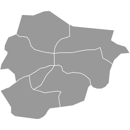
Andorra is a sovereign country, a co-principality in the Pyrenees between Spain and France. Its two co-princes are the Bishop of Urgell and the President of France. It has no coast. It has 82,904 people (World Bank, 2025) on 468 km² of land (World Bank, 2024), and its capital is Andorra la Vella. It joined the United Nations in 1993. By land area it is the smallest of the three countries the map colors, and Gibraltar, a territory, is smaller still. For its seven parishes, use the Andorra map with parishes.
Spain borders Portugal, France, Andorra and Gibraltar on the peninsula. Portugal meets only Spain, and Andorra meets Spain and France. Spain also borders Morocco at Ceuta and Melilla, Spanish cities on the North African coast that are drawn as part of Spain, and at the Peñón de Vélez de la Gomera, which is too small to draw. Morocco claims Ceuta and Melilla. France and Morocco are drawn in gray here, as are the other neighbors in the frame, so only Spain, Portugal, Andorra and Gibraltar take values.
No. Portugal is a sovereign state with its capital in Lisbon, and its only land border is with Spain. The crowns were joined only in the Iberian Union, 1580 to 1640. Portugal has 10,804,871 people (World Bank, 2025), Spain 49,355,143, and Portugal covers about 91,600 km² against Spain's 499,700 (World Bank, 2024). The map draws the two as separate regions, each with its own value, so a table needs one row for each. The Iberian Union was a shared monarchy, and the two kingdoms kept separate laws and institutions.
The map does not include the Canary Islands, Madeira or the Azores, because the frame covers the Iberian Peninsula and the Balearic Islands. No insets are added. The Canary Islands are on the Spain map, and Madeira and the Azores are on the Portugal map. The Balearic Islands are drawn as part of Spain, with Mallorca, Menorca, Ibiza, Formentera and Cabrera. The Selvagens, which belong to Portugal, are also outside the frame. World Bank figures still count all of these islands in each country's totals, though the map crops them.
Ceuta and Melilla are drawn on the map as part of Spain. They are Spanish cities on the North African coast, and Morocco claims them. They take Spain's value, because the map draws countries and not Spain's autonomous communities and cities. Olivenza, a town near the Portuguese border, is also drawn in Spain, which administers it, in Extremadura, and Portugal does not recognize Spanish sovereignty over it. The Chafarinas Islands, off the same coast, are drawn as Spain too. Spain holds them and Morocco claims them.
You can make a custom map of Spain and Portugal in the free Ultimaps editor, which needs no account. The four regions are already on the canvas, so you only add data. Click a country to color it by hand, or paste a table with one row per country, Gibraltar included. Pins and labels go on top, and the finished map can be shared by link or embedded in a page. Free exports carry a small Ultimaps credit, and Pro removes it and adds high-resolution PNG, SVG and PDF.