Gulf States Map
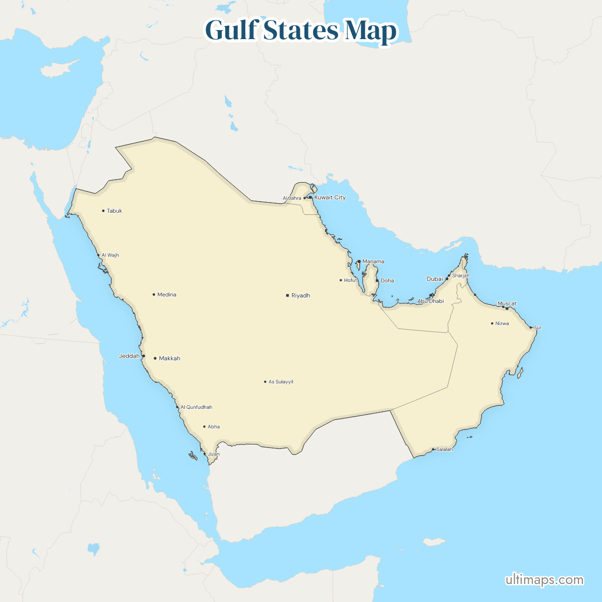
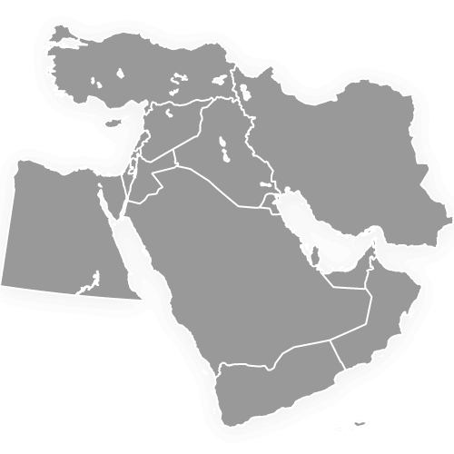
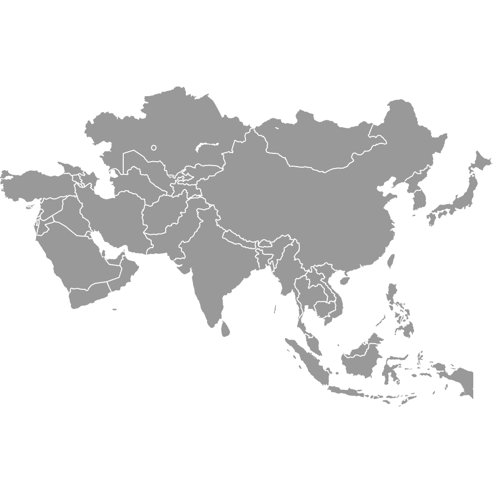
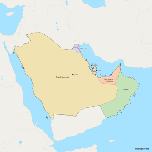
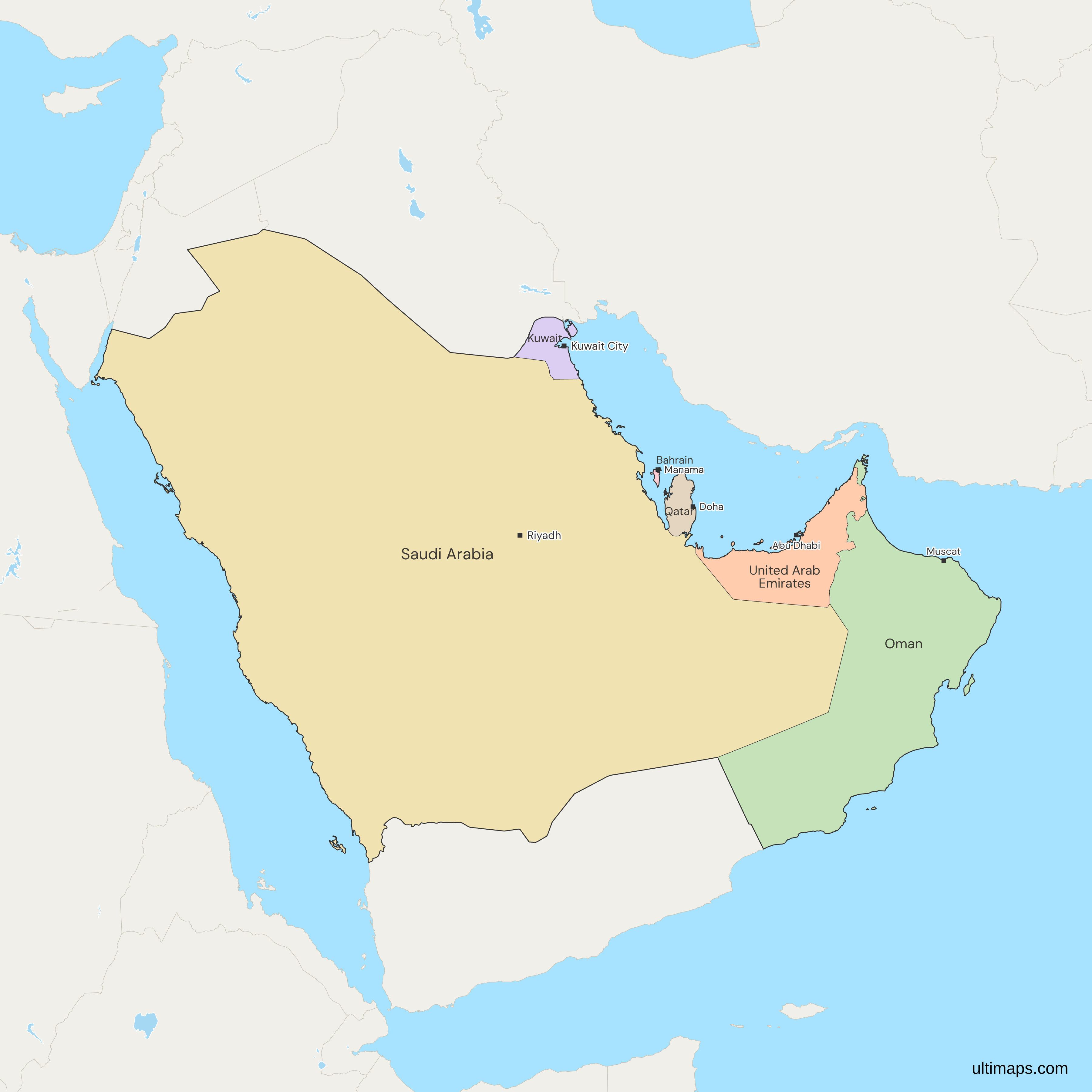
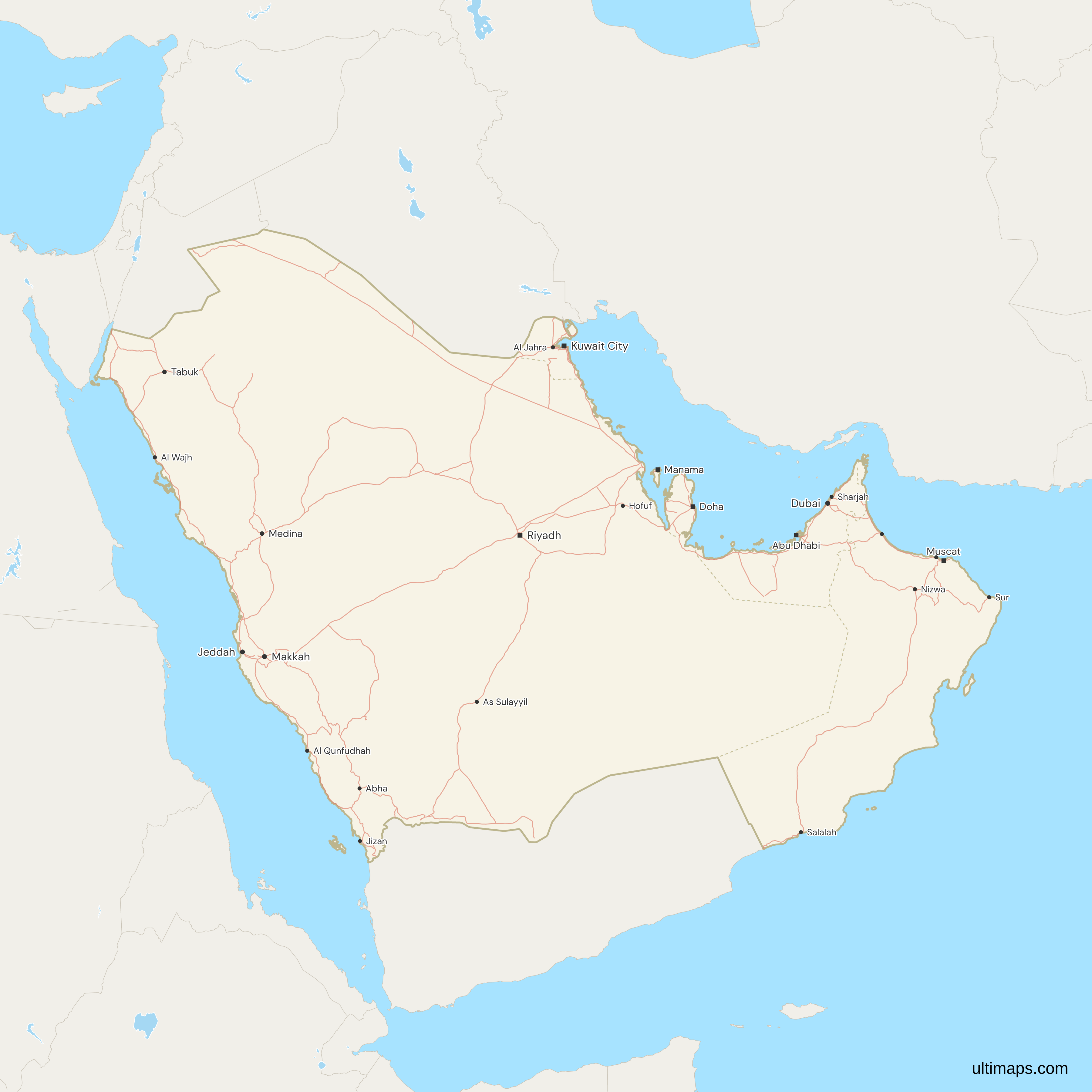
This map of the Gulf States shows all 6 countries, Saudi Arabia, the United Arab Emirates, Qatar, Kuwait, Bahrain and Oman. These are the Arab member states of the Gulf Cooperation Council (GCC), whose Charter was concluded at Abu Dhabi on 25 May 1981. Iraq, Iran and Yemen are not members and are drawn in grey. The map does not cover the US Gulf Coast, which has its own meaning of Gulf States. GDP per capita runs from 75,685 US$ in Qatar to 20,285 US$ in Oman (World Bank, 2024).
Open the map in the free Ultimaps editor to make your own custom map of the Gulf States. You can color the countries by your data, add pins and labels, and share or embed the finished map.
Interactive Gulf States Map
List of Countries (6)
| # | Country | Capital | Population (2025) | GDP per capita (US$, 2024) | Land area (km², 2024) |
|---|---|---|---|---|---|
| 1 | Bahrain | Manama | 1,600,366 | 29,717 | 800 |
| 2 | Kuwait | Kuwait City | 4,865,298 | 32,856 | 17,820 |
| 3 | Oman | Muscat | 5,494,691 | 20,285 | 309,500 |
| 4 | Qatar | Doha | 2,972,215 | 75,685 | 11,490 |
| 5 | Saudi Arabia | Riyadh | 36,973,555 | 35,528 | 2,149,690 |
| 6 | United Arab Emirates | Abu Dhabi | 11,513,149 | 50,274 | 71,020 |
Data sources:
- Capital: Ultimaps, compiled from national constitutions and statutes (cross-checked against Natural Earth). License: facts compiled by Ultimaps, CC BY 4.0.
- Population: World Bank, World Development Indicators (SP.POP.TOTL). License: CC BY 4.0.
- GDP per capita: World Bank, World Development Indicators (NY.GDP.PCAP.CD). License: CC BY 4.0.
- Land area: World Bank, World Development Indicators (AG.LND.TOTL.K2). License: CC BY 4.0.
Gulf States Countries: Key Facts
- Members: Saudi Arabia, the United Arab Emirates, Qatar, Kuwait, Bahrain and Oman.
- Not the US Gulf Coast: for Texas, Louisiana, Mississippi, Alabama and Florida, use the United States map.
- Definition: the map follows the GCC Charter, which took effect on signature by all 6 states. No country has joined or left since 1981.
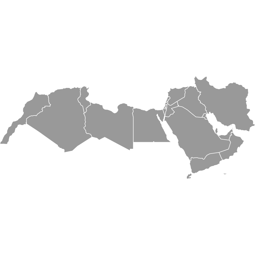
- Edges: Iraq and Iran also lie on the Gulf, and Yemen shares the Arabian Peninsula, but none of the three is a GCC member, so all three are drawn in grey. The MENA map draws the 6 Gulf States among 19 countries from Morocco to Iran.
- Capitals: Riyadh (Saudi Arabia), Abu Dhabi (United Arab Emirates), Doha (Qatar), Kuwait City (Kuwait), Manama (Bahrain) and Muscat (Oman). Dubai is the UAE's largest city but not its capital.
- Land area: Saudi Arabia has 2,149,690 km² (World Bank, 2024), more than five times the other 5 together at 410,630 km². Oman follows at 309,500 km² and the United Arab Emirates at 71,020 km². Bahrain is the smallest at 800 km².
- Population: Saudi Arabia has 36,973,555 people and Bahrain 1,600,366 (World Bank, 2025). The United Arab Emirates (11,513,149) is second, ahead of Oman (5,494,691), Kuwait (4,865,298) and Qatar (2,972,215). The 6 countries total 63,419,274, and Saudi Arabia holds 58 percent of that.
- Income: after Qatar, the United Arab Emirates has the next highest GDP per capita at 50,274 US$, followed by Saudi Arabia at 35,528, Kuwait at 32,856 and Bahrain at 29,717, with Oman last (World Bank, 2024).
- Borders: Saudi Arabia borders Oman, the United Arab Emirates, Qatar and Kuwait, and also Yemen, Iraq and Jordan. Oman borders the United Arab Emirates, Saudi Arabia and Yemen. Kuwait borders Saudi Arabia and Iraq, and Qatar's only land neighbor is Saudi Arabia. Bahrain is an island country with no land border.
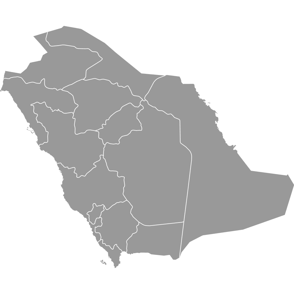
- Transferred islands: the Saudi Arabia region has 13 parts, two of them Tiran and Sanafir, which Egypt transferred in an April 2016 agreement that took effect with its ratification in June 2017.
- Hawar and Janan: the International Court of Justice split the islands Qatar and Bahrain contested in March 2001. The Hawar Islands went to Bahrain and are drawn as its islands, while Zubarah and the islet of Janan went to Qatar. Janan is too small to show on the map.
- Disputed islands: Iran administers Abu Musa and the United Arab Emirates claims it, so it is drawn with Iran in grey. The Greater and Lesser Tunb and three small Emirati islets, Zirku, Sir Abu Nu'ayr and a smaller one, are not drawn.
Free Downloads
Free for personal and commercial use with a credit to Ultimaps. See the license terms for details.
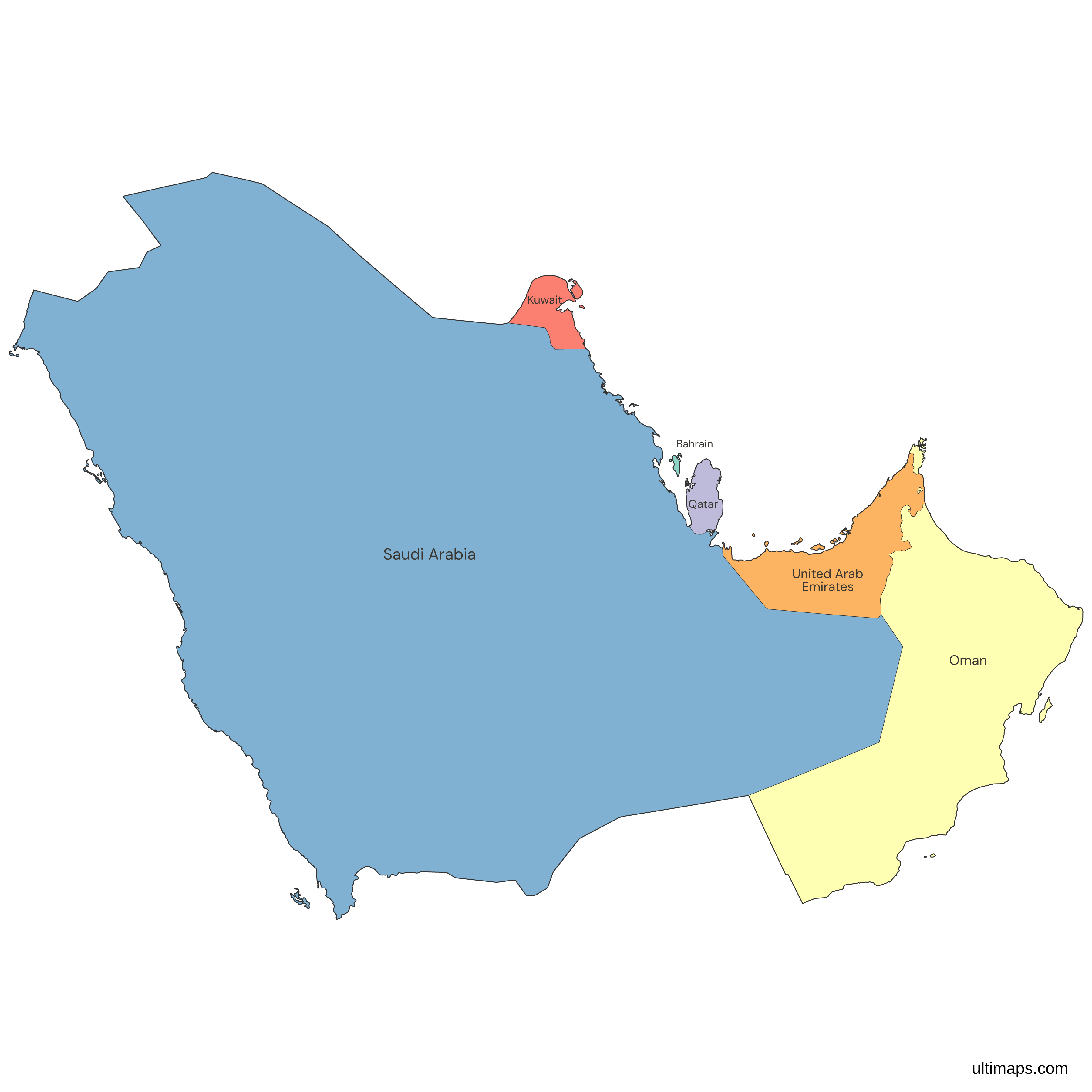
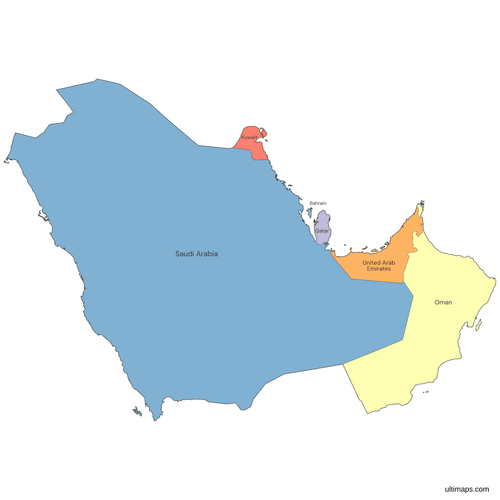 Colored Gulf States Mappng293 KB
 Political Map of the Gulf States with Countriespng602 KB
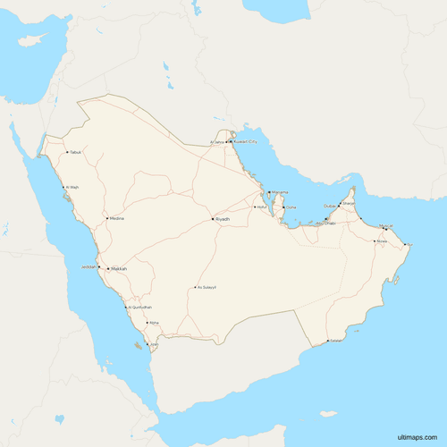 Map of the Gulf States with Cities and Roadspng791 KB
Need it without colors? The blank version of this map comes as a print-ready PDF (A4 and US Letter), a PNG and an editable SVG.
Custom Map Features
This map supports labels.
This map supports surrounding areas, roads and cities. New
This map is divided into 6 countries.
Updates
Nov 5, 2026:
- Added map of the Gulf States countries
Frequently Asked Questions
The Gulf Cooperation Council (GCC) has 6 member countries: Saudi Arabia, the United Arab Emirates, Qatar, Kuwait, Bahrain and Oman. All 6 are founding members, and each is a sovereign state with its own capital: Riyadh, Abu Dhabi, Doha, Kuwait City, Manama and Muscat. Saudi Arabia is the largest member by land and by population, and Bahrain is the smallest on both counts. Iraq, Iran, Yemen and Jordan share borders or waters with the members but do not belong to the council, so they stay in grey on the map.
In most usage, and on this map, the Gulf States are the 6 Arab countries of the Gulf Cooperation Council: Saudi Arabia, the United Arab Emirates, Qatar, Kuwait, Bahrain and Oman. Some dictionaries count 8 by adding Iraq and Iran. The 6 are also called the Gulf Arab States or the GCC states. In the United States, Gulf States can instead mean the states on the Gulf Coast, which are Texas, Louisiana, Mississippi, Alabama and Florida. This map shows the Arab Gulf States only, so for the US states use the United States map.
The Gulf Cooperation Council (GCC), officially the Cooperation Council for the Arab States of the Gulf, is a regional organization of Saudi Arabia, the United Arab Emirates, Qatar, Kuwait, Bahrain and Oman. Its Charter dates from 1981 and took effect on signature by all 6 states. The United Nations Treaty Series records it as treaty I-21244 in volume 1288. The council's Secretariat General sits in Riyadh. People also search for it as the GCC countries or the GCC members, and those terms mean the same 6 states shown in color here.
The GCC has 6 members, and the Gulf States are usually the same 6. Some definitions of the Arab states of the Persian Gulf add Iraq for 7, and some dictionaries add Iran as well for 8. Iran is not an Arab state, and Yemen, though Arab, lies on the Arabian Peninsula rather than the Gulf. This map follows the 6 GCC members and draws Iraq, Iran and Yemen in grey. For the whole region with those three in color, use the Middle East map. The MENA map draws the 6 Gulf States among 19 countries from Morocco to Iran.
Seven countries make up the Arabian Peninsula as it is usually listed: Saudi Arabia, the United Arab Emirates, Qatar, Kuwait, Bahrain, Oman and Yemen, with Bahrain an island just off its east coast. Geographic definitions also take in the southern parts of Iraq and Jordan, both of which border Saudi Arabia. Yemen is the only one of the seven outside the GCC, which is why the Gulf States map draws it in grey. Oman and Saudi Arabia are the two members with a land border with Yemen.
The Trucial States were sheikhdoms in the south-east of the Arabian Peninsula that had treaty relations with Britain. By 1971 they were seven: Abu Dhabi, Dubai, Sharjah, Ajman, Umm Al Quwain, Fujairah and Ras Al Khaimah. Six formed the United Arab Emirates on 2 December 1971, and Ras Al Khaimah joined in February 1972. The seven emirates are the UAE's first-level divisions today. This map draws the UAE as a single member, so for the emirates use the UAE's own map, and for the provinces of Saudi Arabia use its own map.
The Persian Gulf and the Arabian Gulf are two names for the same body of water. Persian Gulf is the historical and international name, and Arab governments use Arabian Gulf. Apart from quoted names, this page says the Gulf. Eight countries border it: Iran, Iraq, Saudi Arabia, Kuwait, Bahrain, Qatar, the United Arab Emirates and Oman, which reaches it only at the Musandam peninsula. Iraq has the shortest coast, about 58 km. Iran and Iraq are drawn in grey here, and the other six in color.
Yes, Oman is one of the 6 founding members of the Gulf Cooperation Council, and its capital is Muscat. Most of its coast is on the Gulf of Oman and the Arabian Sea, outside the Persian Gulf. Only the Musandam peninsula, at the Strait of Hormuz, touches the Gulf, and territory of the United Arab Emirates separates it from the rest of Oman. The map draws Oman in 6 parts, Musandam among them, and colors them as one country. Oman is second to Saudi Arabia in land area among the members.
Open the map in the free Ultimaps editor, which needs no account. To color the countries by hand, click each one. To color them by data, upload a table with one row per country and its value, including Bahrain, which is small on the map but a region of its own. Add pins and labels, then share the finished map by link or embed it on a website. A free export is a standard PNG with a small Ultimaps credit. High-resolution PNG, SVG and PDF export are Pro features.