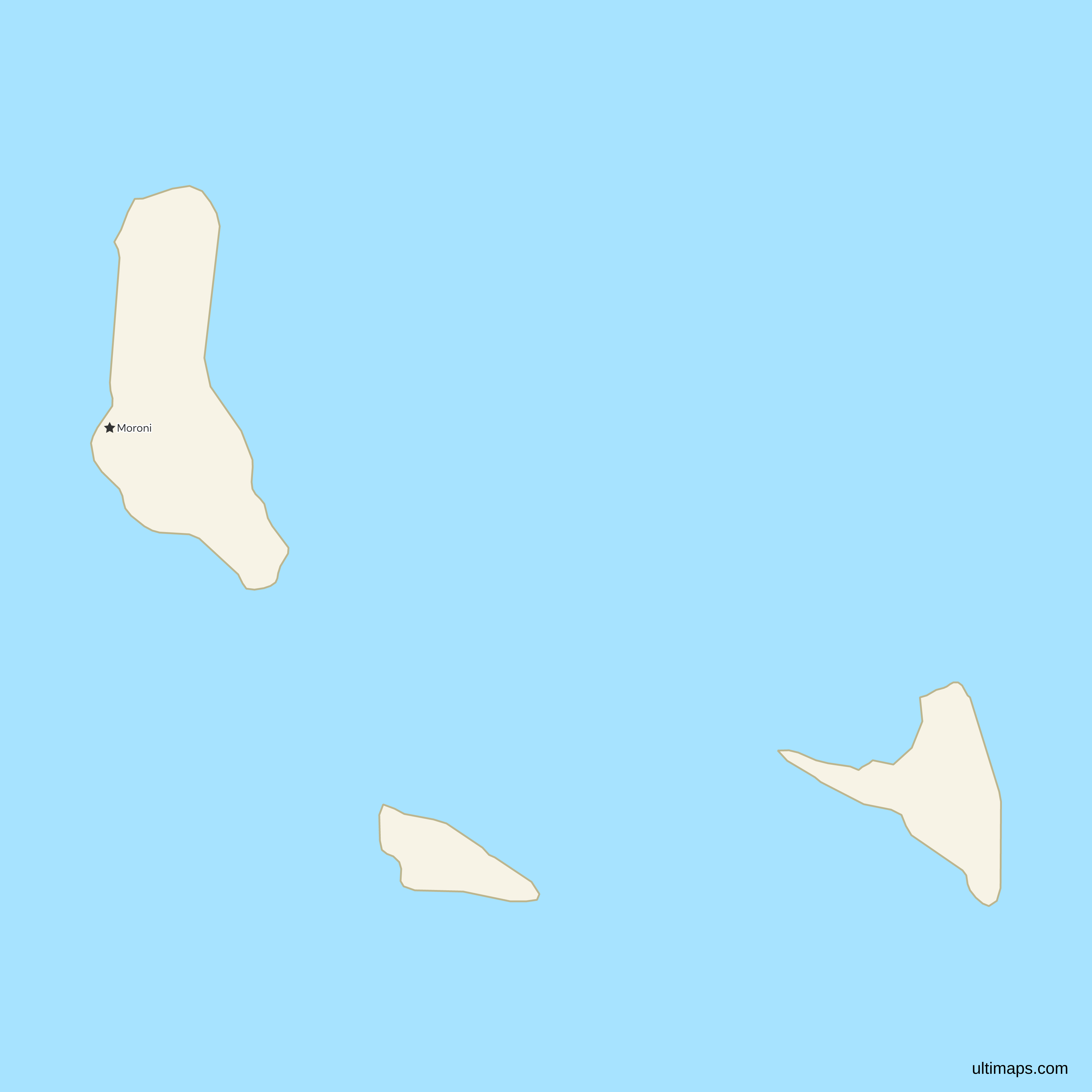
Comoros Map with Autonomous Islands
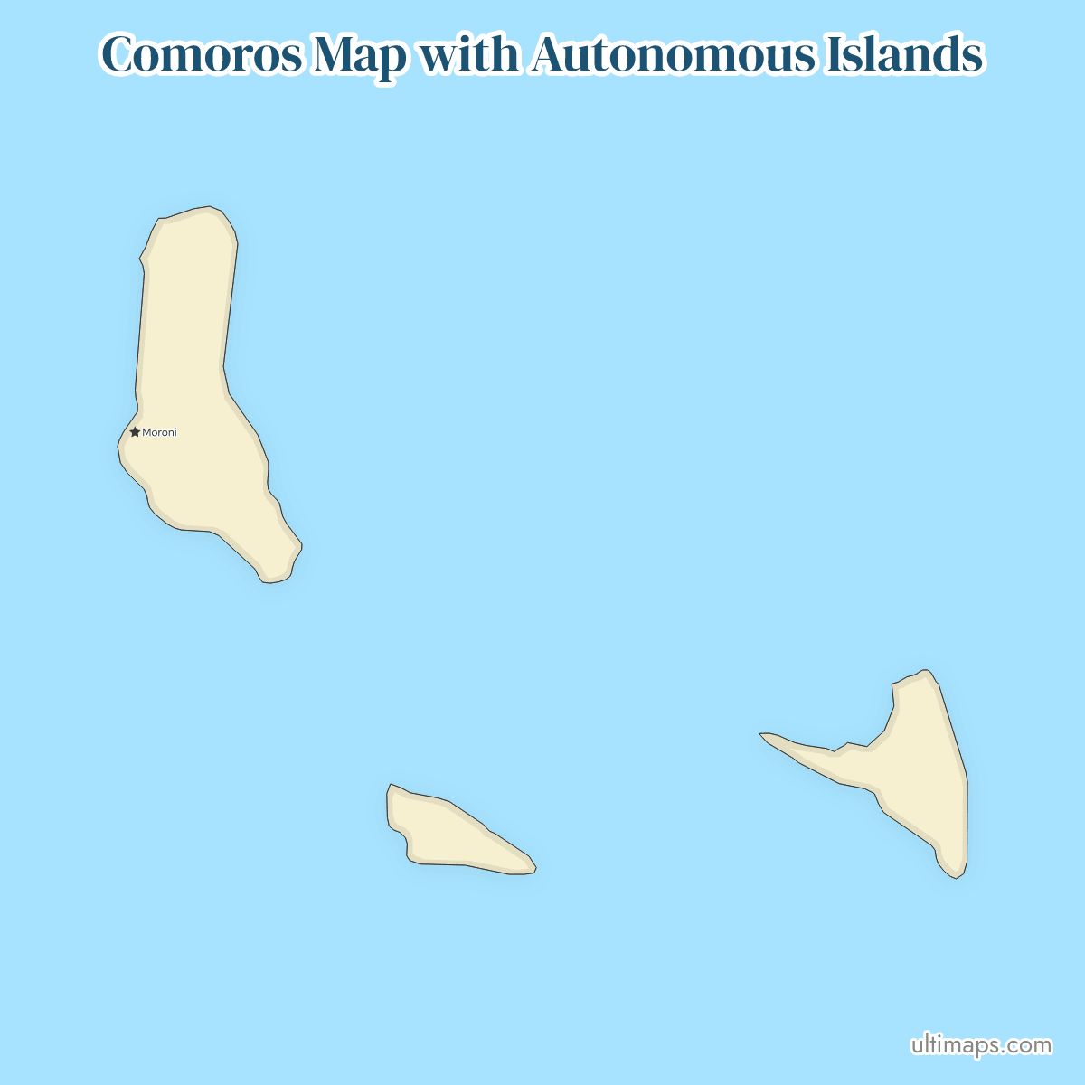
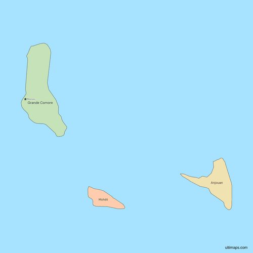
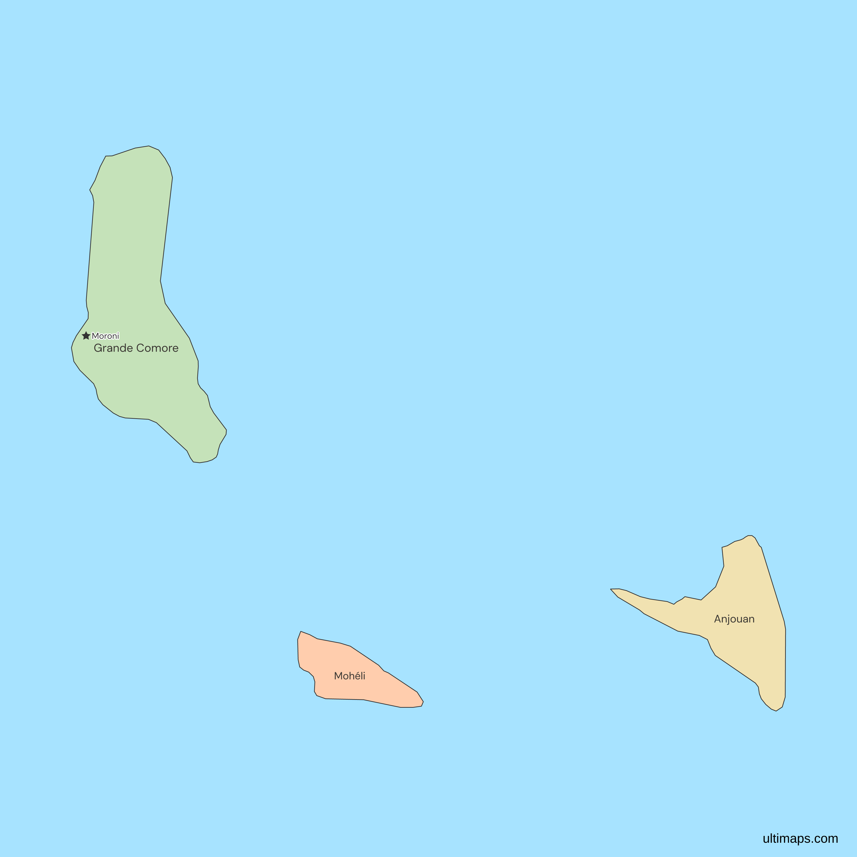
This map of Comoros shows all 3 autonomous islands, which took that status in April 2002 under the constitution approved by referendum on 23 December 2001. The 2017 census (INSEED) counted 758,316 residents across them: 379,367 on Grande Comore, 327,382 on Anjouan and 51,567 on Mohéli, the fewest. Grande Comore also hosts Moroni, the national capital. Mayotte, the fourth main island, is administered by France and claimed by the Comoros, and it is not drawn.
Open the map in the free Ultimaps editor to make your own custom map of Comoros. You can color the autonomous islands by your data, add pins and labels, and share or embed the finished map.
Interactive Comoros Map with Autonomous Islands
List of Autonomous Islands (3)
| # | Autonomous Island | Capital | Population (2017) | Area (km², 2017) |
|---|---|---|---|---|
| 1 | Anjouan | Mutsamudu | 327,382 | 424 |
| 2 | Grande Comore | Moroni | 379,367 | 1147 |
| 3 | Mohéli | Fomboni | 51,567 | 290 |
Data sources:
- Capital: INSEED Comores, RGPH 2017, Thème 0 Résultats globaux (2021). License: facts compiled by Ultimaps, CC BY 4.0.
- Population: INSEED Comores, Principaux indicateurs du RGPH 2017 (2022). License: no reuse licence published.
- Area: INSEED Comores, RGPH 2017, Thème 0 Résultats globaux, Tableau 7. License: no reuse licence published.
Comoros Autonomous Islands: Key Facts
- Number of autonomous islands: 3, which are Grande Comore (KM-G), Anjouan (KM-A) and Mohéli (KM-M). Each has a governor and a consultative council made up of representatives of its communal councils under the 2018 constitution (articles 99 and 107).
- Capital: Moroni, on Grande Comore, is the national capital. The 2017 census report (INSEED) also names Mutsamudu as the capital of Anjouan and Fomboni as the capital of Mohéli, but this map labels only Moroni.
- Largest and smallest island by area: Grande Comore is the largest at 1,147 km² and Mohéli the smallest at 290 km², with Anjouan second at 424 km² (area, INSEED, 2017 census report).
- Most and least populous island: Grande Comore has 379,367 residents and Mohéli has 51,567 (INSEED, 2017 census). Anjouan has 327,382, so the two larger islands hold 93% of the national total of 758,316.
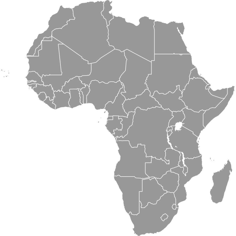
- Borders: none on land. The three islands share no boundary with each other or with any country. They lie in the Mozambique Channel between the African coast, nearest at Mozambique and Tanzania, and Madagascar. The Africa map shows the Comoros as one country. This map divides it into its three autonomous islands.
- Reforms: the constitution approved by referendum on 23 December 2001 made the state a union of autonomous islands. In April 2002 the three governorates became autonomous islands, and a 2009 referendum turned the island presidents into governors.
- Current constitution: approved by referendum on 30 July 2018 and in force from 6 August 2018, it keeps the three islands, each with a governor and a consultative council.
- Below the islands: Loi n° 11-006/AU of 2 May 2011 set prefectures and communes, which this map does not draw.
- Mayotte: France administers it as an overseas department, and the 2018 constitution names it as a fourth island of the Union. It is not drawn.
- Codes: KM-G, KM-A and KM-M under ISO 3166-2.
Interesting Facts
- The 2001 Fomboni Agreement ended the secession that Anjouan, and briefly Mohéli, declared in 1997, and the autonomous-island structure followed from it.
- The 2017 census did not cover Mayotte, so the national total of 758,316 counts the three islands only.
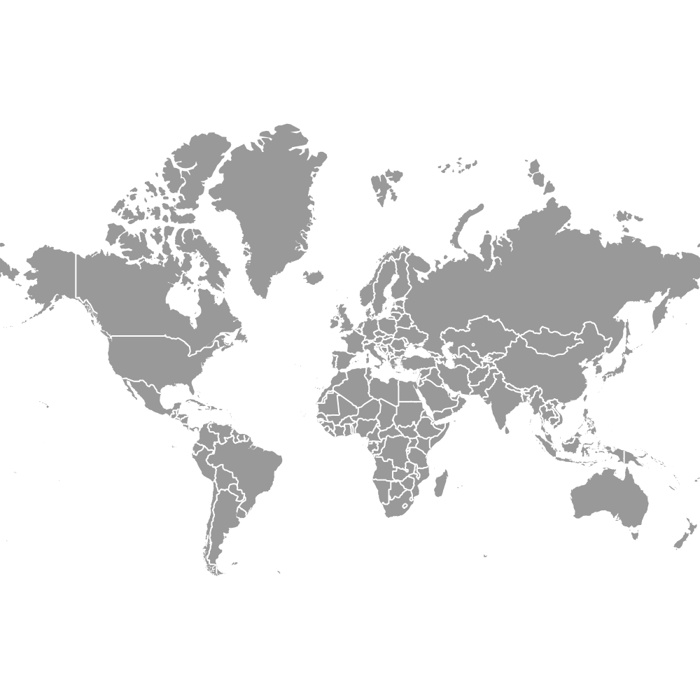
- The world map and the EMEA map both draw the Comoros as a single country. This page maps the Comoros alone, island by island.
- For another small state on the African coast, drawn by its regions, see the Djibouti regions map.
Free Downloads
Free for personal and commercial use with a credit to Ultimaps. See the license terms for details.
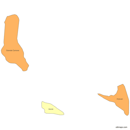 Colored Comoros Map with Autonomous Islandspng170 KB
 Political Map of the Comoros with Autonomous Islandspng165 KB
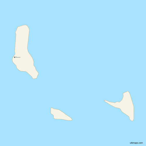 Map of the Comoros with Citiespng147 KB
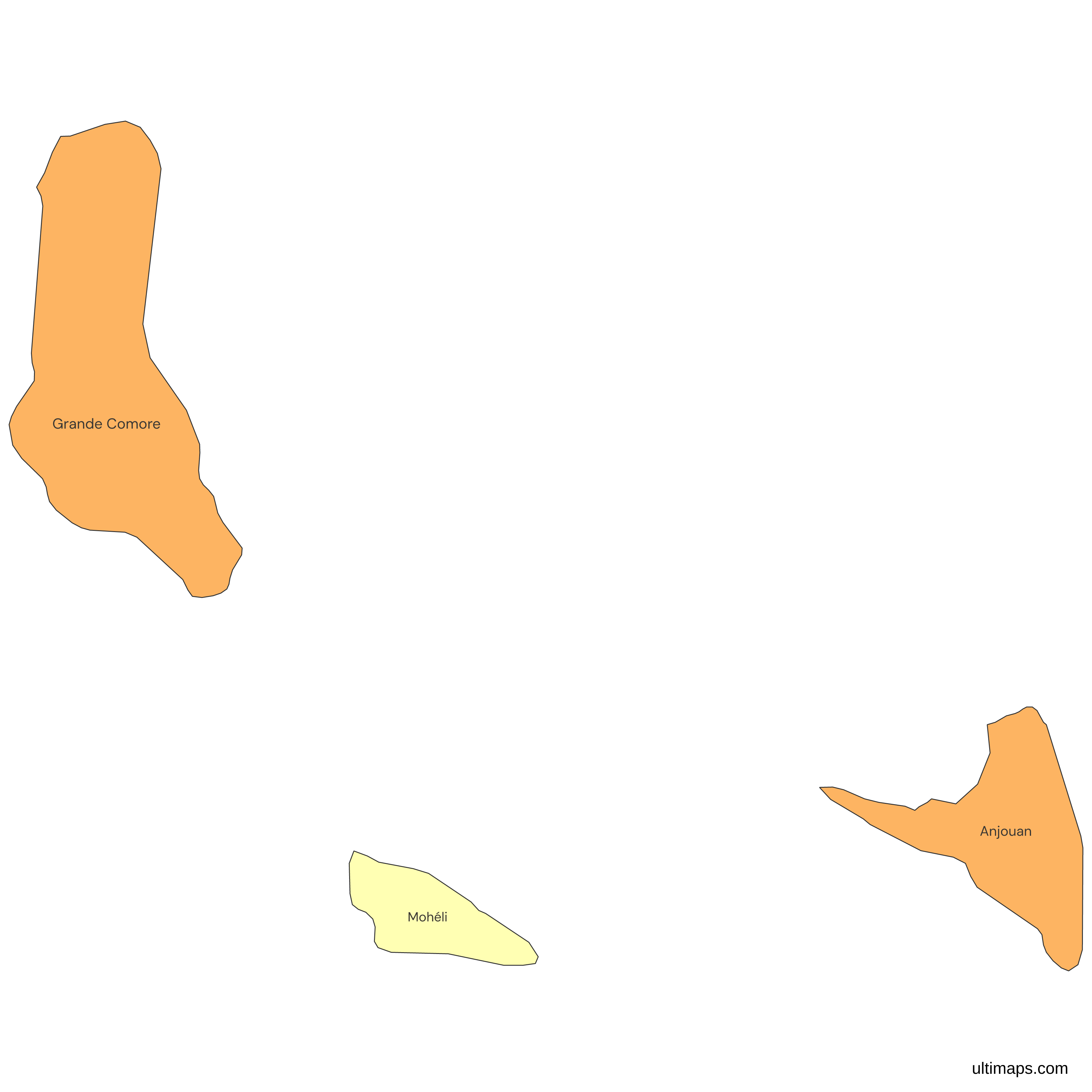
Need it without colors? The blank version of this map comes as a print-ready PDF (A4 and US Letter), a PNG and an editable SVG.
Custom Map Features
This map supports labels.
This map supports surrounding areas and cities. New
This map is divided into 3 autonomous islands.
Updates
Nov 5, 2026:
- Added map of the Comoros autonomous islands
Frequently Asked Questions
The Comoros has three islands under its own government: Grande Comore (Ngazidja), Anjouan (Ndzuwani) and Mohéli (Mwali). The 2018 constitution gives each the status of an autonomous island, with a governor and a consultative council. The archipelago has a fourth main island, Mayotte, which France administers as an overseas department and the Comoros claims, so sources count either three or four islands. This map shows the three that the Union of the Comoros administers. Their capitals are Moroni, Mutsamudu and Fomboni.
Moroni is the capital of the Comoros. It lies on Grande Comore, the island with the most residents, and it is the only city labeled on this map. The 2017 census report (INSEED) names Mutsamudu as the capital of Anjouan and Fomboni as the capital of Mohéli, so Moroni serves as both the national capital and the capital of its own island. The cities layer holds no other Comorian town, so neither island capital is marked here, but you can add pins for them in the editor.
France administers Mayotte, which became an overseas department in 2011, and the Comoros claims it. The 2018 constitution of the Comoros names Maoré, the Comorian name, as a fourth island of the Union and defers its institutions until what it calls the occupation of the island ends (articles 6 and 122). The ISO 3166-2 list for the Comoros holds only KM-G, KM-A and KM-M, and so does this map. Mayotte is not drawn, so its position is open sea. The 2017 census did not enumerate it either, so the Comorian national total leaves it out.
With 1,147 km² of area (INSEED, 2017 census report), Grande Comore is the largest island of the Comoros. Its Comorian name is Ngazidja. It also has the most residents, 379,367 in the 2017 census (INSEED). Anjouan ranks second at 424 km² and Mohéli third at 290 km², the same order as in every other source consulted. Anjouan had 327,382 residents in the census and Mohéli 51,567, so the area ranking and the population ranking of the three islands agree. Moroni, the national capital, lies on Grande Comore.
Mohéli is the smallest island of the Comoros, at 290 km² of area (INSEED, 2017 census report), and the least populated. Its Comorian name is Mwali and its ISO 3166-2 code is KM-M. It had 51,567 residents in the 2017 census (INSEED), about 7% of the national total of 758,316, so Anjouan had more than six times as many. Fomboni is its capital. Mohéli ranks third of the three islands by area and by population. Its 290 km² is about a quarter of Grande Comore's 1,147 km².
Grande Comore has the most people of the three islands, with 379,367 in the 2017 census (INSEED), about half of the national total of 758,316. Anjouan follows with 327,382 and Mohéli has 51,567. Anjouan is the most densely settled island, with 772 people per km² in 2017 (INSEED), and some travel guides call it the most populous. Grande Comore has 331 people per km² and Mohéli 178 in the same census. The figures count resident population. The next census is planned for 2027.
Each island of the Comoros has a French name, a Comorian name and an Arabic transliteration. Grande Comore is Ngazidja in Comorian and Andjazîdja in transliteration, Anjouan is Ndzuwani and Andjouân, and Mohéli is Mwali and Moûhîlî. The 2018 constitution uses the Comorian names. Older English sources write Johanna for Anjouan and Mohilla for Mohéli. The editor matches any of these spellings, and the codes KM-G, KM-A and KM-M, when you paste a table. Shikomor is the Comorian language that the constitution uses for these island names.
The Comoros became a union of autonomous islands under the constitution approved by referendum on 23 December 2001. That vote followed the 2001 Fomboni Agreement, which ended the secession Anjouan had declared in 1997. In April 2002 the three governorates became autonomous islands with their own fundamental laws. A 2009 referendum turned the island presidents into governors. Through all of these changes the set has been Grande Comore, Anjouan and Mohéli, and the ISO 3166-2 codes KM-G, KM-A and KM-M did not change.
To make a custom map of the Comoros, open this map in the Ultimaps editor, which is free and needs no account. Give each of the 3 autonomous islands a value or a color by hand, add pins for places such as Moroni or Mutsamudu, and share or embed the result. The free plan exports a standard PNG with a small Ultimaps credit, while the Pro plan adds high-resolution PNG, SVG and PDF files. For a table, enter one row per island, using names such as Ngazidja or Mwali, or codes such as KM-G.