Togo Map with Regions
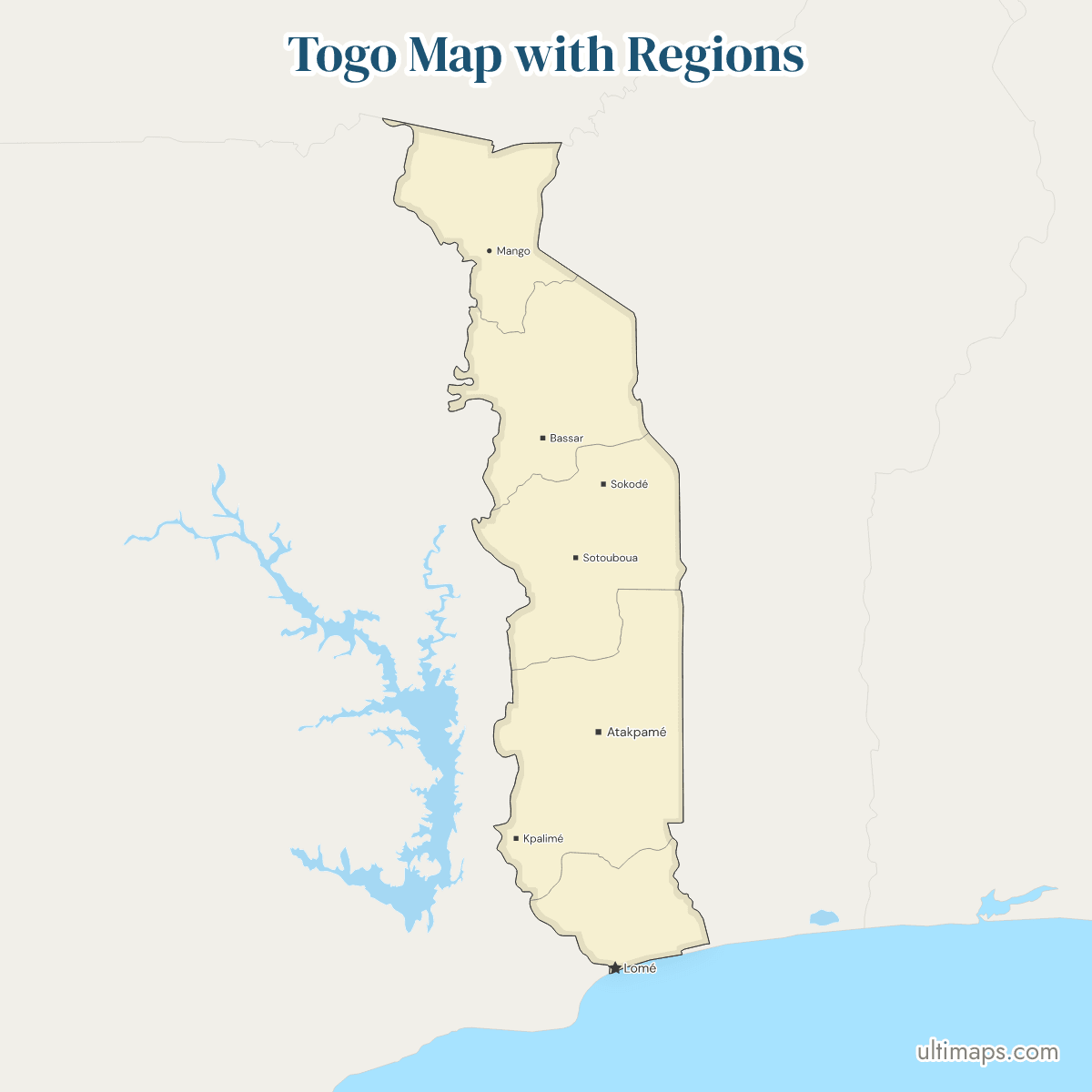
This map of Togo shows all 5 regions, the set organized as territorial collectivities under the 2007 decentralization law. Of the 8,095,498 people counted in the 2022 census (INSEED), 3,534,991 live in Maritime, the region that holds Lomé, the national capital, while Centrale has 795,529. Areas in the 1981 census run from 6,395 km² in Maritime to 16,975 km² in Plateaux. The map draws the regions only, not the 39 prefectures inside them.
Open the map in the free Ultimaps editor to make your own custom map of Togo. You can color the regions by your data, add pins and labels, and share or embed the finished map.
Interactive Togo Map with Regions
List of Regions (5)
Data sources:
- Capital: Seats of the regional governorates at the governors' installations, November–December 2024 (Togo). License: facts compiled by Ultimaps, CC BY 4.0.
- Population: INSEED Togo, RGPH-5 2022 final results, population by region (Maritime with Grand Lomé summed by Ultimaps). License: no reuse licence published.
- Area: Bureau Central du Recensement (Togo), RGPH 1981, Aperçu des résultats d'ensemble, Tableau 1. License: no reuse licence published.
Togo Regions: Key Facts
- Number of regions: 5, listed from north to south as Savanes, Kara, Centrale, Plateaux and Maritime. Each has an ISO 3166-2 code from TG-S to TG-M (TG-S, TG-K, TG-C, TG-P, TG-M).
- Capital: Lomé, the national capital, in Maritime near the Ghana border.
- Regional seats: Sokodé (Centrale), Atakpamé (Plateaux), Kara (Kara) and Dapaong (Savanes). Sources give Maritime's seat as Tsévié or as Lomé.
- Largest and smallest by area: Plateaux at 16,975 km² and Maritime at 6,395 km² (1981 census). Centrale (13,183 km²), Kara (11,630 km²) and Savanes (8,602 km²) fall between them.
- Most and least populous: Maritime at 3,534,991 and Centrale at 795,529 (INSEED, 2022 census). The national total is 8,095,498.
- Borders: Benin to the east and Ghana to the west touch all 5 regions. Burkina Faso lies to the north and touches Savanes only.
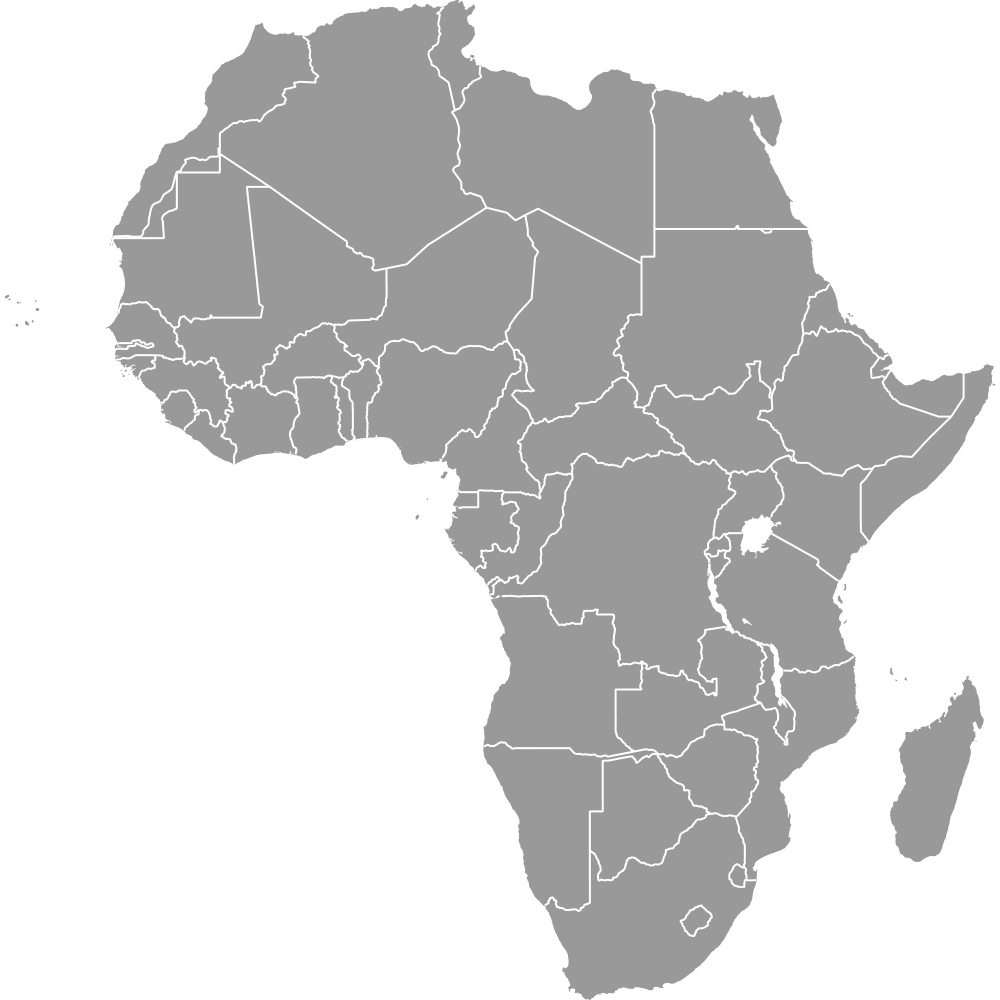
- Coast: Maritime is the only region on the sea, along the Gulf of Guinea. The map of Africa shows that coast between Ghana and Benin.
- Legal basis: the Constitution of 6 May 2024 names the region and the commune as the territorial collectivities. Regional councils were first elected on 29 April 2024.
- Prefectures: 39 prefectures sit below the regions (2022 census), each inside one region. They are not drawn.
- Grand Lomé: an autonomous district of 13 communes created in 2019, inside Maritime and not a sixth region.
Interesting Facts
- Kara was formed around 1981 from parts of Centrale and Savanes, and no reform since 2000 has changed the set.
- Centrale appears as Centre or Région du Centre in older sources. The map uses the official name and the ISO name, Centrale.
- Lake Togo and the lagoons near Lomé and Aného are not in the map's lake data and are not drawn.
Free Downloads
Free for personal and commercial use with a credit to Ultimaps. See the license terms for details.
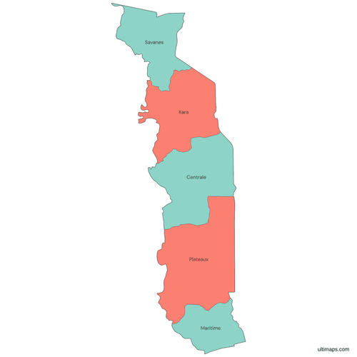 Colored Togo Map with Regionspng223 KB
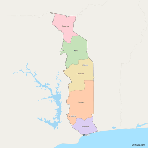 Political Map of Togo with Regionspng449 KB
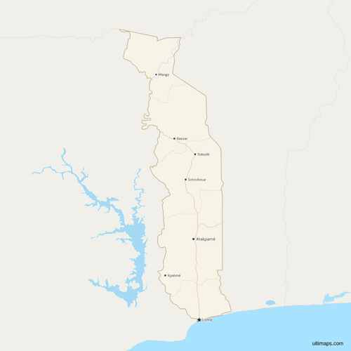 Map of Togo with Cities and Roadspng480 KB
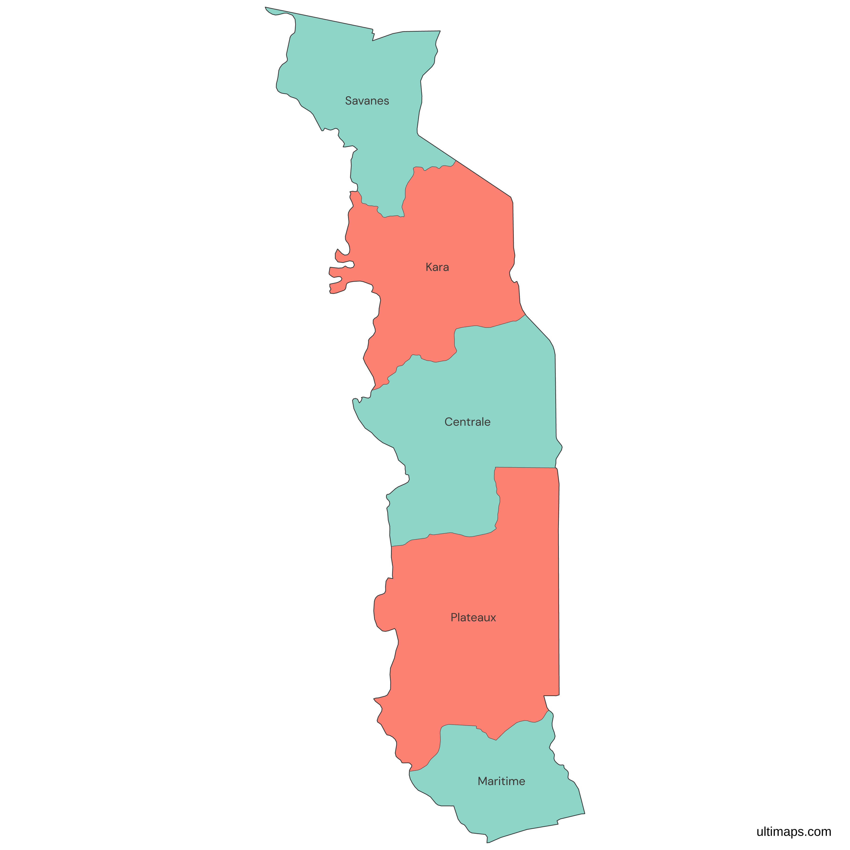
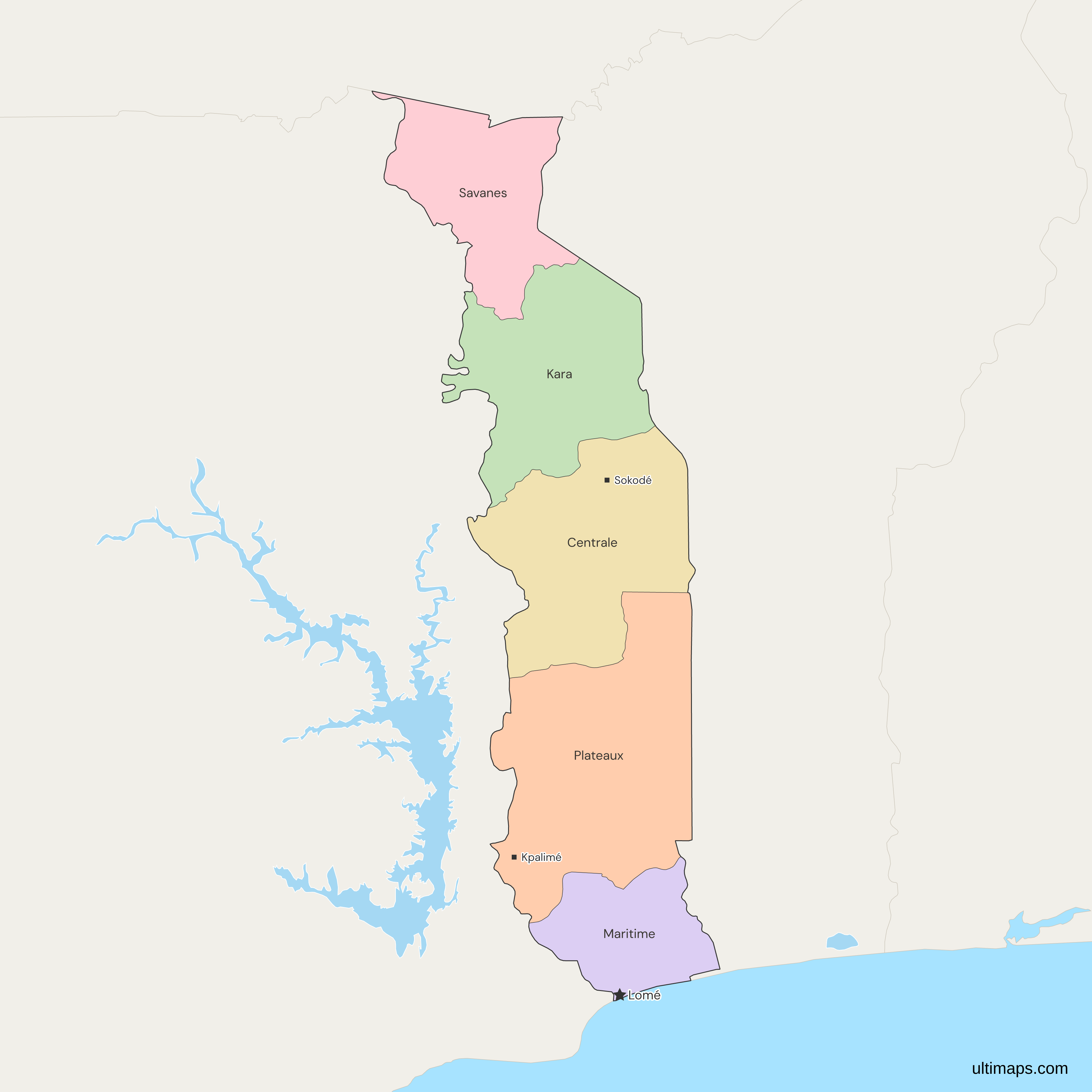
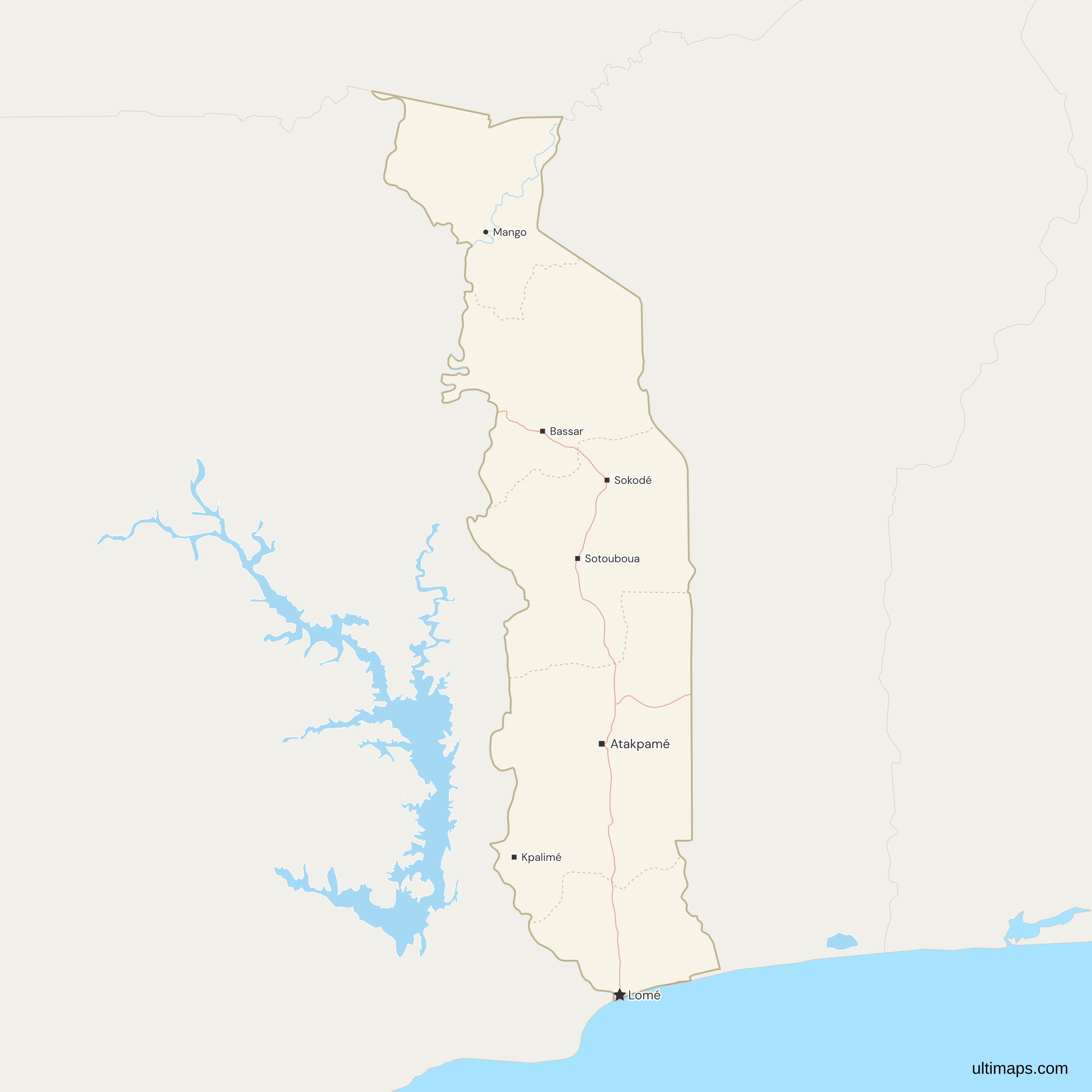
Need it without colors? The blank version of this map comes as a print-ready PDF (A4 and US Letter), a PNG and an editable SVG.
Custom Map Features
This map supports labels.
This map supports surrounding areas, roads, rivers and cities. New
This map is divided into 5 regions.
Updates
Nov 5, 2026:
- Added map of Togo regions
Frequently Asked Questions
Togo has 5 regions: Savanes, Kara, Centrale, Plateaux and Maritime, running from the northern border with Burkina Faso to the Gulf of Guinea. They are the regions organized as territorial collectivities by the 2007 decentralization law. The Constitution of 6 May 2024 names the region and the commune as the country's territorial collectivities, and regional councils were first elected on 29 April 2024. No reform since 2000 has added, merged or moved a region. Below the regions are 39 prefectures, counted in the 2022 census, and the communes.
Lomé is the capital of Togo. It lies in the Maritime region, on the Gulf of Guinea coast beside the Ghana border. Lomé and its surrounding communes form the District autonome du Grand Lomé, set up by a 2019 law. The district stays inside Maritime for regional purposes, and the Constitutional Court's results for the 29 April 2024 regional elections list its prefectures, Golfe and Agoè-Nyivé, under the Maritime council. In the 2022 census, Maritime including Grand Lomé counted 3,534,991 residents.
Togo's regional seats, from north to south, are Dapaong for Savanes, Kara for Kara, Sokodé for Centrale and Atakpamé for Plateaux. Governors took office in Dapaong, Kara and Atakpamé in November and December 2024. Centrale had no governor at that time, and Sokodé is its long-standing seat. Maritime is less settled: sources name Tsévié, where its governor was installed on 12 November 2024, while older ones name Lomé, the national capital. The map's city points include Sokodé and Atakpamé but not Kara or Dapaong, and three prefecture seats on it, Kpalimé, Bassar and Sotouboua, carry a regional-capital tag.
The 1981 census is the only official regional set of areas found, and it puts Plateaux first at 16,975 km². Centrale follows at 13,183 km², then Kara at 11,630 km², Savanes at 8,602 km² and Maritime at 6,395 km². The five figures add up to 56,785 km², close to the 56,600 km² usually given for the whole country. Plateaux lies in the south-center, between Centrale to the north and Maritime on the coast, and it borders both Ghana and Benin.
On the coast, Maritime covers 6,395 km² in the 1981 census, the least of the five regions, and Plateaux at 16,975 km² is more than two and a half times larger. Savanes is next smallest at 8,602 km². Maritime touches Ghana along its western edge and Benin along its eastern edge, and its only neighboring region is Plateaux, to the north. It is the one region that reaches the Gulf of Guinea, and it holds Lomé, so the smallest area also has the most residents.
INSEED's 2022 tables print Grand Lomé and Maritime without Grand Lomé as two rows, so the Maritime figure here, 3,534,991, is the sum of the two. That makes Maritime the most populous region, with about 44 percent of the 8,095,498 people in the five regions. Plateaux has 1,635,946, Savanes 1,143,520, Kara 985,512 and Centrale 795,529. Grand Lomé is an autonomous district inside Maritime, not a separate region. The gap to the next region is large: Maritime has more than twice as many residents as Plateaux, the second most populous, and more than four times as many as Centrale.
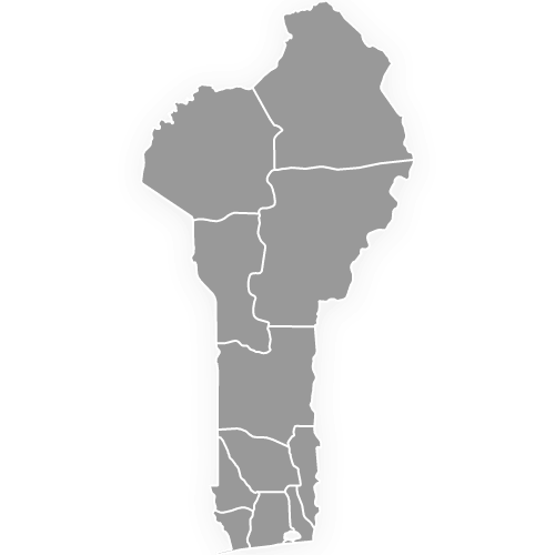
This map of Togo shows the 5 regions only. It draws neither the 39 prefectures inside them, which the 2022 census counts, nor the communes. Data kept by prefecture needs a region column first, since each prefecture sits inside a single region. Grand Lomé, which groups the Golfe and Agoè-Nyivé prefectures, is not a shape of its own either, because it belongs to Maritime. Benin to the east is drawn in grey, and its 12 departments have a separate map.
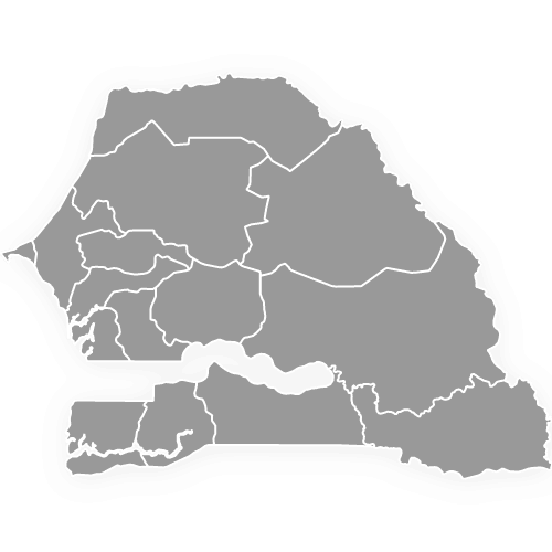
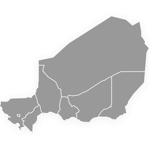
Togo has regions rather than states or provinces. The 5 regions are its first-level divisions, with ISO 3166-2 codes from TG-S for Savanes to TG-M for Maritime, and the 39 prefectures are the second level. Other West African countries name their first level differently. To compare, see the maps of Nigeria's states, Senegal's regions and Niger's regions, or the map of Africa for the whole continent. Togo has no state-level layer above them, and the prefectures below them are not drawn here.
You can make a custom map of Togo in the Ultimaps editor, which is free and needs no account. Start from this map and give each of the 5 regions a value or a color by hand. INSEED's census tables print Grand Lomé on its own row, so add it to the rest of Maritime before you color. A free export is a standard PNG with a small Ultimaps credit, while high-resolution PNG, SVG and PDF exports are part of the Pro plan.