Balkan Countries Map
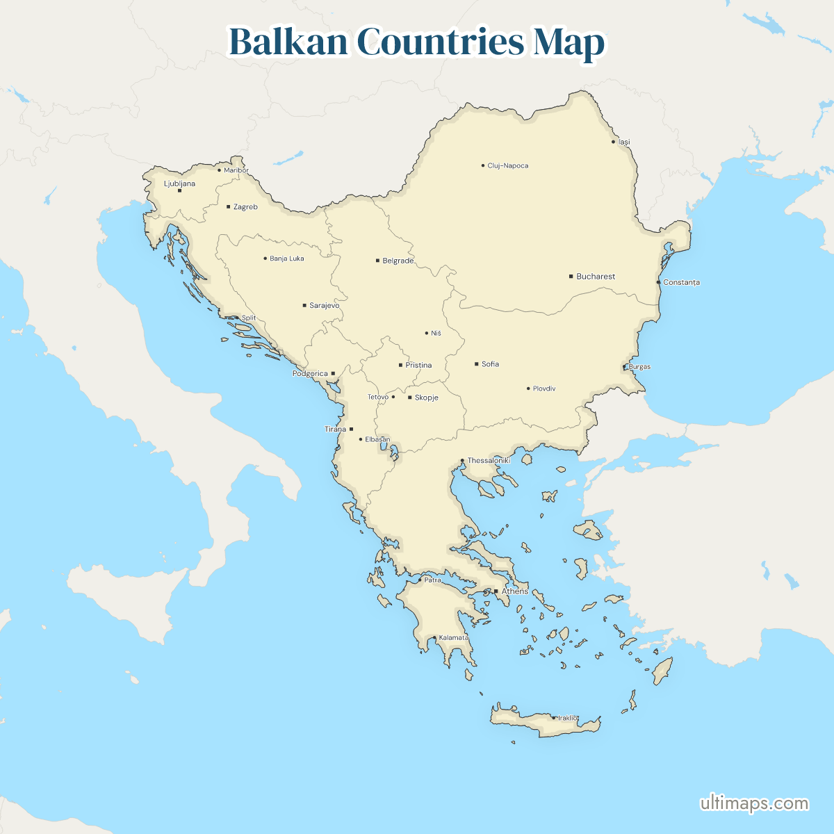
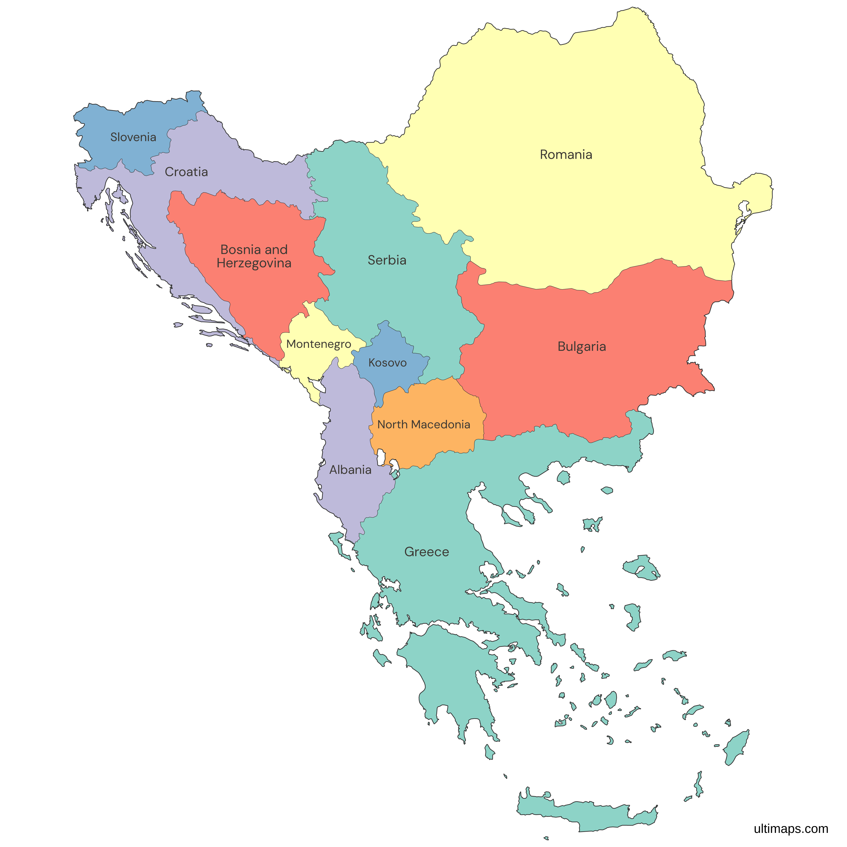
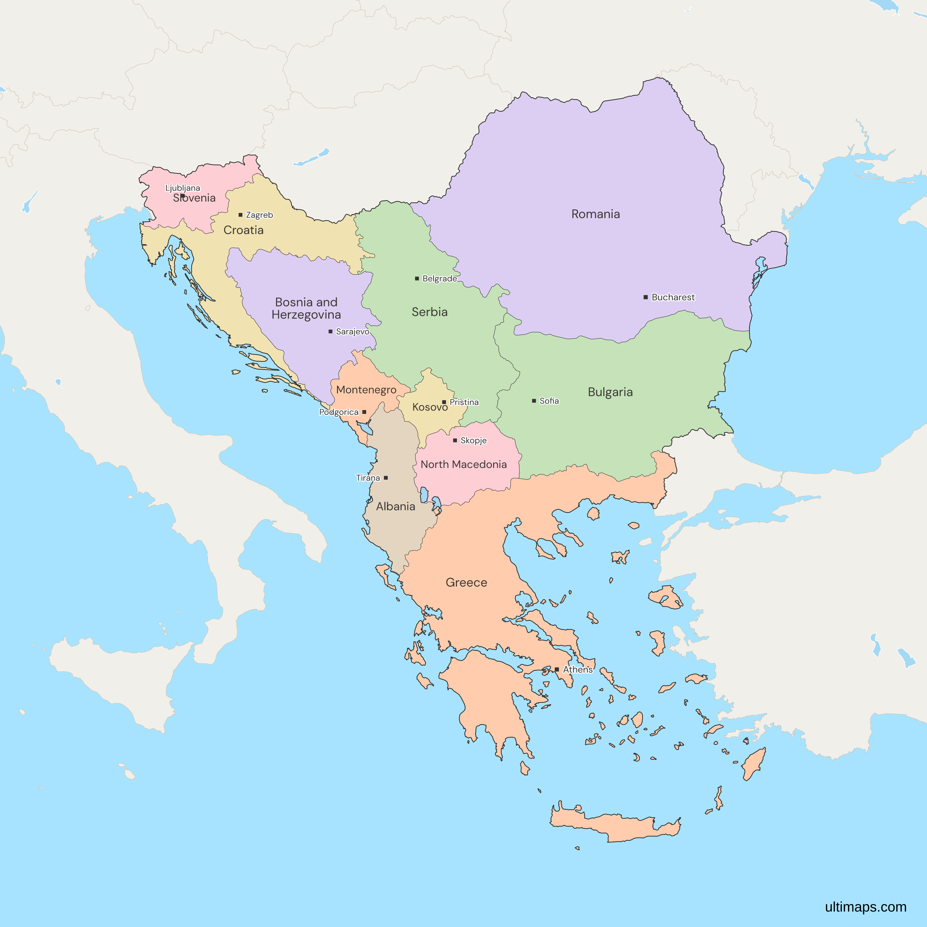
This map of the Balkans shows all 11 countries, Albania, Bosnia and Herzegovina, Bulgaria, Croatia, Greece, Kosovo, Montenegro, North Macedonia, Romania, Serbia and Slovenia. The Balkans are the part of southeastern Europe between the Adriatic, Aegean and Black Seas. No treaty or body fixes the list, so the map follows a broad definition, and narrower ones leave out most of Romania and all of Slovenia. Kosovo is included as a region of its own, though Serbia does not recognize its independence. Moldova and Turkey, East Thrace included, are drawn in grey. Together the 11 have 57.9 million people (World Bank, 2025). Open the map in the free Ultimaps editor to make your own custom map of the Balkans. You can color the countries by your data, add pins and labels, and share or embed the finished map.
Interactive Balkan Countries Map
List of Countries (11)
| # | Country | Capital | Population (2025) | GDP per capita (US$, 2024) | Land area (km², 2024) |
|---|---|---|---|---|---|
| 1 | Albania | Tirana | 2,349,580 | 11,374 | 27,400 |
| 2 | Bosnia and Herzegovina | Sarajevo | 3,140,095 | 9,398 | 51,200 |
| 3 | Bulgaria | Sofia | 6,433,302 | 17,597 | 108,560 |
| 4 | Croatia | Zagreb | 3,876,200 | 24,050 | 55,960 |
| 5 | Greece | Athens | 10,413,962 | 24,626 | 128,900 |
| 6 | Kosovo | Pristina | 1,576,876 | 7,027 | — |
| 7 | Montenegro | Podgorica | 623,129 | 13,270 | 13,450 |
| 8 | North Macedonia | Skopje | 1,820,909 | 9,292 | 25,220 |
| 9 | Romania | Bucharest | 19,020,271 | 20,080 | 230,080 |
| 10 | Serbia | Belgrade | 6,549,143 | 13,678 | — |
| 11 | Slovenia | Ljubljana | 2,130,986 | 34,301 | 20,134.50 |
Data sources:
- Capital: Ultimaps, compiled from national constitutions and statutes (cross-checked against Natural Earth). License: facts compiled by Ultimaps, CC BY 4.0.
- Population: World Bank, World Development Indicators (SP.POP.TOTL). License: CC BY 4.0.
- GDP per capita: World Bank, World Development Indicators (NY.GDP.PCAP.CD). License: CC BY 4.0.
- Land area: World Bank, World Development Indicators (AG.LND.TOTL.K2). License: CC BY 4.0.
Balkan Countries: Key Facts
- Members: Albania, Bosnia and Herzegovina, Bulgaria, Croatia, Greece, Kosovo, Montenegro, North Macedonia, Romania, Serbia and Slovenia. That is 11 countries.
- Definition: The list is an Ultimaps editorial choice, not a treaty body, so there is no founding date. The last change to the set is Kosovo's declaration of independence on 17 February 2008.
- Peninsula line: Geographers often place the northern edge of the Balkan Peninsula along the Danube, Sava and Kupa rivers, though interpretations vary. Most of Romania and all of Slovenia lie north of that line, and Croatia and Serbia partly. Only Romania's Northern Dobruja lies south of it. Broad definitions like this map's include all four countries anyway.
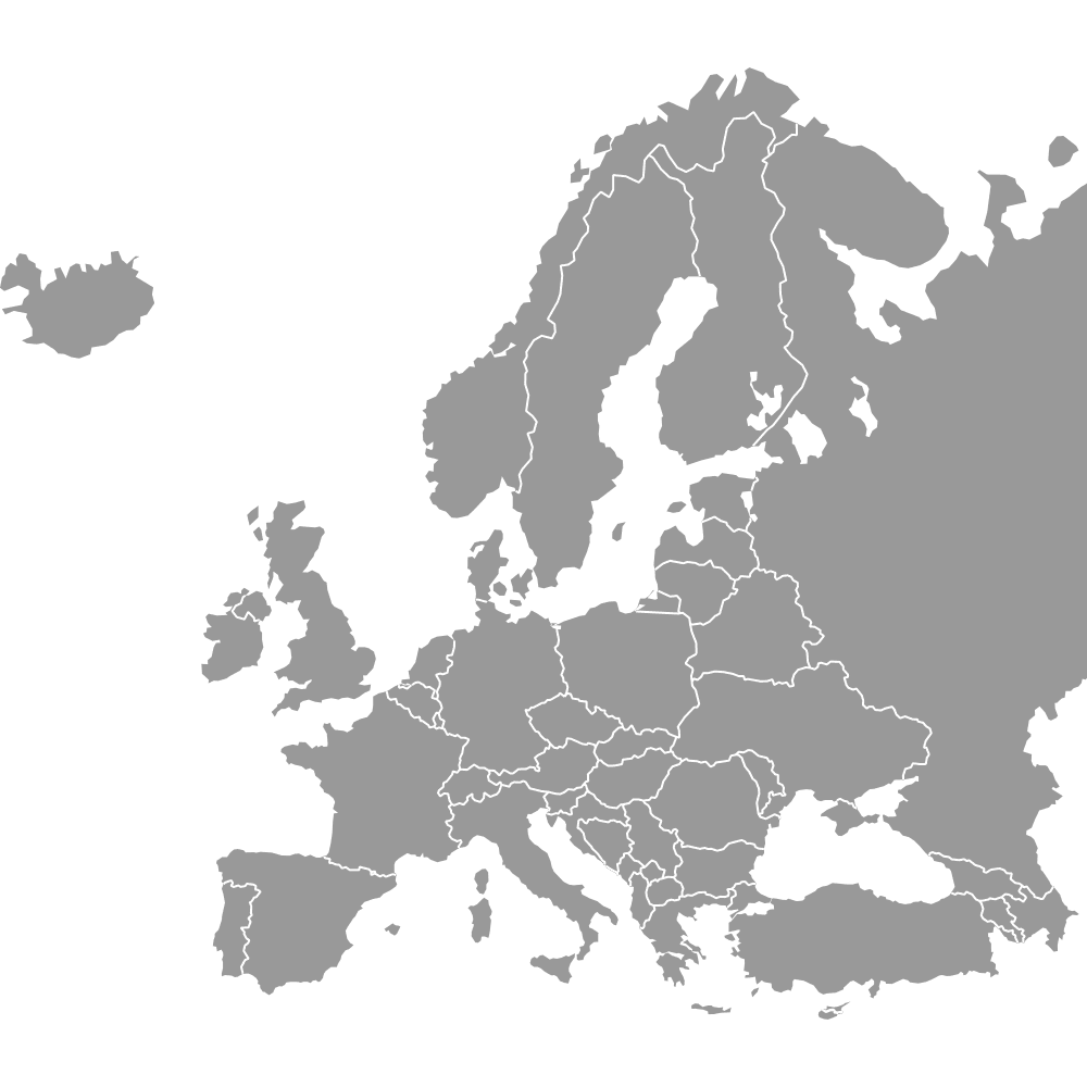
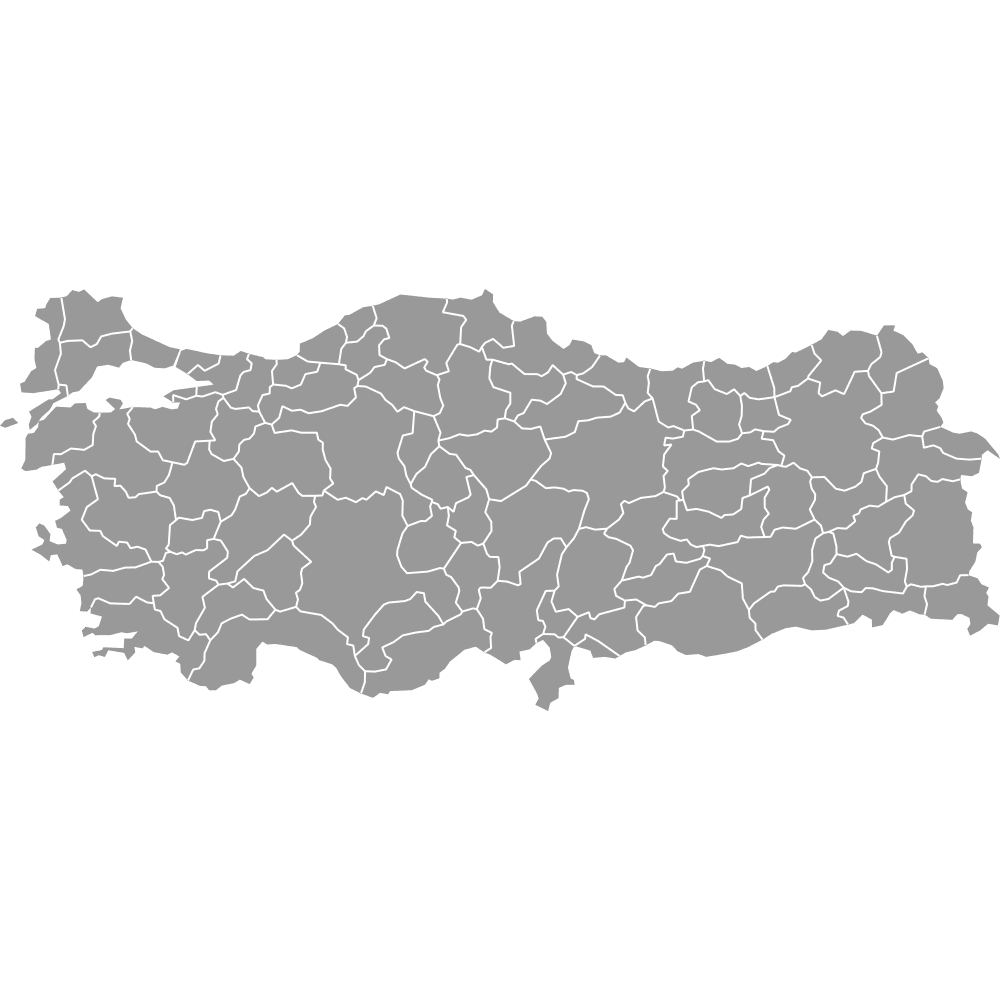
- Edges: Moldova is drawn in grey, and its districts have their own Moldova map with districts. Hungary, Ukraine, Italy and Austria are grey as well. East Thrace, the European part of Turkey, lies on the peninsula but belongs to Turkey, whose 81 provinces have their own map.
- Borders: Hungary touches Romania, Serbia, Croatia and Slovenia. Ukraine and Moldova touch Romania. Turkey touches Greece and Bulgaria. Italy and Austria touch Slovenia.
- Coast: Albania, Bosnia and Herzegovina, Bulgaria, Croatia, Greece, Montenegro, Romania and Slovenia reach the sea. Kosovo, North Macedonia and Serbia are landlocked.
- Area: Land area tops out at 230,080 km² in Romania (World Bank, 2024), the largest member. Kosovo is the smallest member by area.
- People: The 11 total 57.9 million (World Bank, 2025). Romania's 19.0 million is about a third of that, ahead of Greece with 10.4 million and Serbia with 6.5 million, while Montenegro has the fewest people, 0.6 million (all World Bank, 2025).
- Capitals: Albania's is Tirana, Bosnia and Herzegovina's Sarajevo, Bulgaria's Sofia, Croatia's Zagreb, Greece's Athens, Kosovo's Pristina, Montenegro's Podgorica, North Macedonia's Skopje, Romania's Bucharest, Serbia's Belgrade and Slovenia's Ljubljana.
- Income range: GDP per capita runs from 34,301 US$ in Slovenia to 7,027 US$ in Kosovo (World Bank, 2024).
- Today's borders: Kosovo is drawn along Natural Earth's de facto lines. North Macedonia carries the name it took in February 2019.
Interesting Facts
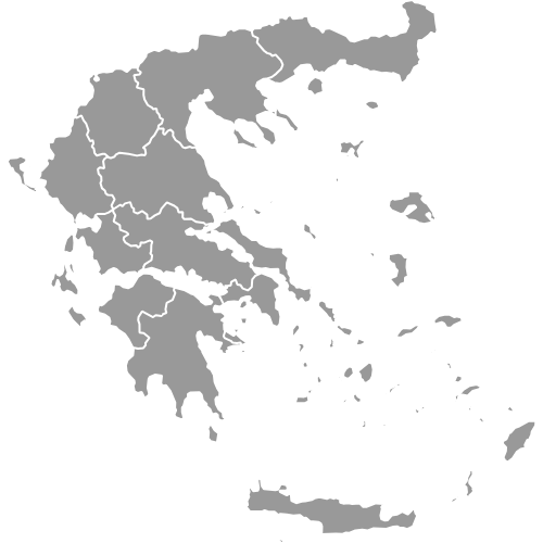
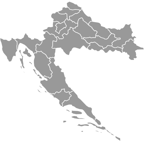
- Greece is drawn in 70 parts and Croatia in 22, because the map drops only islets under 10 km² from its Natural Earth source.
- Lake Skadar sits on the border of Albania and Montenegro, and both countries are drawn around its shores.
Free Downloads
Free for personal and commercial use with a credit to Ultimaps. See the license terms for details.
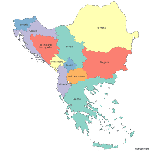 Colored Balkan Countries Mappng636 KB
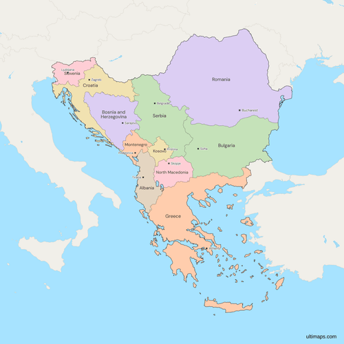 Political Map of the Balkans with Countriespng862 KB
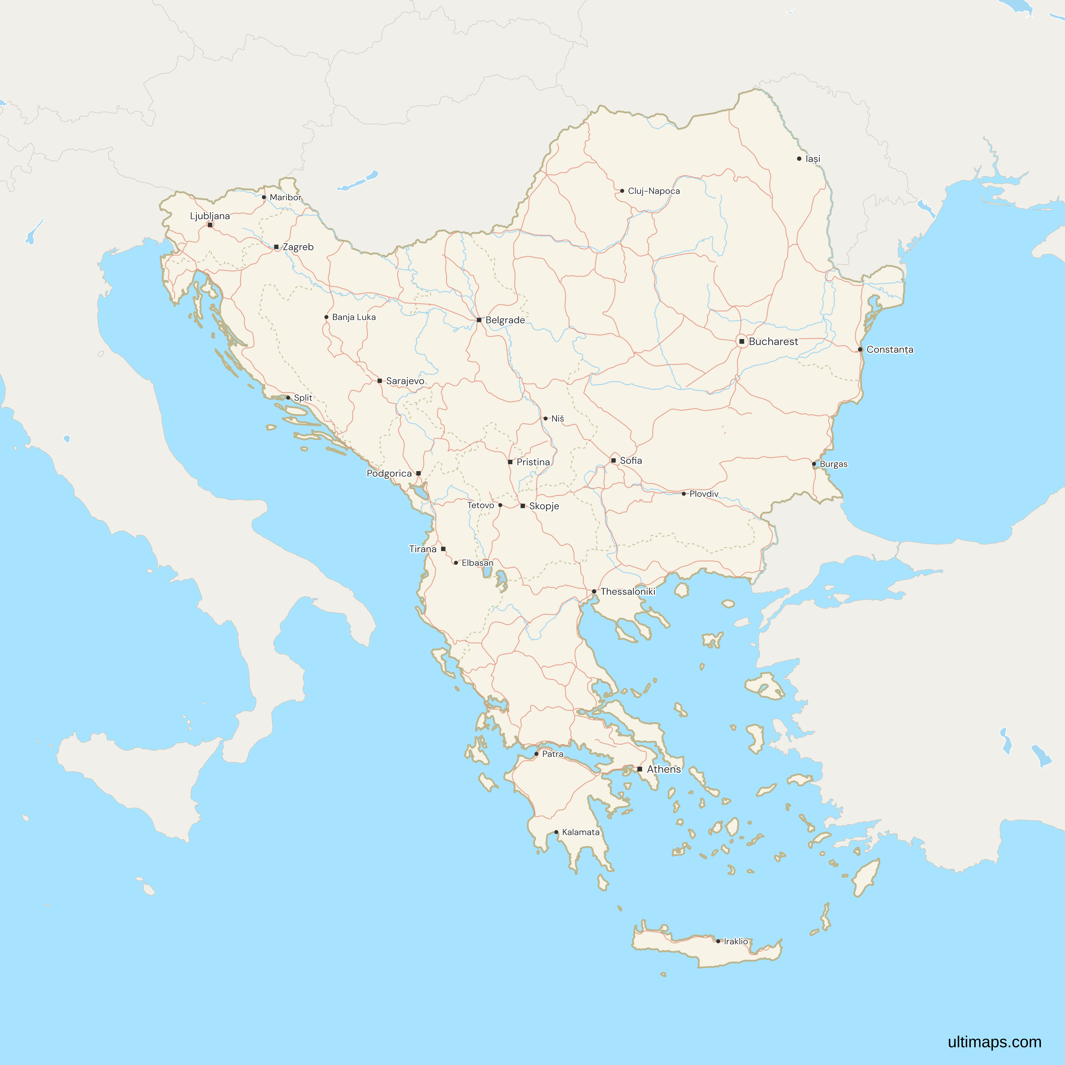
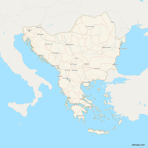 Map of the Balkans with Cities and Roadspng1165 KB
Need it without colors? The blank version of this map comes as a print-ready PDF (A4 and US Letter), a PNG and an editable SVG.
Custom Map Features
This map supports labels.
This map supports surrounding areas, roads, rivers and cities. New
This map is divided into 11 countries.
Updates
Nov 5, 2026:
- Added map of the Balkans countries
Frequently Asked Questions
This map draws 11 Balkan countries: Albania, Bosnia and Herzegovina, Bulgaria, Croatia, Greece, Kosovo, Montenegro, North Macedonia, Romania, Serbia and Slovenia. No treaty or international body fixes the list, so sources count by geography, by history or by politics and reach different totals. The cases people ask about most are Romania, which lies largely north of the peninsula's usual edge, and Kosovo, whose status is contested. The next answers take both in turn, along with Yugoslavia, the Western Balkans and the difference from Southeast Europe.
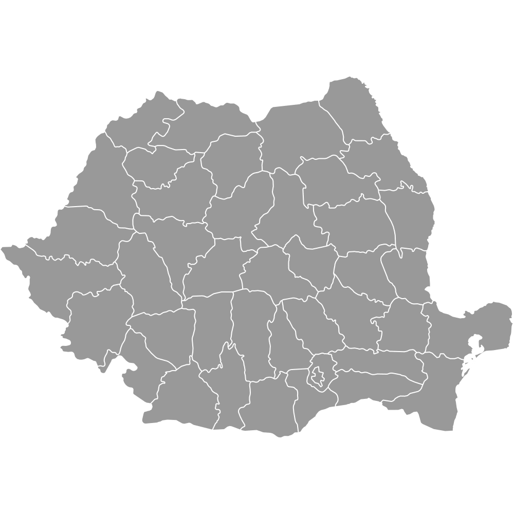
Romania is a Balkan country on broad definitions, and this map includes it. Most of Romania lies north of the Danube, Sava and Kupa line that narrow geographic definitions use as the northern edge of the Balkan Peninsula, so those definitions take in only Northern Dobruja. Romania has 19.0 million people (World Bank, 2025), more than any other country on this map, and Bucharest is its capital. Slovenia lies wholly north of that line, and Croatia and Serbia partly, yet the map keeps all three. Romania's 41 counties and Bucharest have their own Romania counties map.
Kosovo declared independence from Serbia on 17 February 2008, and Serbia does not recognize it. Kosovo's own institutions govern the territory, and Serbia claims it as its Autonomous Province of Kosovo and Metohija. The map draws Kosovo as a region of its own, along the de facto lines in Natural Earth's data, so you can color and label it like the others. Kosovo has no ISO 3166-1 country code, so the map identifies it by its name. It has 1.6 million people (World Bank, 2025) and is the smallest of the 11 members by area.
Seven of the 11 countries on this map come from Yugoslavia. Slovenia, Croatia, Bosnia and Herzegovina, North Macedonia, Serbia and Montenegro were its republics, and Kosovo was a province of Serbia. Albania, Bulgaria, Greece and Romania were never part of it, though all four are drawn here as Balkan countries. Montenegro left a joint state with Serbia in 2006, and Kosovo declared independence in 2008, which makes it the most recent change to the set. The map shows today's borders, not those of Yugoslavia or of the First World War, so it draws no historical Balkan states.
Southeast Europe is the wider, more neutral name. Sources disagree on its list, and some add Moldova, Cyprus or Turkey. The Balkans on this map are the 11 countries listed above, a narrower set. The Balkan Peninsula is a geographic term, not a political one. Its usual northern line along the Danube, Sava and Kupa leaves out most of Romania, all of Slovenia and the north of Croatia and Serbia, while its southeastern end takes in East Thrace, the European part of Turkey. A country list built on the peninsula alone would therefore differ from this map's.
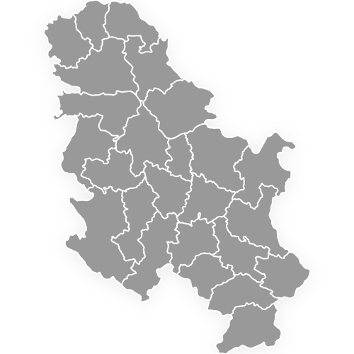
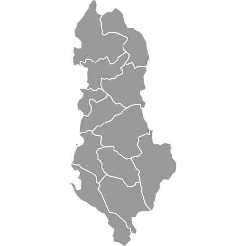
The Western Balkans is a European Union term for six partners: Albania, Bosnia and Herzegovina, Kosovo, Montenegro, North Macedonia and Serbia. All six are drawn on this map, so the Western Balkans are a subset of the 11 and not a synonym for the whole region. Bulgaria, Croatia, Greece, Romania and Slovenia are the other five, and the term is used in European Union enlargement policy. The Serbia districts map and the Albania counties map show two of the six at a finer level.
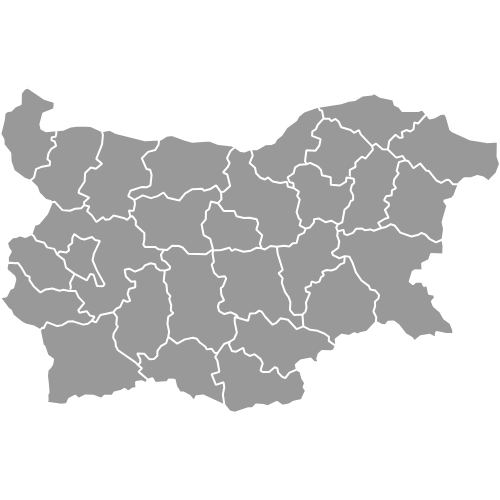
Greece and Bulgaria are in the Balkans, and the map draws both. Mainland Greece lies on the peninsula, and the whole country is drawn, Crete and the other islands of 10 km² or more in its source data included. The Greece regions map shows its regions, and Bulgaria has its own provinces map. Turkey is not a member, but its European part, East Thrace, lies on the peninsula. The map draws East Thrace within Turkey, which stays grey like the other neighbors.
The free Ultimaps editor opens this map with no account needed. To color the countries by hand, click each one. To color them by data, upload a table with one row per country and its value, and give Kosovo its own row. Add pins and labels, then share the finished map by link or embed it on a website. A free export is a standard PNG with a small Ultimaps credit. High-resolution PNG, SVG and PDF export are Pro features.